Mount Yari | A Two-Day Journey to Japan’s Spear-Shaped Summit
Translated from Bikepacking diary’s original Mount Yari article, published on January 16, 2019, and republished by arrangement with the author. Photographs are linked directly from the original website.
Editor’s note: This is a historical personal account, not a current route, medical or insurance guide. Check current trail conditions, weather, access, hut and campsite arrangements and insurance terms before travel. Previous experience at altitude does not prevent altitude illness. If symptoms suggest it, do not continue ascending; seek qualified help and descend as appropriate. Treat natural water and follow hut instructions for stored rainwater. Registration and insurance do not eliminate mountain risk or guarantee rescue coverage. The author’s pace and difficulty assessments are personal, not recommendations for every hiker.
A Mountain That Captured My Imagination
Mount Yari rises to 3,180 meters and is described in the original account as Japan’s fifth-highest mountain. Alongside Mount Fuji, it occupies a special place in the country’s mountain imagination.
The author of One Hundred Mountains of Japan, Kyuya Fukada, expressed an idea that I remember this way: just as people dream of climbing Fuji once in their lives, what mountaineer does not dream of standing on Yari?
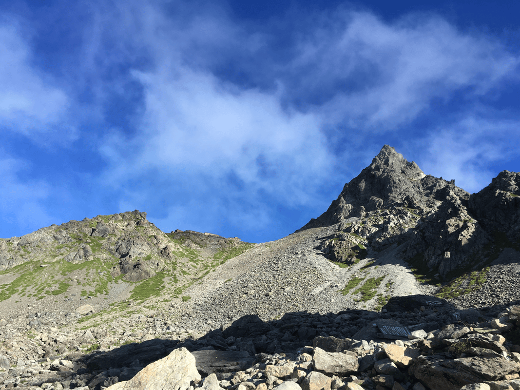
It is not Japan’s highest peak, but its shape, like a spear thrust into the sky, makes it a natural object of longing.
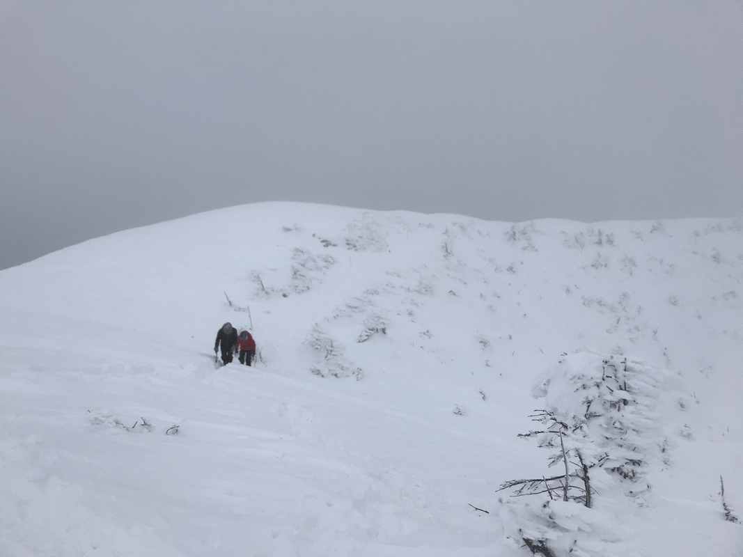
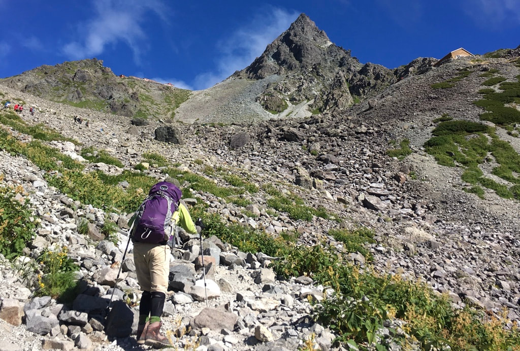
Yari had been the goal of my first mountain trip in Japan. That attempt ended short of the summit because of snow on the ridges and a companion’s altitude illness. From Mount Sugoroku, we could only look toward its imposing silhouette.
Returning in Summer
When summer came and the mountain snow had receded, I tried again. This time my companion had previously climbed to 6,000 meters. I hoped altitude would not stop us, though I now need to distinguish that hope from a reliable assessment of acclimatization.
I had managed to arrange a ride with guests who were also heading to the mountains. Instead of starting around midday, we were on our way toward Kamikochi before dawn.
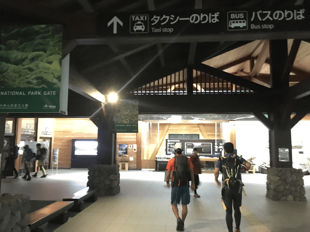
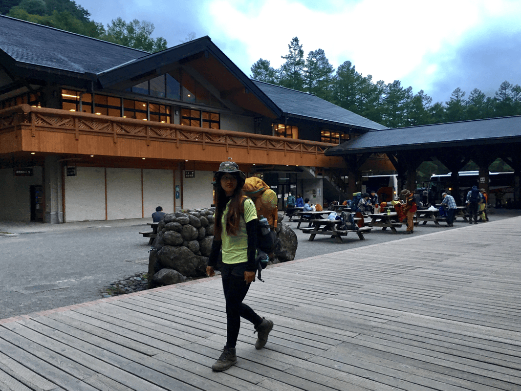
Private-car access to Kamikochi was restricted, so we transferred at Sawando to an authorized taxi and continued to Kamikochi Bus Terminal.
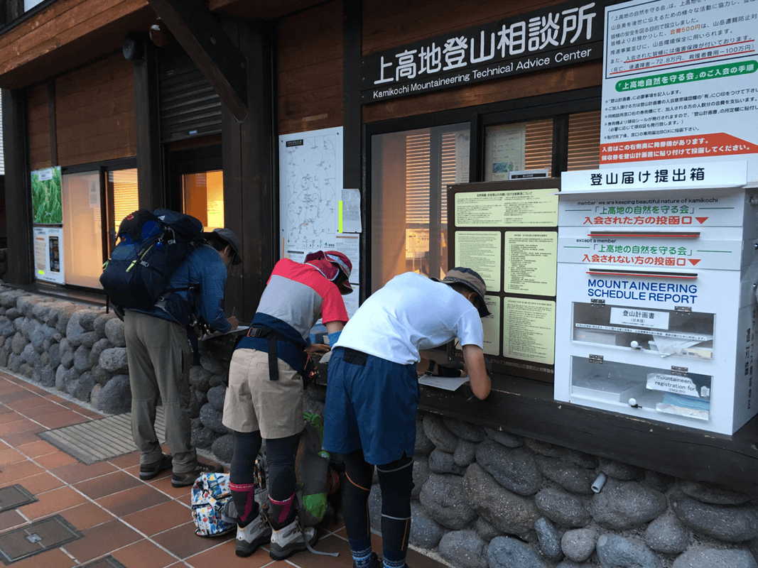
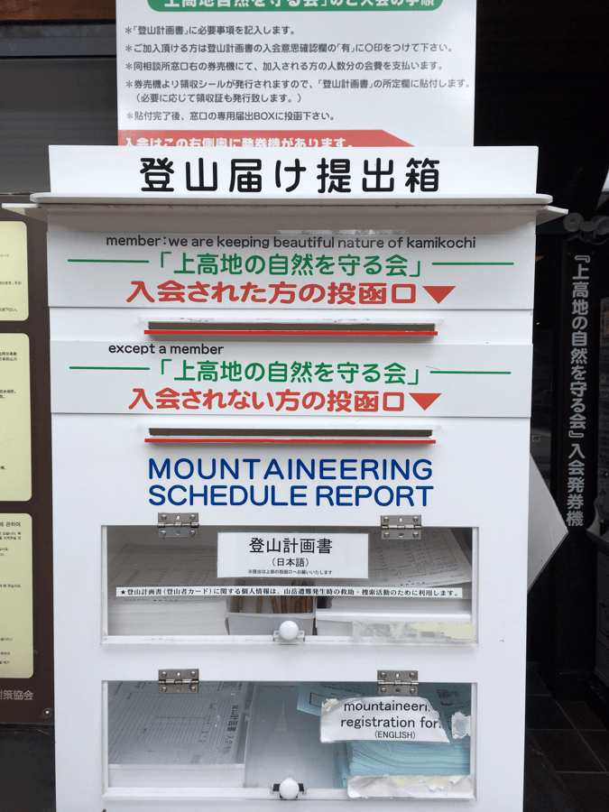
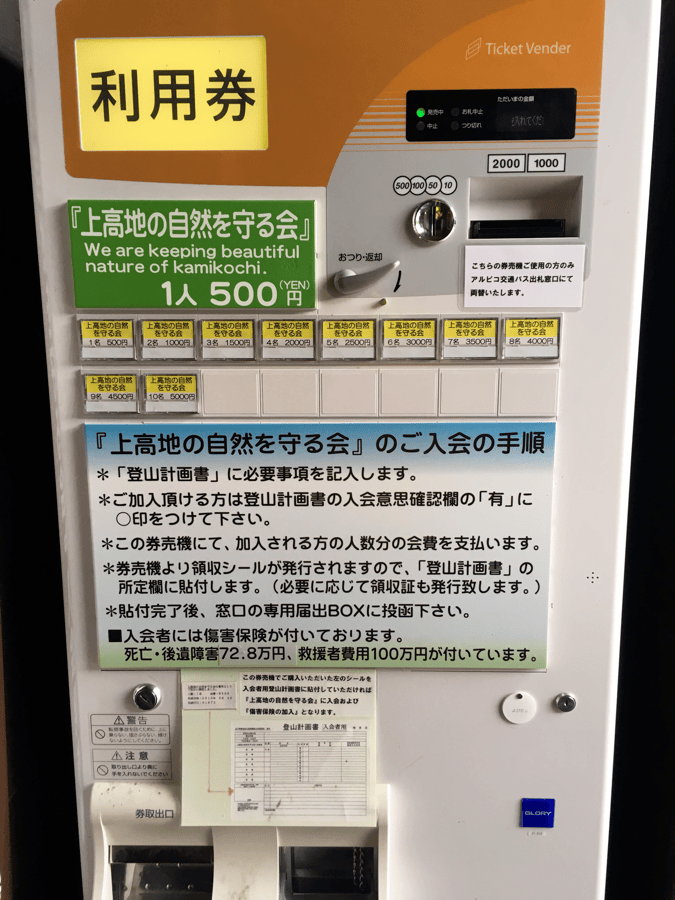
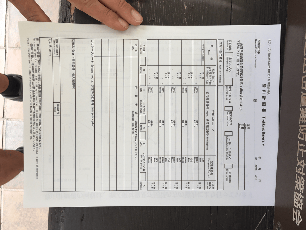
Because Kamikochi was the starting point for many mountain routes, registration forms were available beside the terminal. At the time, I also saw a vending-machine system for purchasing mountain-insurance stickers to attach to the submitted form.
I found that reassuring and understood that some policies could help with rescue costs, including helicopter expenses. Actual coverage, however, depends on the policy and circumstances; buying a sticker should never be confused with removing the risks of a climb.
From Kappa Bridge into the Mountains
At Kappa Bridge, we parted from the guests and began our own journey toward Yari.
In my mind, the route divided into two parts: the gentle visitor paths from Kamikochi, followed by the harder ascent beyond Yarisawa.
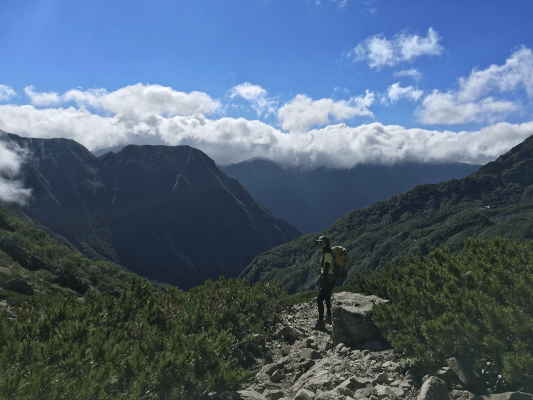
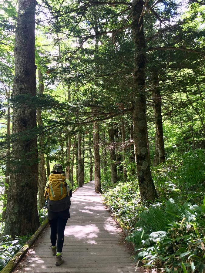
The first section felt easy and relaxed. We walked and chatted along a mostly gentle trail.
Alongside hikers were families with young children, many apparently heading to camp at Tokusawa. Watching children play in the forest and examine insects, I imagined they might grow up loving the mountains too.
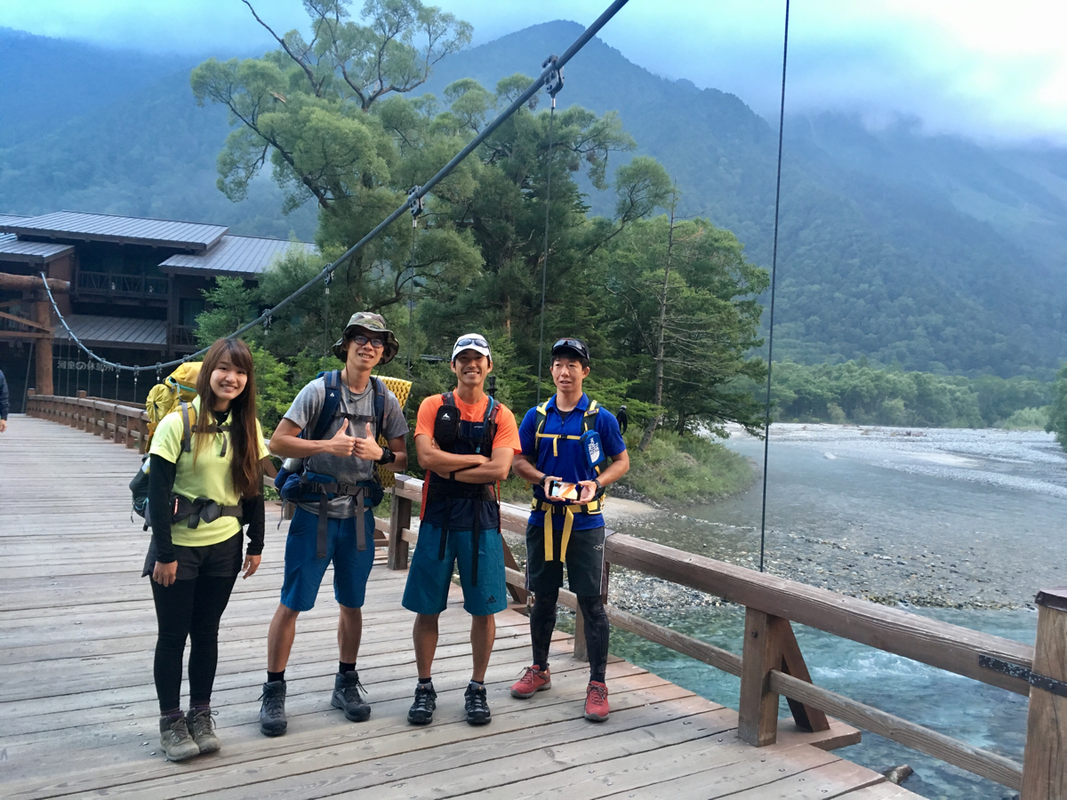
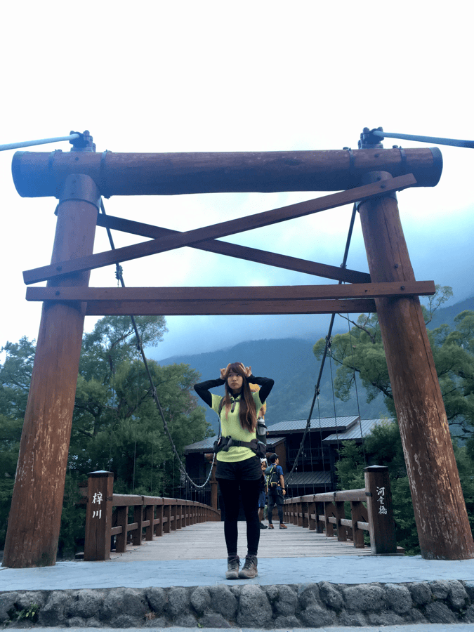
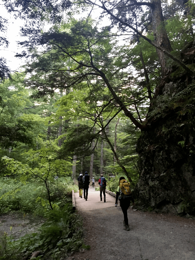
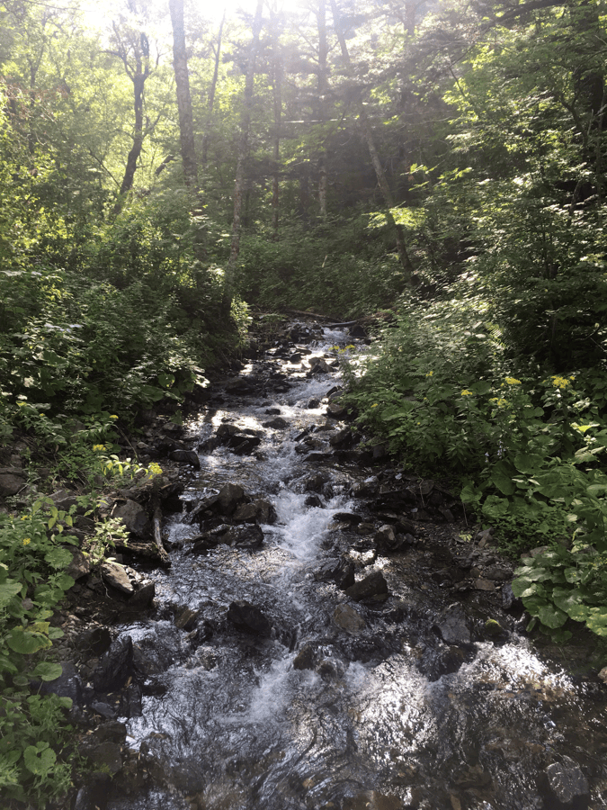
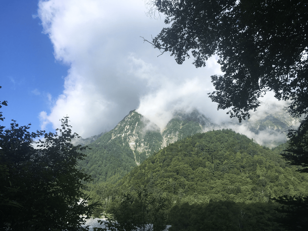
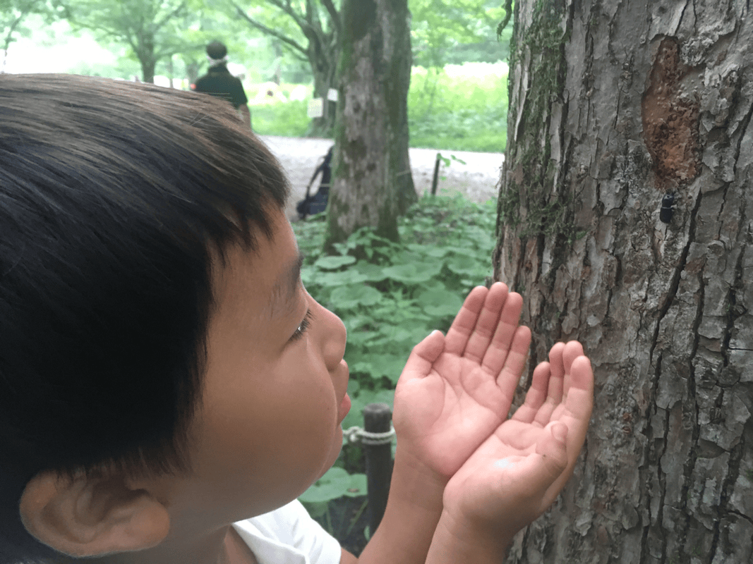
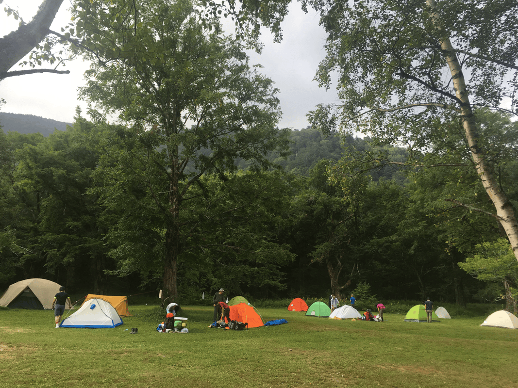
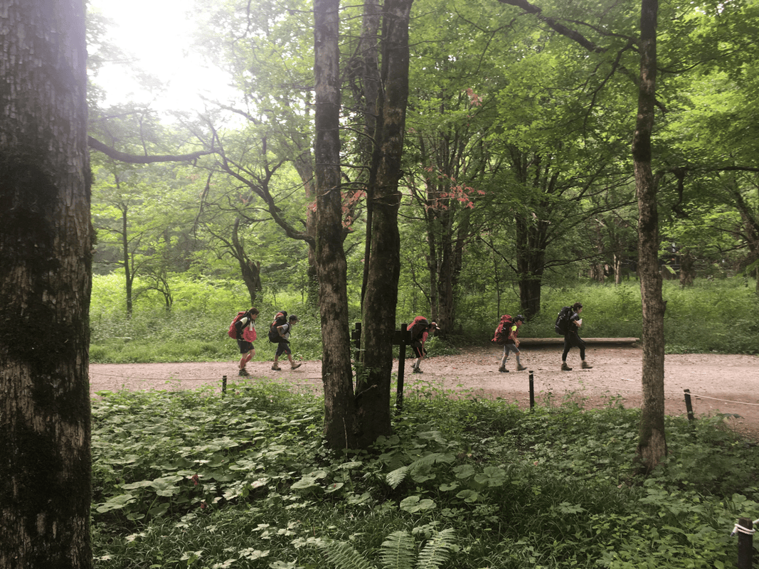
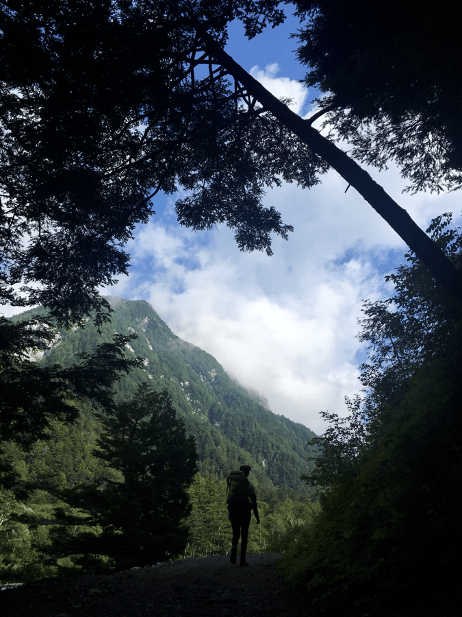
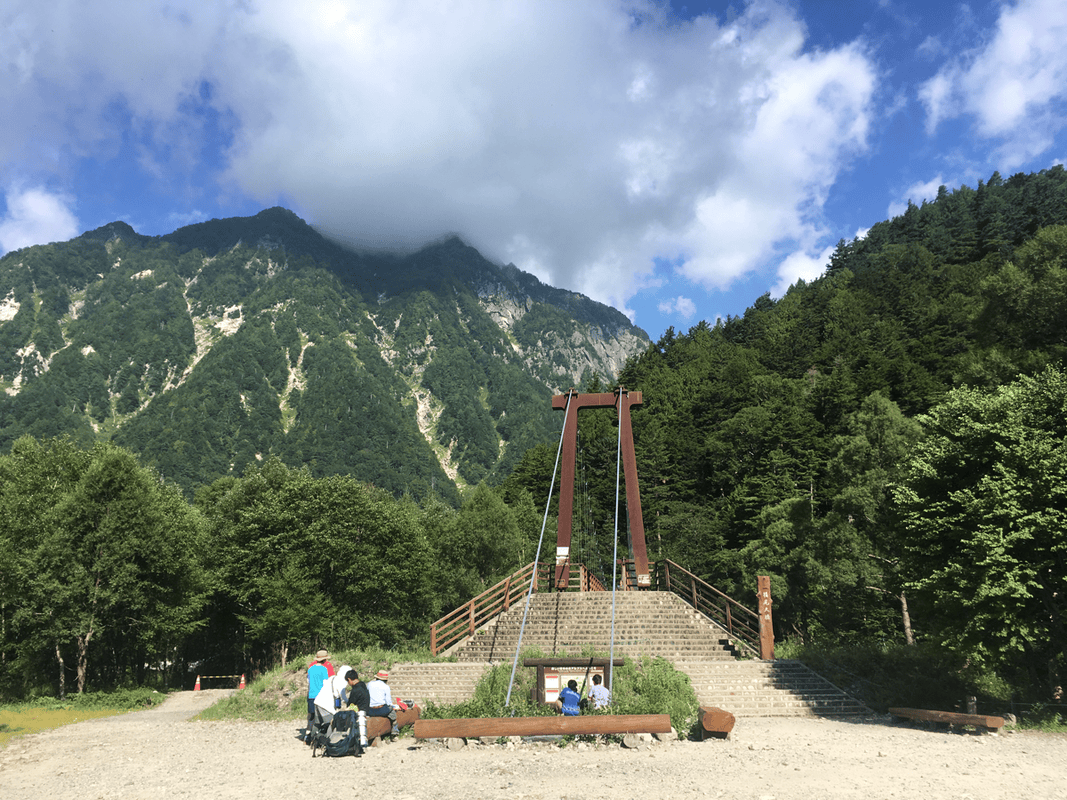
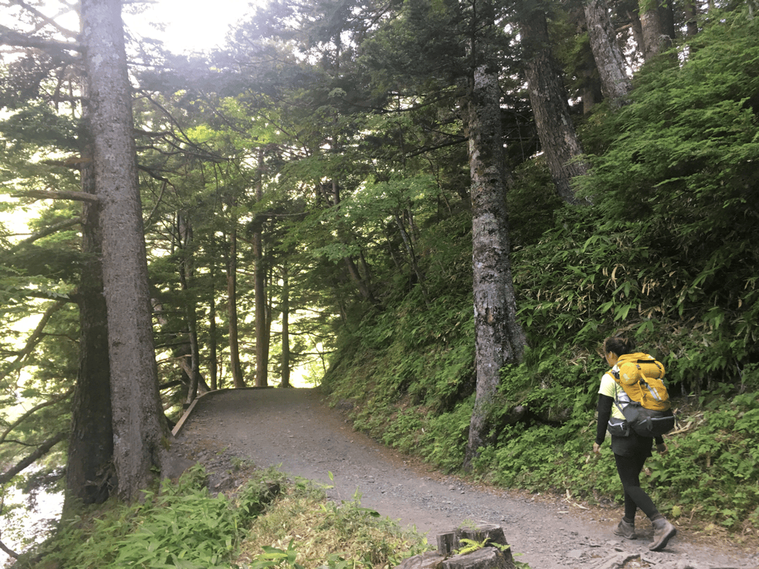
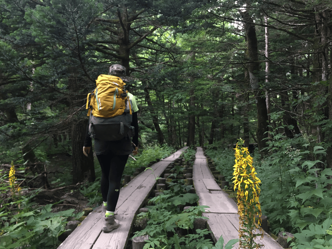
Beyond Tokusawa, most people we met were hikers. The paths also led toward the Hotaka peaks, Karasawa and the Omote Ginza routes, so there was a steady stream of people.
We met two or three groups from Taiwan. Hearing familiar voices in another country made me especially happy.
A Much Harder Climb beyond Yarisawa
Before Yarisawa Lodge, the huts were relatively close together. Water was available at the huts on our visit, and the gentle path made both effort and supplies feel manageable.
That easy beginning encouraged us to underestimate what remained.
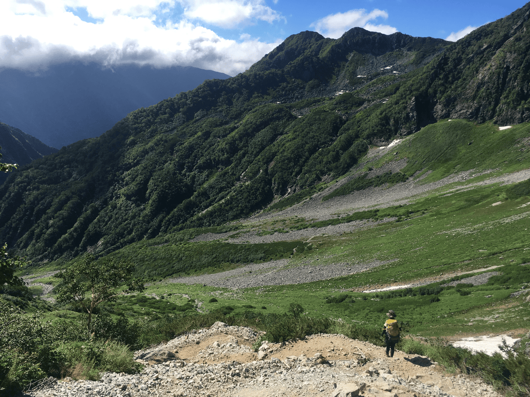
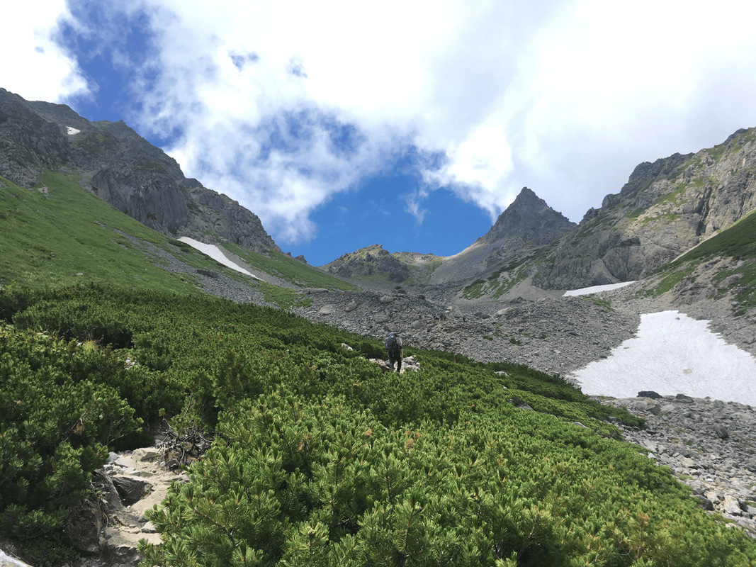
After Yarisawa Lodge, the ascent began in earnest. My companion grew tired, walked heavily and sweated a great deal. I wondered whether altitude might be contributing, though those observations alone were not a diagnosis.
At the same time, our water was running low, and the huts were no longer as close together.
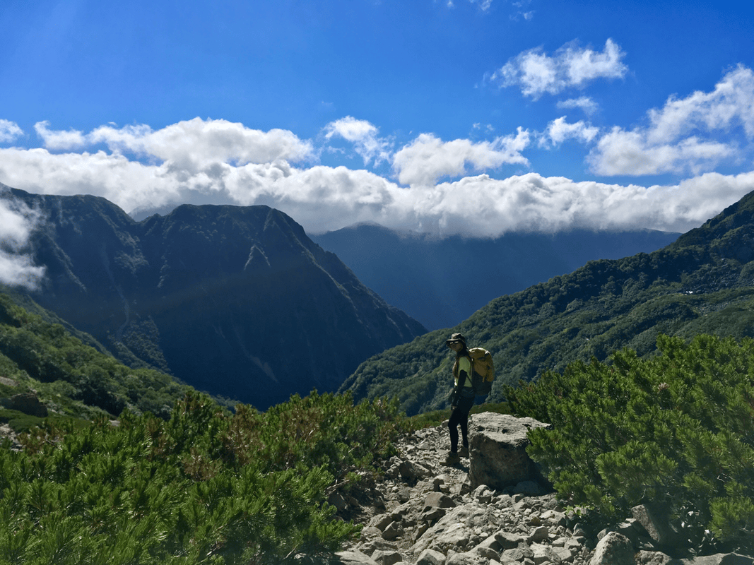
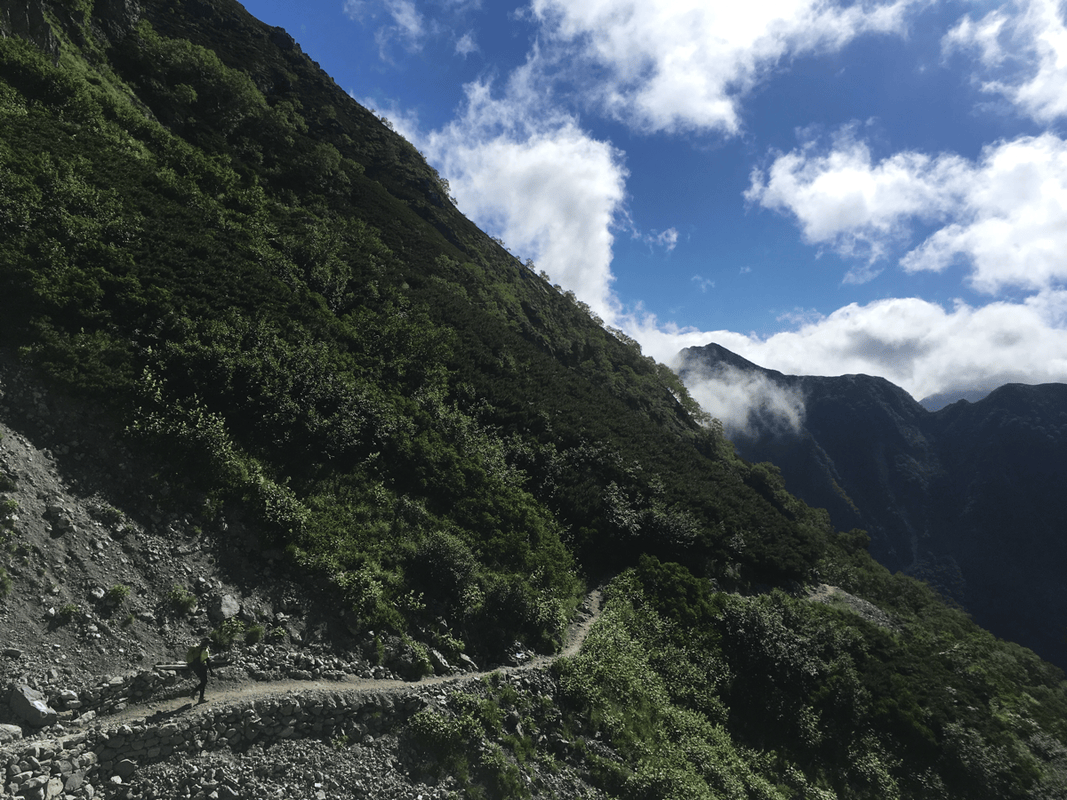
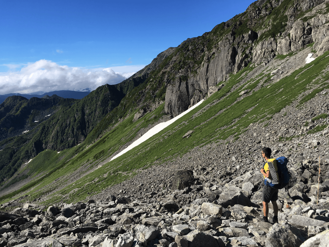
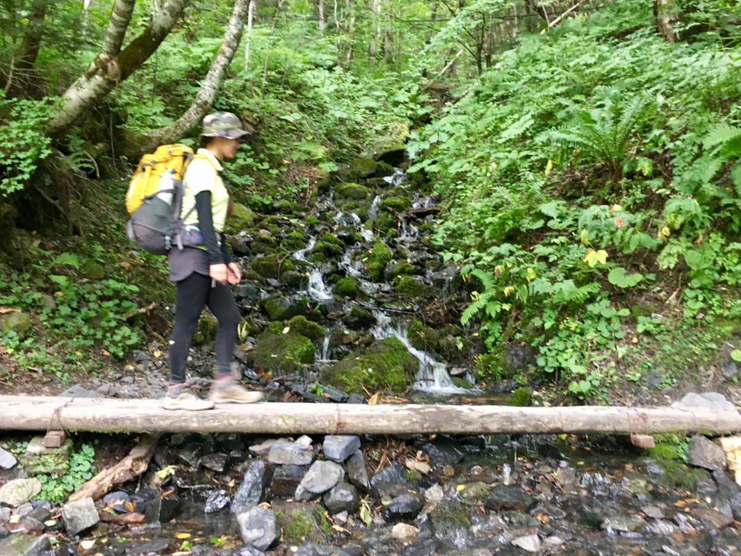
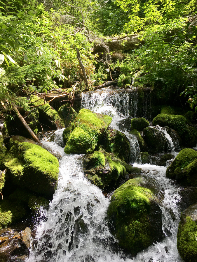
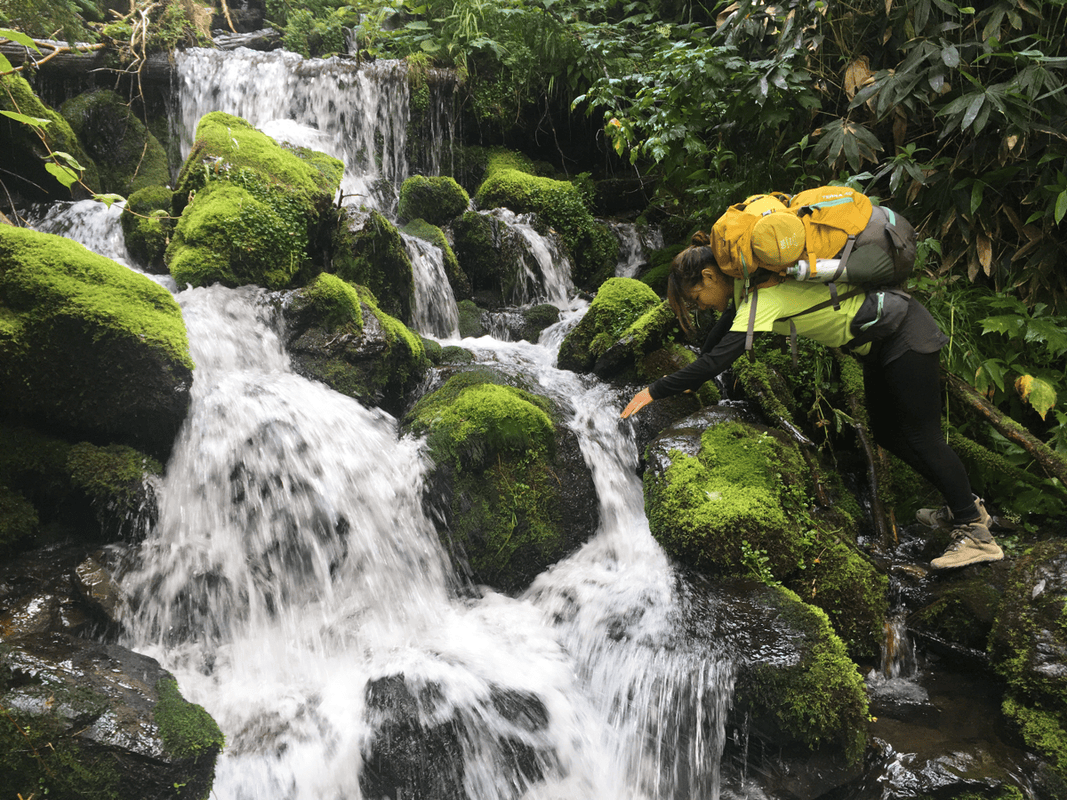
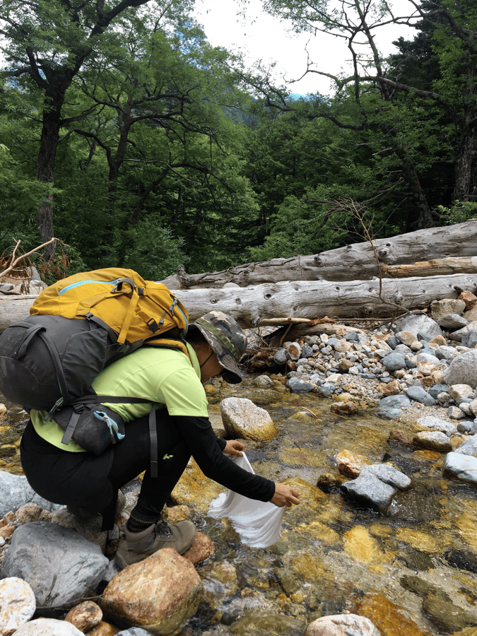
As I grew anxious, I heard flowing water. The trail climbed a valley beside the upper waters of the Azusa River, the source of the clear stream running through Kamikochi.
At the time, I filled our bottles directly and drank. The relief was immediate. That choice belongs to the story, not to safe advice: clear-looking mountain water can still require treatment.
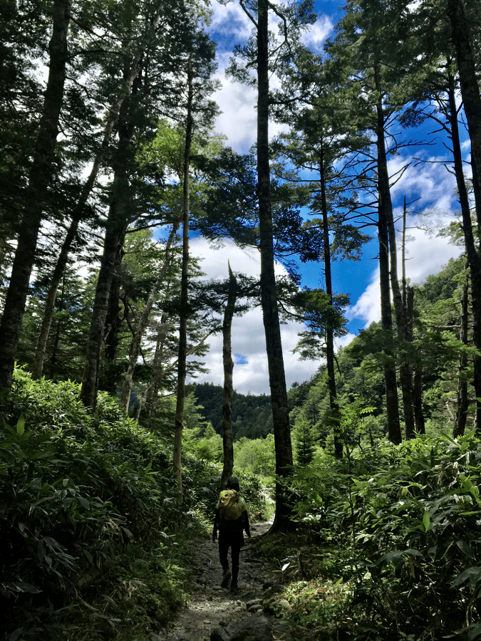
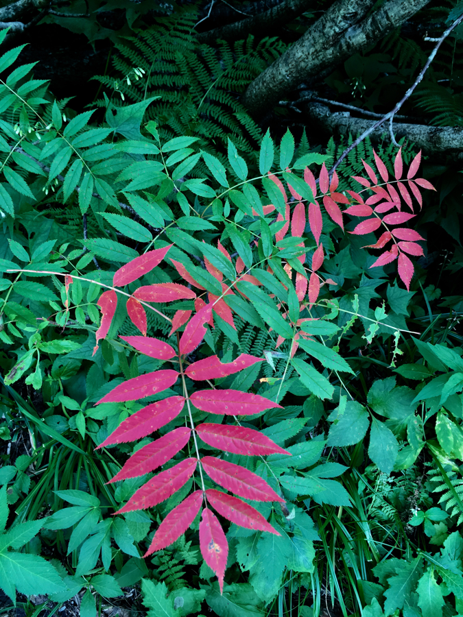
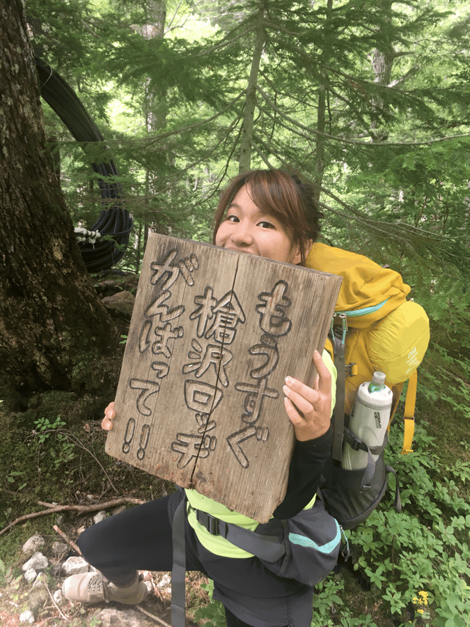
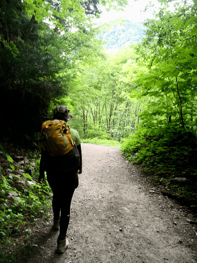
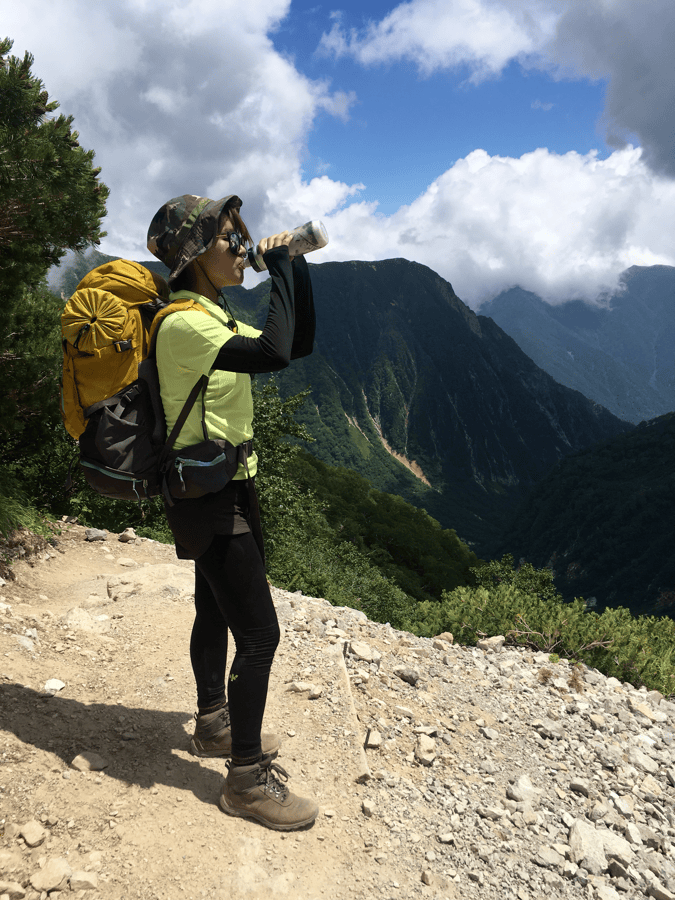
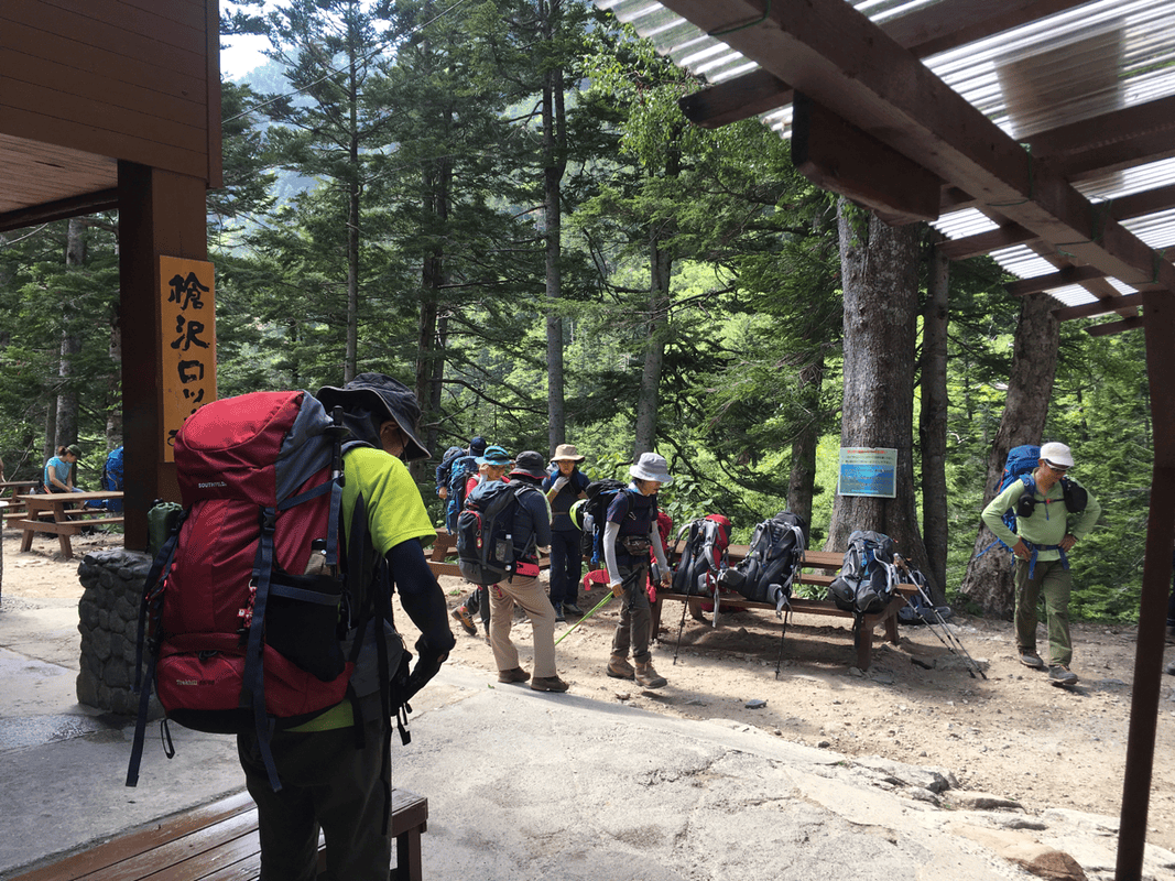
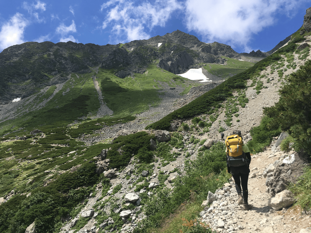
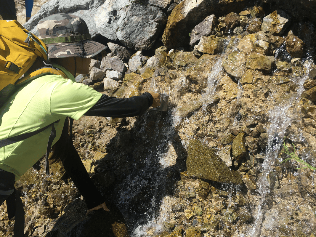
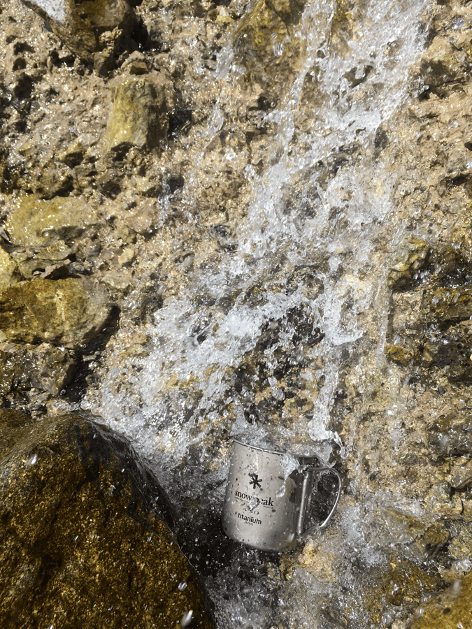
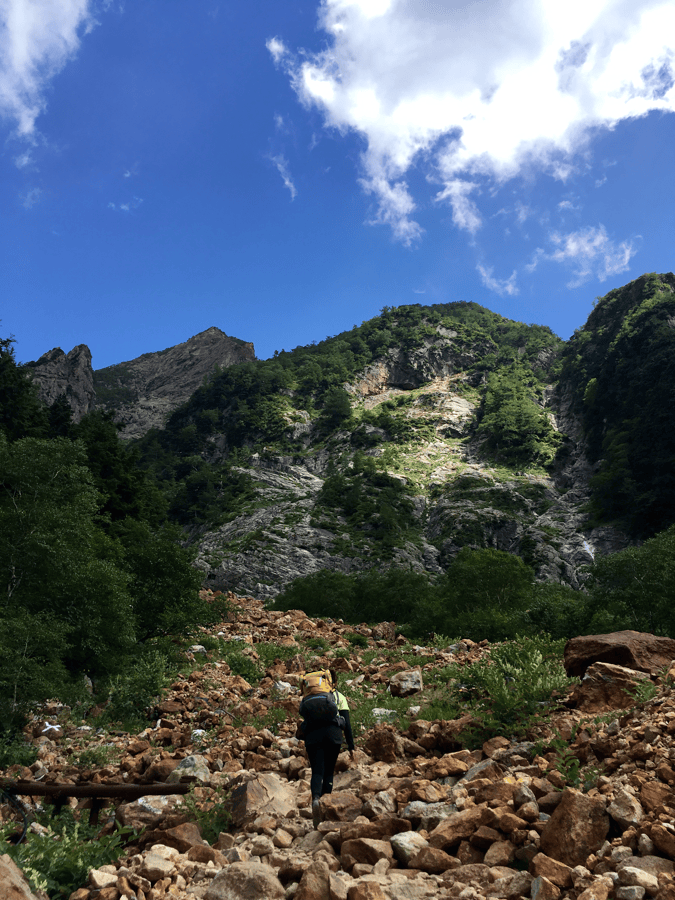
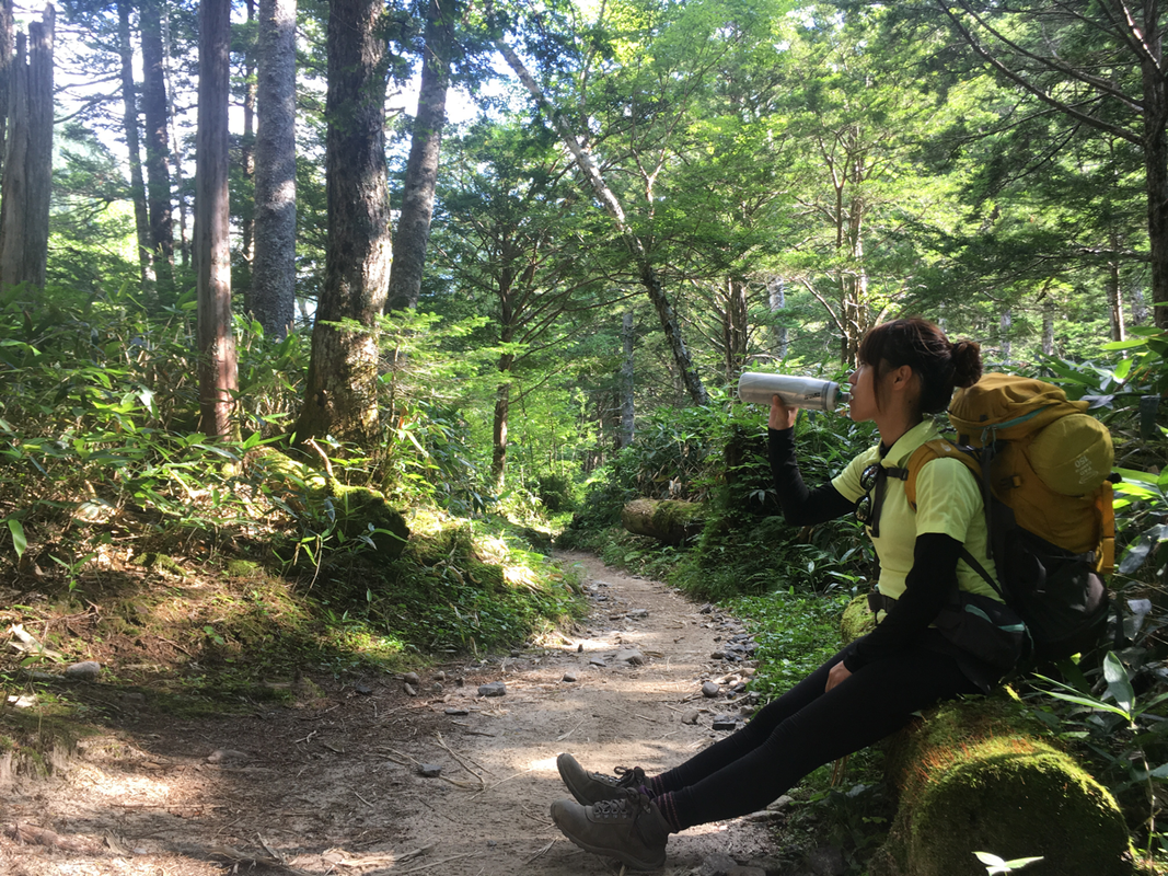
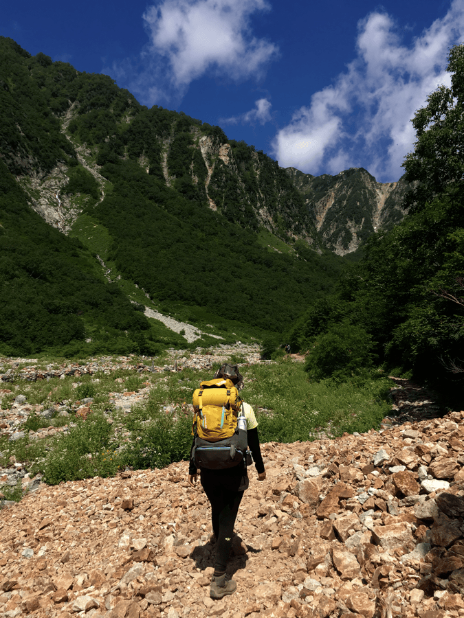
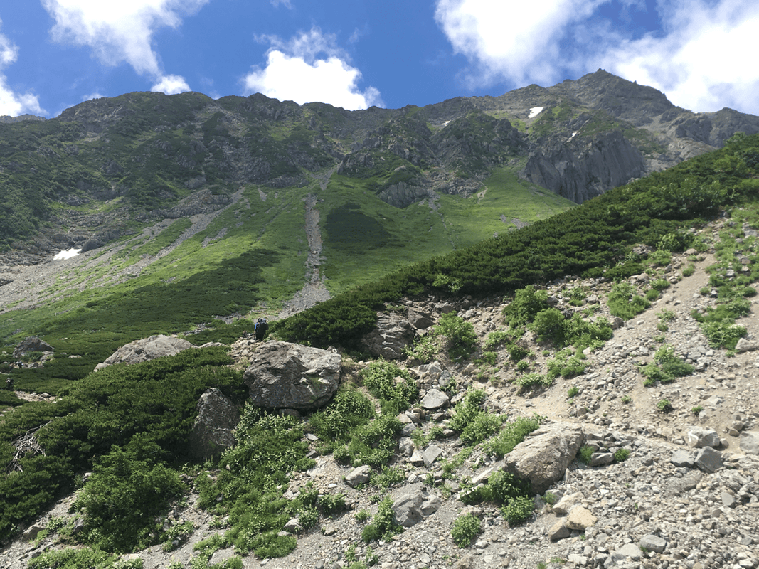
We continued slowly, taking repeated rests, until we reached Sessho Hut, where we planned to camp. The summit finally felt close.
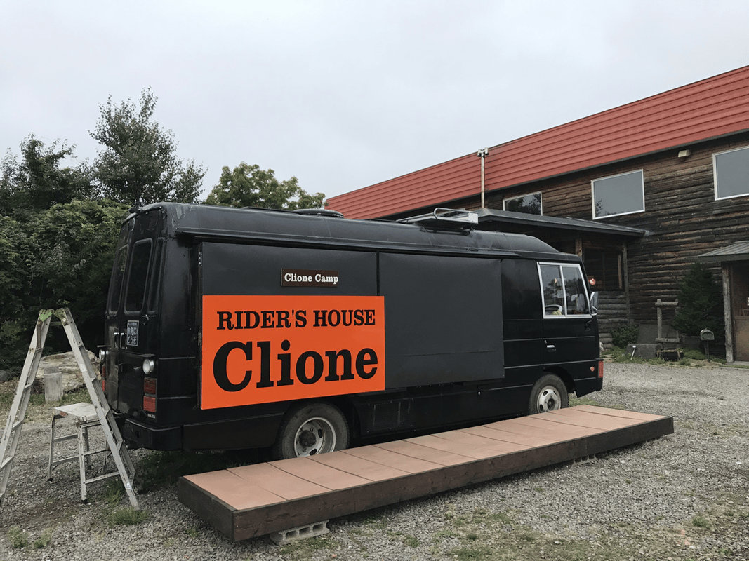
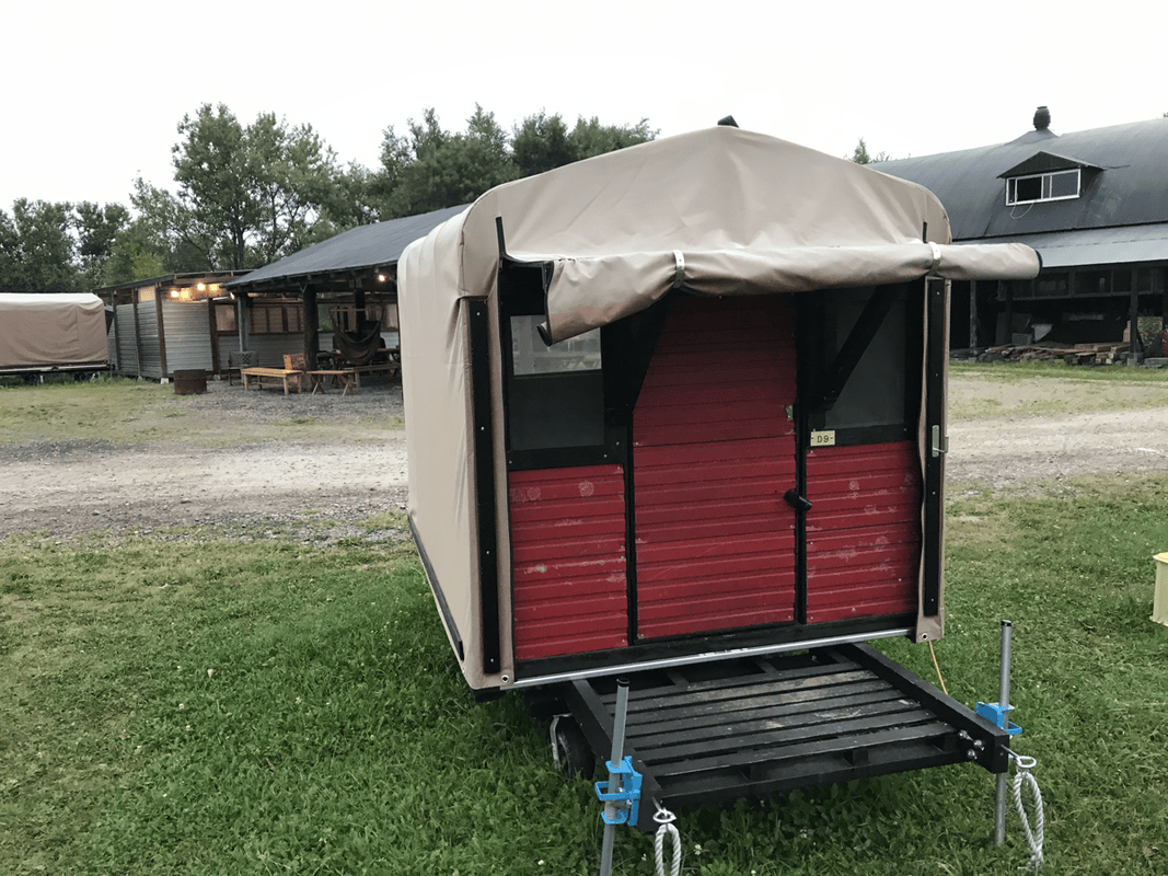
Camping at Sessho Hut
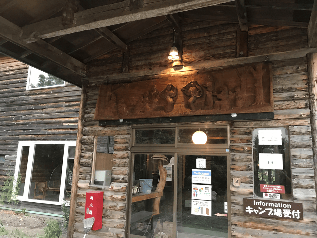
We registered with the hut and paid JPY 1,000 per person for camping, the fee on that visit, then chose a pitch.
Sessho was not the highest hut, and its camping ground was not especially level. Even so, I preferred it to the exposed-looking pitches near Yarigatake Sanso higher up.
The forecast suggested a change in the weather the following day, and I was uneasy about camping close to a cliff in strong wind.
The Final Rocky Summit
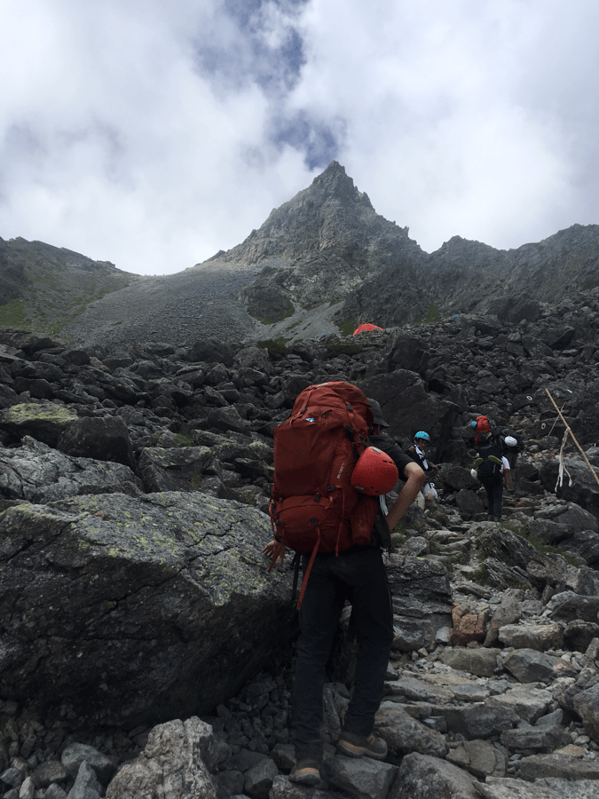
The climb from Sessho Hut toward Yarigatake Sanso did not feel especially difficult to me. What concerned me more was whether my tired companion could manage the final rocky ascent.
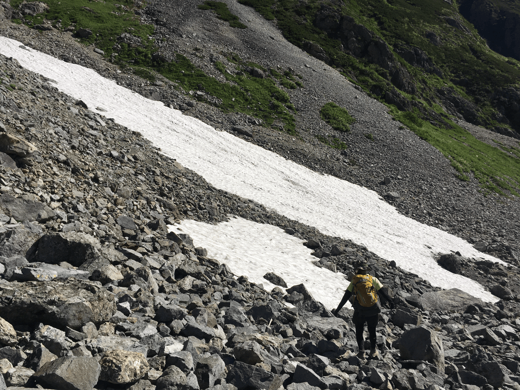
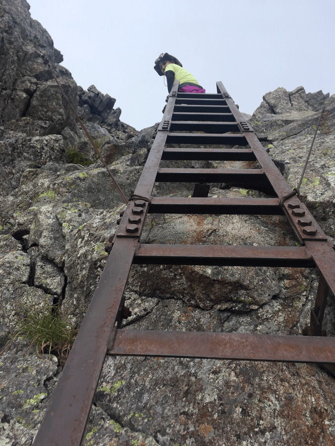
To my surprise, the person who had seemed exhausted below moved over the rocks with remarkable agility. I was the one breathing hard and struggling to keep up.
Fortunately for my pride, other climbers were waiting at the more difficult sections, giving me time to recover.
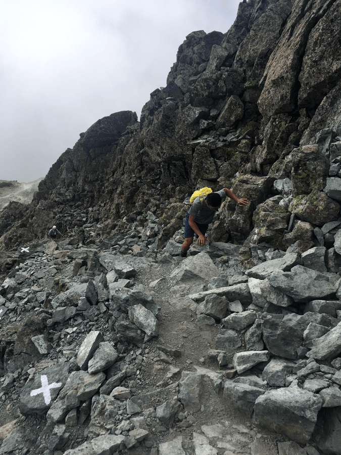
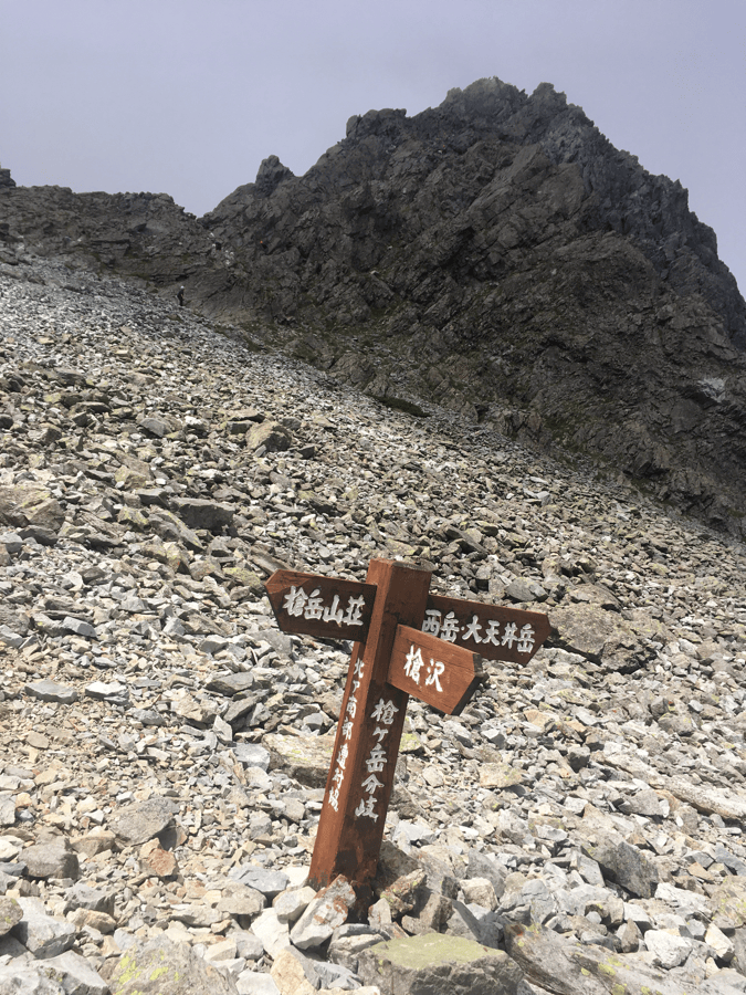
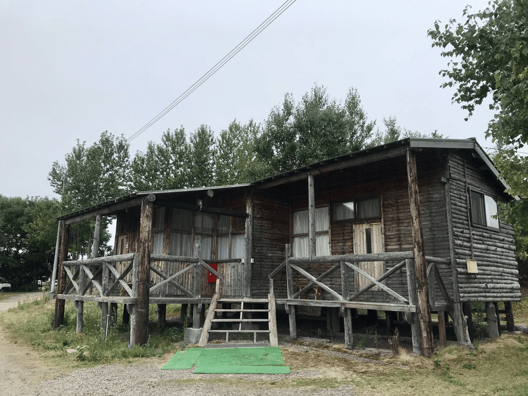
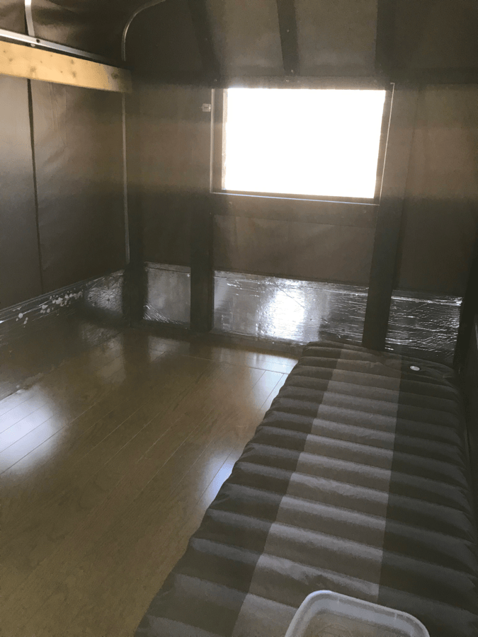
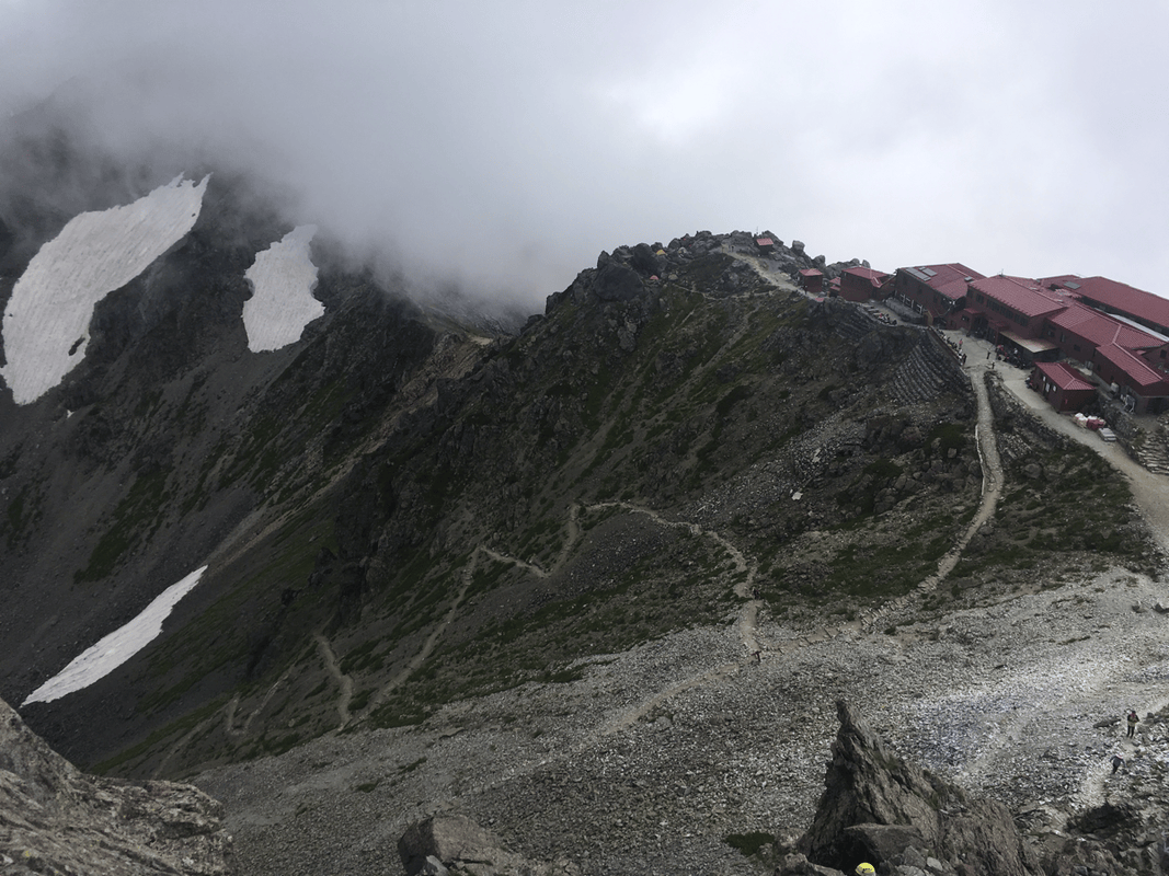
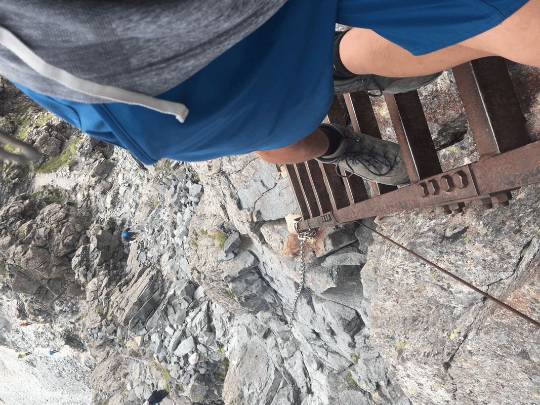
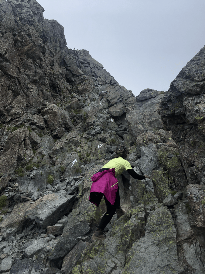
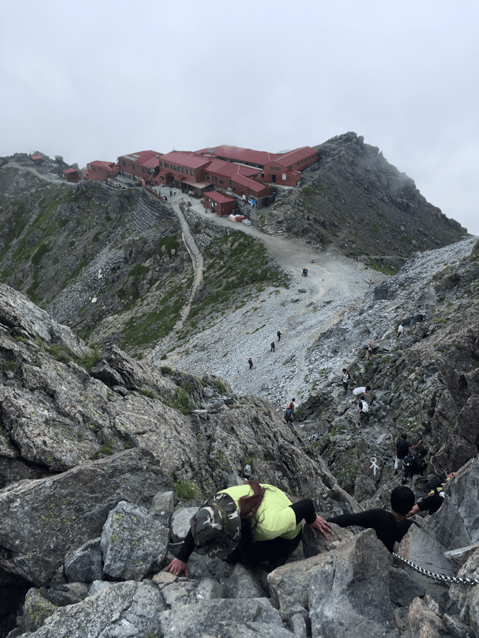
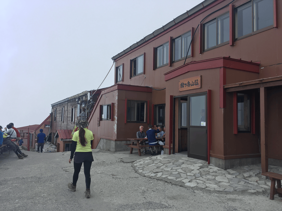
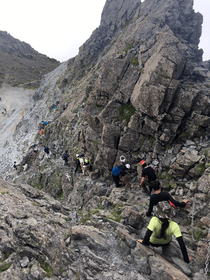
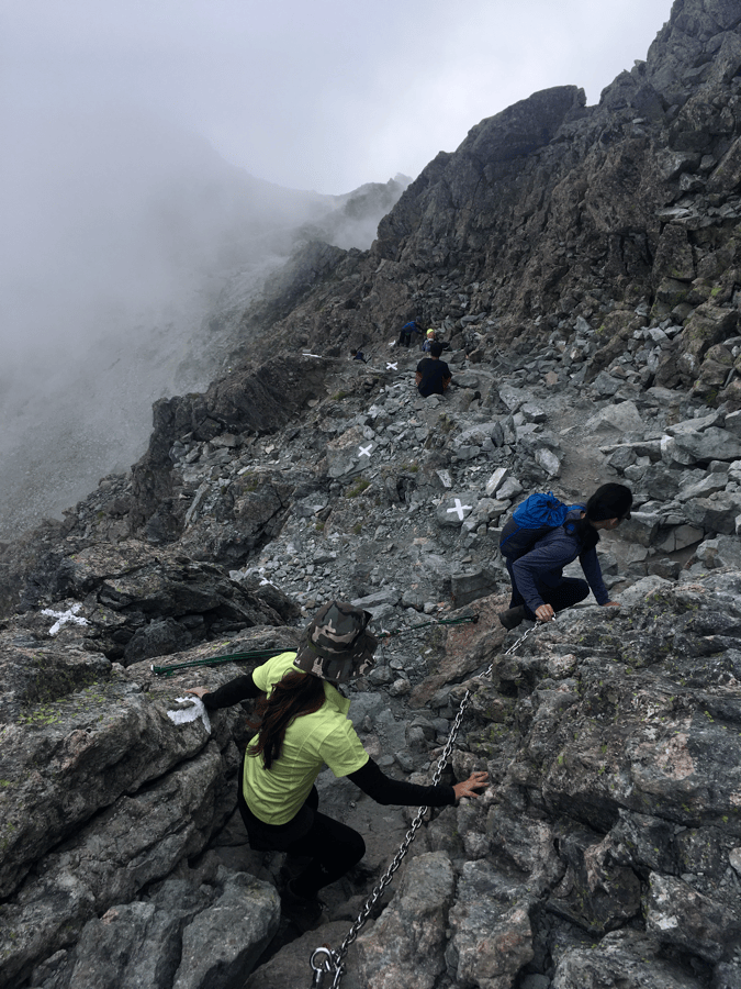
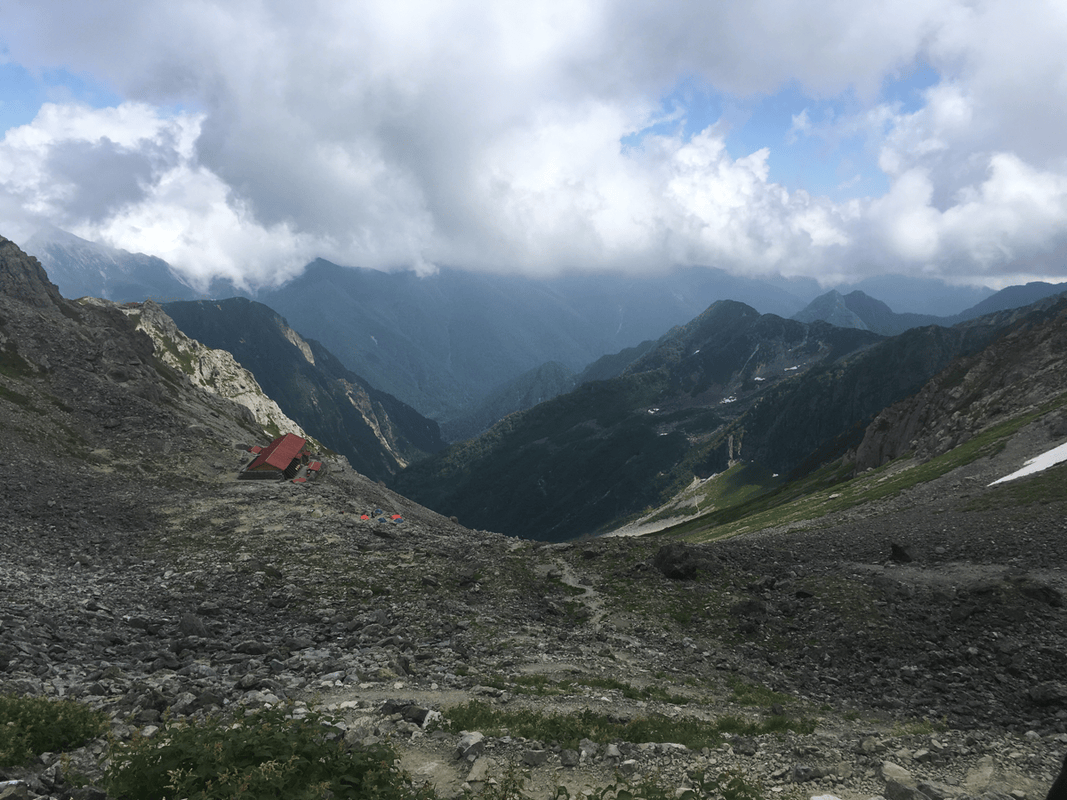
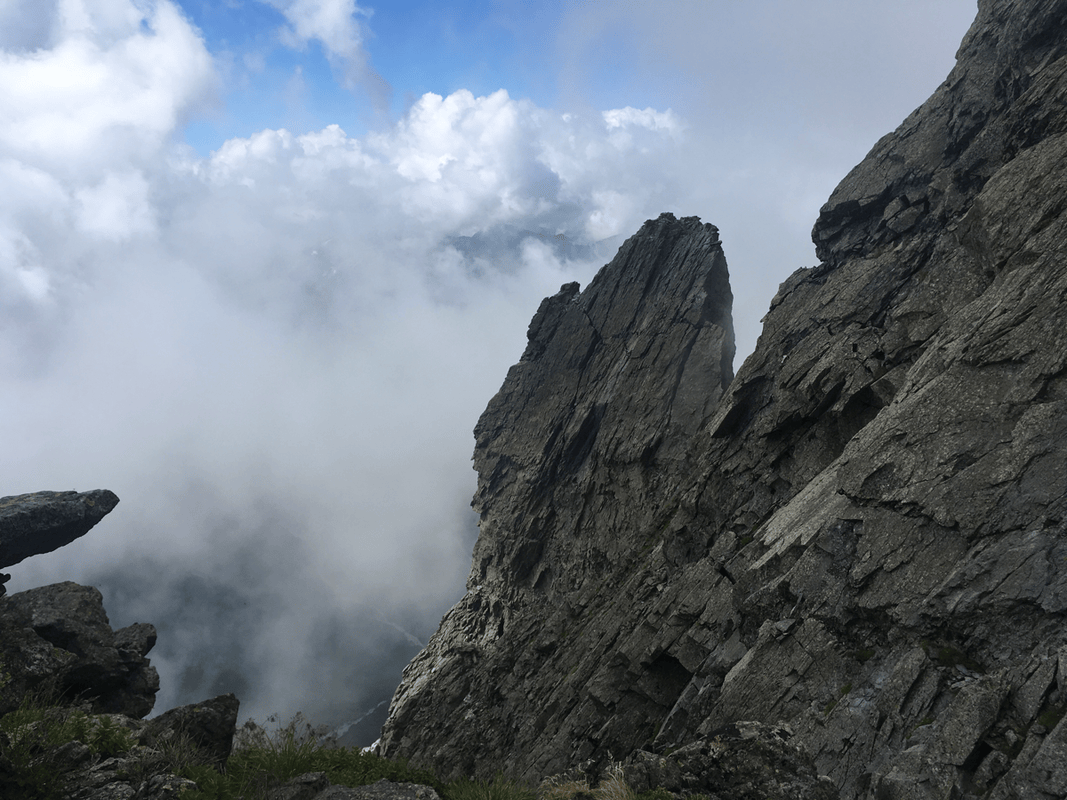
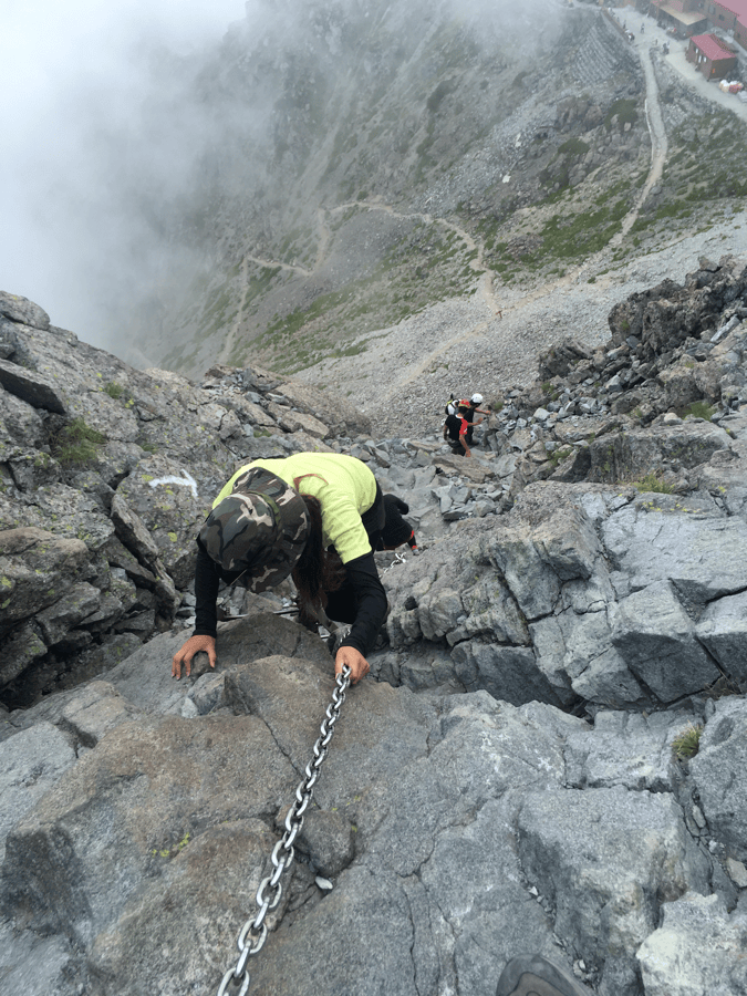
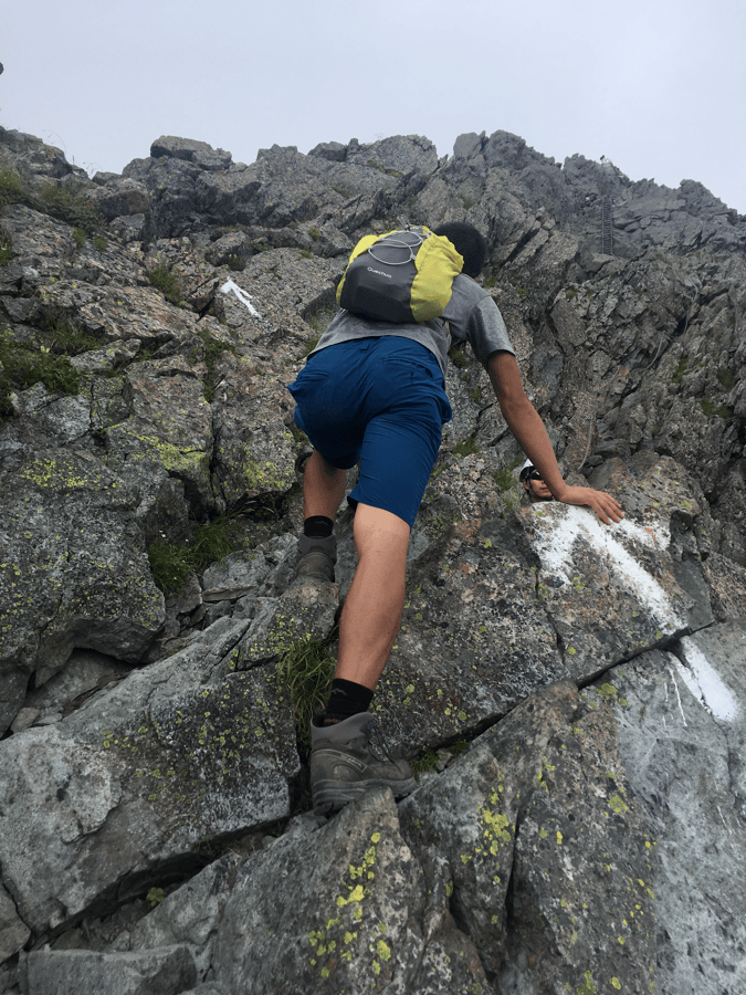
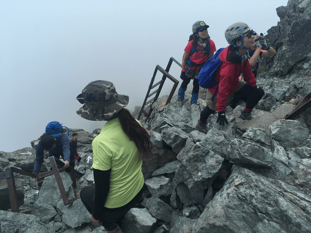
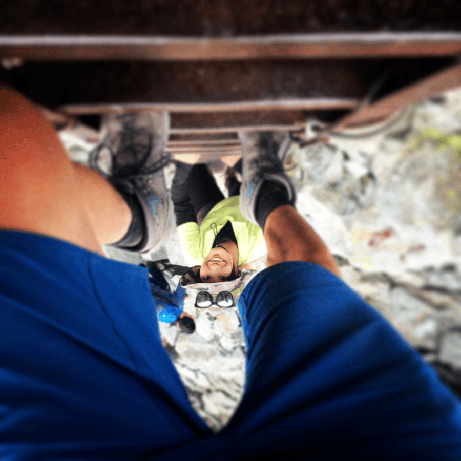
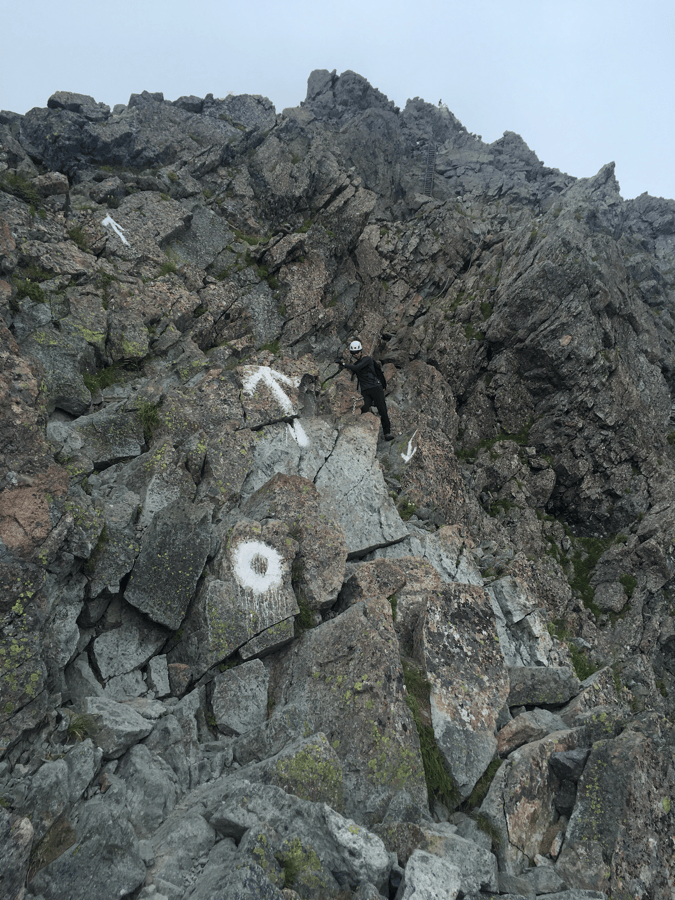
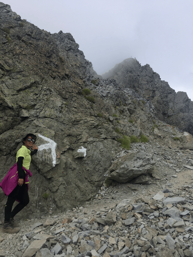
In clear weather, the summit offers views across the surrounding ranges. The original account mentions the possibility of seeing as far as Mount Kita, Japan’s second-highest peak, to the south.
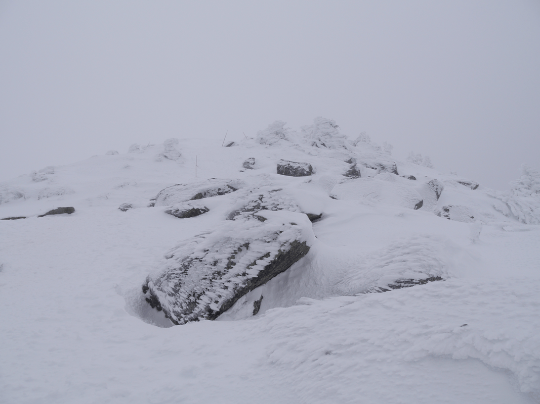
But it was already afternoon when we arrived, and cloud had gathered. From the top, I saw a white wall.
We took photographs beside the summit shrine, then descended to camp to make dinner.
A Dinner Best Not Repeated
Here I made a culinary mistake: combining mapo-style glass noodles with somen.
The somen absorbed all the liquid and turned the meal into a salty, unpleasant paste. I had cooked plenty of disappointing food while traveling, but this deserved a place in the top three.
It was not only unpleasant. The salt and spice left me desperately thirsty.
There was no nearby natural water source at Sessho Hut, so I bought what the hut called tensui, collected rainwater.
I understood it should normally be boiled before drinking. In my thirst, I ignored that and drank it directly. It felt like a gift from the sky, but skipping treatment was not a decision readers should copy.
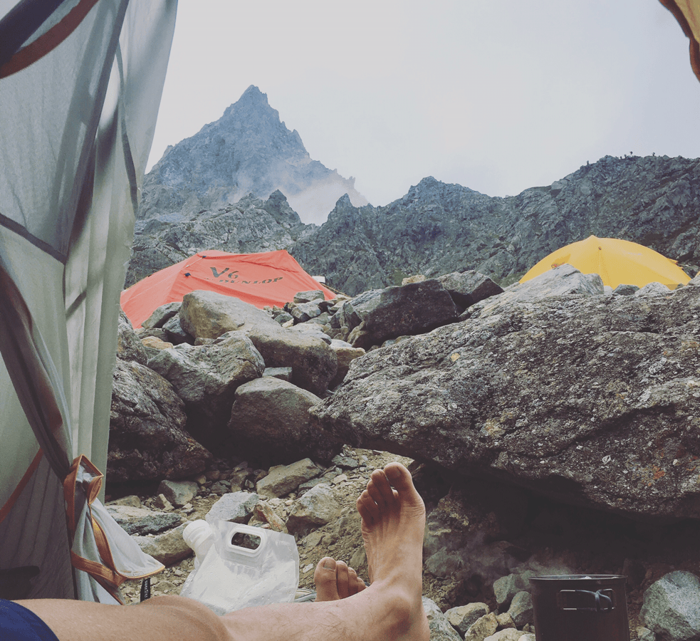
Coffee beneath a Clear Morning Sky
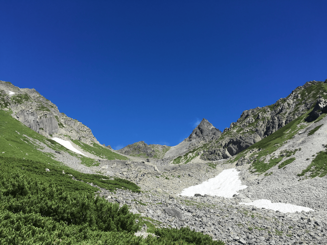
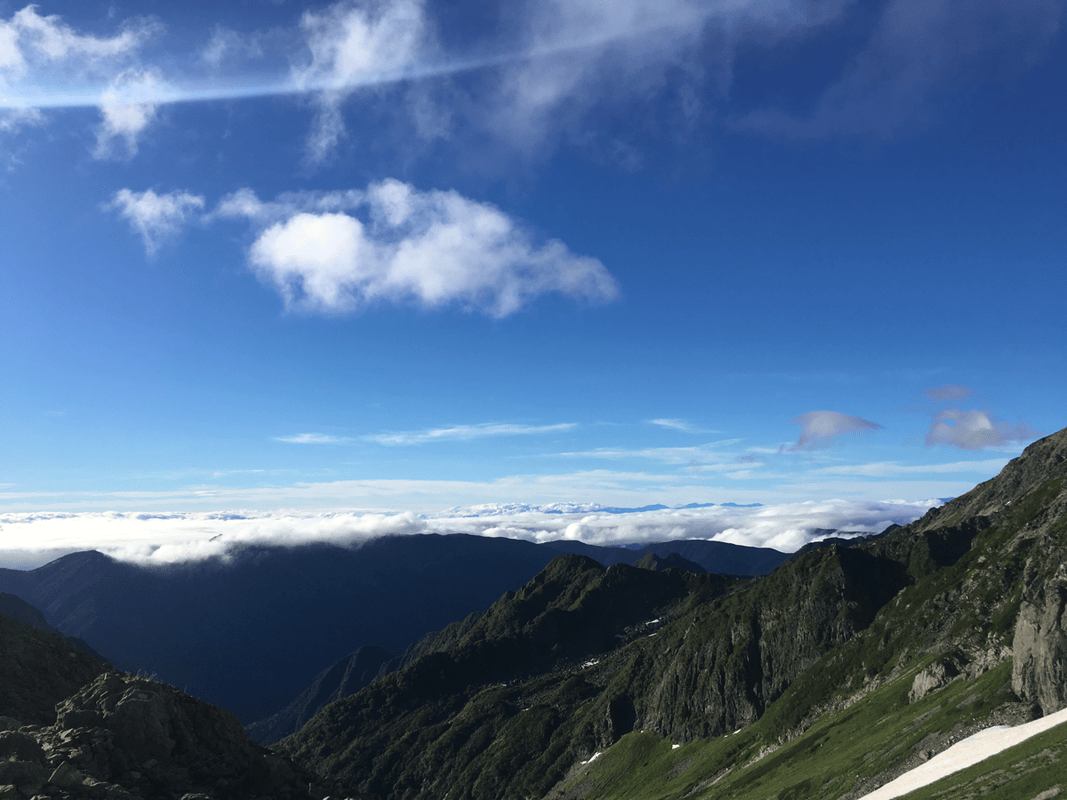
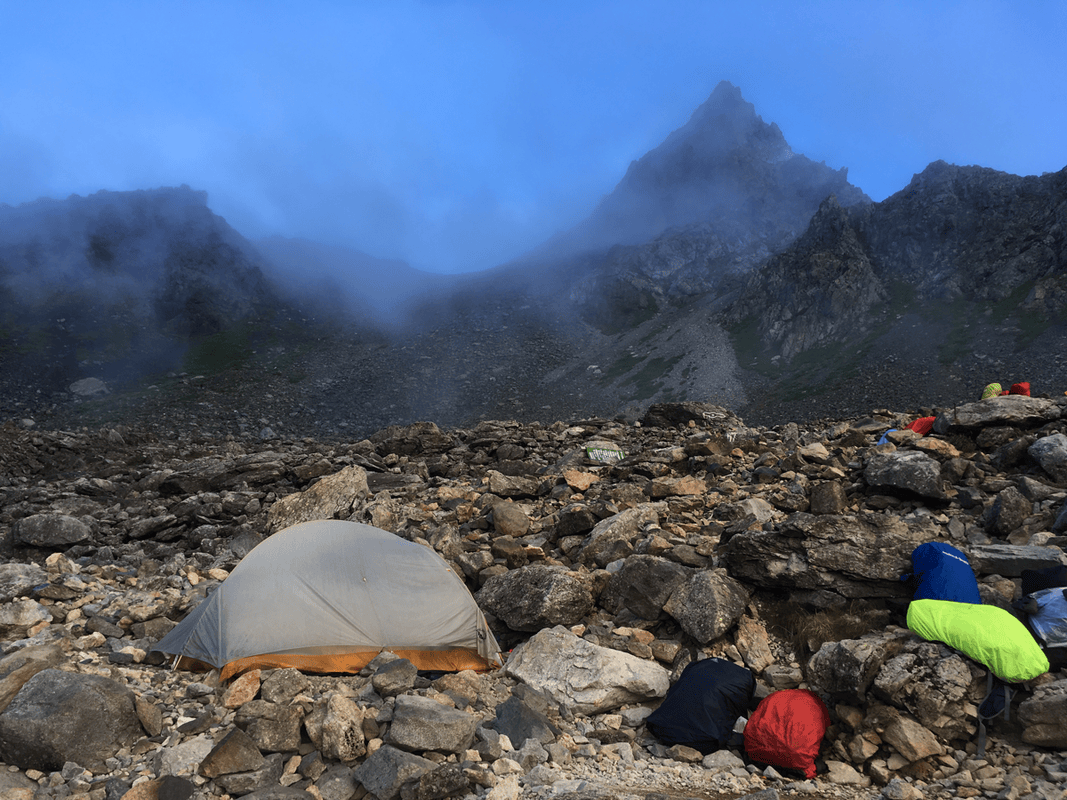
At dawn, Yari stood sharply against blue sky. Going up now would probably have brought the mountain views we missed.
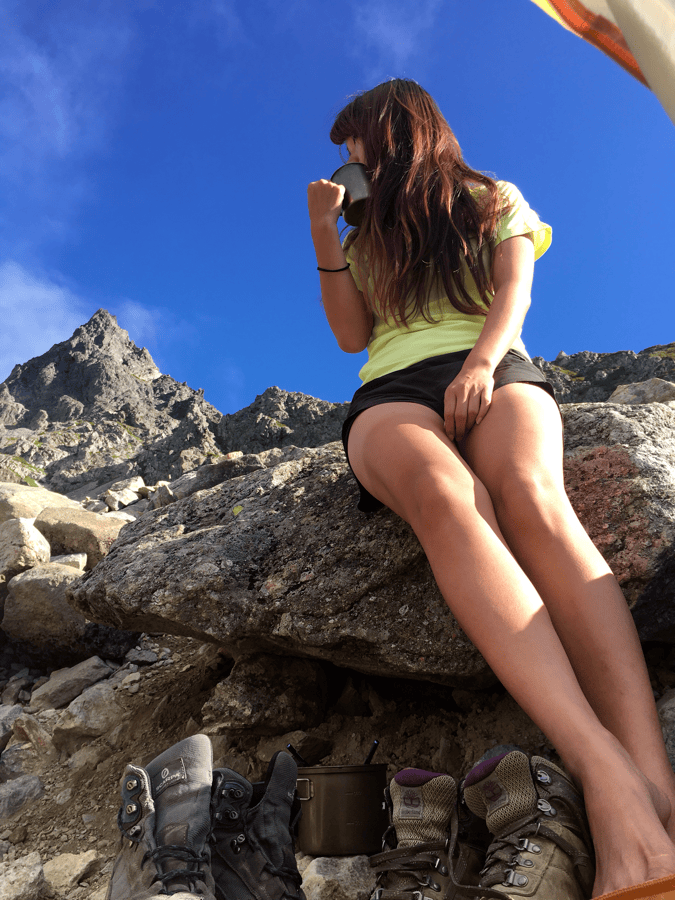
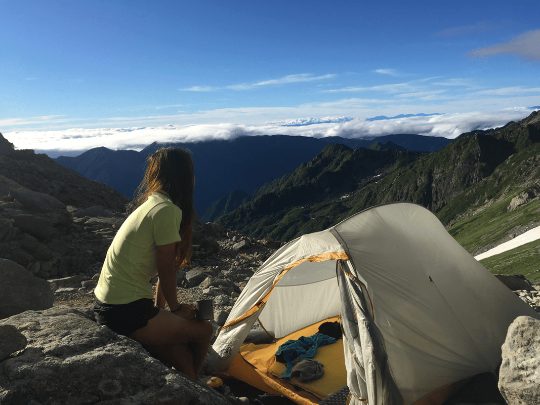
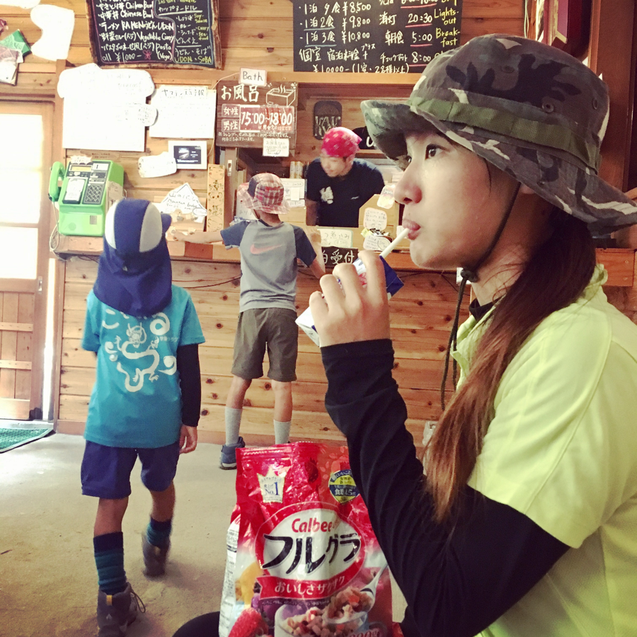
But I wanted something else: a slow cup of coffee in front of the tent, with fruit muesli for breakfast.
The view in front of me was already beautiful. Why hurry somewhere else?
The Long Walk Back to Kamikochi
After a leisurely breakfast, we began descending.
The route from Kamikochi to the summit was about 22 kilometers one way by the figures I used. We had already summited and returned to Sessho Hut, so part of the descent was behind us. What remained was downhill or gentle walking, and I expected an easy return.
Instead, the final visitor-path section became the most tiring part of the trip.
It was flat, but seemed endless. We even stopped beside the trail to remove our boots and massage our feet before dragging our tired legs back to the bus terminal.
What I Took Away
Personally, I did not find the route exceptionally hard overall, despite its roughly 44-kilometer return distance. Much of the walking had felt straightforward to me, although the high summit involved rocky climbing and the full journey was tiring.
Some hikers allowed three days and two nights. With an early start, I felt two days and one night had been enough for us. That was my retrospective judgment, not a universal itinerary: fitness, acclimatization, weather, crowding and conditions all matter.
What I most wished I had packed was a pair of light sandals or slippers for appropriate places to rest my feet. After that long final stretch in hiking boots, something airy would have felt wonderful.
For me, it would have made an already memorable journey a little more comfortable.
Bikepacking diary: Facebook · Instagram