
Wanrong Forest Road, Hualien | Bikepacking & Camping
English translation of Wanrong Forest Road, Hualien by Bikepacking diary (流浪者日誌), republished by arrangement with the author. Most photographs in the original account are credited to Richard. Images below are linked directly from the original website.
Editor’s note: This is a translation of a historical trip account, not a current access or safety advisory. Check road openings, entry restrictions, weather, water availability and camping rules before departure. Kilometer markers and the author’s recommendations are retained from the source. The narrative and summary differ on some locations, including the workers’ hut at 24/26 km and the last water source at 31/31.5 km. Treat these as approximate historical notes, not navigation instructions.
Setting Out on Wanrong Forest Road
It had been a long time since I last rode one of Taiwan’s forest roads. This time, we headed to Wanrong Forest Road in Hualien. Once a logging road, it now serves as a maintenance route for Taipower’s east-to-west electricity transmission infrastructure. Follow it far enough into the mountains and you can reach Qicai Lake. On the other side lies Danda Forest Road, a route I have wanted to ride for years. I never expected to ride its eastern approach first.
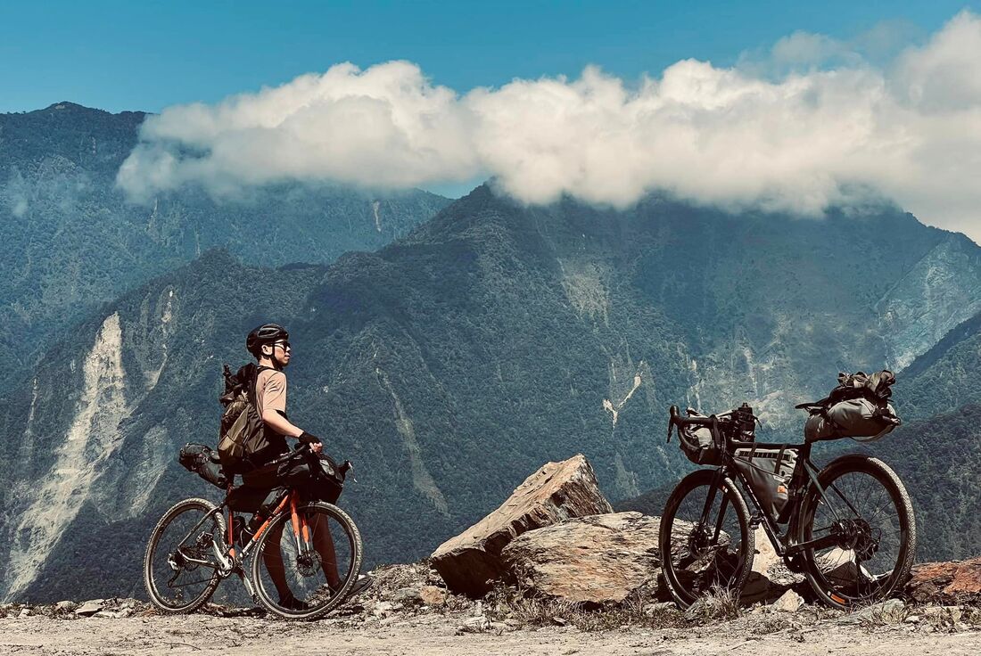
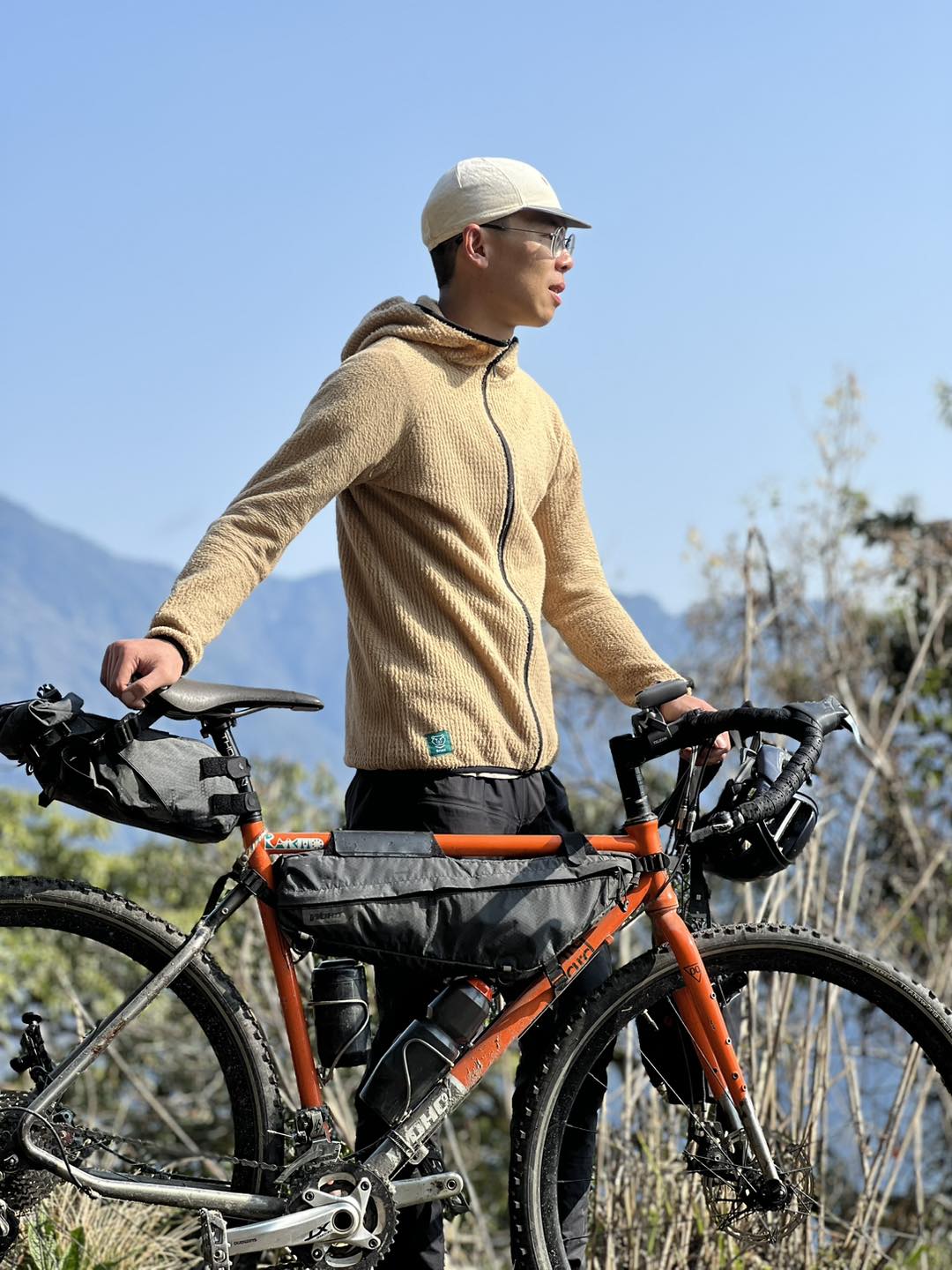
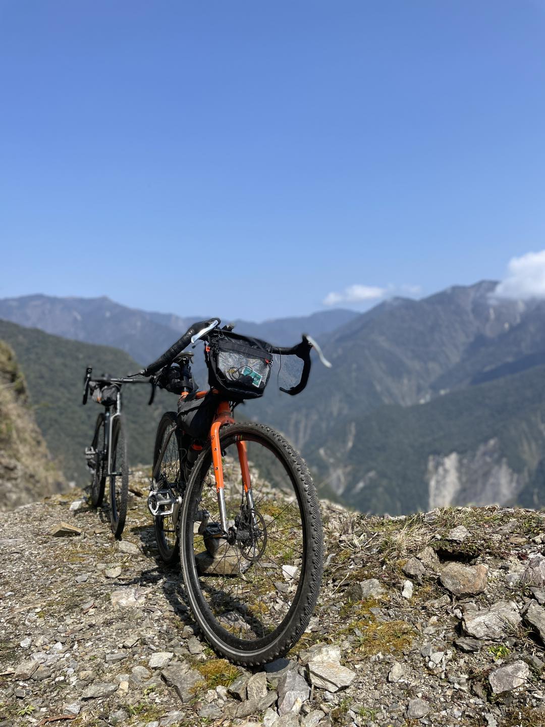
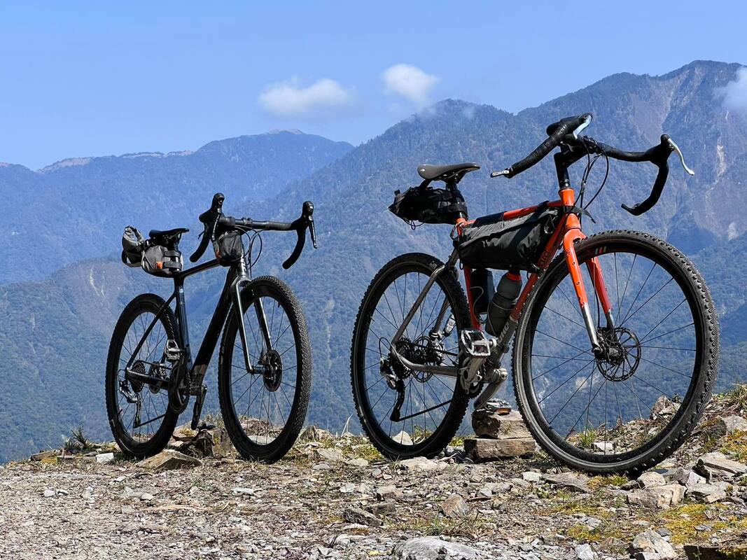
Joining me was Richard, a talented photographer who took many of the photographs accompanying this account. We had known each other online for a long time and had shared meals, but never a bike ride. As fellow owners of the relatively uncommon Giant TCX in Taiwan, I had always wanted to ride with him. After assessing this route, however, I chose my WOHO steel gravel bike instead.
Our other companion was a familiar face in mountain-bike groups, known as Big Python, or Brother Snake. Until then, I had only admired his photographs on Facebook; we had never spoken. Meeting this experienced forest-road rider for the first time and having him guide us was a real pleasure.
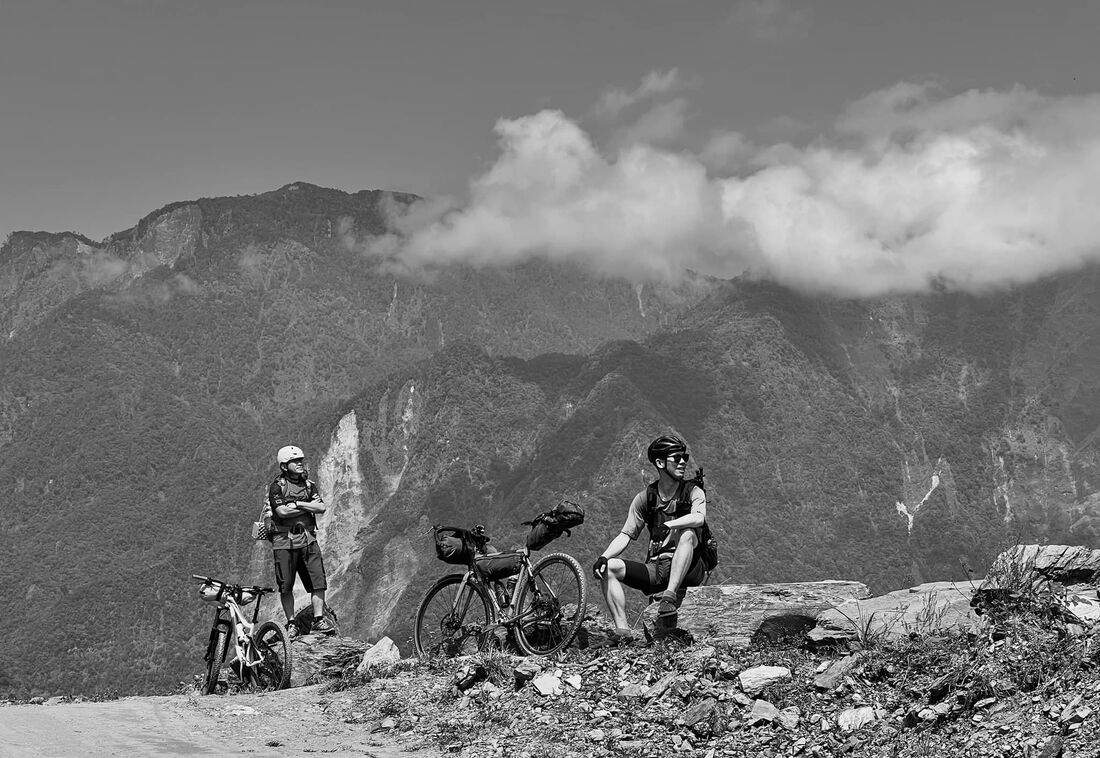
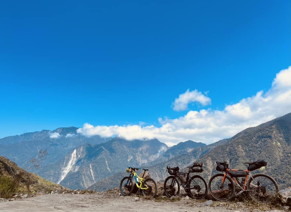
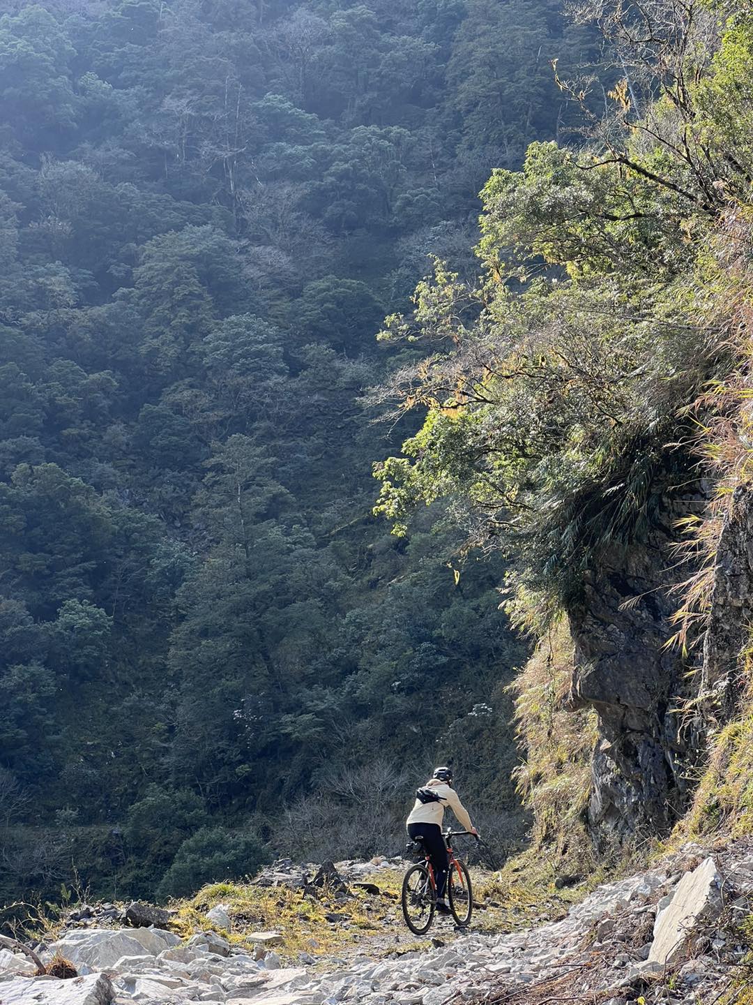
The first six kilometers of Wanrong Forest Road are incredibly steep. We drove past that section and started riding at Bihetan, at the 6 km marker. From the moment we assembled our bikes and set off, the road astonished me. Huge mountains and a deep valley opened on the right, with turquoise water winding below. Against blue skies and white clouds, the landscape almost brought me to tears. It was not just beautiful. It stirred a feeling I had missed for so long, the unmistakable feeling of the mountains and forests of my home, Taiwan.
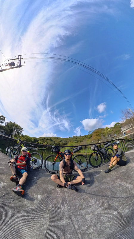
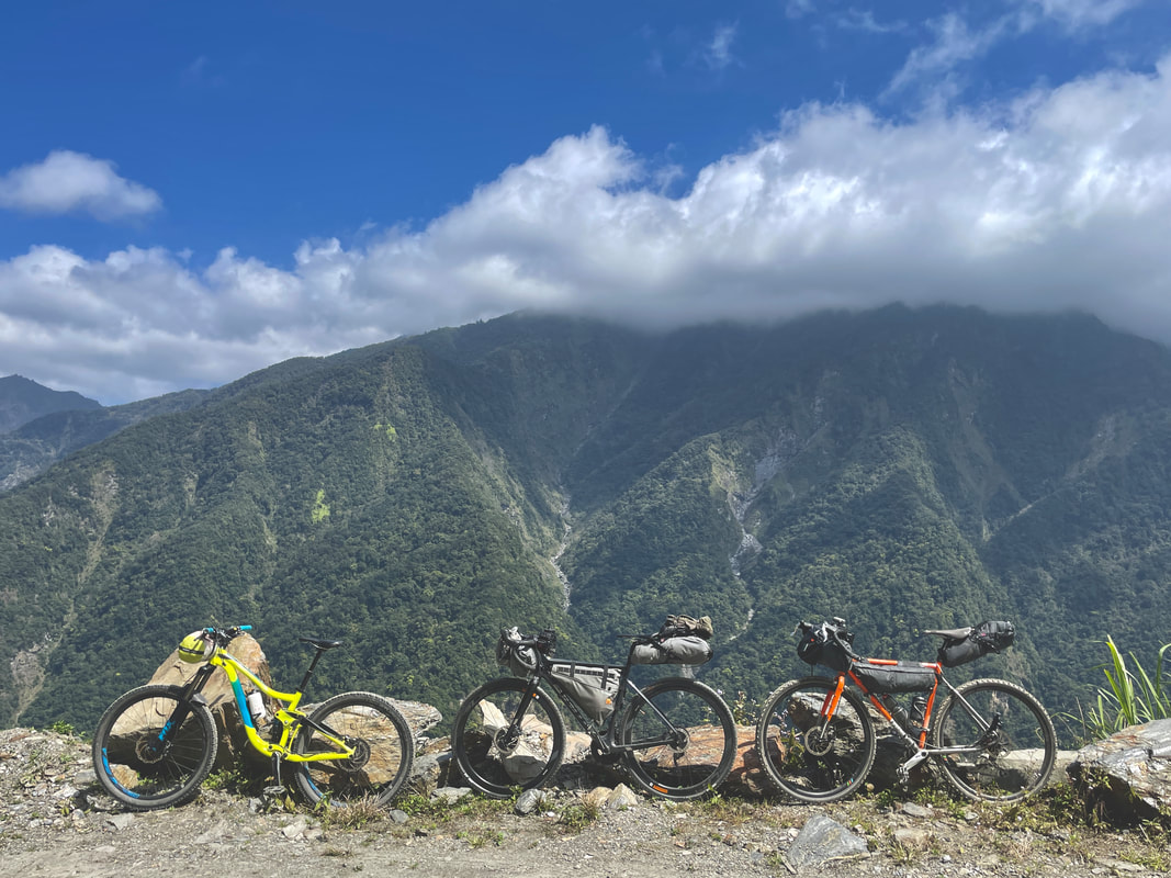
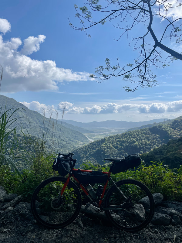
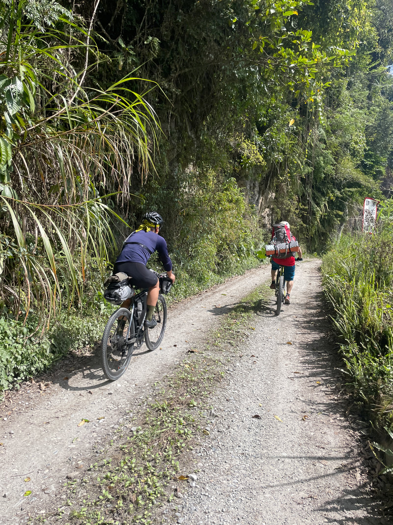
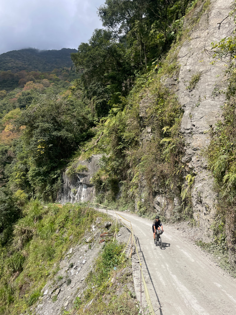
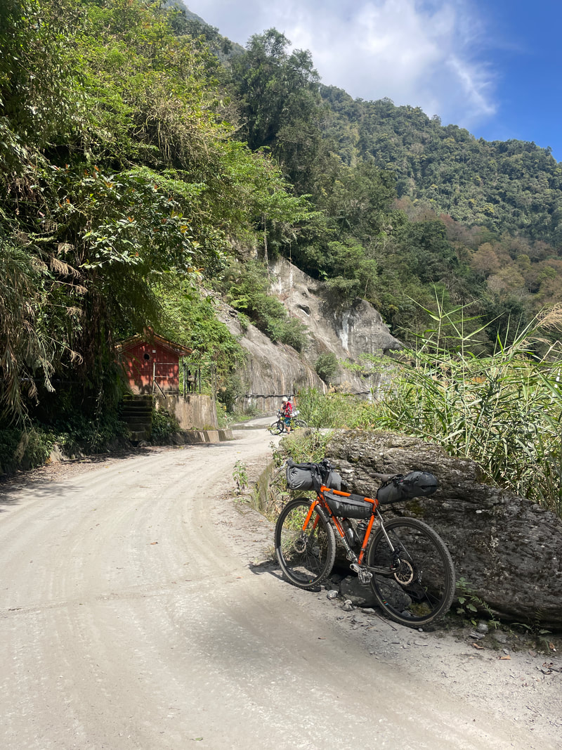
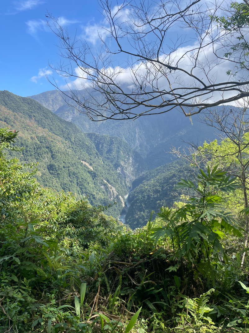
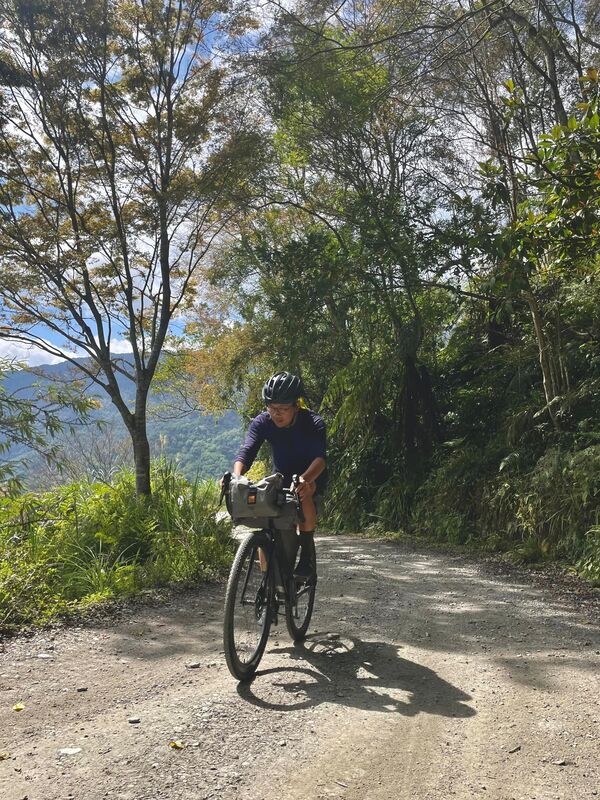
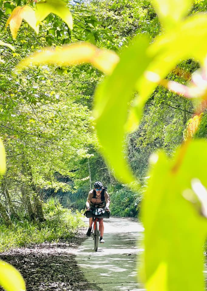
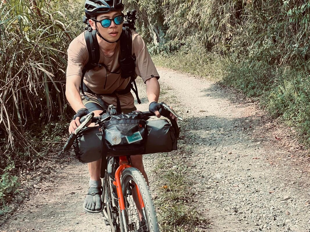
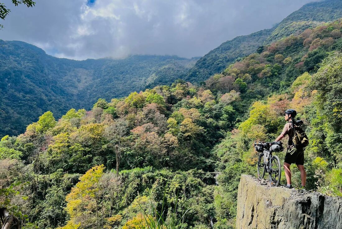
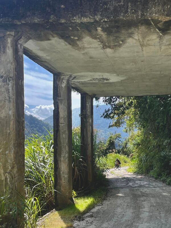
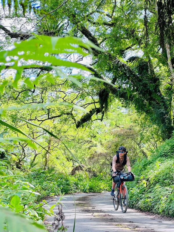
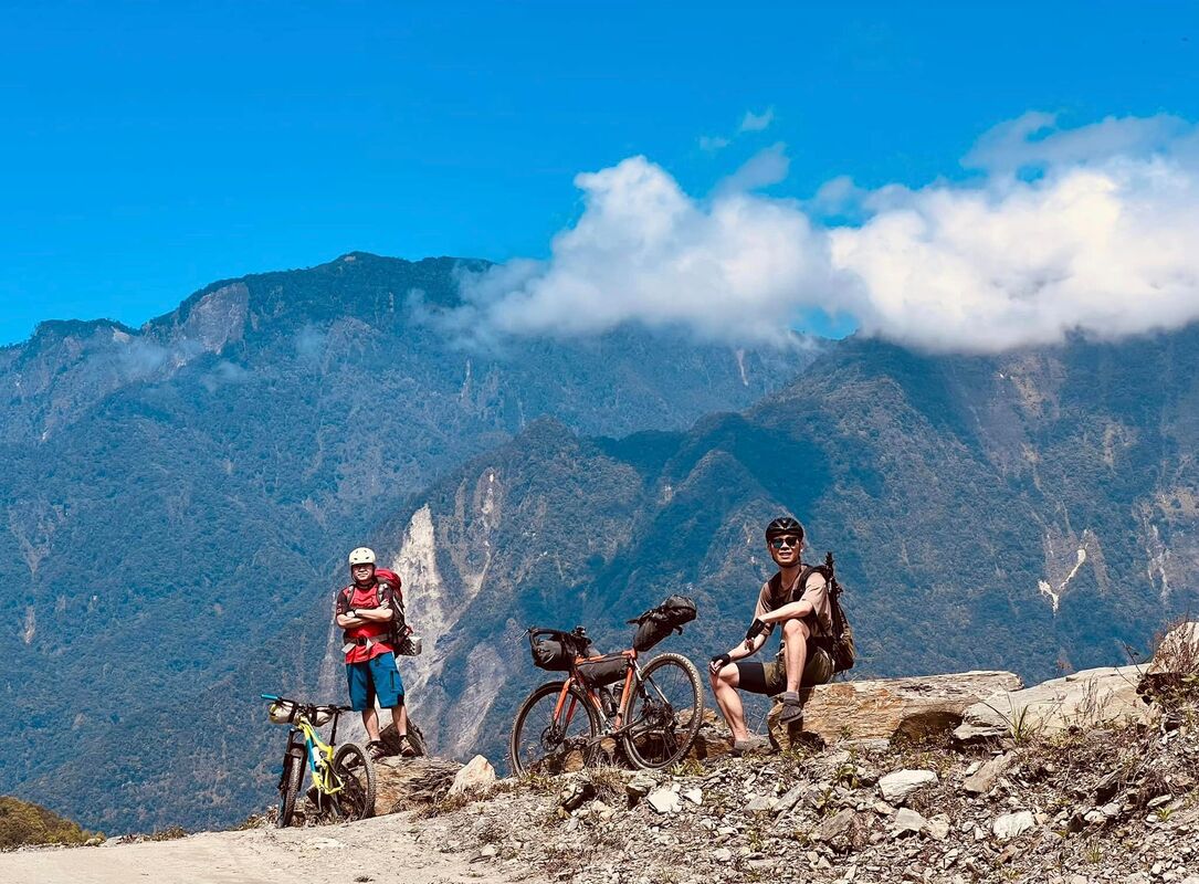
Thanks to the opening of mountain access, passing the checkpoint was straightforward. The guard dog summoned its owner, and we were soon on our way. The road was mainly gravel. Conditions were better in the early section, with occasional larger rocks and relatively little climbing. Even where it climbed, the ascents were short and comfortably within my abilities. That said, I am an experienced rider. This route demands fitness and confidence handling a bicycle on gravel; I would not recommend it to beginners.
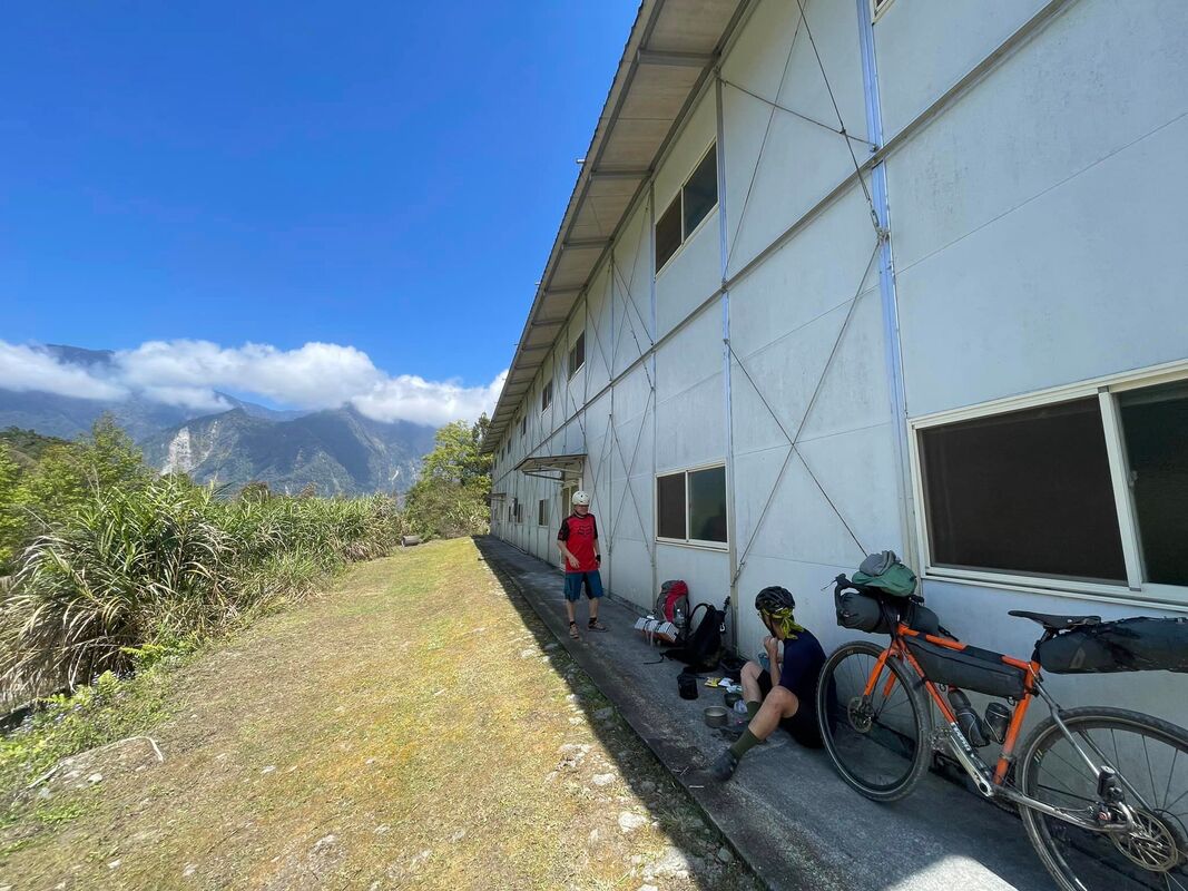
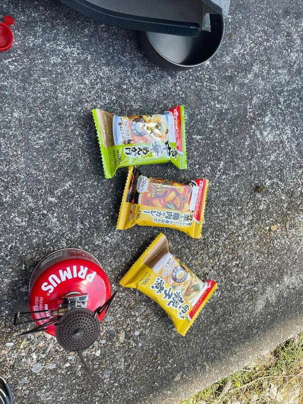
We rode through beautiful scenery, punctuated by my exclamations of wonder, and the occasional swear word. Almost without noticing, we reached the workers’ hut at 21 km. There was water, and it was noon: perfect timing for lunch.
Water, Rougher Gravel and a Campsite
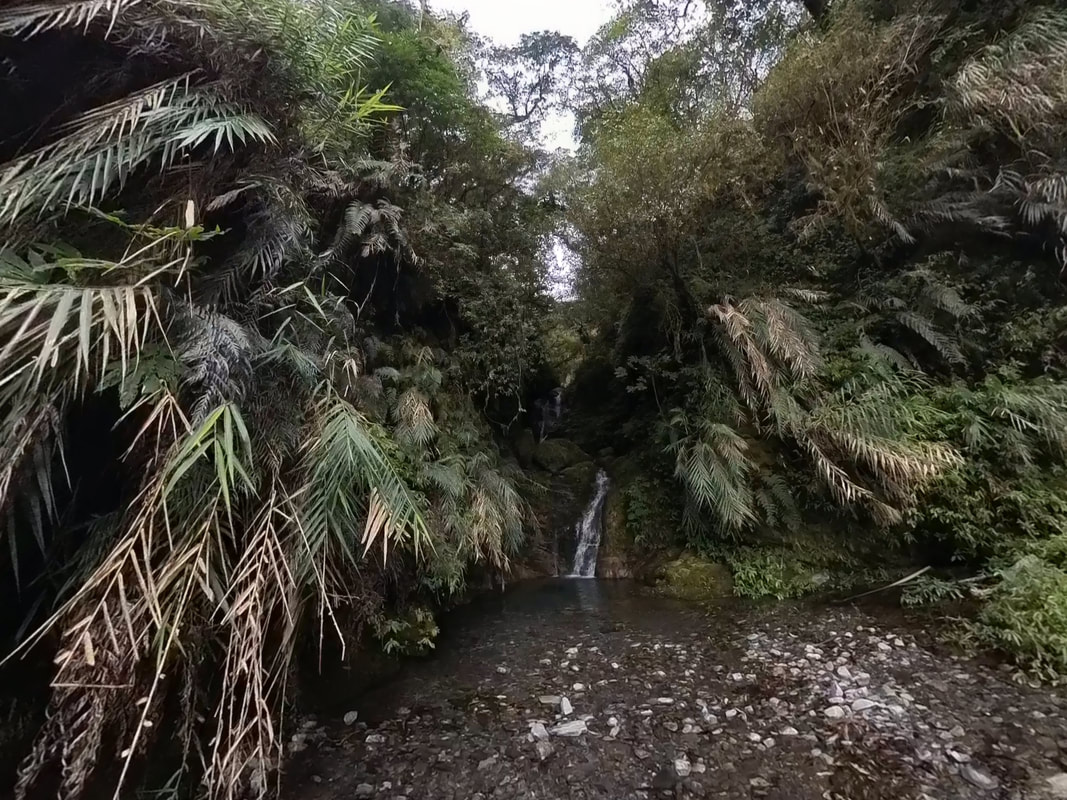
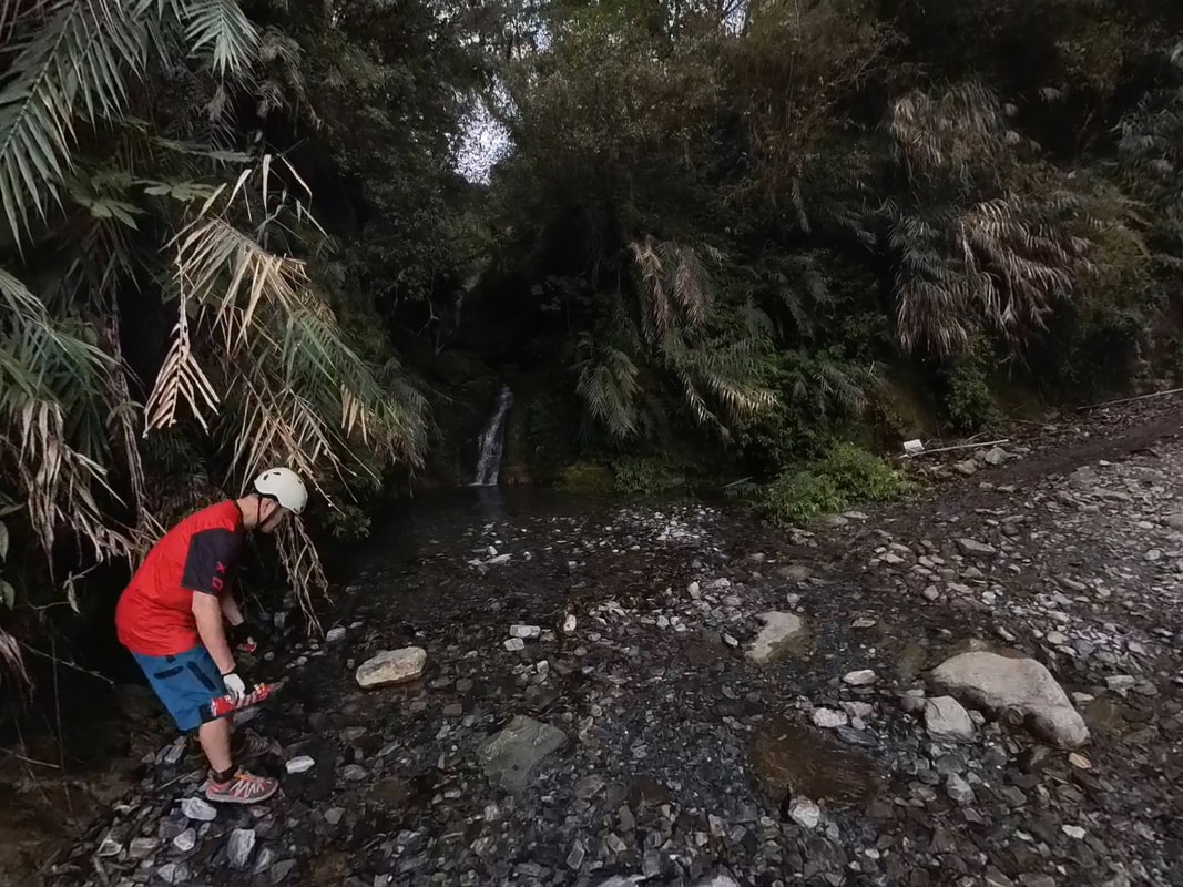
After lunch, we continued. There were numerous water sources along the road, appearing as waterfalls, pipes, streams and pools. On that trip, we did not need to carry especially large amounts before the final source at 31.5 km. Under the strong afternoon sun, splashing into the water and sending spray flying was irresistible.
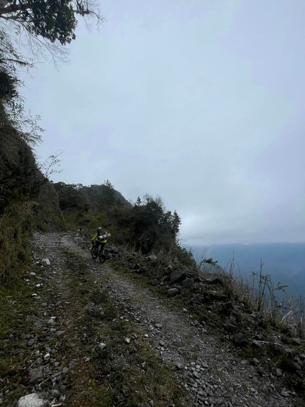
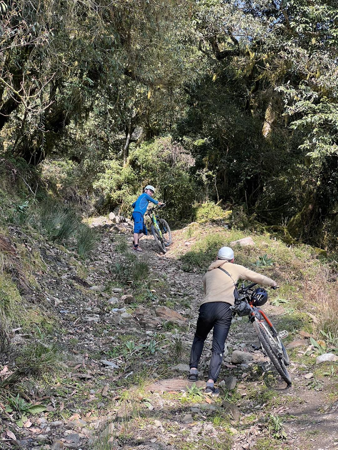
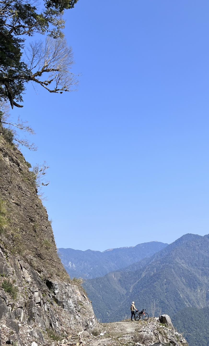
Riding, playing and taking photographs, we soon reached the hut at 26 km. Brother Snake had warned us that the rocks became larger beyond this point and the riding more difficult. I focused harder on the surface and chose my lines carefully. A few short sections had rocks too large to ride over, but more than 90 percent remained rideable for me. The second half was definitely more challenging. Once again, anyone attempting it should have solid off-road skills.
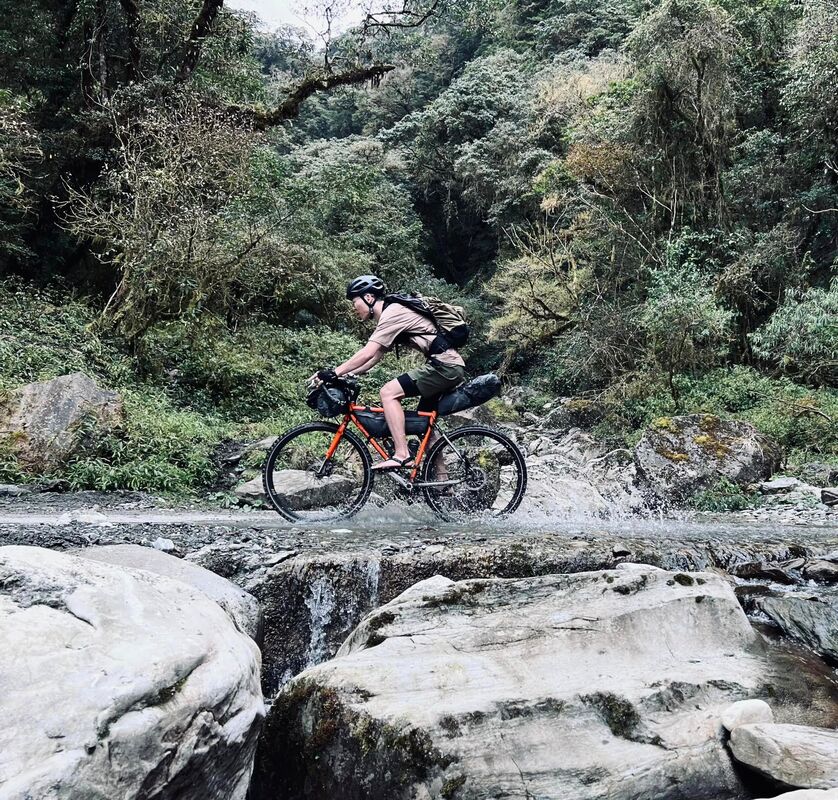
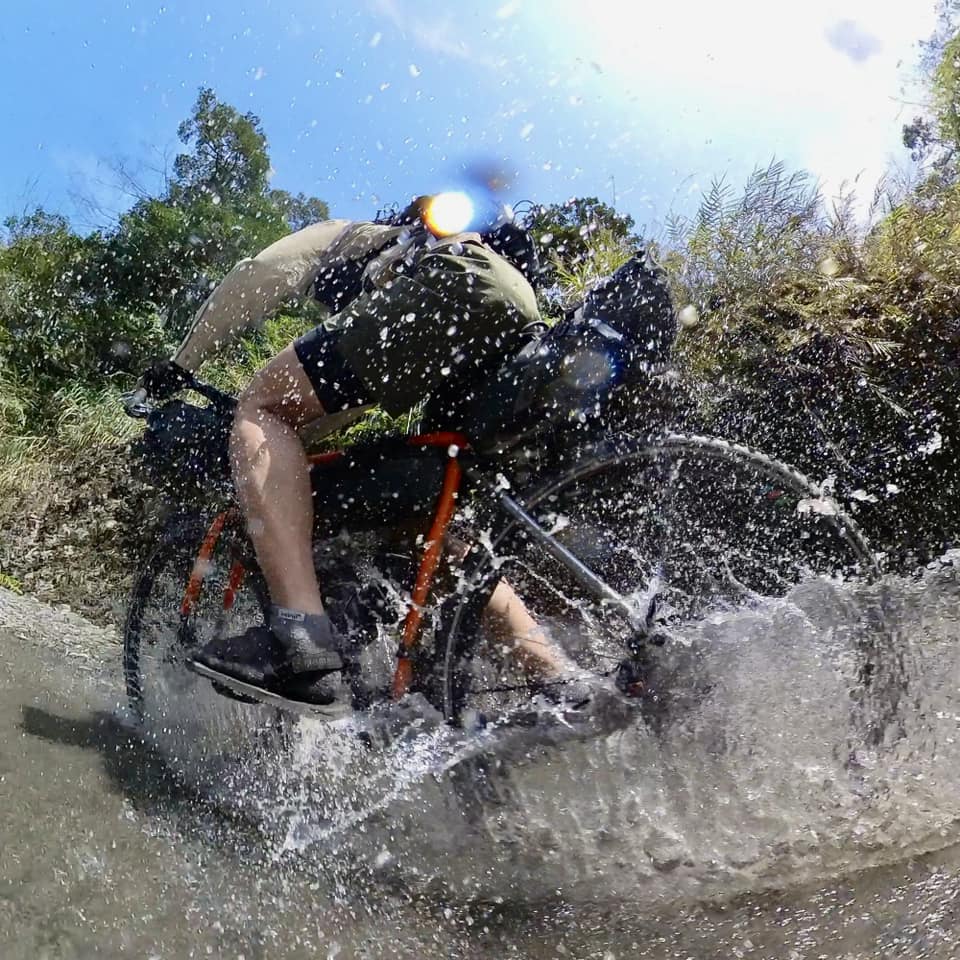
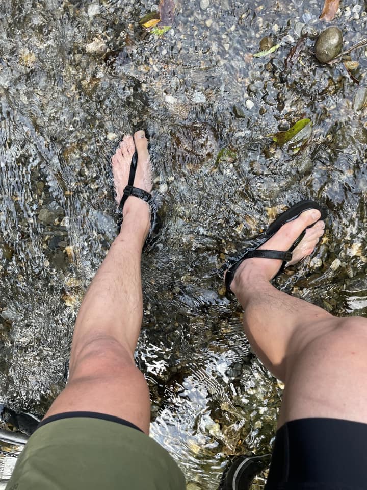
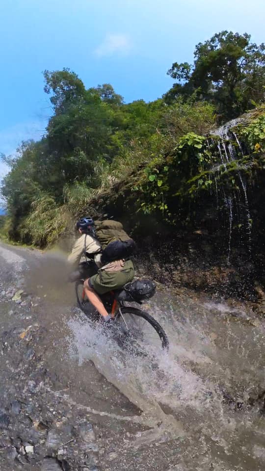
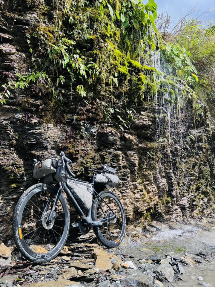
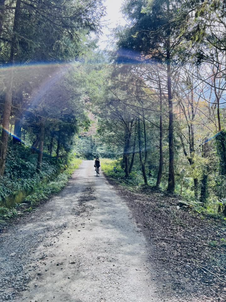
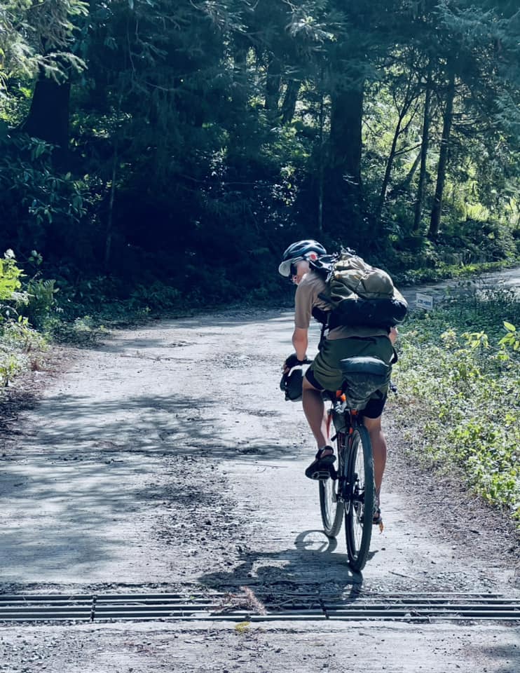
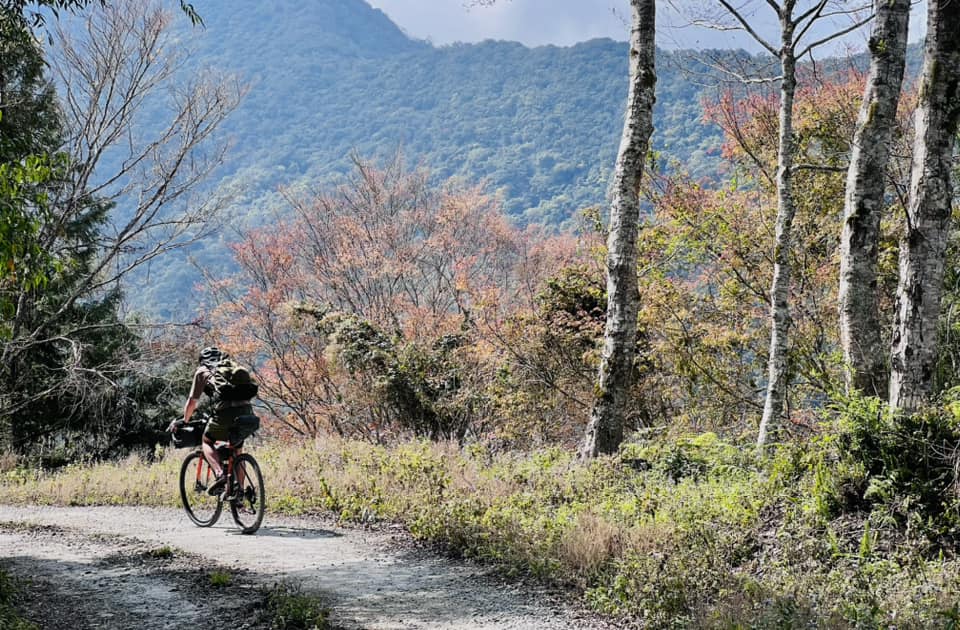
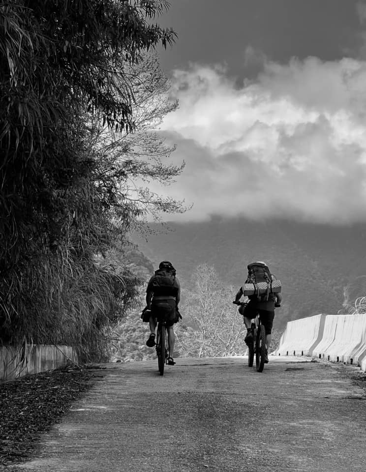
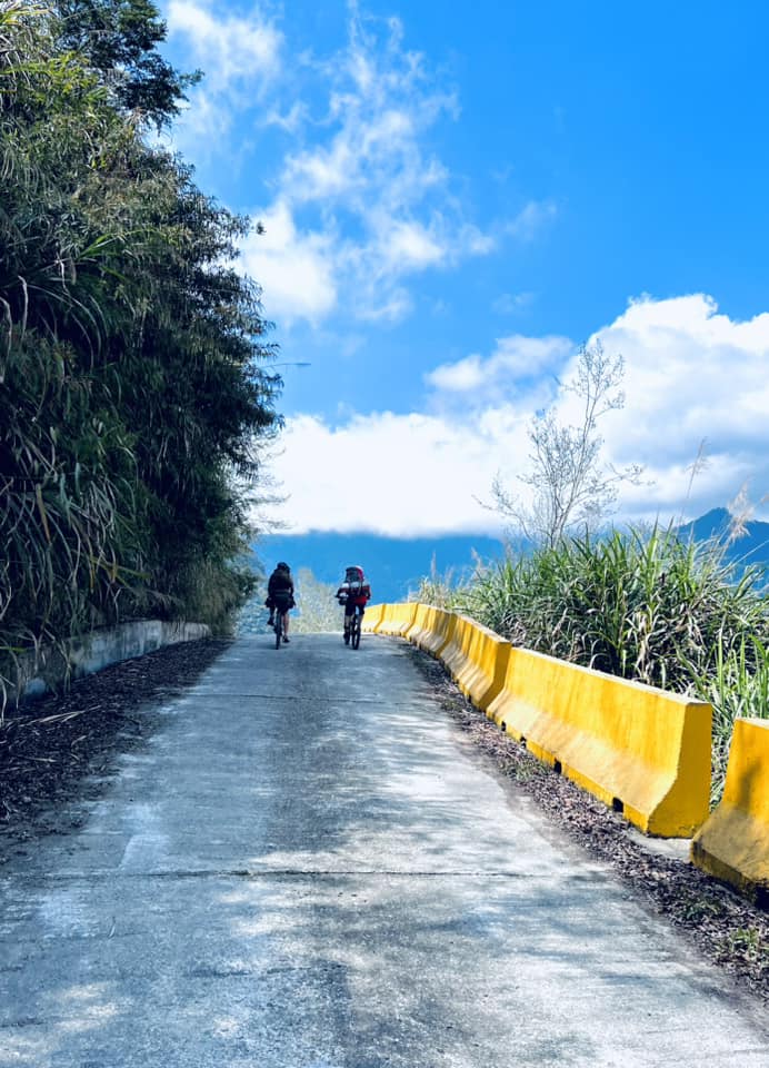
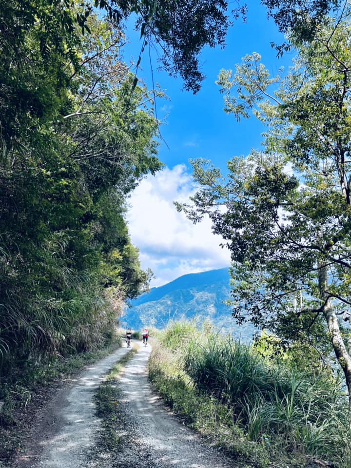
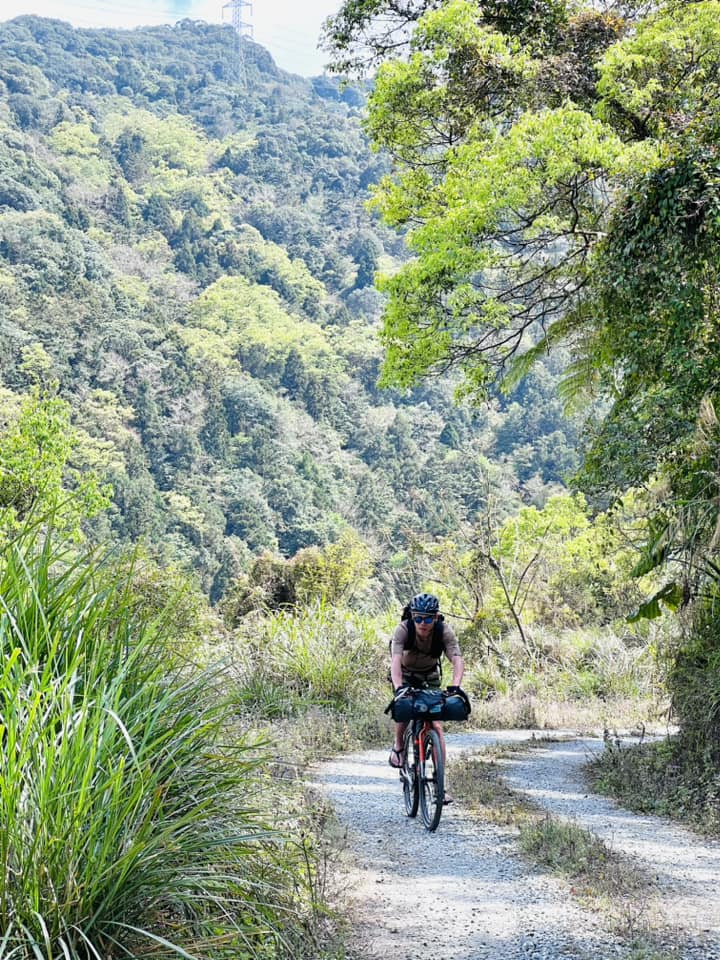
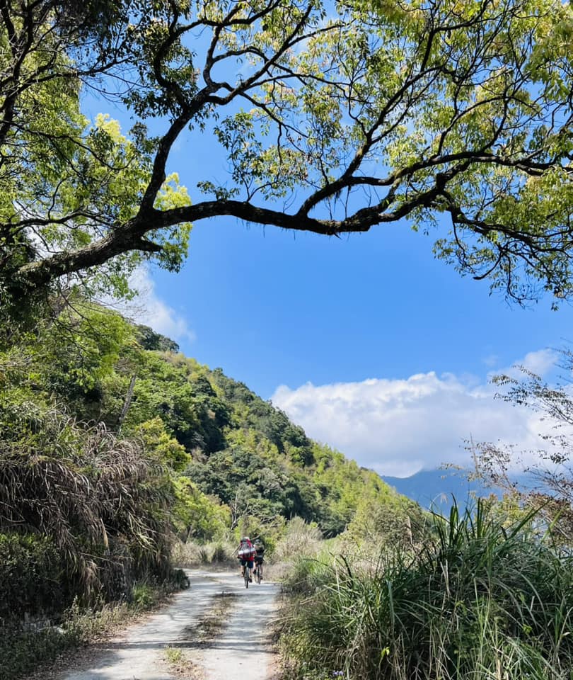
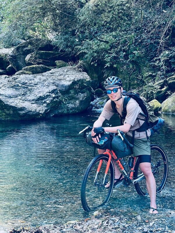
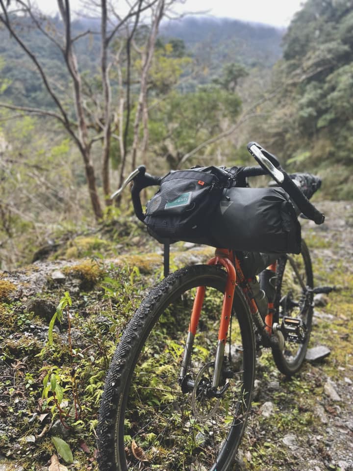
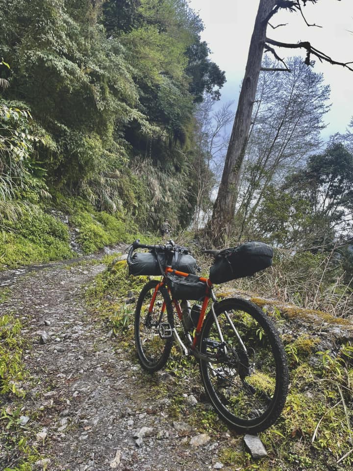
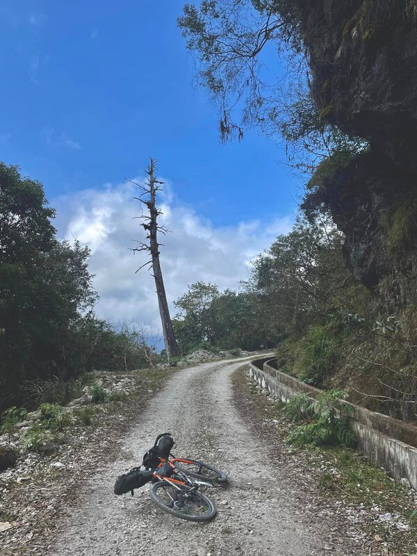
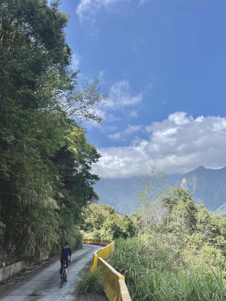
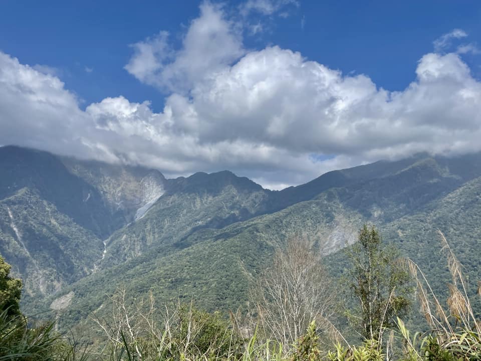
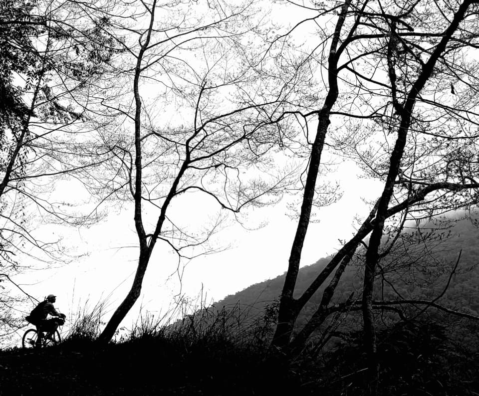
When I say we reached the hut “soon,” I mean emotionally, not in the strict physical sense of speed. We were happy, the riding felt light and time did not drag. In reality, everything from distant mountain panoramas to unusual rocks and dead trees beside the road kept tempting us to stop for photographs. We barely moved at times. Beyond the hut, concentrating on the terrain meant fewer photo stops, so our actual speed finally increased. This time, we really did reach the pool at 31.5 km quickly. It was our final water stop. We filled every bottle and bladder and began looking for somewhere to camp.
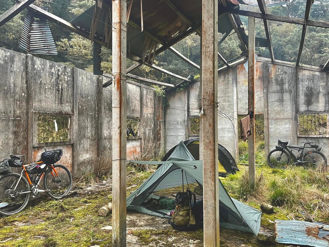
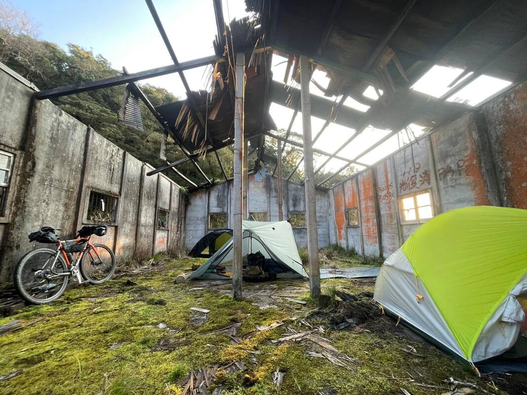
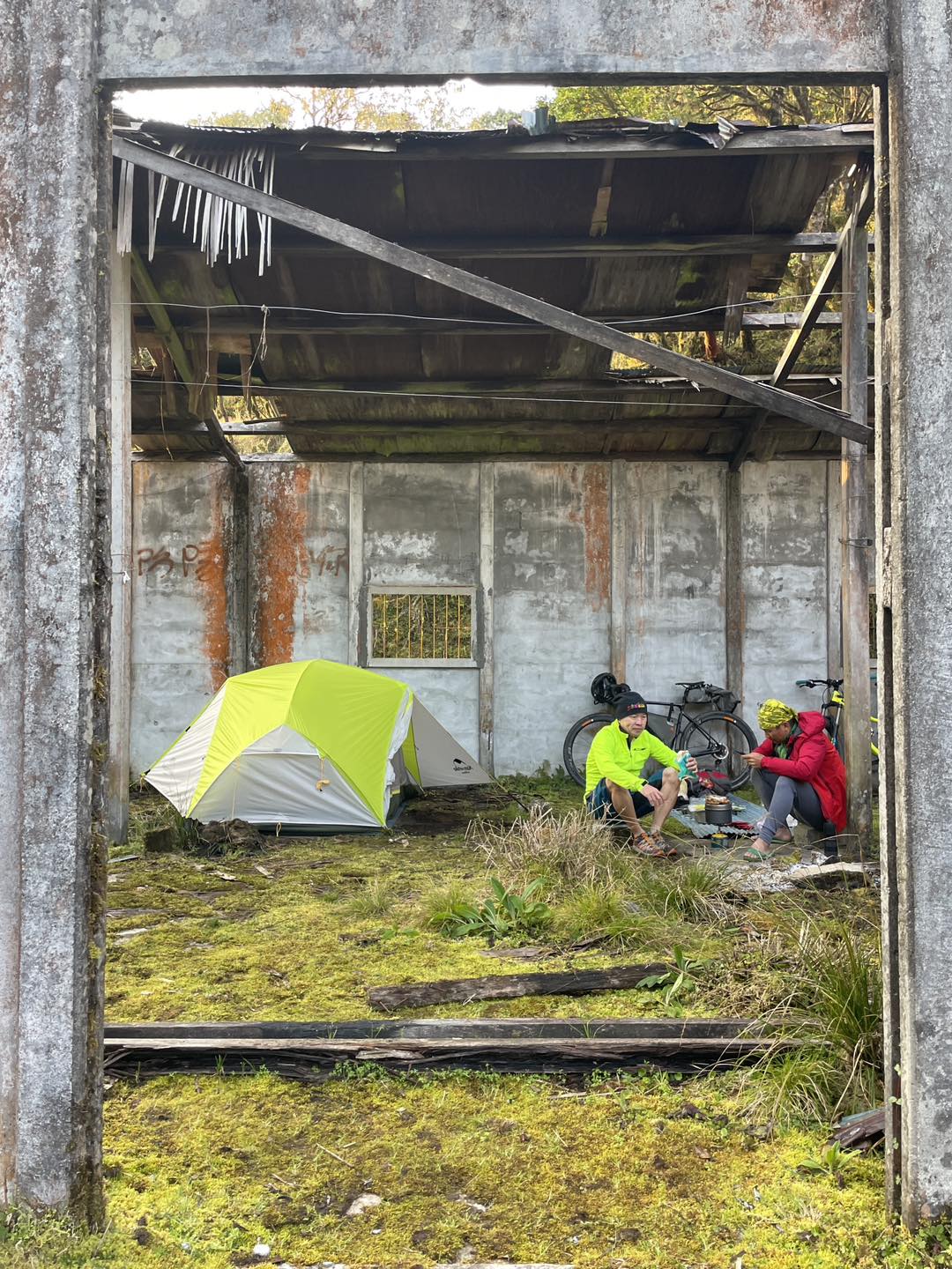
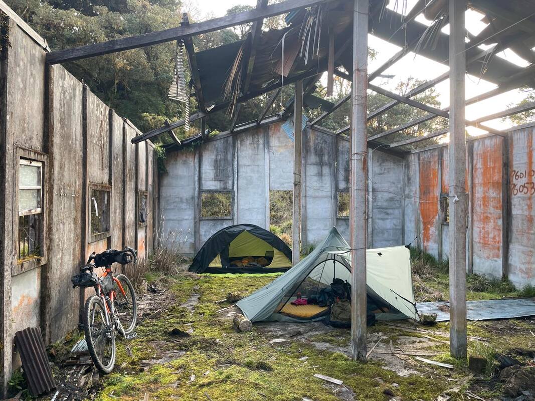
There were several suitable clearings beyond 31.5 km, but I wanted somewhere with a view or a little character. Eventually, we reached an abandoned workers’ hut at 34 km. It did not have a distant view from the building itself, but it had a distinctive, weathered atmosphere. A short walk revealed an open outlook, even toward the sea.
What is so good about seeing the sea? Apart from the view, there might also be mobile reception. This was what Richard called irresistible “5G terrain.” Could there be a better landscape?
It was windy at our campsite, so we pitched our tents inside the abandoned hut. Its broken walls used what strength remained to shelter us from the elements.
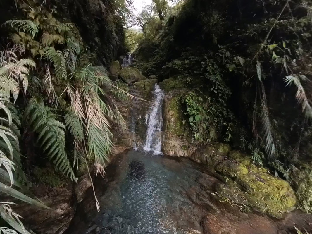
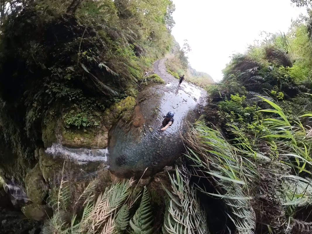
A Remarkable Dinner in the Mountains
After a day of effort, we wanted the best possible food as our reward. For a meal in Taiwan’s mountains, my first thought was Chef Azhe from Shanlinliang. Before leaving, we asked him to prepare our dinner. I did not ask questions because I knew it would be excellent.
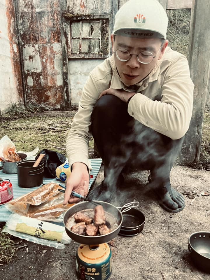
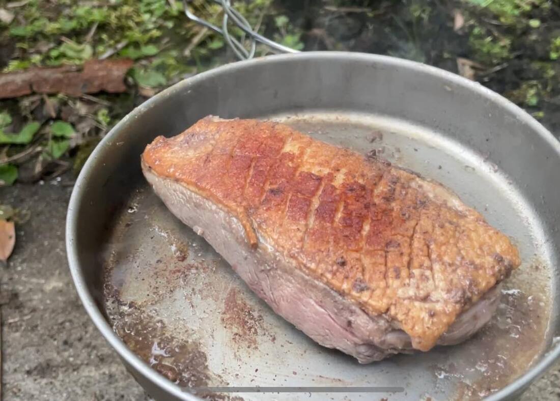
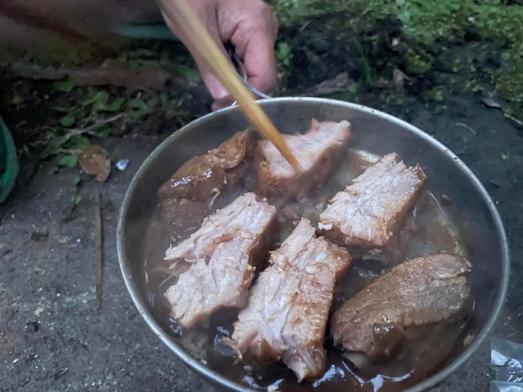
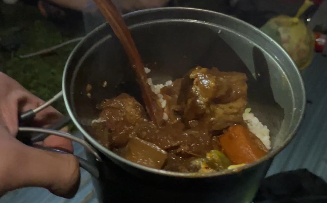
Shanlinliang specializes in lightweight outdoor meals, but perhaps Azhe knew that weight mattered less on a single-night trip. Apart from dried rice and noodles, he had packed a feast: duck breast, pork ribs and braised beef brisket. Opening the bag, I worried that my cooking would ruin these fine ingredients. But we were already there, and Azhe was not beside us, so we had to do our best.
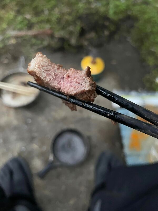
We put the food in the pan with very little finesse. Somehow, despite our clumsy efforts, wonderful aromas filled the air. When I cut into the meat to check whether it was cooked, the knife passed through surprisingly easily. At first, I thought the blade must be extraordinarily sharp. Then I tasted the duck and realized it was not just the knife: the meat was unbelievably tender. Each bite released rich juices and flavor that seemed to reach every corner of my mouth.
The ribs were equally tender, separating cleanly from the bone without leaving our hands greasy in the mountains. The beef portion contained plenty of large pieces of tendon. Despite their size, they were soft and pleasantly springy rather than tough. My immediate thought was that Azhe could open a beef noodle shop almost anywhere and make a fortune. I could not think of a shop whose beef I liked more.
I ate more meat, and better meat, than I usually would at home. Yet not a single strand became trapped between my teeth, which says something about its tenderness. Richard suggested it had probably been prepared sous vide. I already knew Azhe could cook, but had not realized he could prepare ingredients so well that even our haphazard efforts would produce a meal like this.
Well fed and content, we returned to our tents. With body, mind and stomach thoroughly looked after, I fell asleep almost instantly, looking forward to the morning.
Day Two: Morning Light
Cold morning air and a warm sleeping bag make an excellent argument for staying put. Through the hut’s partly open roof, I saw a blanket of white mist and buried my head again. Sleeping through the morning did not sound like a bad plan.
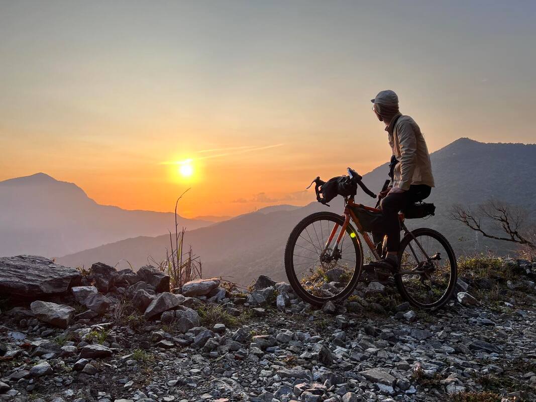
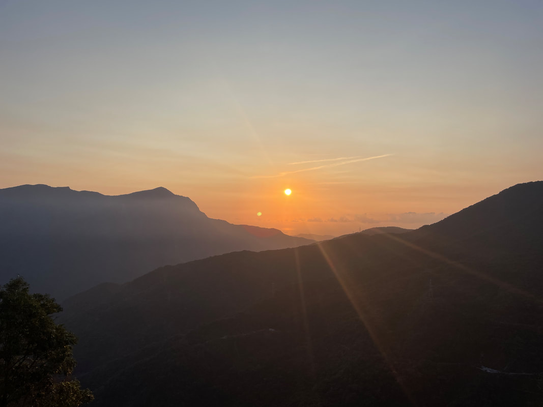
Then I heard my companions discussing a return to yesterday’s “4G terrain” to see the sunrise. We had come this far, and it was close, so I decided to join them. Stepping outside, I unexpectedly found blue skies and hurried onto my bike.
The sun had already risen above the sea, so we missed the exact moment of sunrise. But orange-red light spread across the ocean and land, gradually waking the world. We stood spellbound, pressing our shutters again and again. Despite the mobile reception, we forgot Instagram and messages entirely. Only when the sun climbed higher and the light grew dazzling did we reluctantly leave.
The Final Climb
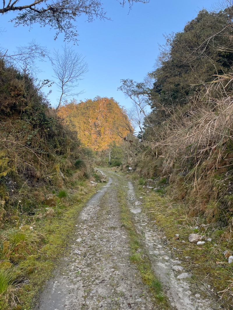
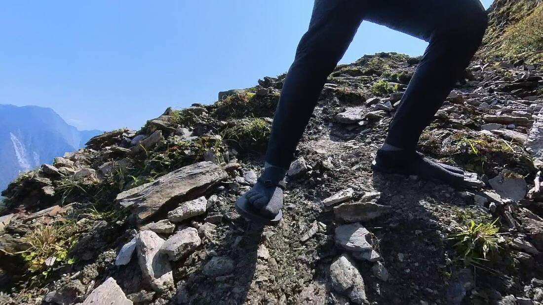
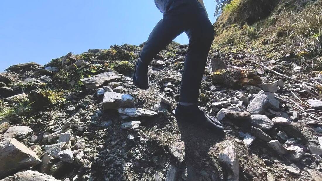
Leaving the viewpoint did not mean heading down. We still had one final stretch to ride and one final landscape to see. Most of the remaining road was rideable; only the last steep slope required pushing. I would suggest shouldering the bike there, both because it was easier and because it added a little heroic flair. People often ask whether bikepacking involves carrying the bike. Sometimes it does, sometimes it does not. We do not fear it. When carrying is what the route demands, up it goes.
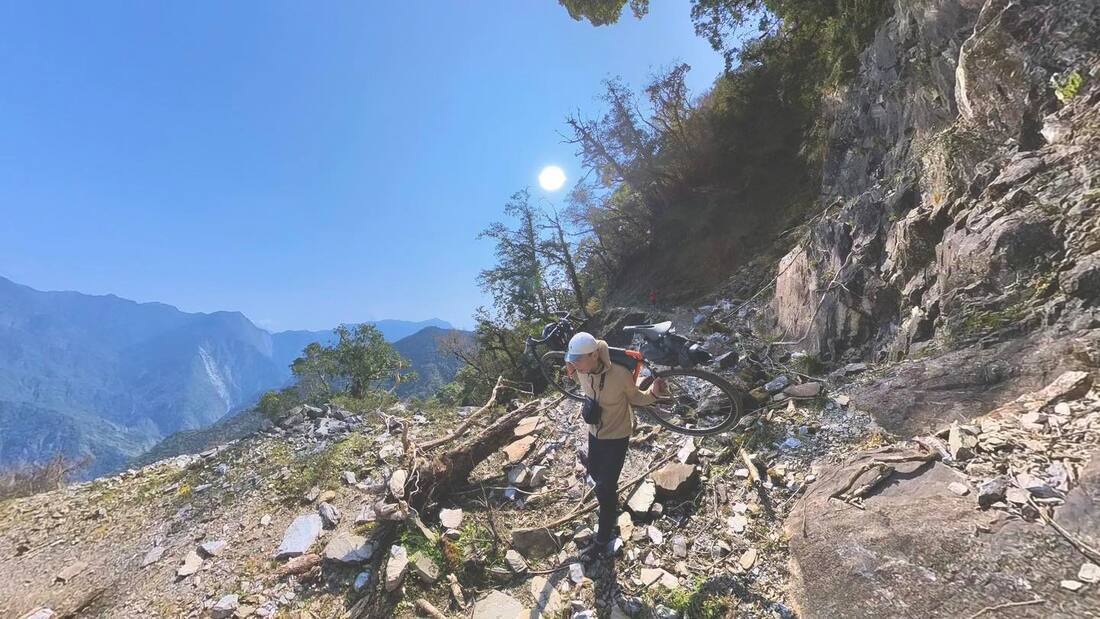
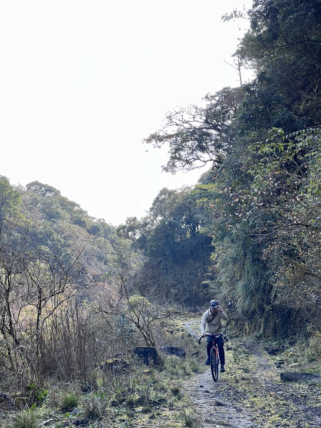
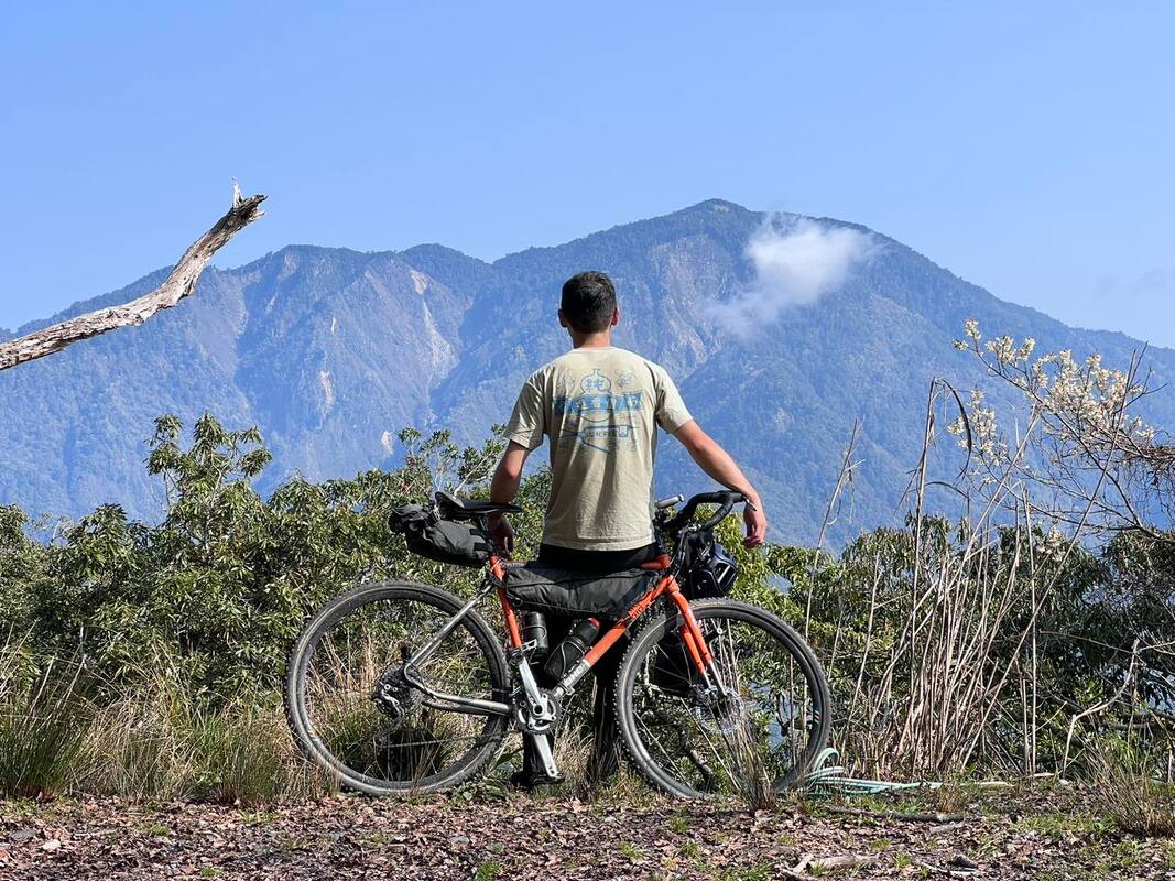
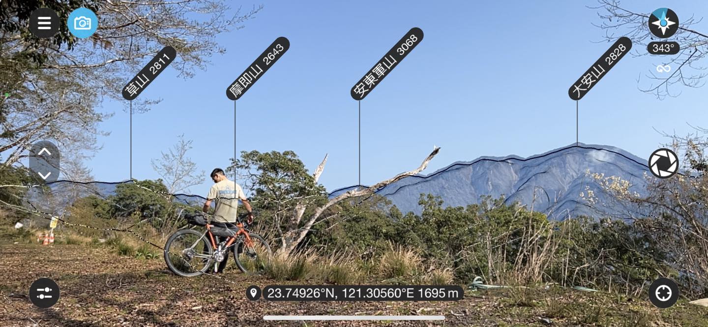
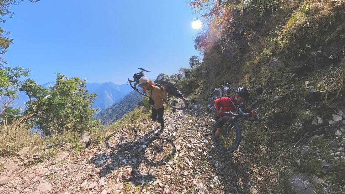
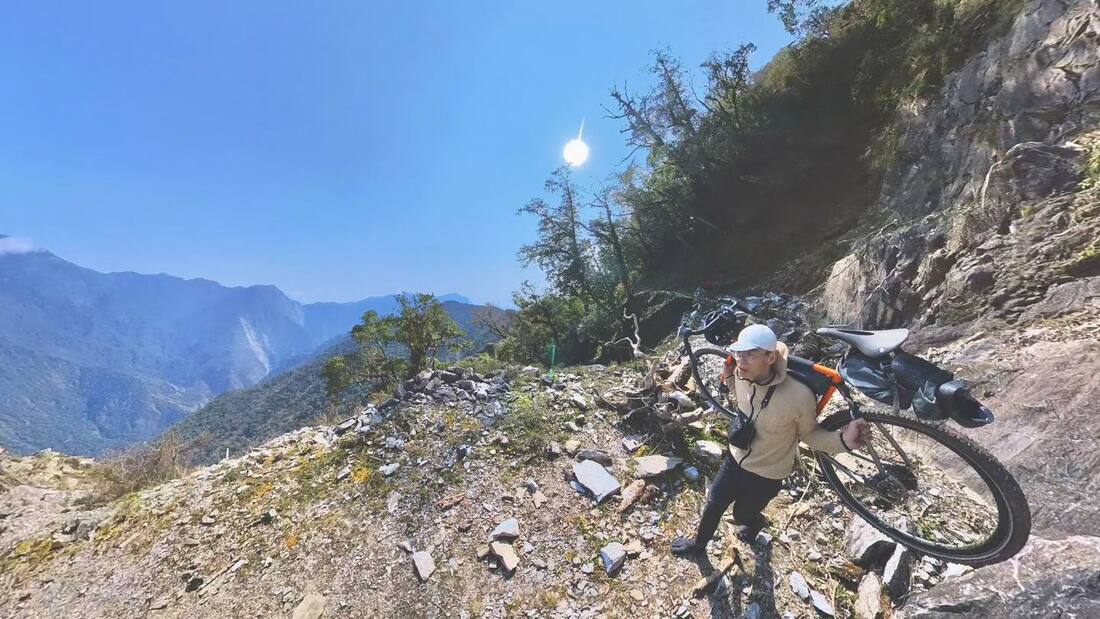
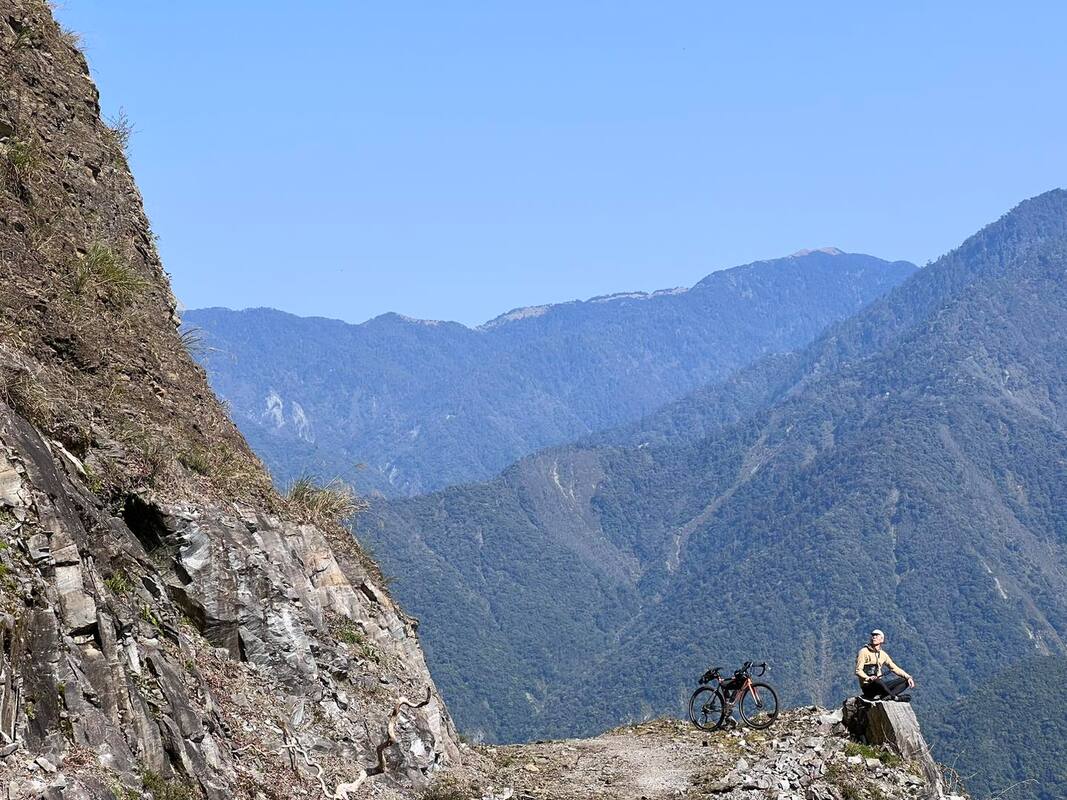
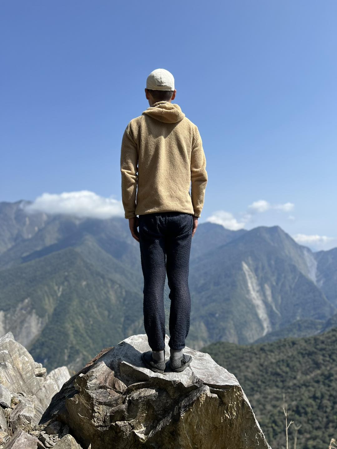
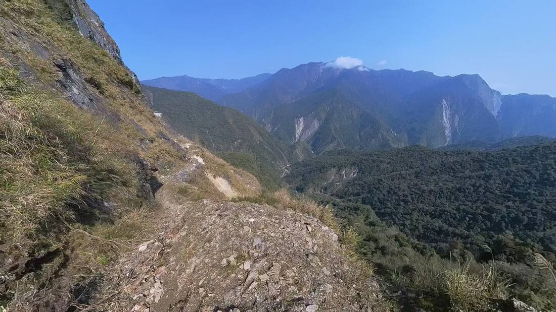
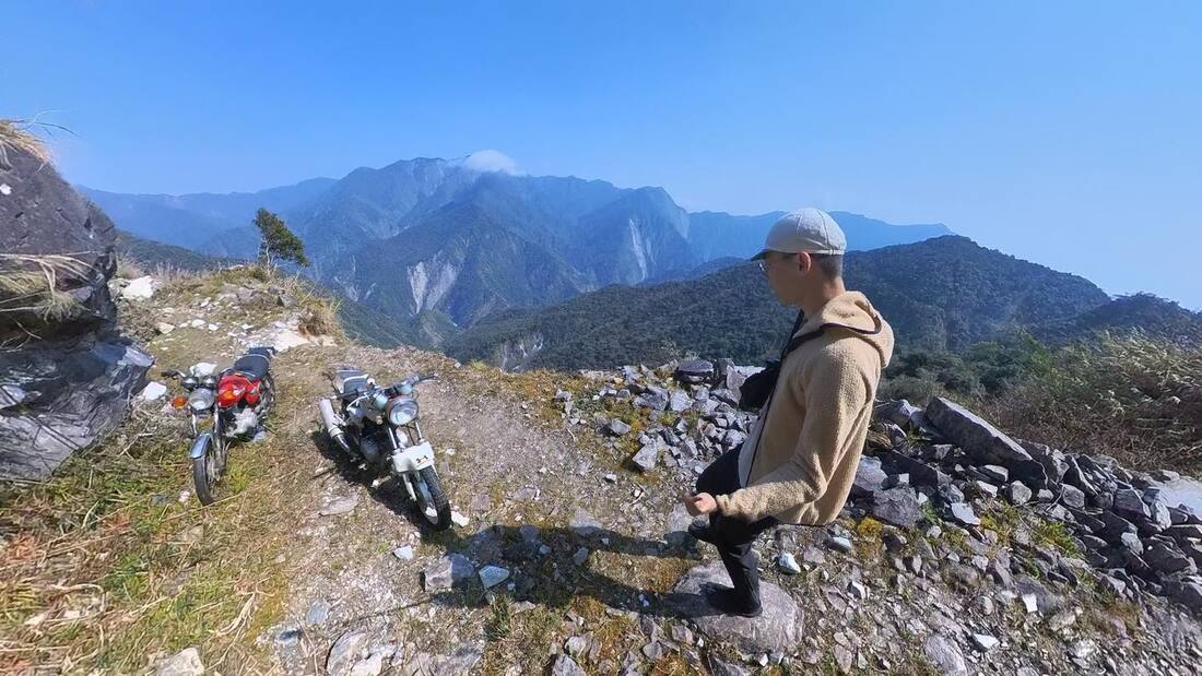
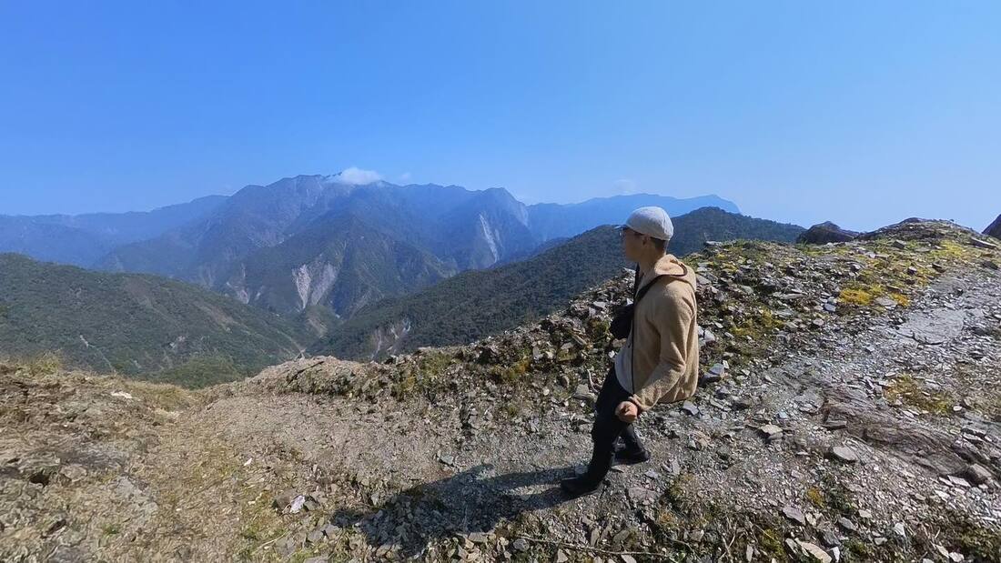
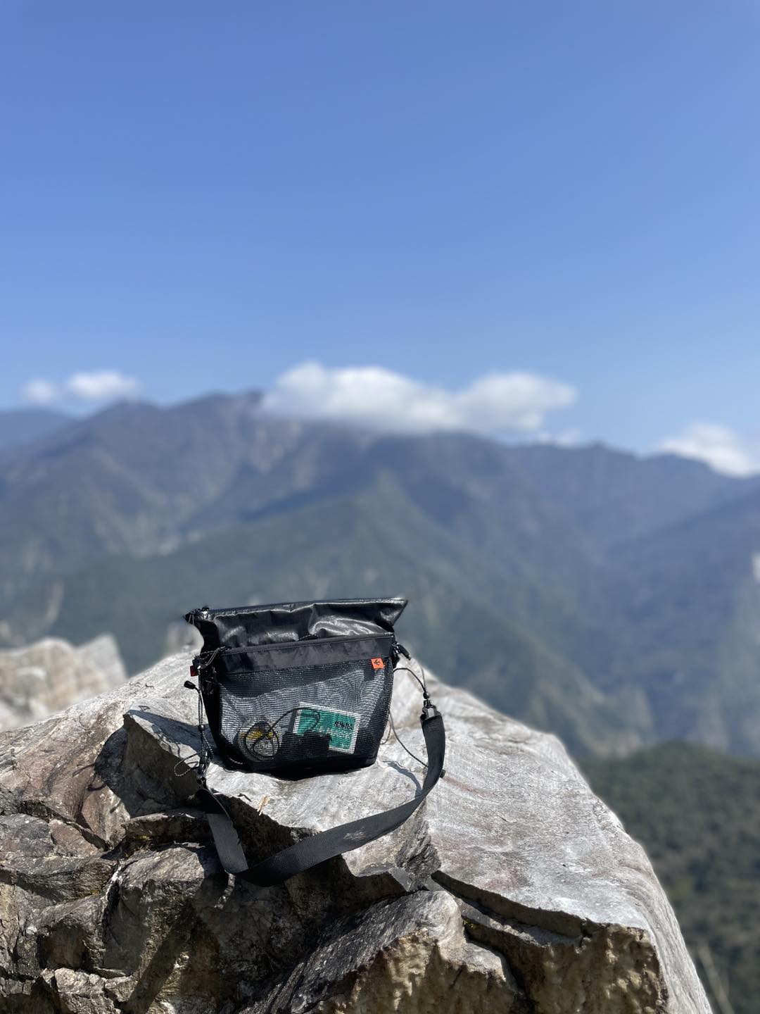
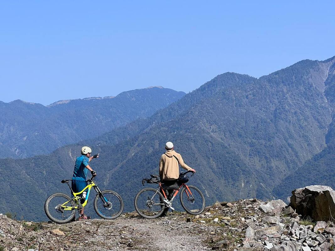
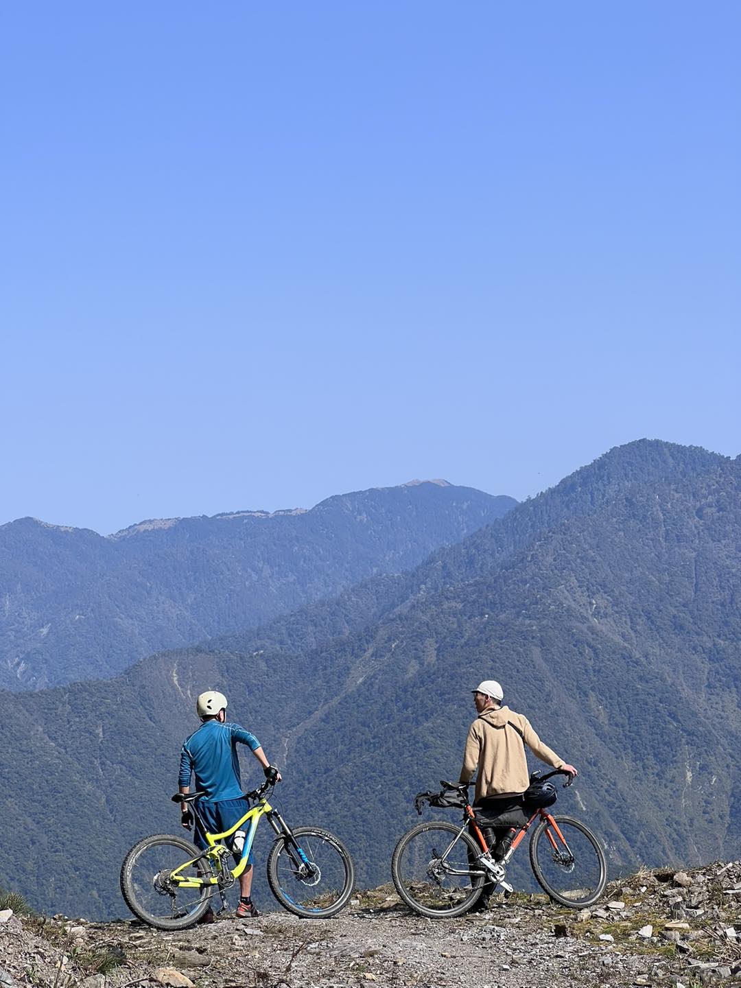
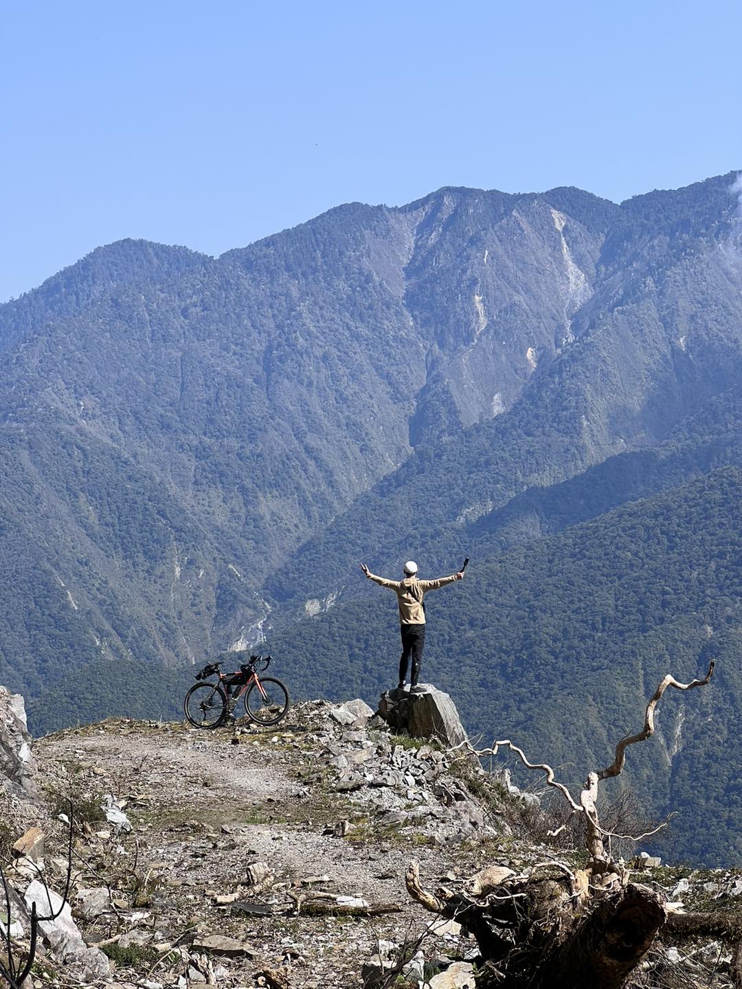
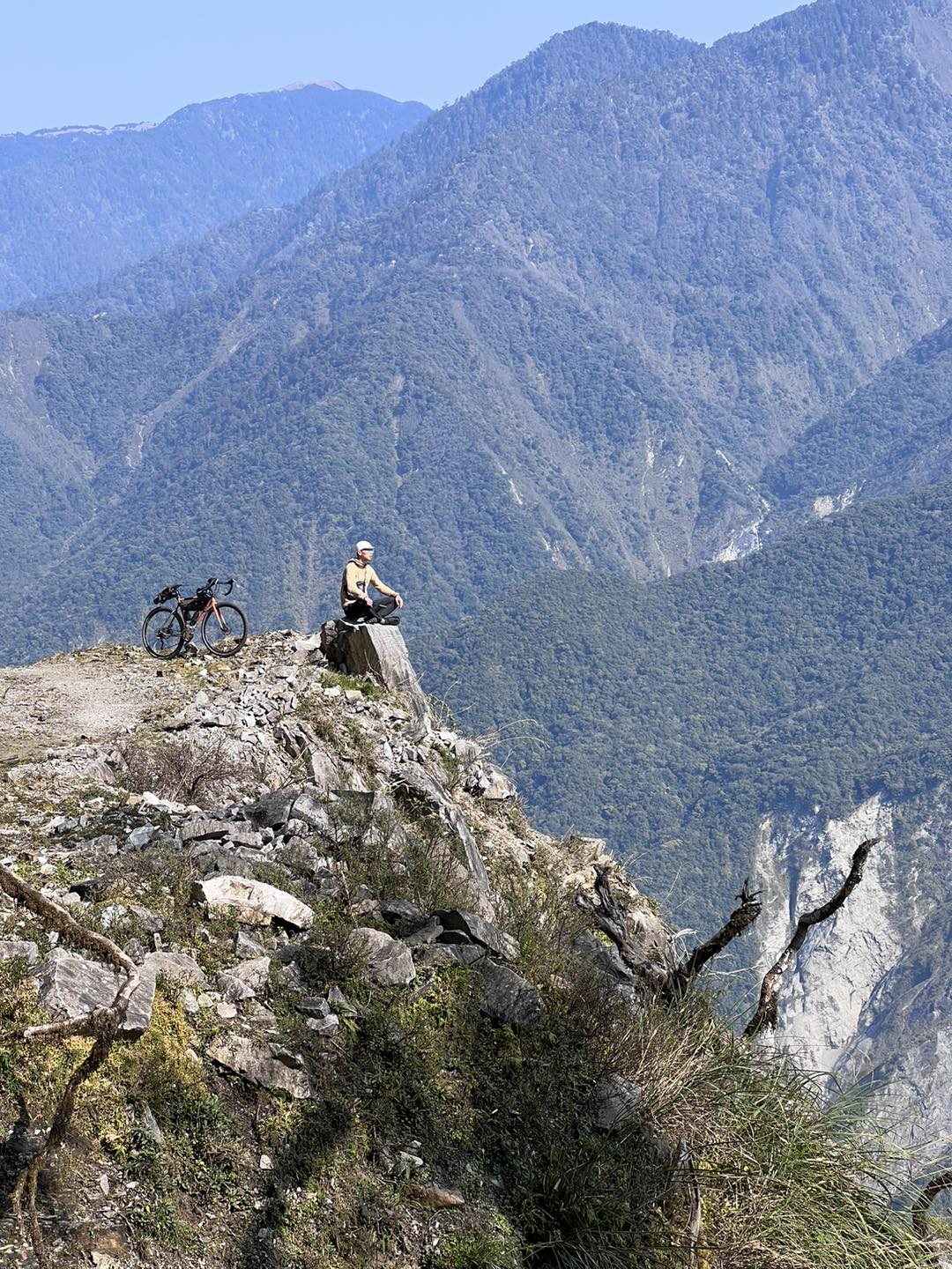
The effort was rewarded. Beyond the slope lay our turnaround point and a broad mountain panorama. Standing within the Central Mountain Range, we looked toward Nenggao–Andongjun and Qilai–Nanhua, peaks I had long admired while living in Japan. I could not climb them on this trip, but seeing them so close was exciting enough.
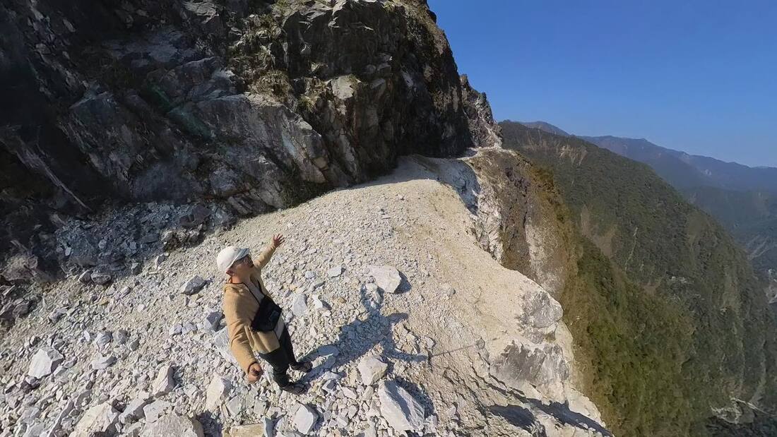
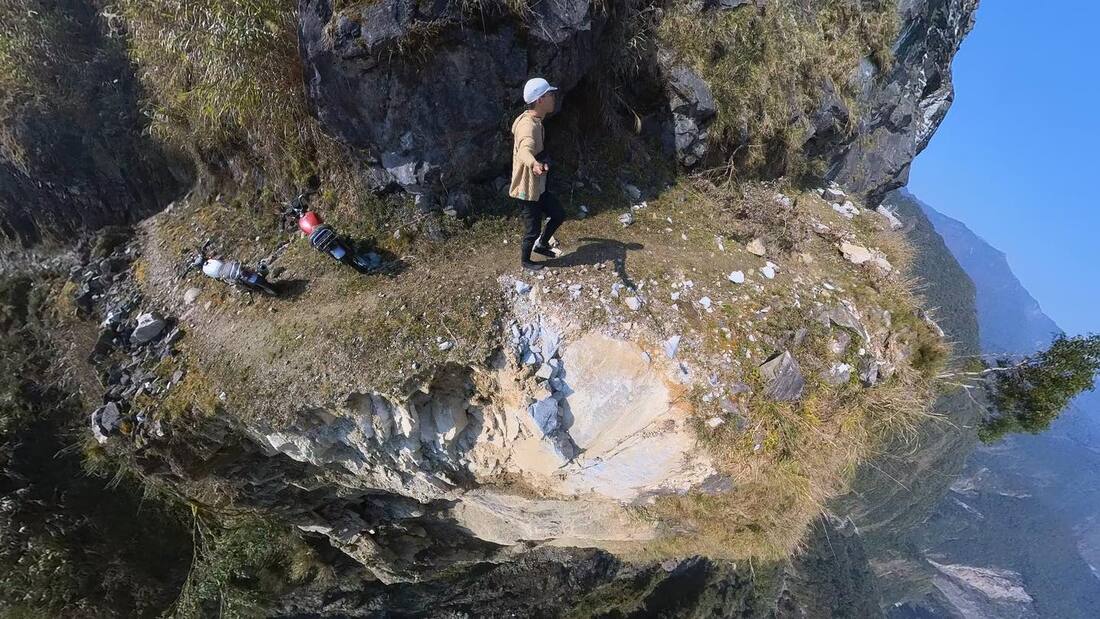
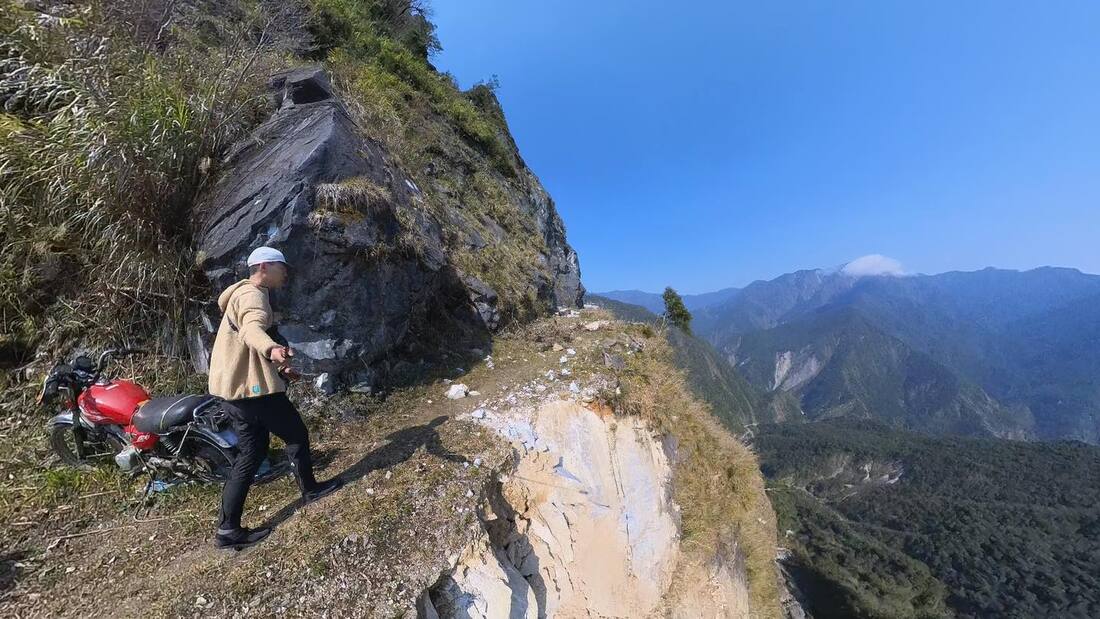
The road continued, but rockfall of various sizes made the next section less suitable for riding. We stopped to take photographs and enjoy the scenery. I walked a little farther and found two apparently abandoned motorcycles. I wondered whether they had been ridden in years before and left behind after landslides blocked the way.
Farther into the mountains, this road leads toward Liushun Mountain, passing an 800-meter ascent known as the “Stairway to Heaven.” If I could, I would love to carry the bike up, reach Qicai Lake and follow Danda Forest Road out to the west. On this trip, neither my fitness nor my determination was enough. Perhaps that journey belongs to another day, or to someone stronger. For now, I was content to look into the mountains and imagine what lay beyond. Perhaps those unfinished ambitions will become the motivation to go farther.
The Ride Back
For the return, we lowered our saddles and tire pressures to improve control and grip over more than 30 kilometers of gravel. I had expected an uncomfortable descent, but the surface rode better than I imagined and stayed within my abilities. Descending at a pace I could control, without feeling painfully slow, was enormously satisfying.
Yesterday’s effort became today’s momentum. Scenery swept past: water sources, huts, streams we had splashed through, landslide scars, more huts and beautiful roadside trees. At the checkpoint, the clever dog knew there was no need to bother people leaving the road and did not bark.
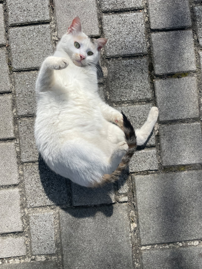
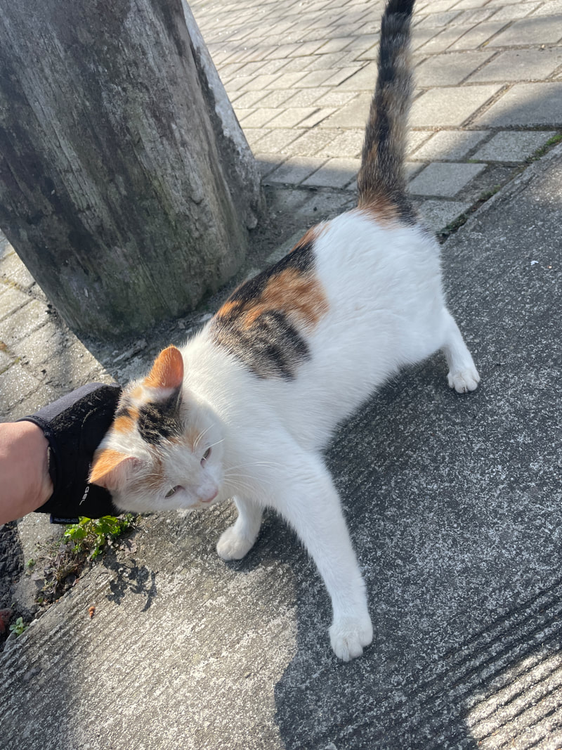
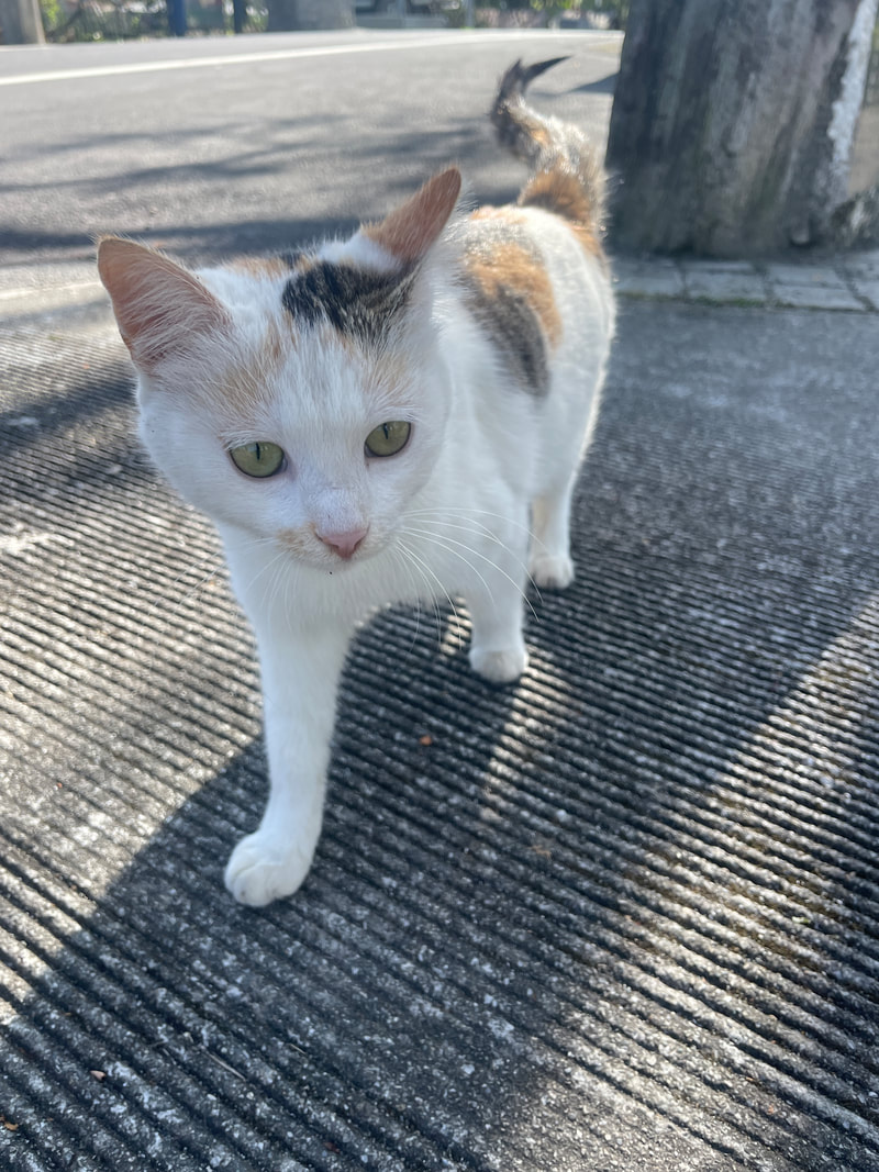
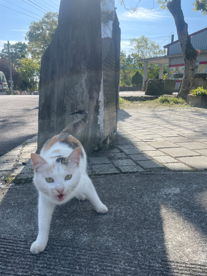
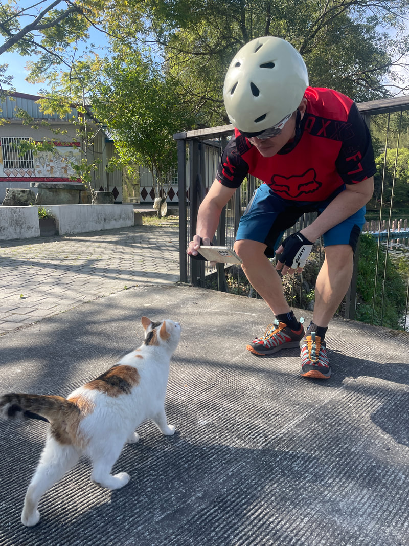
At last, we returned to our car at Bihetan. The little cat that had welcomed us the previous day was nowhere to be seen. I wished it had come back to put the final full stop on our journey.
Key Locations from the Original Trip
- 6 km, Bihetan: We parked here and began riding. The preceding road was extremely steep, with average gradients the author estimated in the teens.
- 9 km, checkpoint: At the time of the trip, access beyond this point was limited to walkers and bicycles.
- 21 km, workers’ hut: Our lunch stop, with water available.
- 24 km, workers’ hut: The source’s summary places the rougher section here, although the narrative refers to 26 km. Larger rocks required greater care. Water was also available.
- 31 km, final water source: Listed as 31.5 km in the narrative. Earlier sources were frequent enough on the author’s trip that one bottle could last between them.
- 34 km, abandoned workers’ hut: Our overnight stop. There was mobile reception shortly before it.
- 36 km, turnaround point: Beyond this point, larger rocks and rockfall made the route less suitable for riding.
Acknowledgments
Special thanks to Richard, who took most of the photographs along the way, and to Big Python, Brother Snake, our walking encyclopedia of Hualien’s forest roads. Thank you for leading us. I hope we will ride many more forest roads together.
The original author also invites readers to visit his shop, Ebisu Japan, for cycling supplies, everyday health products and sunscreen.
Read the original Chinese article and photo galleries at Bikepacking diary.