Syakaro Historic Trail in Spring | Bikepacking among Bamboo and New Green Leaves
Translated from Bikepacking diary’s original article on Syakaro’s spring greenery, published on March 18, 2017, and republished by arrangement with the author. Photographs are linked directly from the original website.
Editor’s note: This is a historical personal account, not a current bicycle-access, hiking or camping guide. Confirm trail status, permitted activities, overnight arrangements and restrictions with the land manager before visiting, and respect Indigenous land and cultural sites. The narrative includes leaving bicycles behind, descending toward a stream and crossing unstable landslide terrain using an existing rope. These are descriptions of what happened, not instructions or assurances of safety. Do not enter unstable slopes or assume trail ribbons or fixed ropes indicate a safe route. Turn back when conditions exceed your equipment or ability. Overnight rain does not guarantee clear or stable conditions the next day. Historical dates, place-name explanations and bridge measurements below are attributed to the source account, not independently verified present-day facts.
A Trail Shaped by People and History
Many of Taiwan’s forest roads are closely connected with Indigenous communities and the Japanese colonial period. Syakaro Historic Trail is no exception.
In the history recounted in the original article, the route began as a connection or hunting path between Shilu and Qingshi.
During Japanese rule, conflict associated with the colonial administration’s coercive policies developed into the Syakaro fighting.
The account connected this history with Governor-General Sakuma Samata and described the later building of bridges, roads and police stations to strengthen control over local Indigenous communities.
The route was referred to as the Syakaro–Sakiyajin military road, with fourteen stations along it.
Some stations continued in use after Japanese rule ended. The original article described Baishi Station as remaining in service until the 1970s, later becoming a place where hikers rested or stayed.
That remembered use is not confirmation that overnight stays are currently authorized or safe.
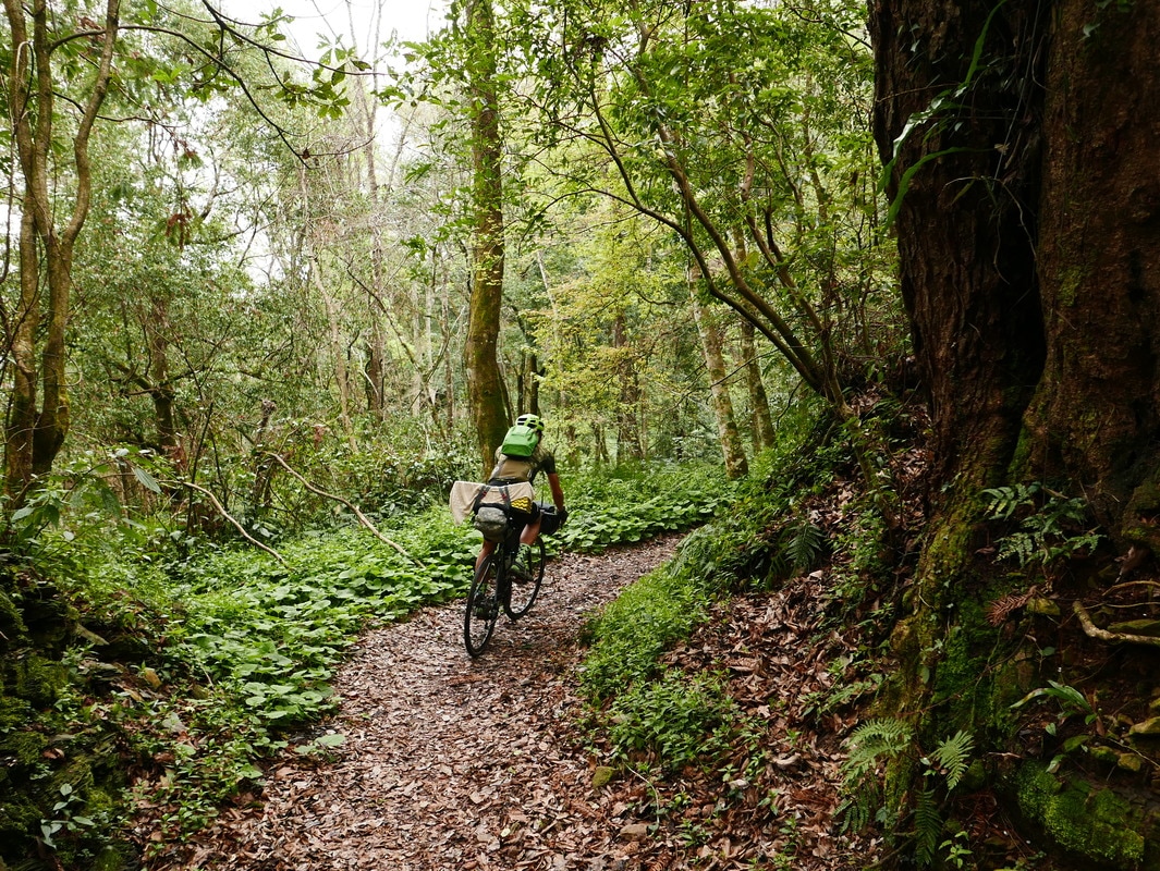
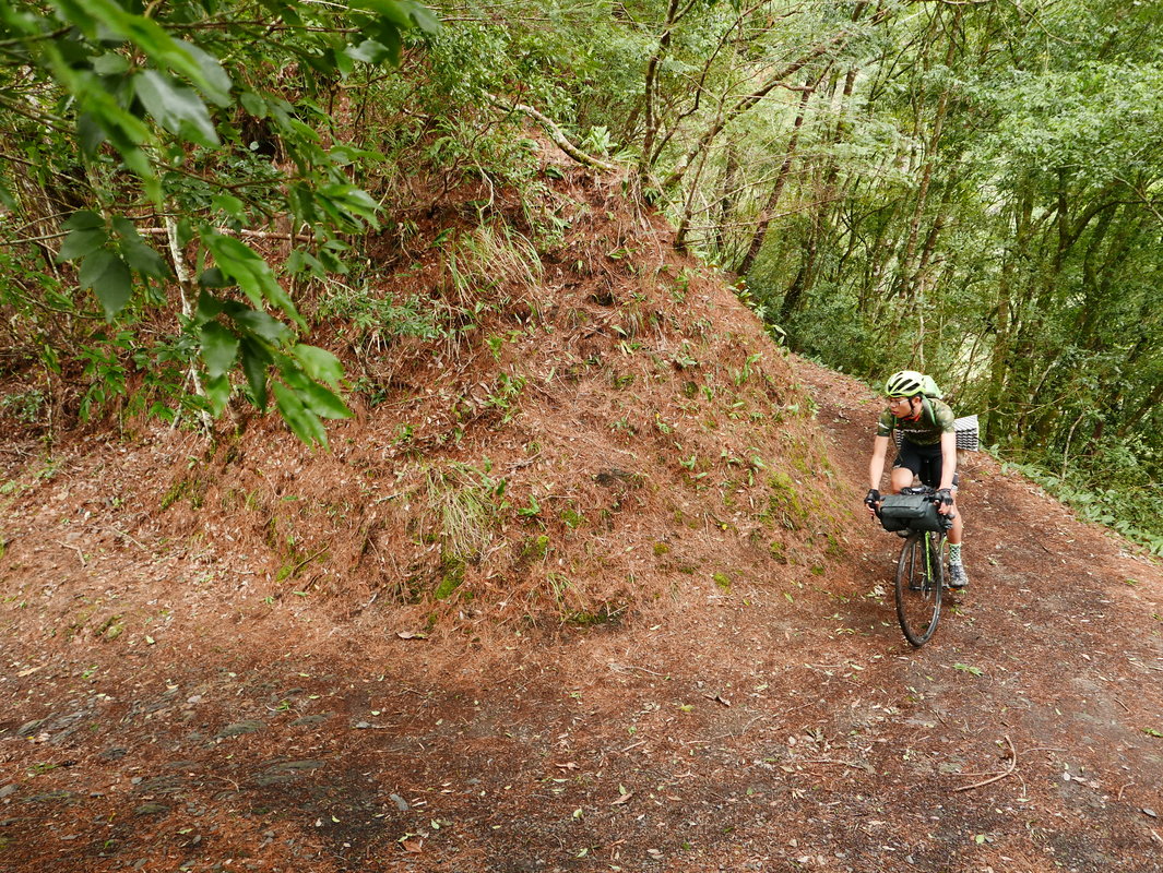
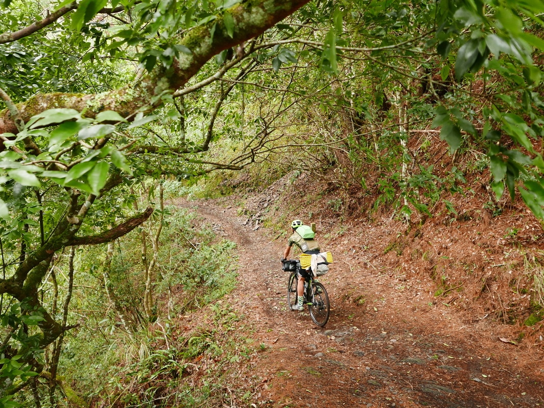
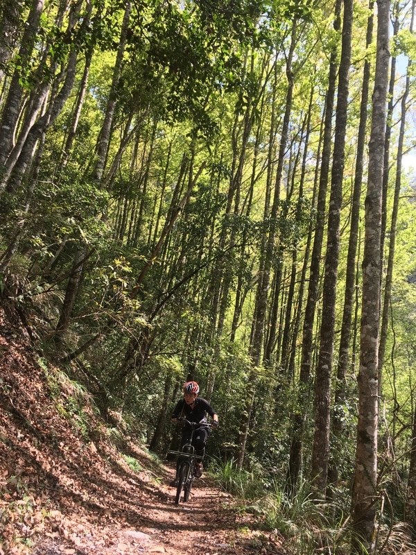
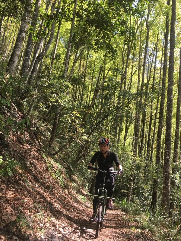
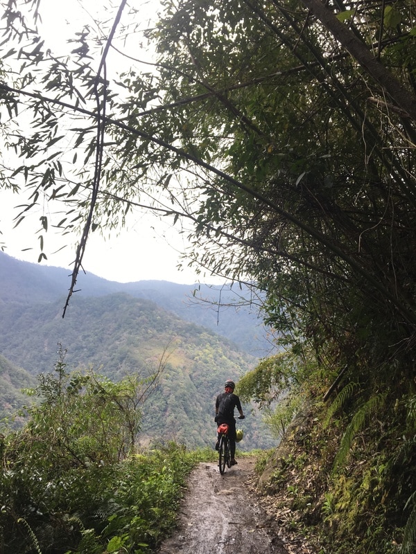
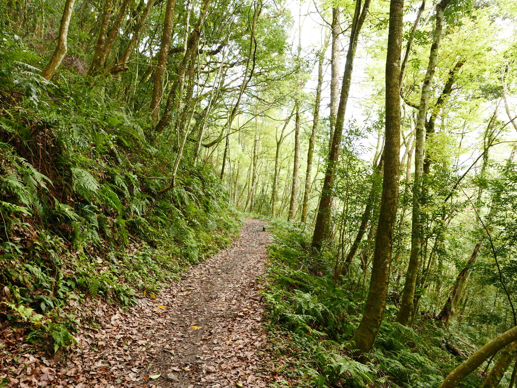
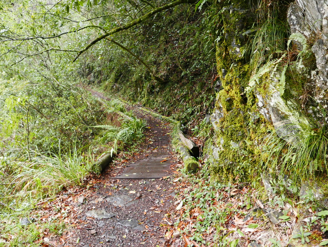
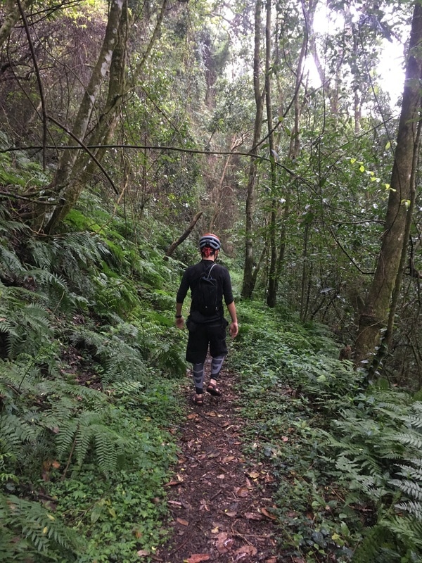
Much of the trail felt relatively gentle, with fewer steep gradients than many mountain routes. To me, it seemed wonderfully suited to the kind of journey I enjoyed.
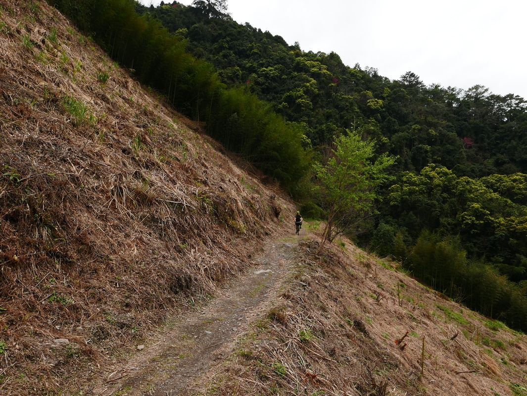
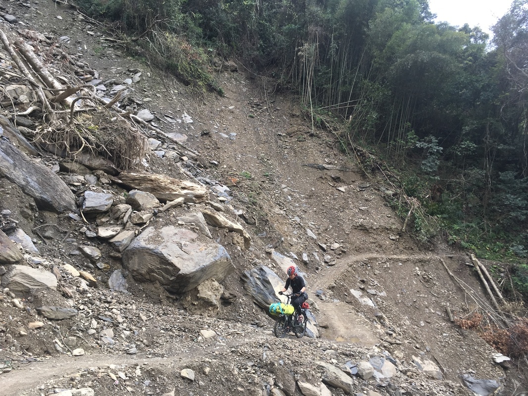
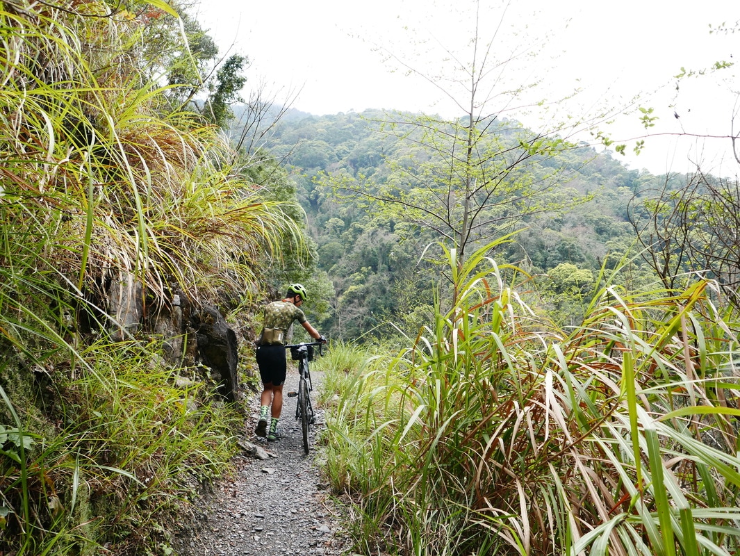
But landslides interrupted it. On our visit, I estimated that bicycles could get only around eight kilometers before damaged terrain stopped the riding.
Even so, the changing scenery made the journey deeply rewarding.
A Cargo Bike at the Yanglao Entrance
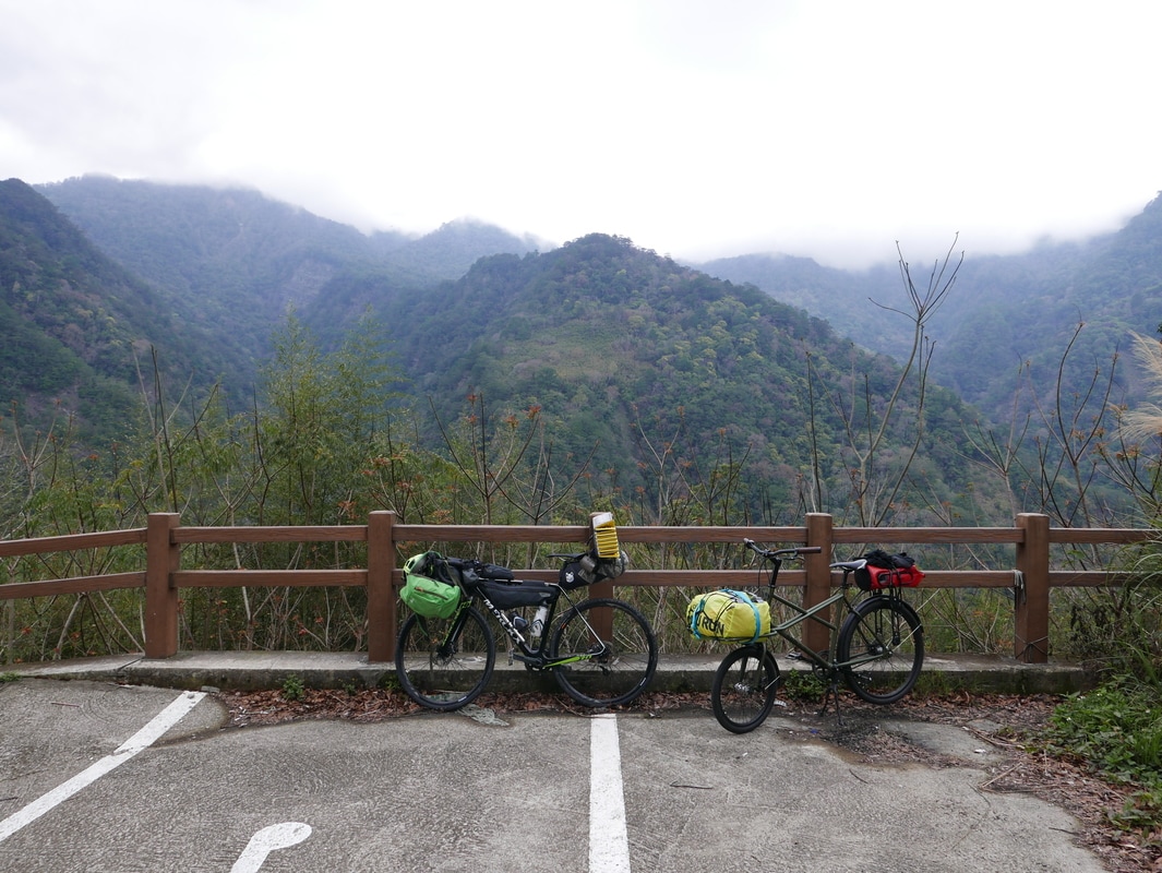
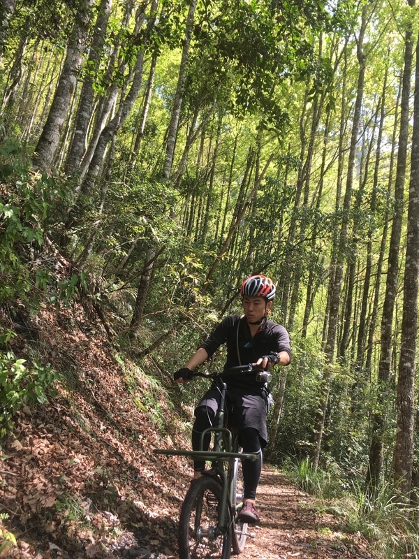
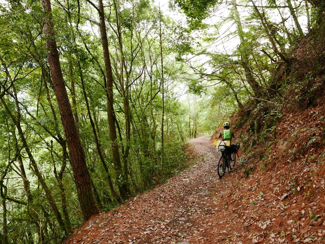
We drove to the parking area at the Yanglao entrance, unloaded and prepared to set off.
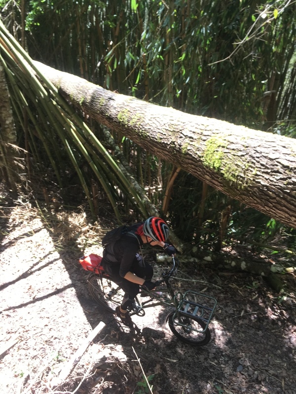
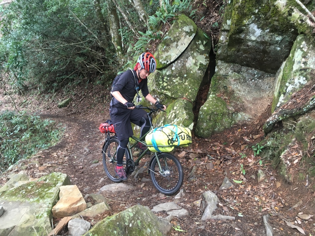
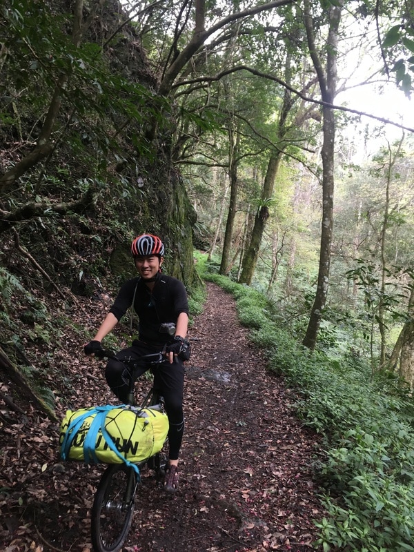
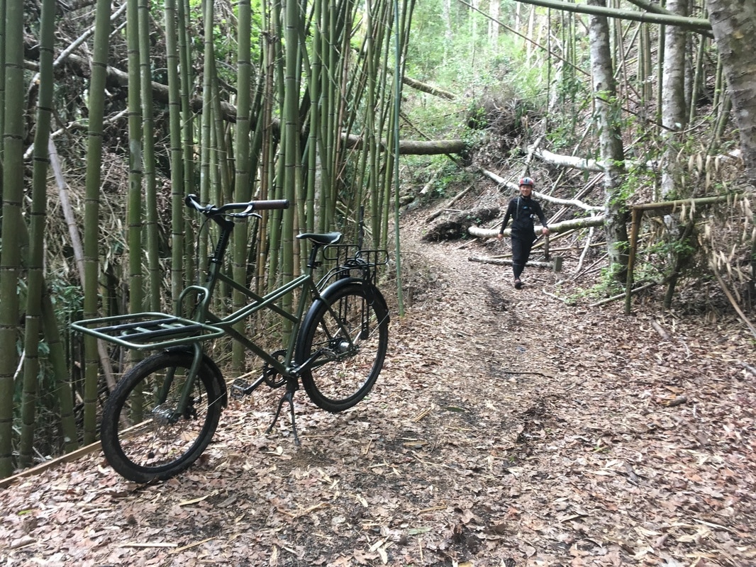
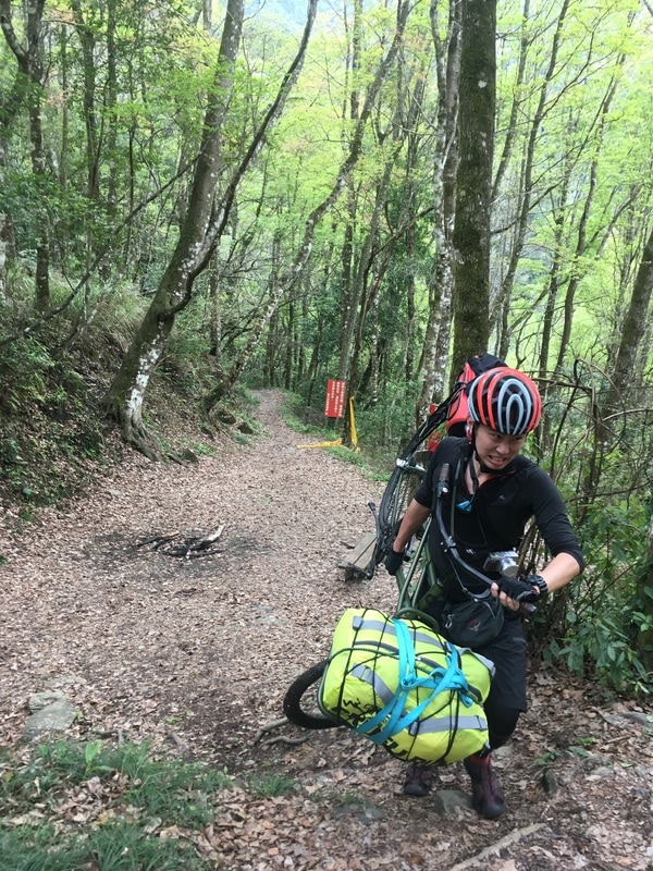
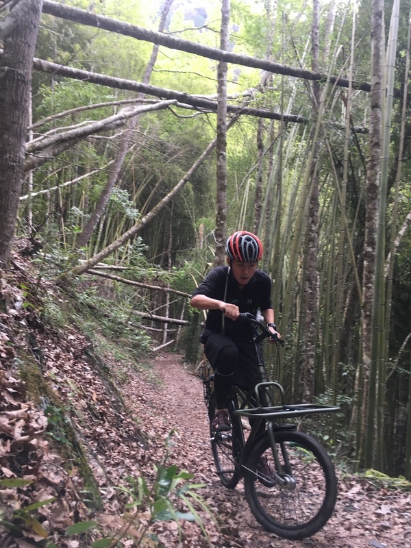
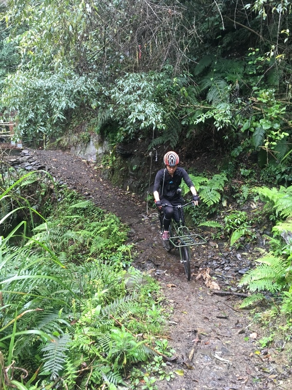
My companion’s bicycle was unusual: a cargo bike.
A machine designed to carry loads seemed well matched to traveling with camping equipment.
His particular bike used a rear coaster brake, however. He had considerable off-road experience, including crossing the Nenggao trail by bicycle.
In the original account, I suggested a conventional hand-brake version for riders without comparable experience. In practice, the whole bicycle and braking setup need to suit the route, load and rider; another person’s successful trip is not proof of suitability.
Coasting through Bamboo
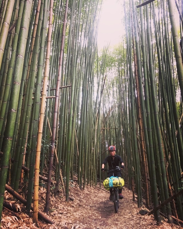
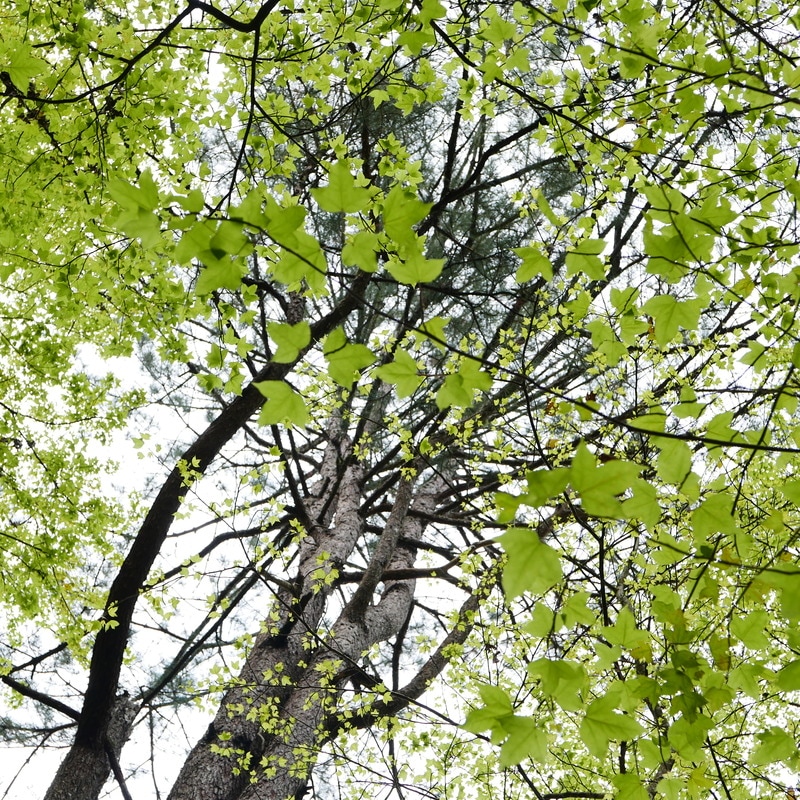
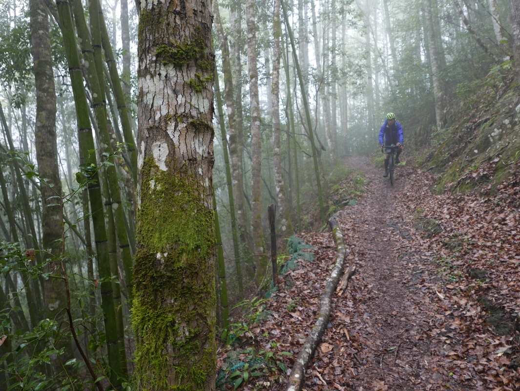
When people think of Syakaro, bamboo and maple trees often come to mind.
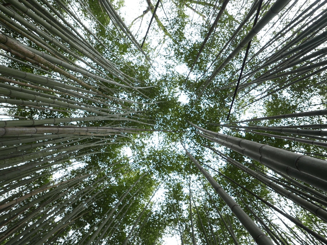
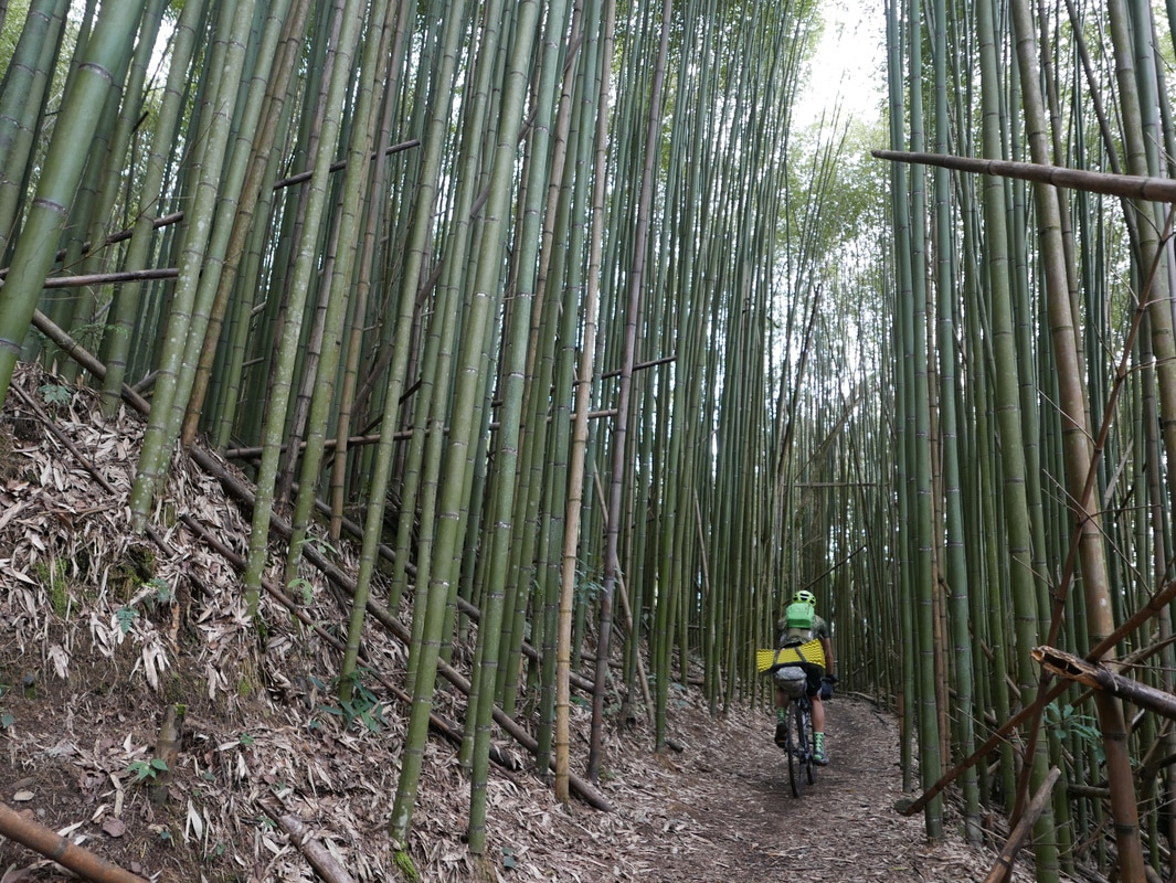
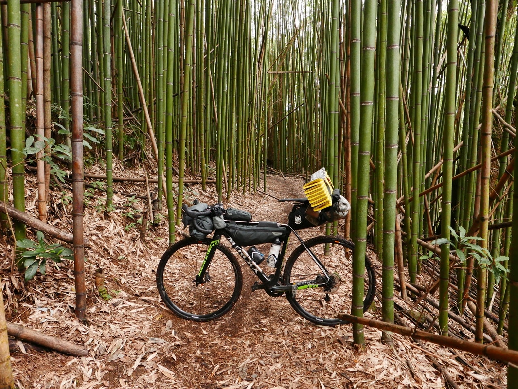
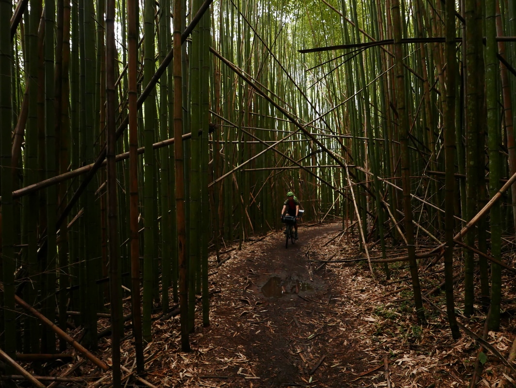
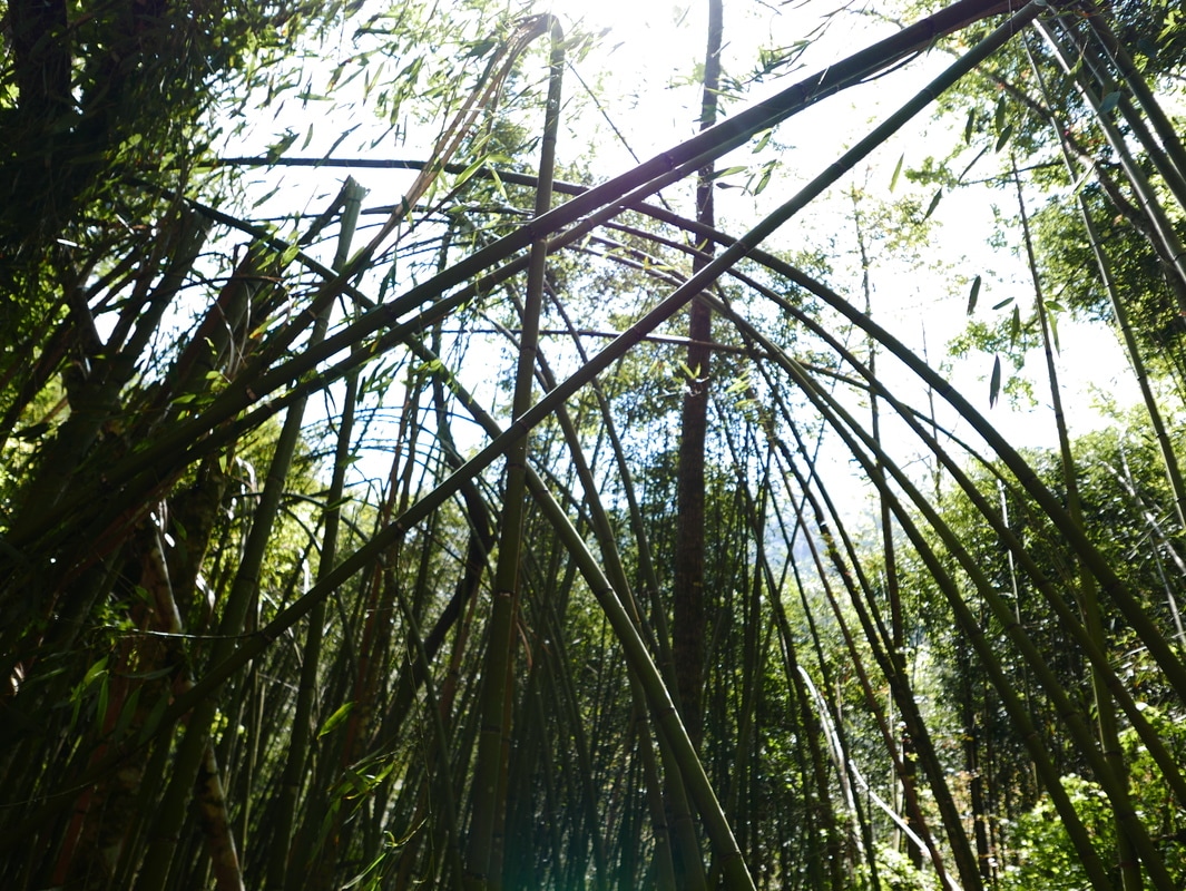
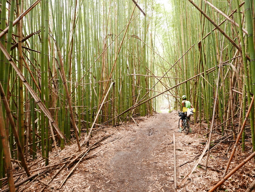
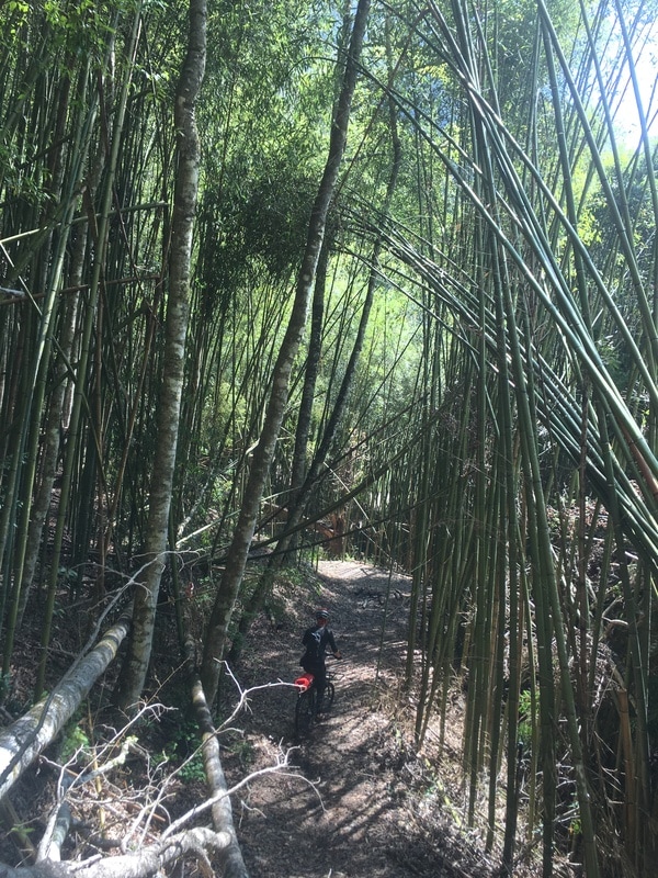
At the former Liyuan station site, tall moso bamboo reached overhead.
The breeze moved through it with a soft rustling sound.
Almost without noticing, I stopped pedaling and let the wheels roll between the stems.
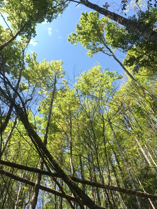
Looking up, I could see blue sky threaded among the green leaves.
Why Come in March?
The trail’s busiest season, in my experience, was around the autumn-color period, roughly December.
I remembered the Shilu entrance parking area filling with vehicles and people selling food.
I preferred to avoid crowds, so I had not come for the red leaves.
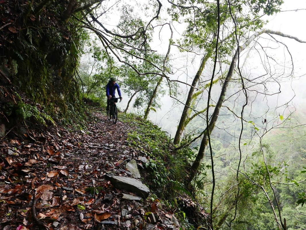
March offered something different: fresh green growth, full of energy and brightness.
I wondered why there were so many maples along the trail.
My companion offered an explanation. He said Indigenous residents had once cultivated shiitake mushrooms here and planted these trees for the logs used in cultivation.
The mushroom growing had stopped, he said, but the trees remained and continued to spread.
That was the local explanation shared during our ride, not a history I had independently established.
Camp at the Ma’an Station Ruins
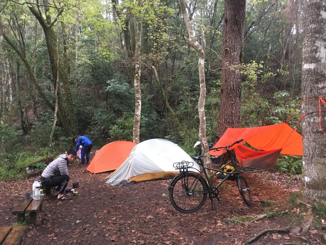
Our intended overnight stop was the former Ma’an station site.
I had heard it could fill with tents during the maple season. On this visit, there were only three.
We set up with daylight to spare, then left our main luggage and headed out to explore.
Without the load, the bicycles felt wonderfully light. For a short while, we rediscovered the lively sensation of moving along the trail unburdened.
Then our curiosity drew us elsewhere.
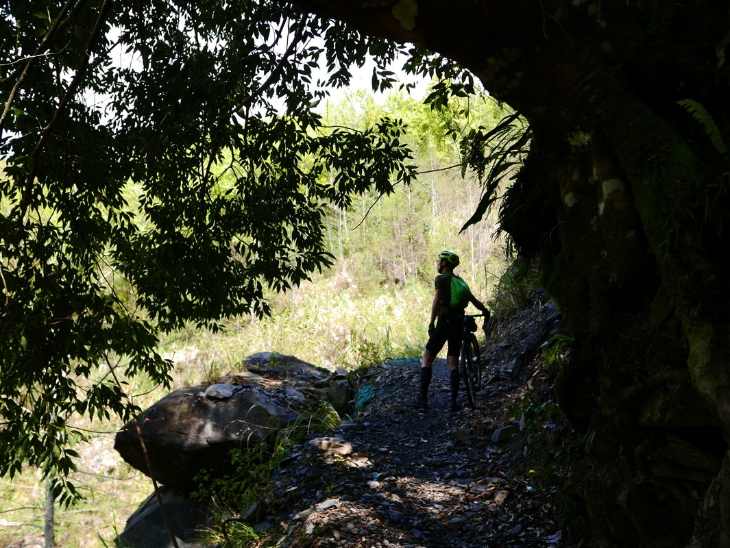
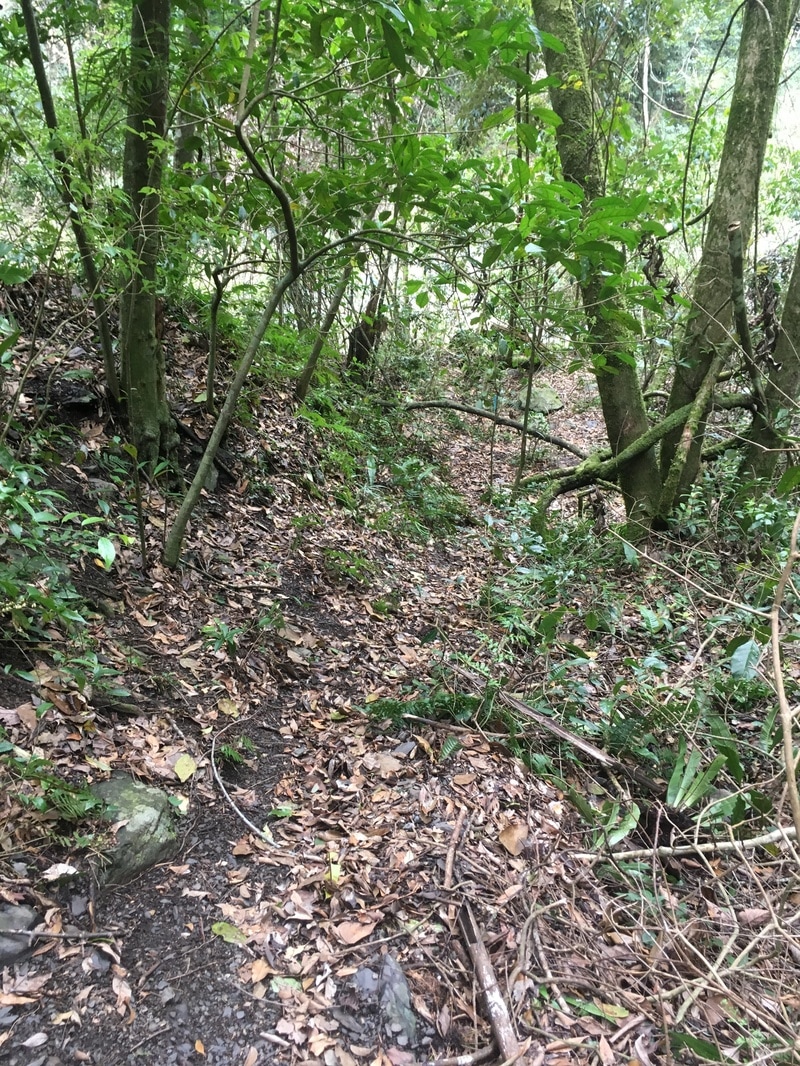
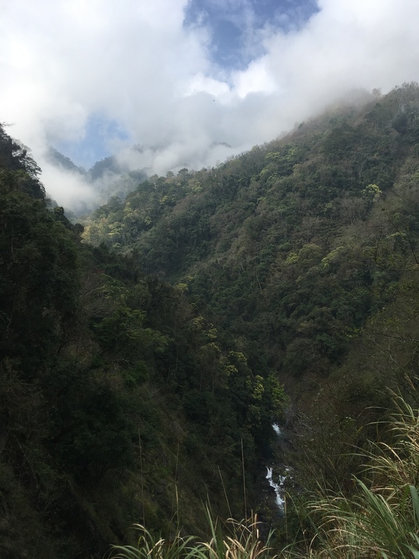
We noticed hiking-group ribbons beside the path, left the bicycles and continued on foot down toward the valley.
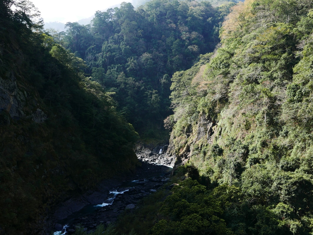
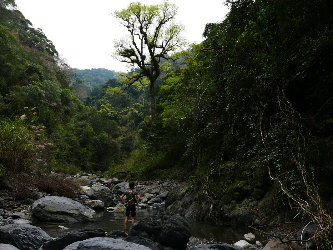
Eventually, we reached Sakiyajin Stream.
My companion explained the Atayal name as referring to white stone suitable for sharpening blades, linking it with the name Baishi, or “white stone,” and the old name of the police station.
This place-name explanation is retained as it was recounted in the source.
A Nap beside the Stream
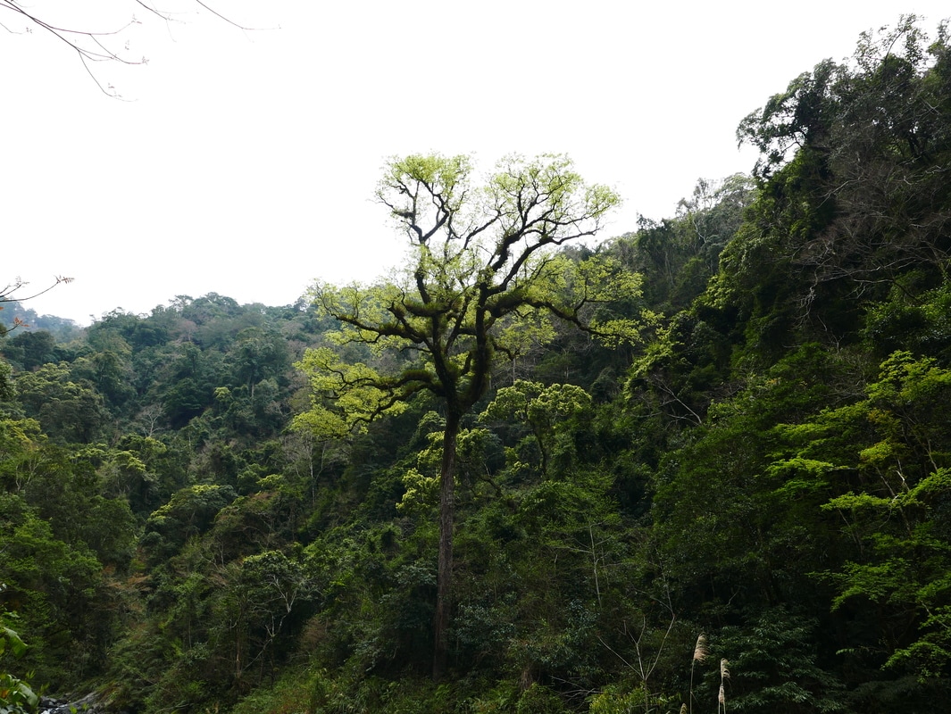
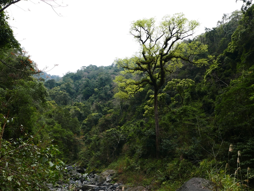
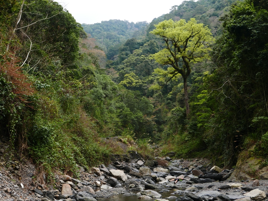
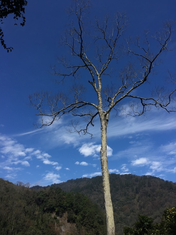
A great tree in the valley caught my attention.
My companion called it an old maple, perhaps at least fifty or sixty years old.
I imagined how many floods it might have survived while remaining rooted in that place.
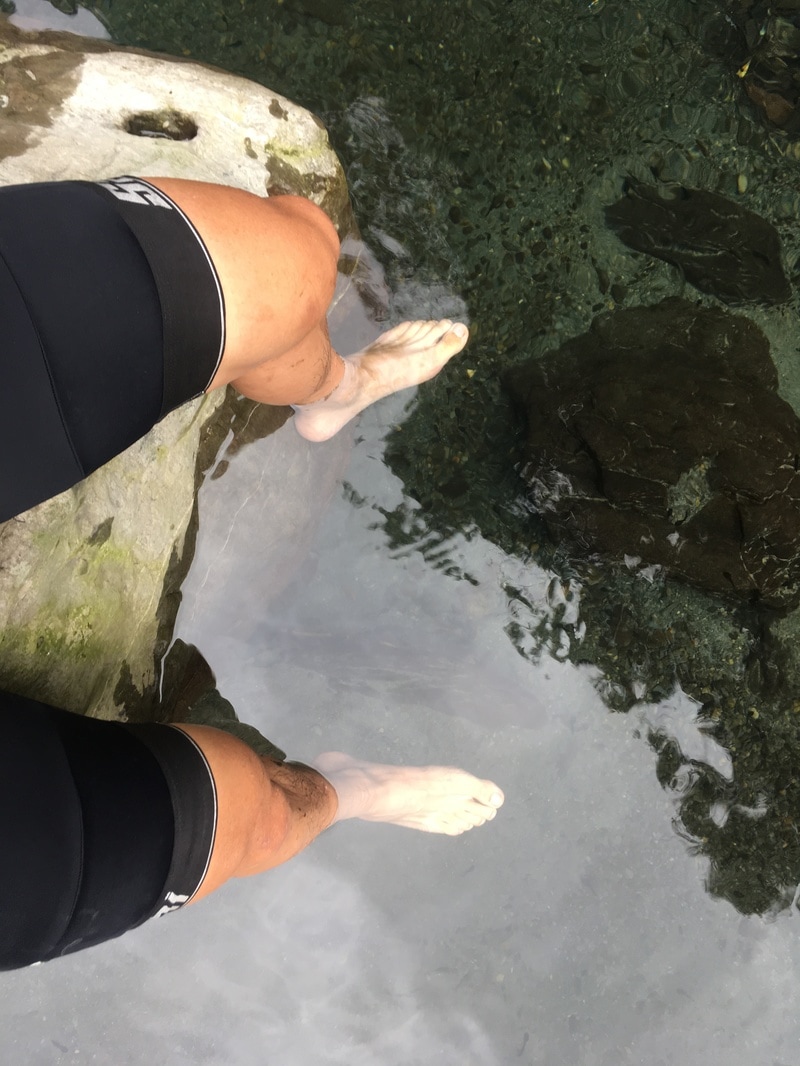
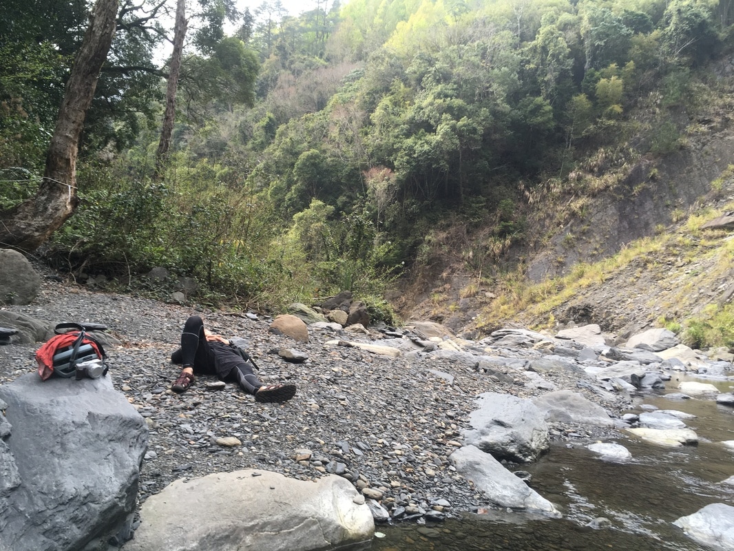
We lingered among the mountains, lying on rocks and listening to water and birds.
Little by little, we drifted off.
The mountain chill eventually woke me.
I did not know how long we had slept, but the dimming sky made it clear that we should not stay.
We climbed back to the trail and returned to our home for the night at Ma’an.

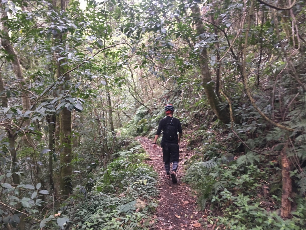
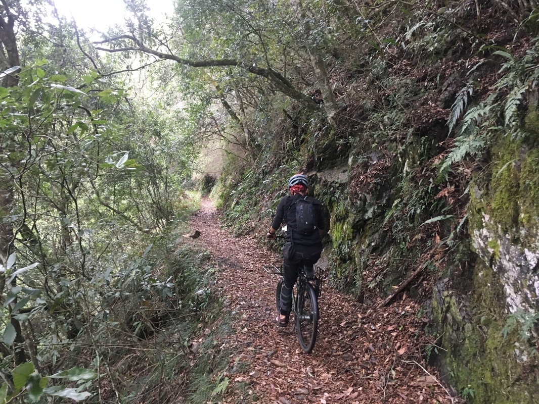
A Memorable Mountain Dinner
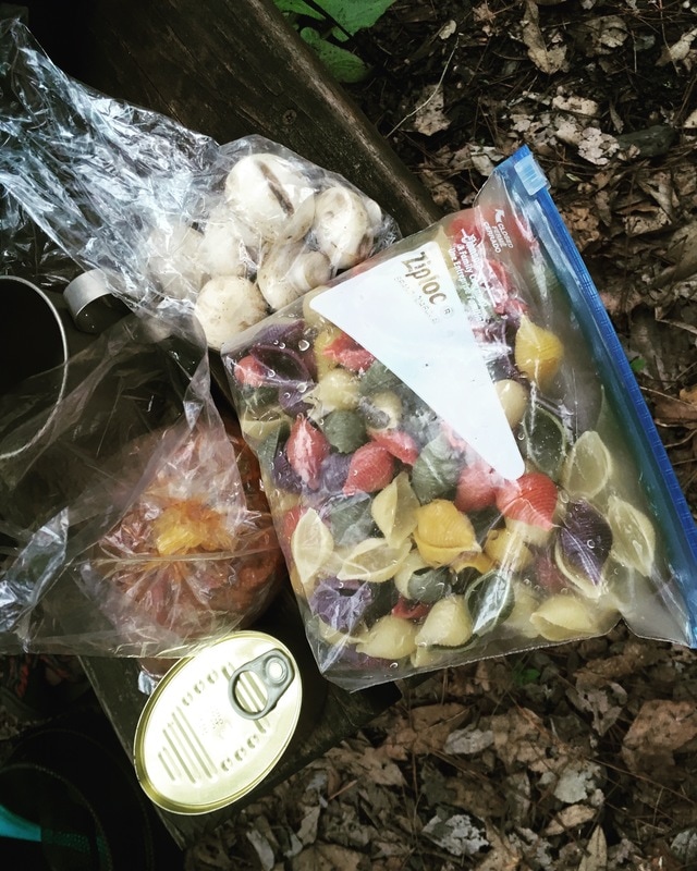
Back at camp, my companion began cooking.
It was the best dinner I had eaten during half a year of weekend wandering.
Even I, someone who rarely cooked, began to wonder whether I should put more effort into preparing food on future trips.
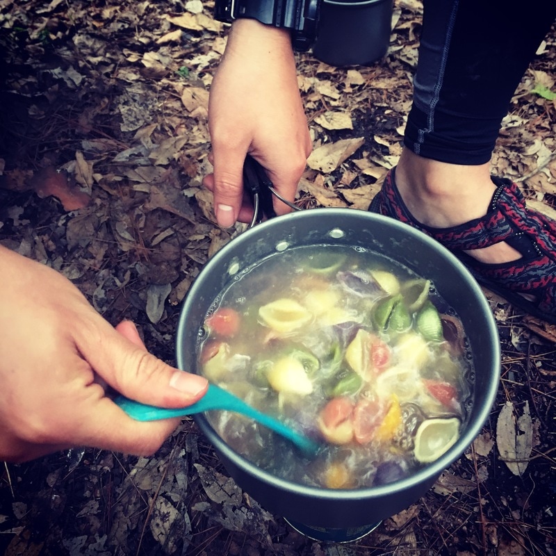
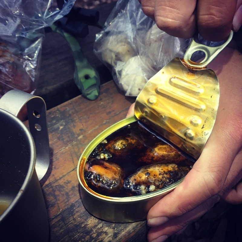
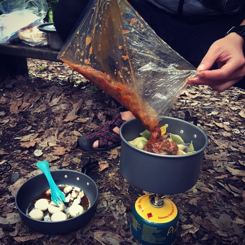
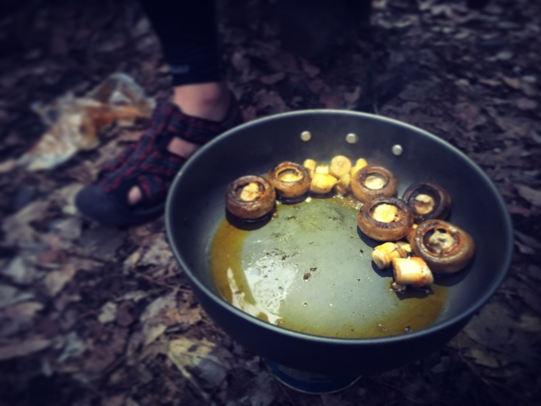

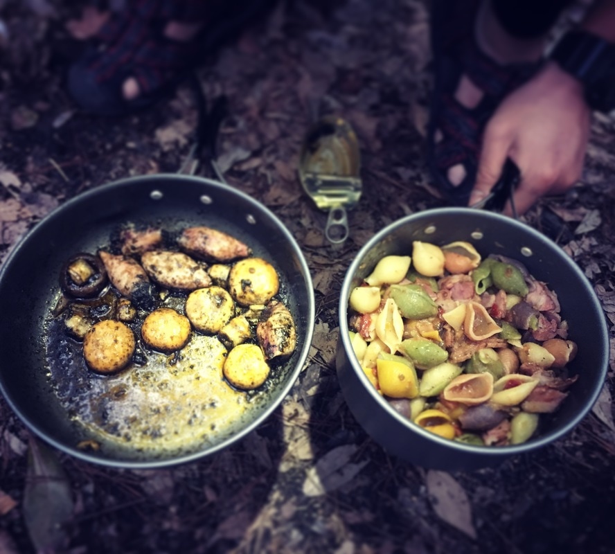
Light rain woke me several times during the night.
Half asleep, I kept wondering whether we would still be able to visit Baishi Suspension Bridge the next day.
The Morning Decision
I opened the tent to drifting mountain mist and unfamiliar birds calling from the maples overhead.
Over breakfast, we discussed whether to keep the plan.
Would we be caught by heavy rain halfway there?
My companion said that weather in these middle-elevation mountains often meant rain at night and clearer conditions by day.
That reassurance helped persuade me to go. It was a judgment made on this trip, not a reliable weather rule.
At first, everything went smoothly.
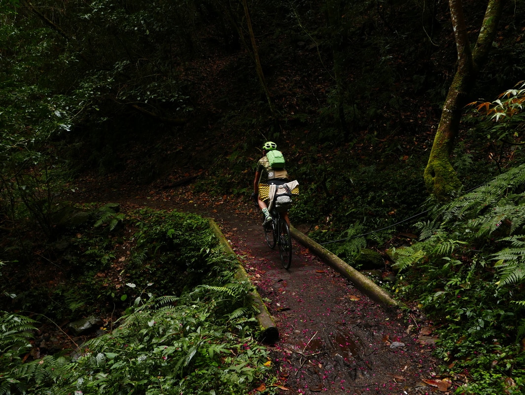
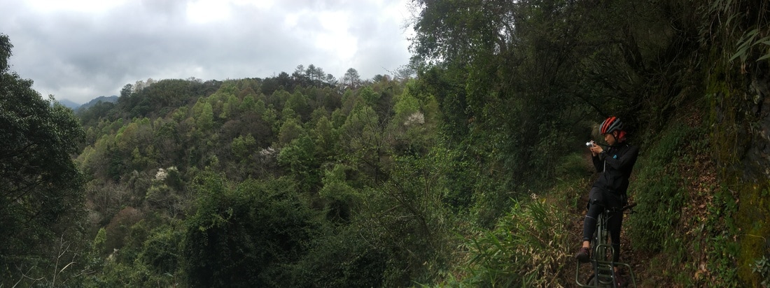
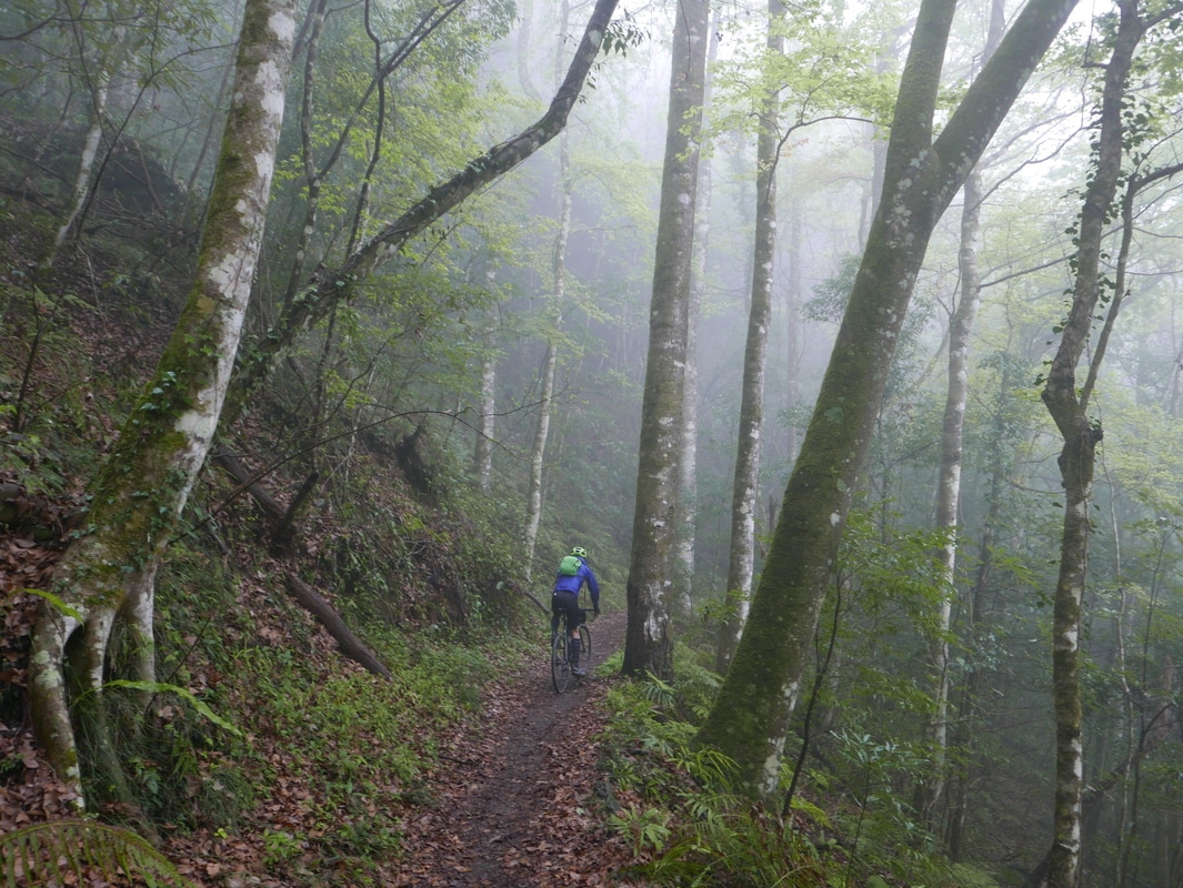
Much of the beginning was ground we had ridden the previous afternoon. We enjoyed the forest riding until we reached the first landslide.
When Riding Became a Frightening Walk
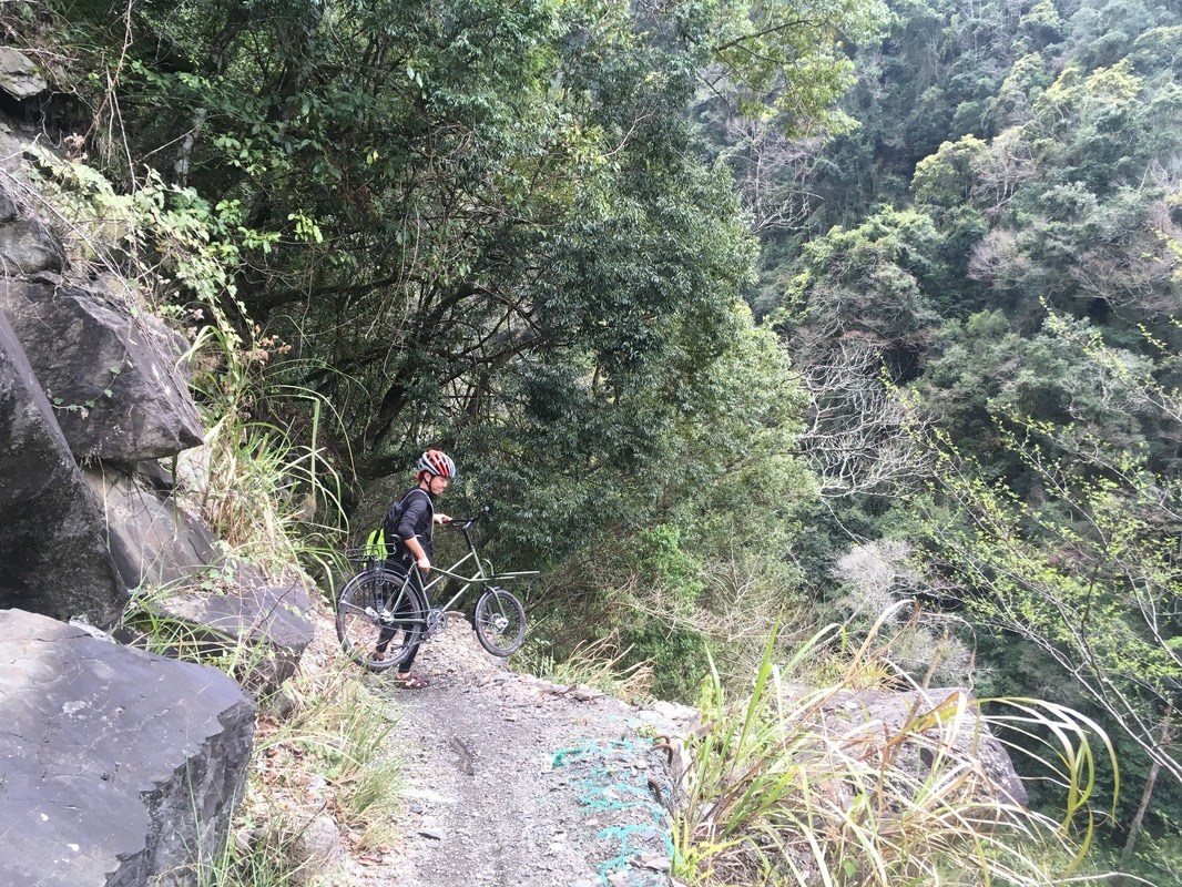
We parked the bicycles beside the mountain and continued on foot, descending over exposed ground.
From that point, progress depended on our feet rather than our wheels.
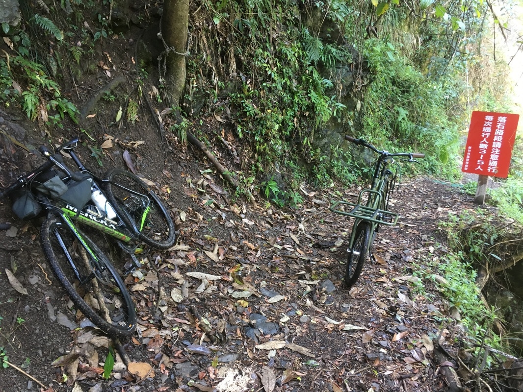
My companion thought the bridge was not far away, perhaps another half hour.
Then the difficult part really began.
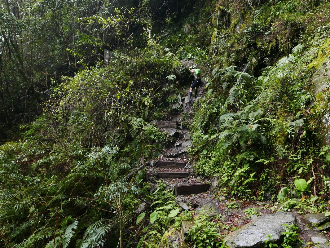
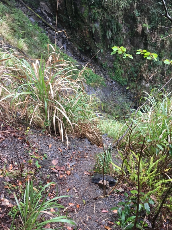
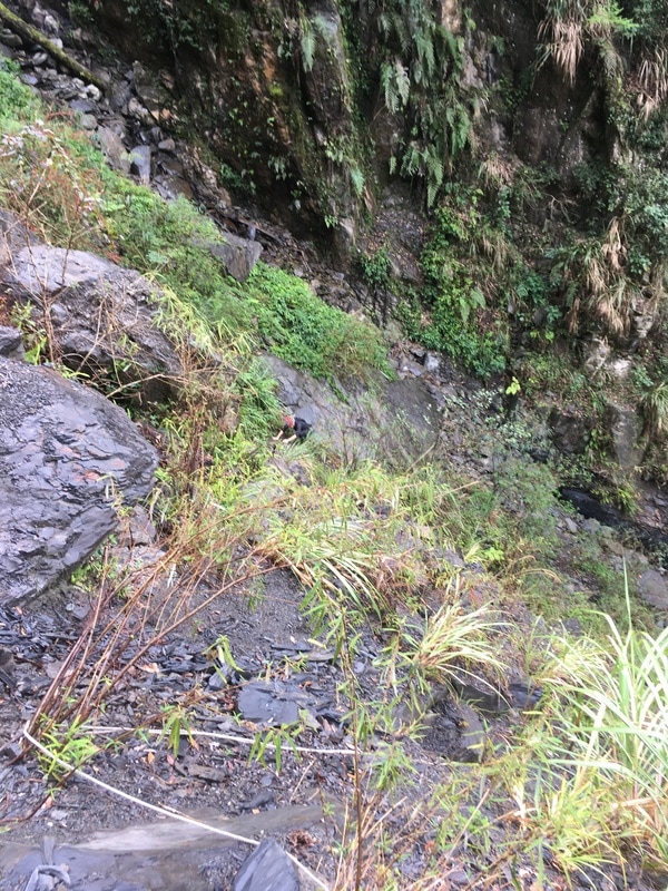
We went the wrong way into a large landslide area.
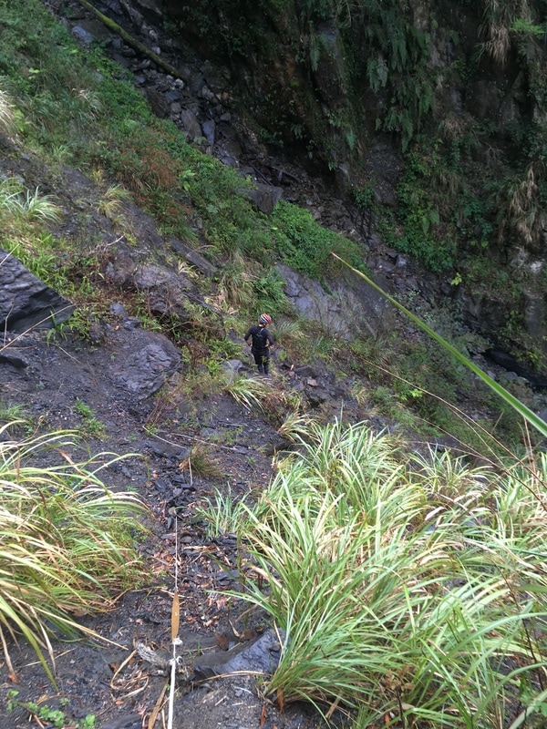
I found myself clinging to the slope while my companion descended to investigate, trying to locate a path buried among stones and vegetation.
Watching him, I could only think that even if he found a way, I might not be able to follow.
Fortunately, the actual route went higher around the damaged area.
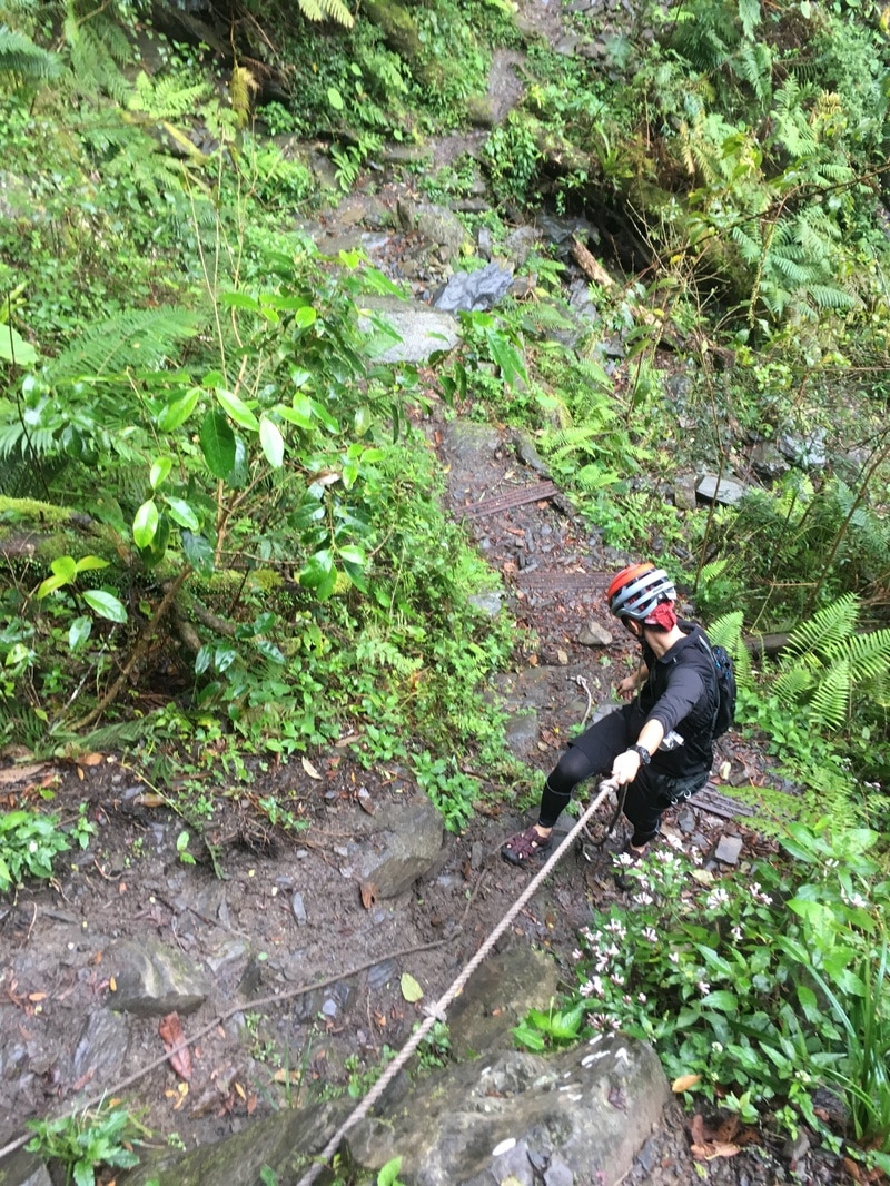
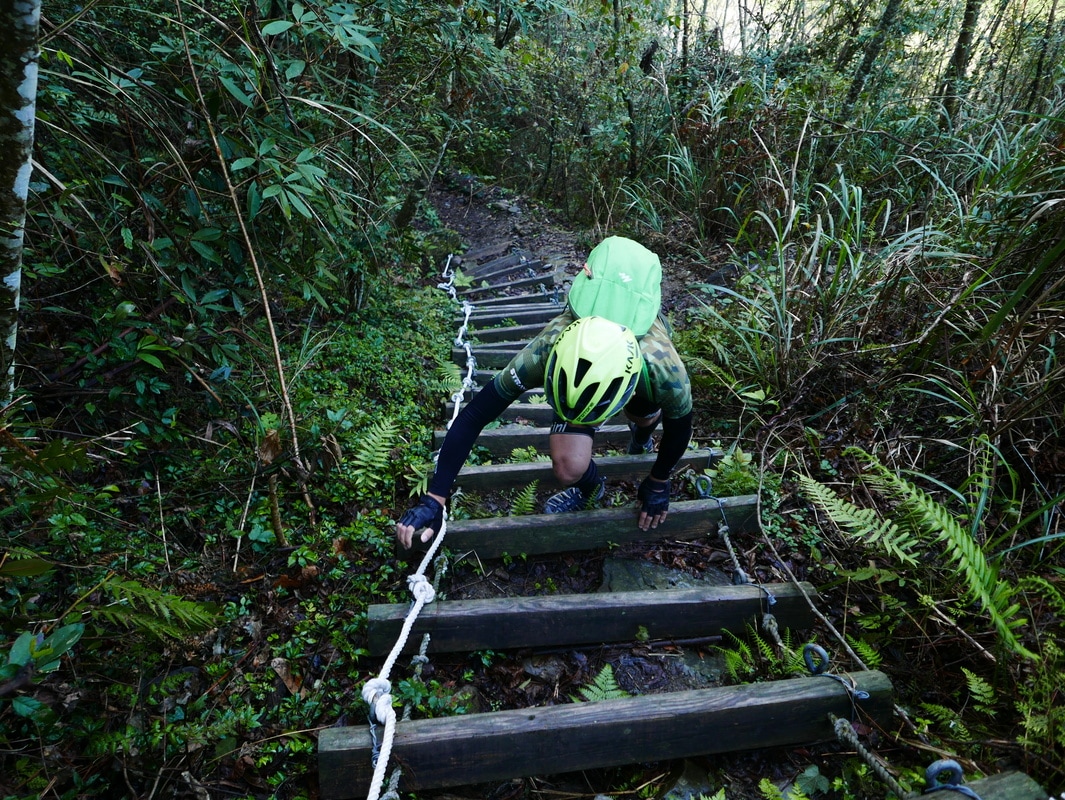
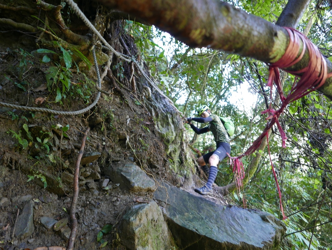
Even there, however, we encountered a section where a rope accompanied exposed rock steps protruding from the slope.
I was frightened almost beyond words.
At that moment, I thought I might prefer sticking to routes I could actually ride in future.
This was not a technique to imitate. Unstable ground and exposed traverses can remain dangerous even where other travelers have passed or a rope has been left.
Baishi Suspension Bridge
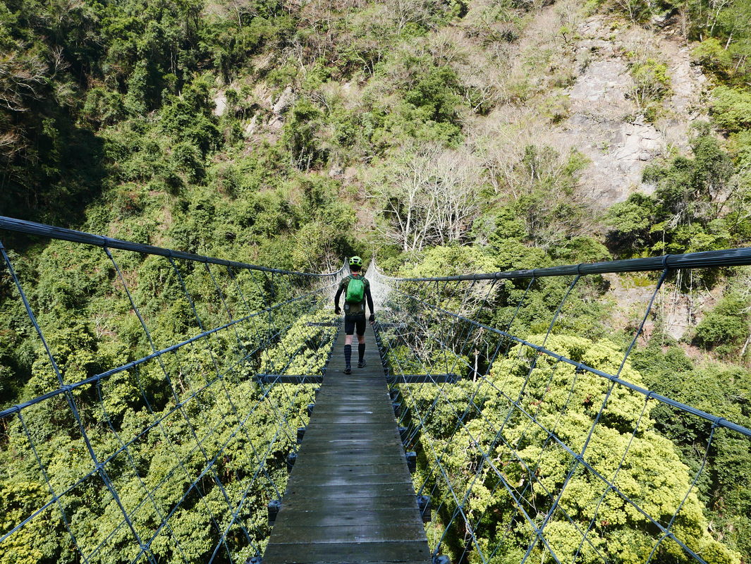
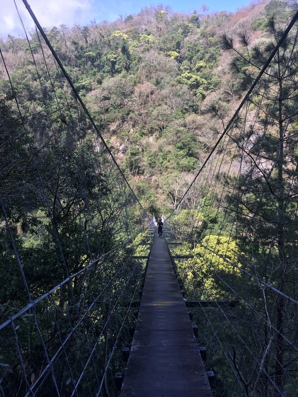
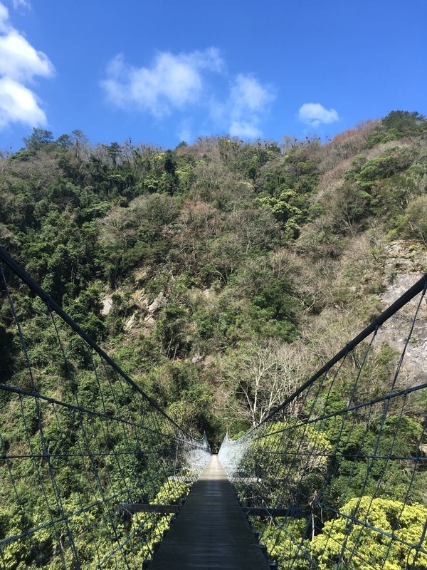
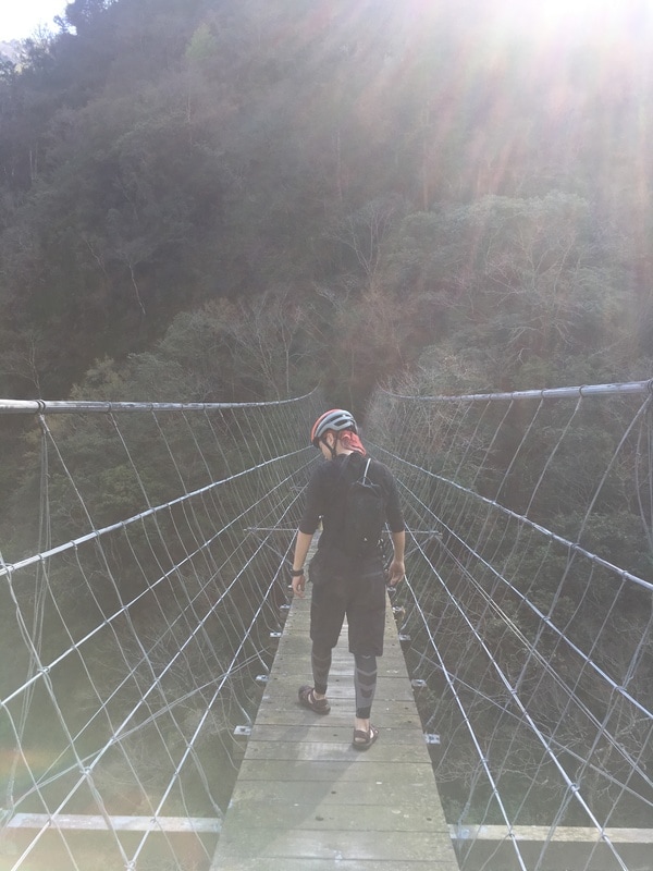
Eventually, we reached the bridge.
Seeing it suspended between the steep sides of the valley made a powerful impression. At the time, I felt rewarded for the effort, although reaching a beautiful destination does not justify the risks taken to get there.
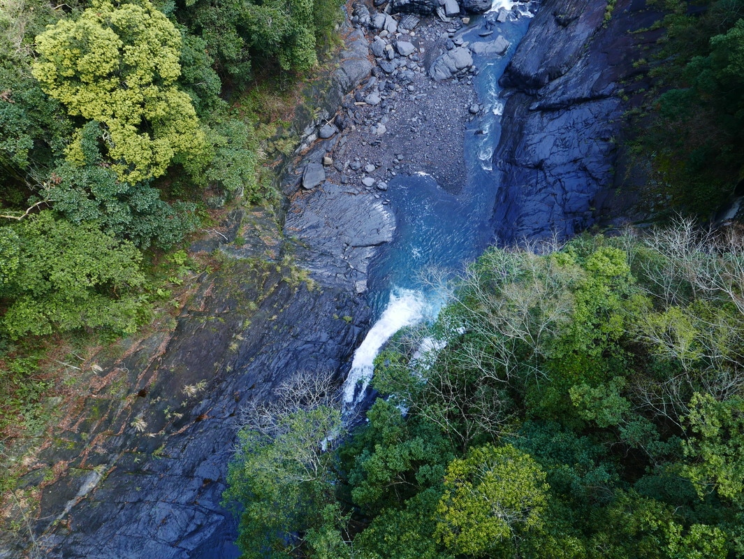
The original account dated the first construction to 1921 and gave a length of 145 meters and a height above the valley of about ninety meters.
I struggled to imagine how people had built such a bridge in those mountains so long ago.
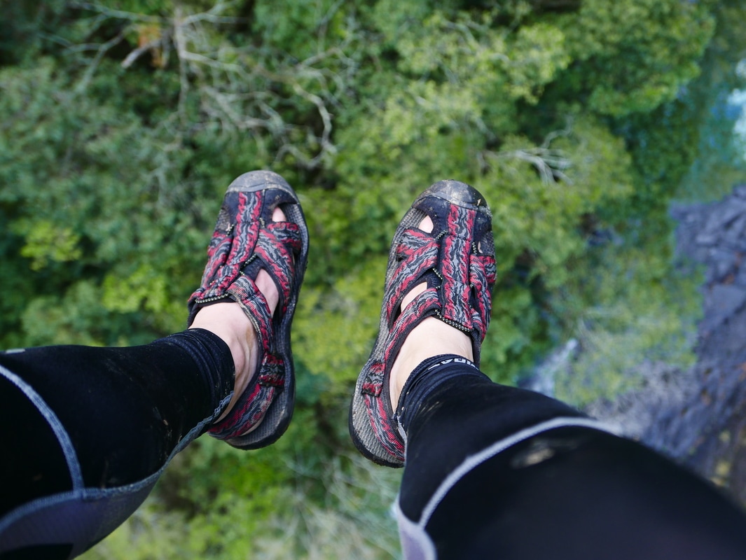
I am somewhat afraid of heights. After the landslide sections, though, the bridge felt comparatively comfortable.
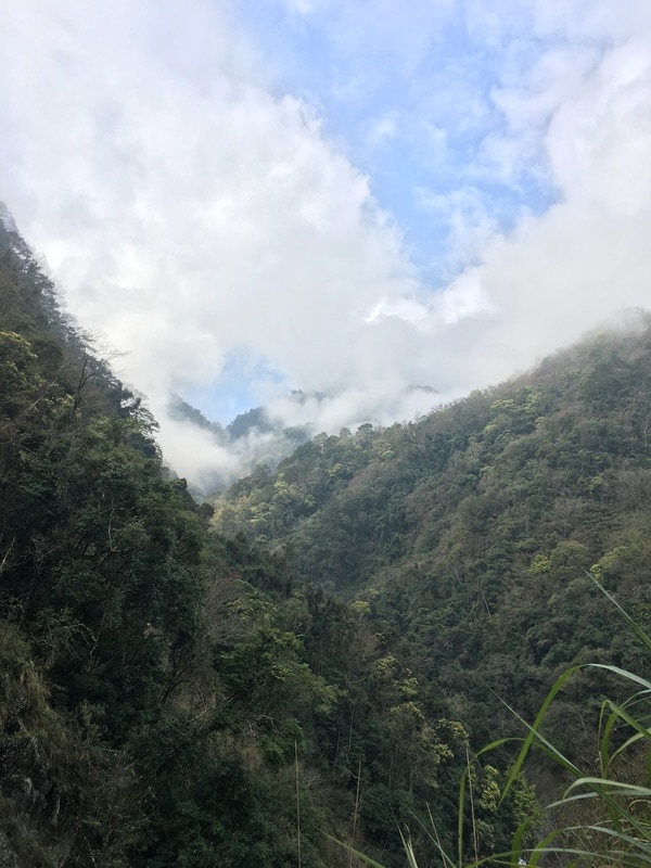
I paused there in the sunshine reaching into the valley, with the stream sounding far below.
Despite everything, I found myself thinking that I would probably return.
Bikepacking diary: Facebook