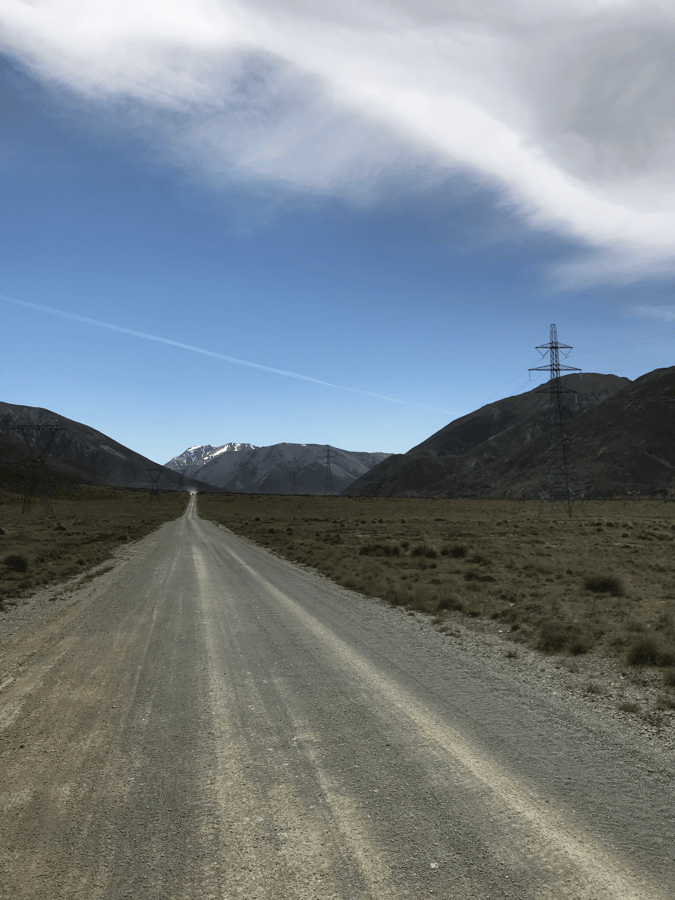
St James Cycle Trail | Three Days of Bikepacking in New Zealand
Translated from Bikepacking diary’s original St James Cycling Trail article, published on April 1, 2020, and republished by arrangement with the author. Photographs are linked directly from the original website.
Editor’s note: This historical account is not a current navigation or safety guide. Distances are the author’s estimates, and the author rode opposite the direction usually recommended at the time. Check current official access, trail grades, river conditions, weather, hut and campsite arrangements, fees and booking requirements before departure. Remote riding requires appropriate skills, navigation, emergency communication, food reserves and water treatment. A past river crossing, campsite choice or daily distance does not establish that the same choice is safe or permitted now.
The Trail That Made Me Fall in Love with New Zealand
St James Cycle Trail was a small loop near my planned route, only about 60 kilometers long. I never expected those kilometers to become the happiest part of my New Zealand bikepacking trip, or the reason I fell completely in love with the country.
After riding the Molesworth Trail, I rested in Hanmer Springs for a few days and bought supplies. My next plan was Rainbow Station Road, but its winter closure had not yet ended; the information I had suggested an opening in early December. Rainbow Station was private farmland, and I did not want to enter without permission. I chose my alternative: St James.
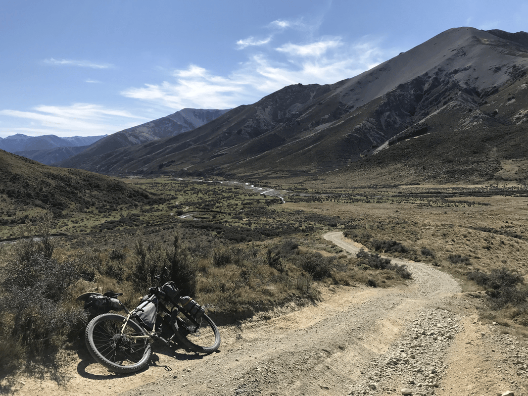
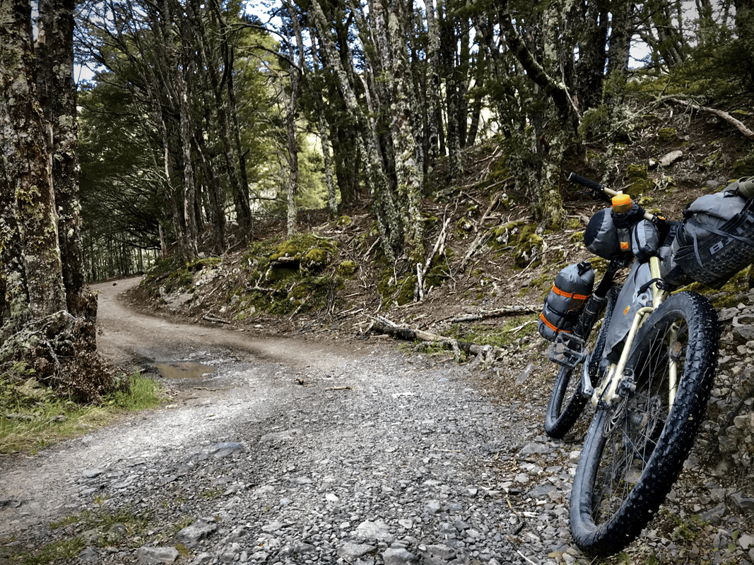
The magazine I used placed St James, Molesworth and Rainbow Station Road in its highest difficulty category. But St James felt different. Rather than simply joining two places, it followed backcountry tracks used for mountain biking, walking, horse riding and, on some sections, four-wheel driving.
To me, it was much rougher and harder than Molesworth, but also more interesting, both in the riding and the scenery. After experiencing St James, ordinary gravel roads through farmland did not have quite the same appeal.
Planning for Slow Progress
In three days, I met only two people. Carry enough equipment and food. My original equipment list gives an idea of what I took, though any trip needs its own planning.
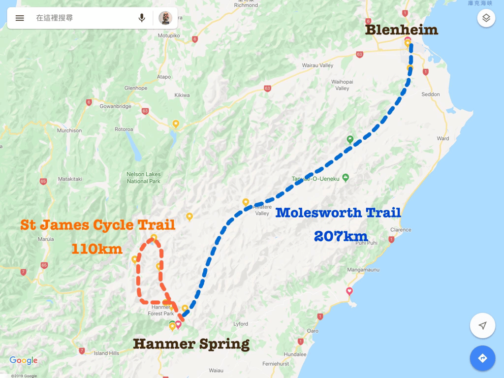
The trail itself was about 59 kilometers, but including the journey back to town made my overall itinerary roughly 120 kilometers. With almost no mobile reception and no useful trail detail on Google Maps during my trip, the distances in this account are approximate.
This was rough country. Some days, progress might amount to only twenty-something kilometers. Do not plan it with road-cycling distances in mind. Take enough food and equipment for the conditions and possible delays.
I rode opposite the generally recommended direction, which I understood meant more climbing. My approximate itinerary was:
- Day 1: Hanmer Springs to Scotties Hut, 33 kilometers.
- Day 2: Scotties Hut to Lake Guyon, about 27–28 kilometers.
- Day 3: Lake Guyon to Maling car park, then Hanmer Springs, about 60 kilometers.
Day 1: Hanmer Springs to Scotties Hut
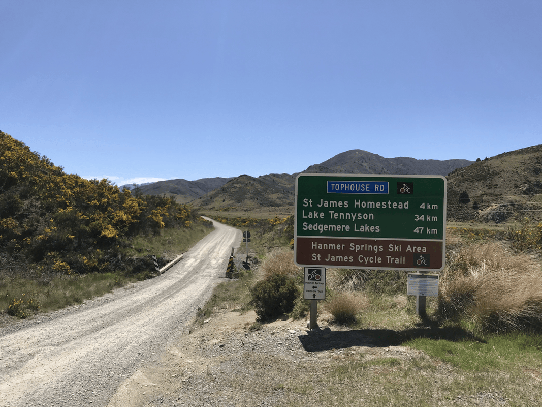
Reaching the trail from Hanmer Springs meant first finding Jacks Pass Road. Despite checking with the campground owner, I still went the wrong way.
As soon as I began pushing, I wondered whether the road was too rough to be correct. But I did not want to mistake my own weakness for a navigation problem, so I persevered, straight into a dead end.
Fortunately, the day’s planned distance was short. I descended and found the right route. It was the road shown for cars on Google Maps. I had initially rejected it because I assumed a road cars could use would be paved, unlike the magazine’s description. Before long, its asphalt turned to gravel. New Zealand’s roads had taught me another lesson.
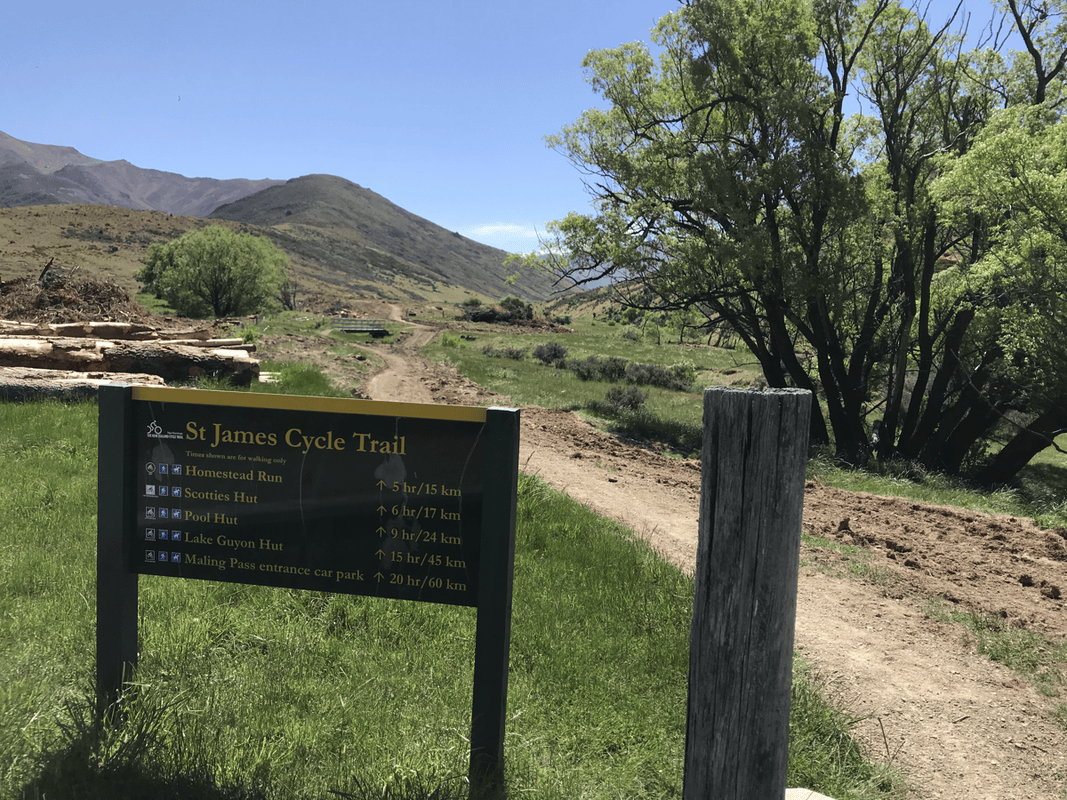
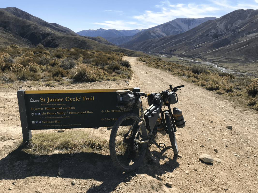
My plan had been to stop at the trail entrance at St James Homestead. The magazine mentioned accommodation and even meals. A local map, however, showed only toilets and an information board. That discrepancy worried me.
When I arrived, it did not look as though I could stay there. It was only a little after three, and Scotties Hut was another 17 kilometers away. With the long daylight hours, I thought I could continue. I adjusted my expectations and rode on.
Singletrack and Wet Shoes
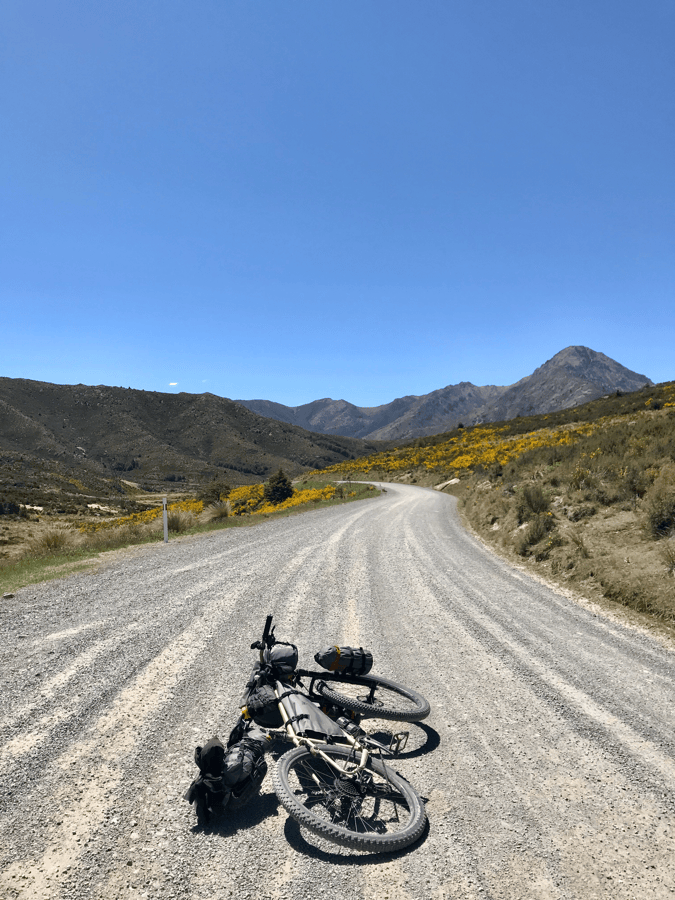
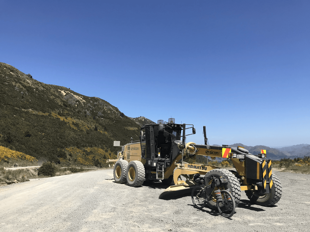
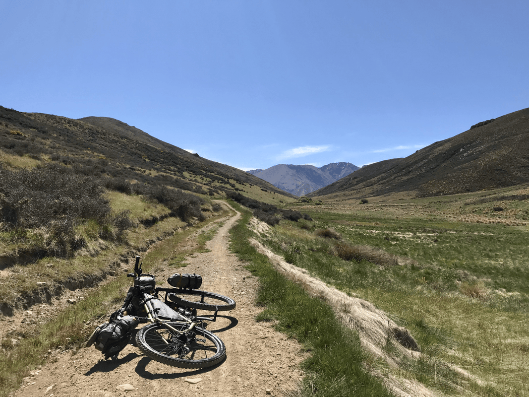
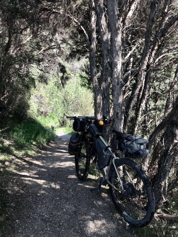
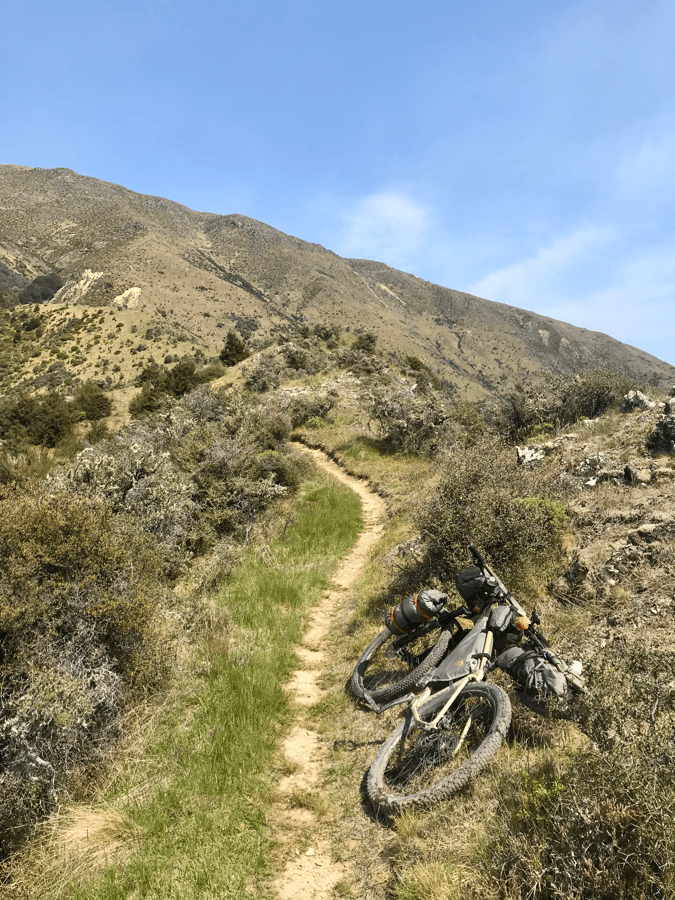
Molesworth had followed gravel roads that vehicles could use. St James included walking and mountain-bike sections, adding plenty of singletrack and much more variety.
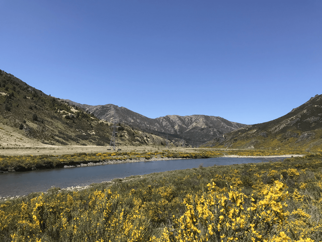
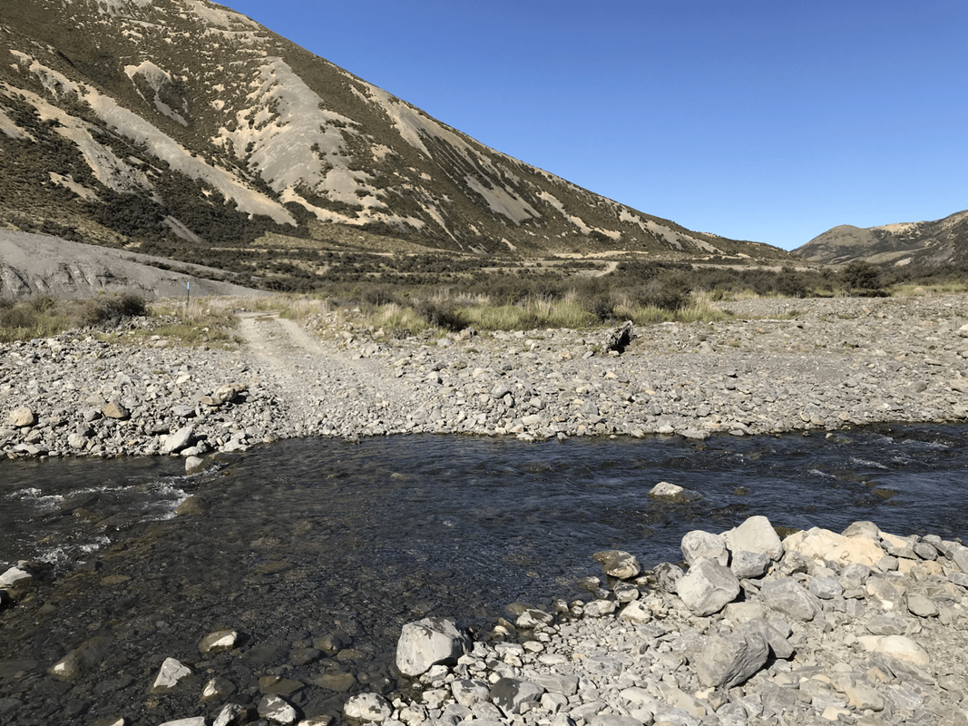
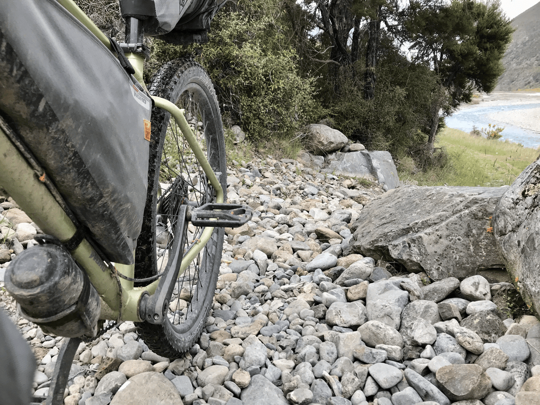
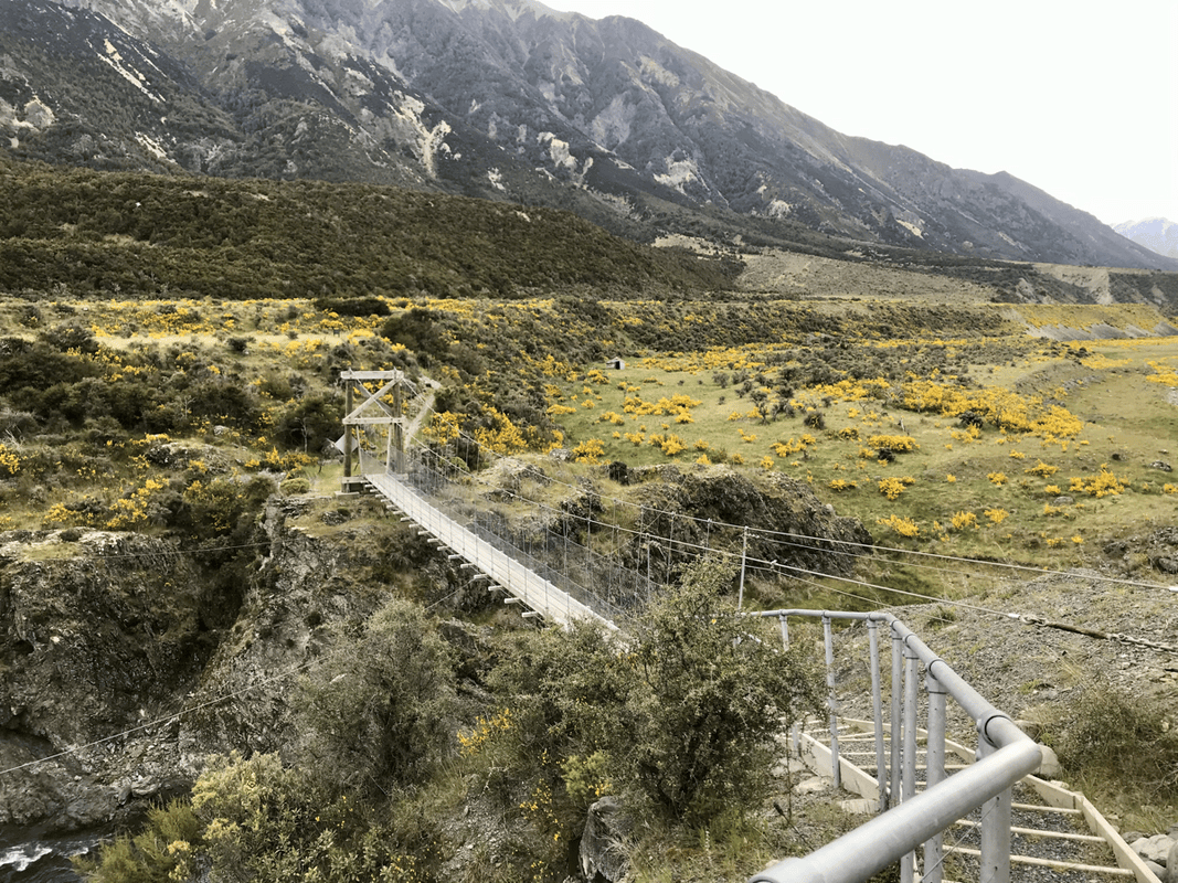
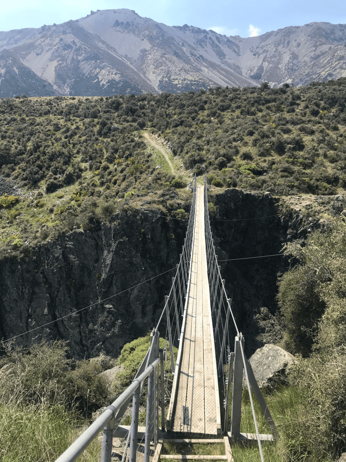
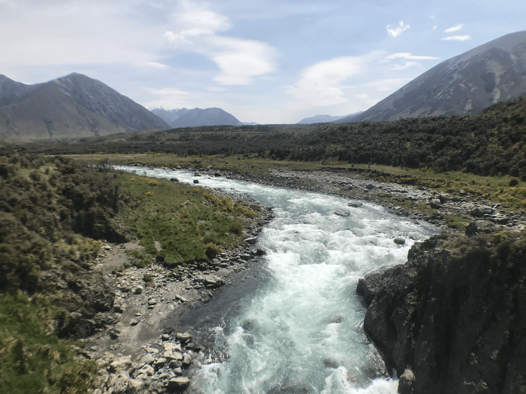
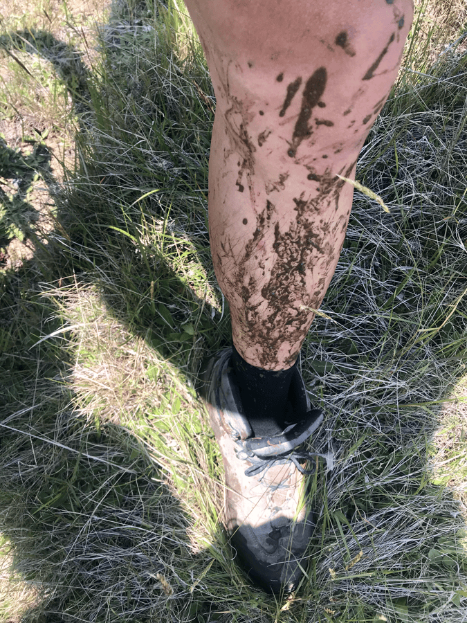
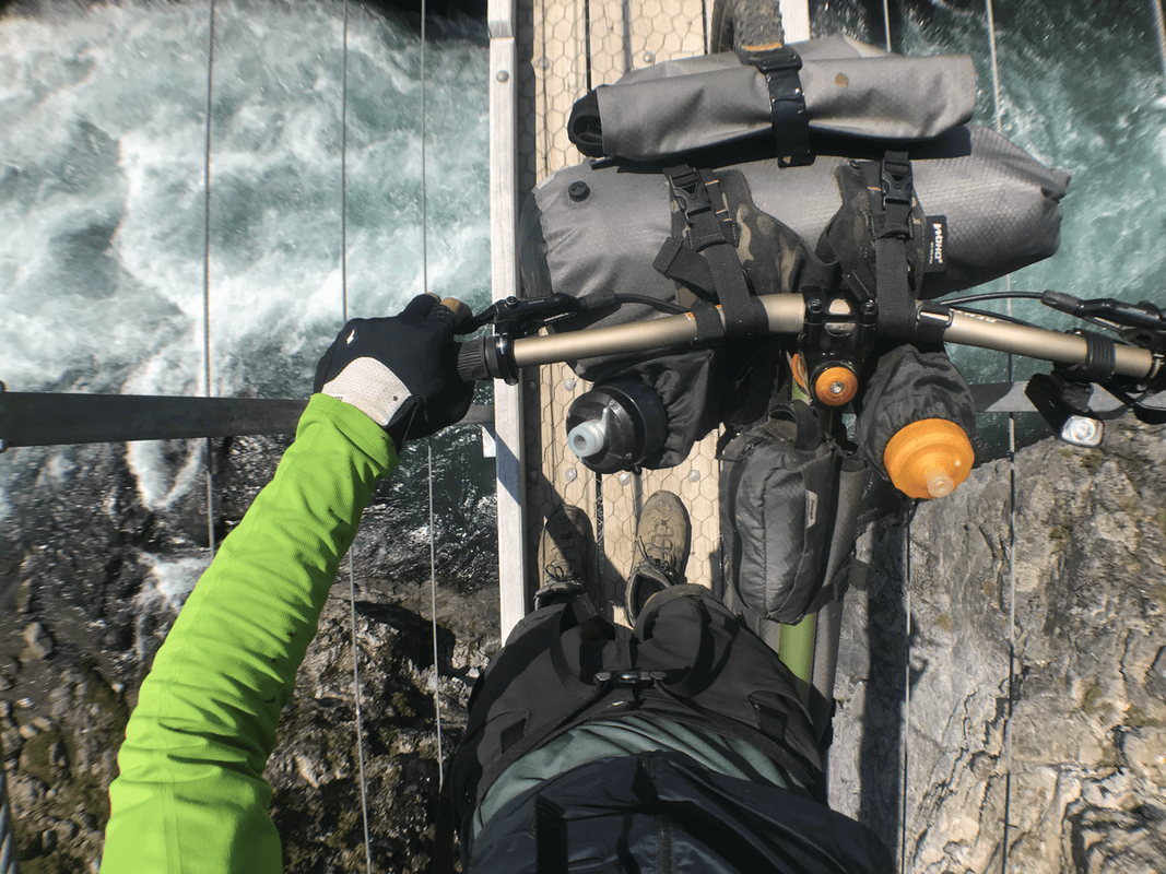
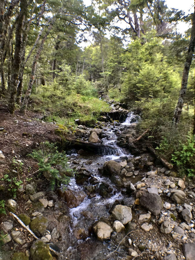
The portions shared with four-wheel-drive tracks involved repeated stream crossings. I lost count over those 17 kilometers. It was exciting, but my shoes were completely soaked. In the heat, I wished I had chosen different footwear for the wet conditions.
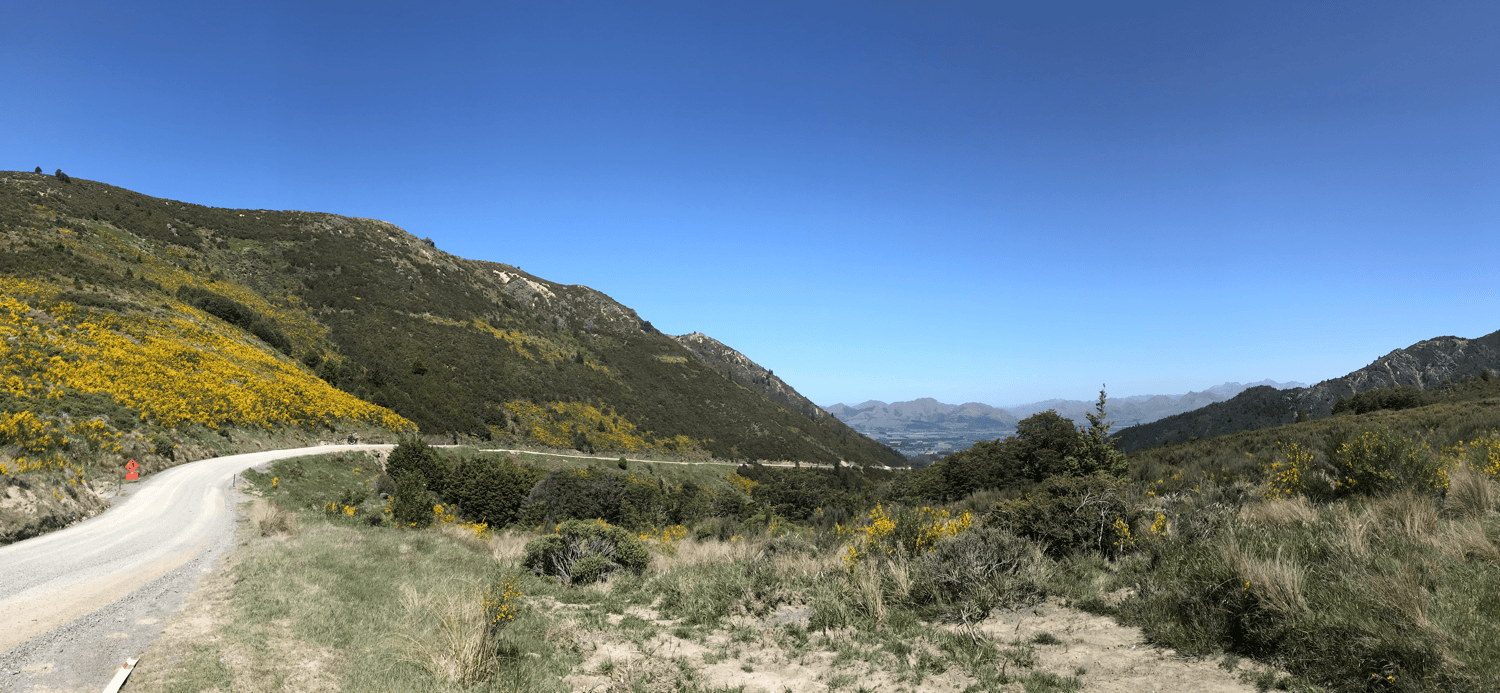
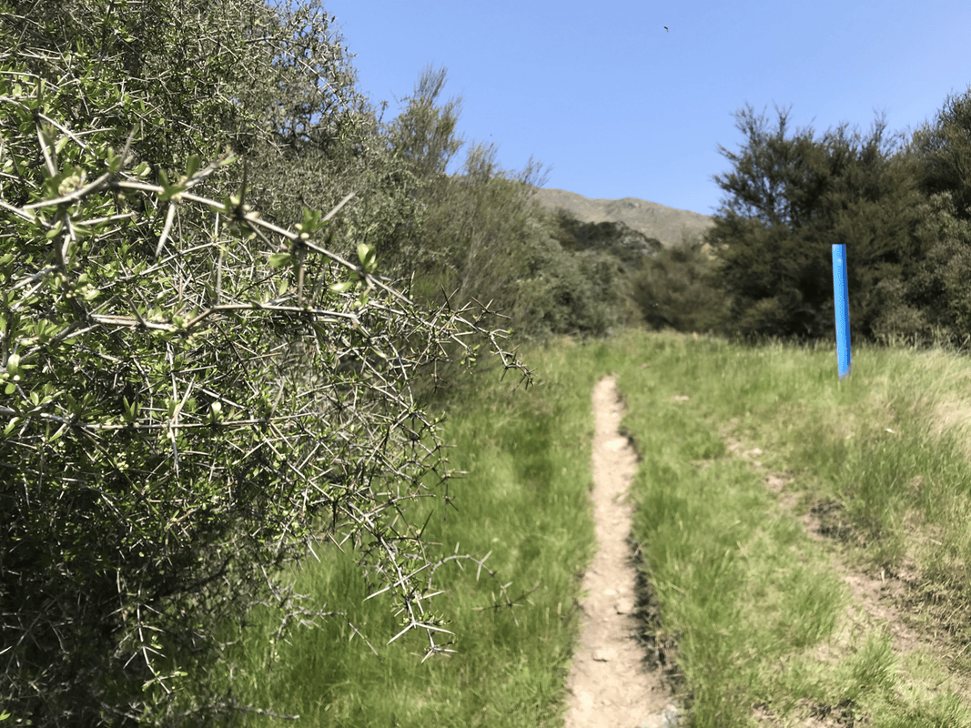
Some descents felt serious to me. Even on sections labeled intermediate, I was braking firmly and creeping down. If that was intermediate, what would advanced feel like? The thought was unsettling.
Just as I began wondering whether I would ever arrive, a hut appeared. I shouted with delight. In that empty valley, perhaps only the surrounding wildlife heard me.
A Hut to Myself
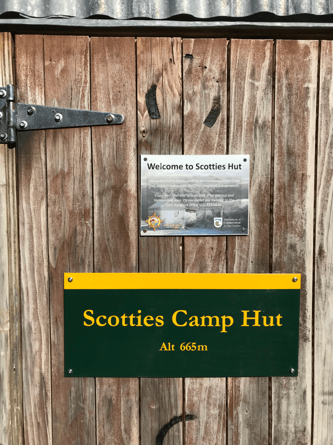
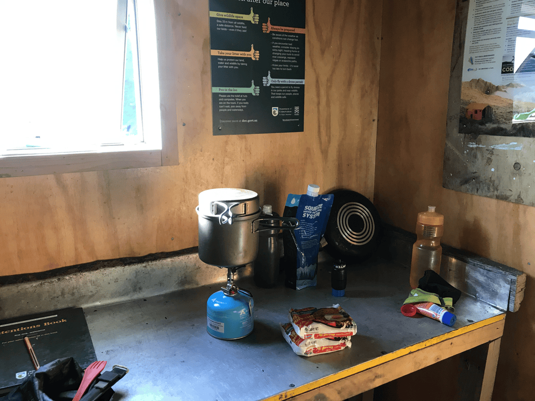
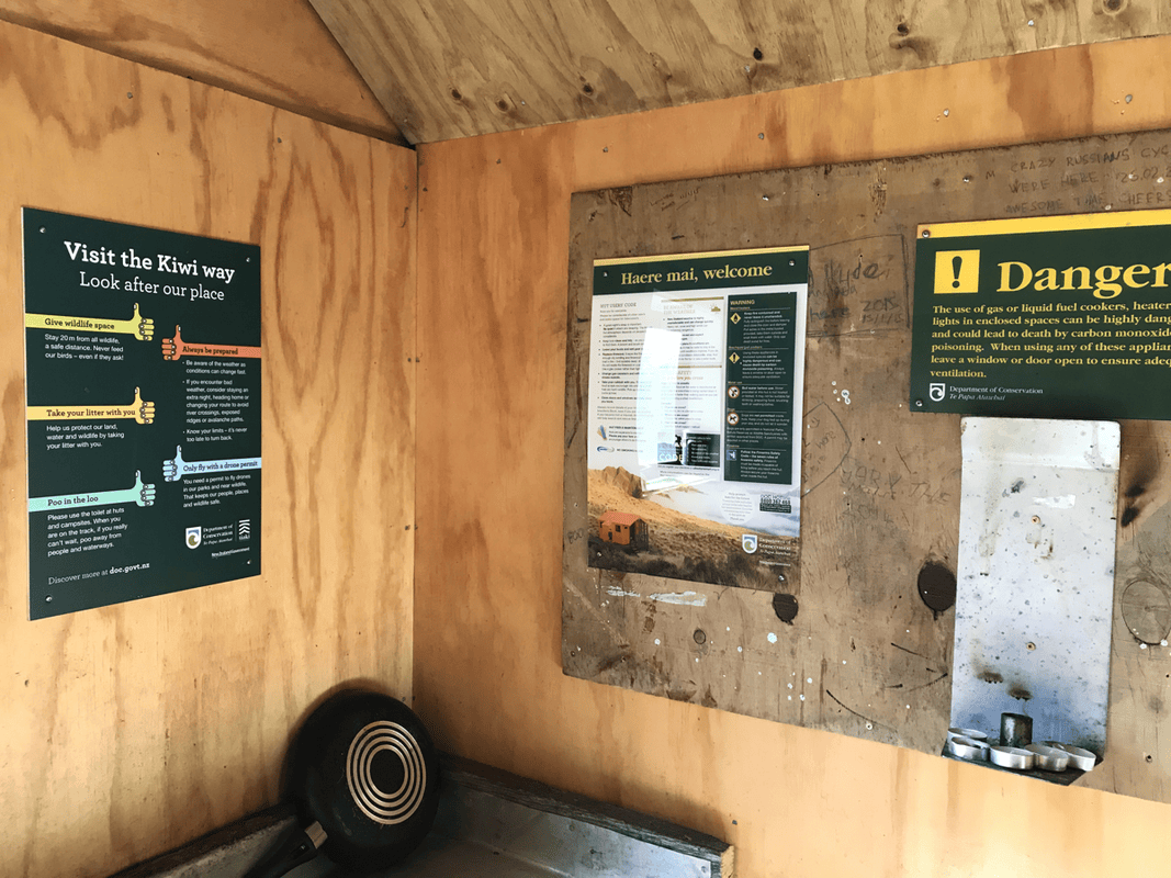
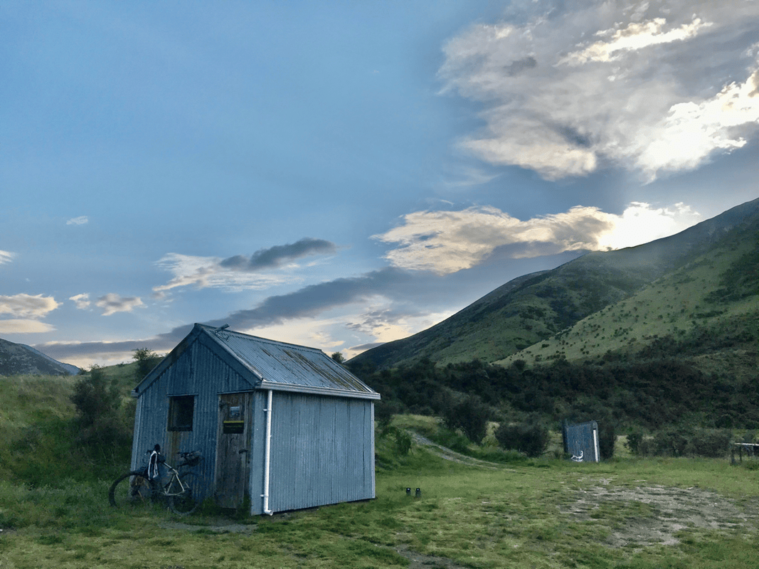
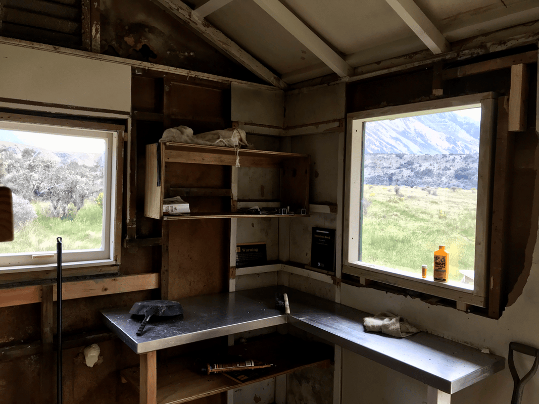
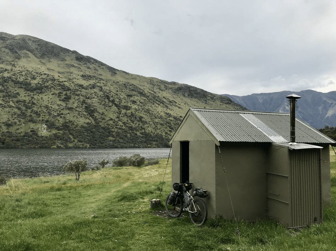
Scotties Hut was maintained, according to the information I encountered, by the Department of Conservation and a four-wheel-drive club. It reminded me of a mountain hut back home.
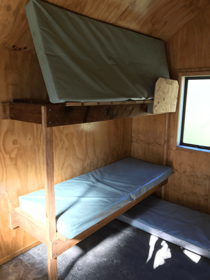
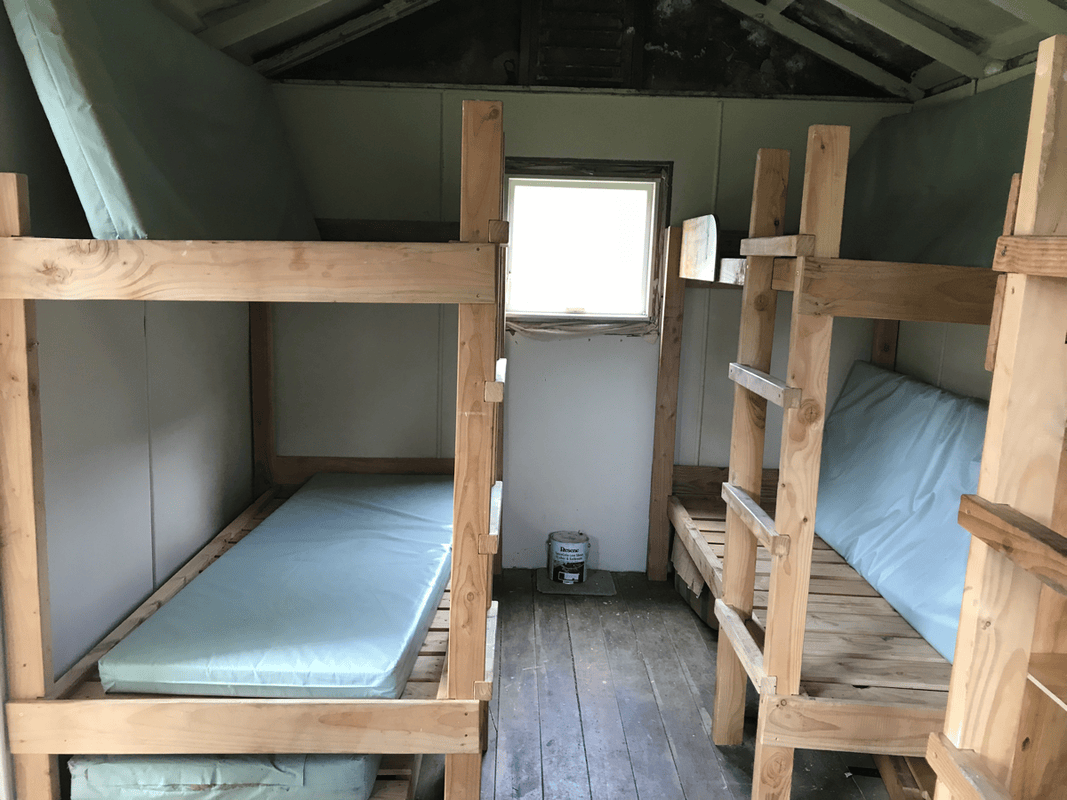
Huts had different categories, facilities and charges. This one was in the most basic category, with shelter, bunks and a toilet, and was free at the time.
I had often seen overseas bikepacking blogs showing riders staying in little buildings deep in the mountains. Now I understood what those places were.
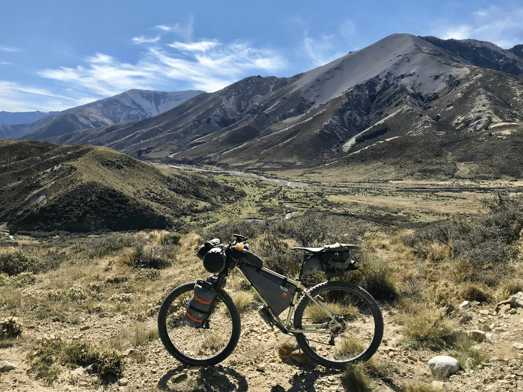
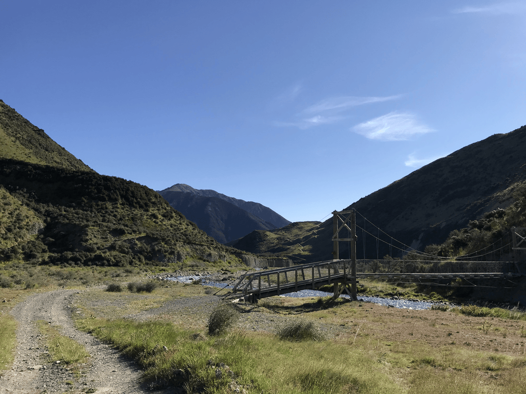
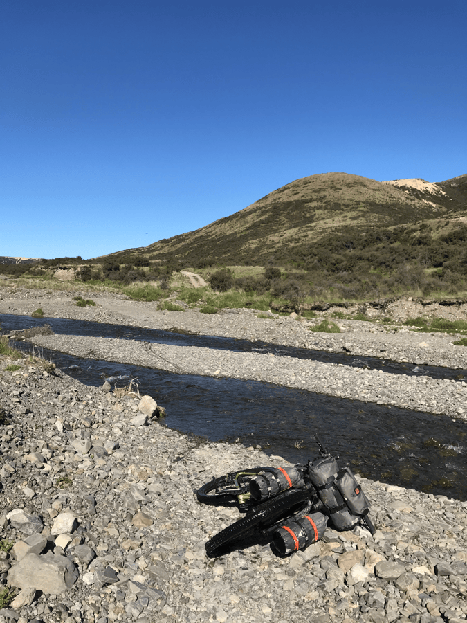
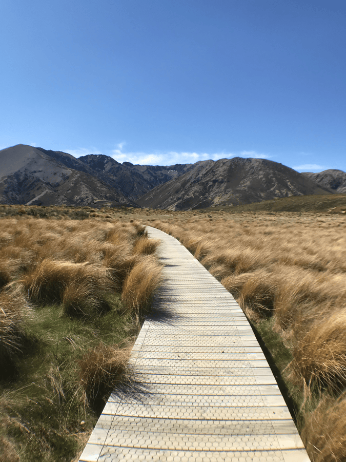
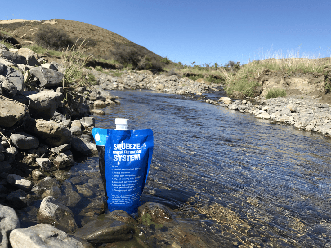
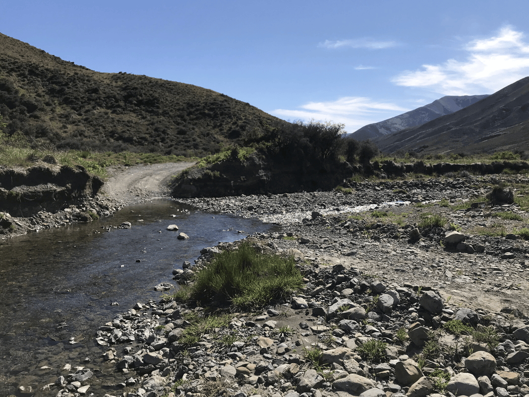
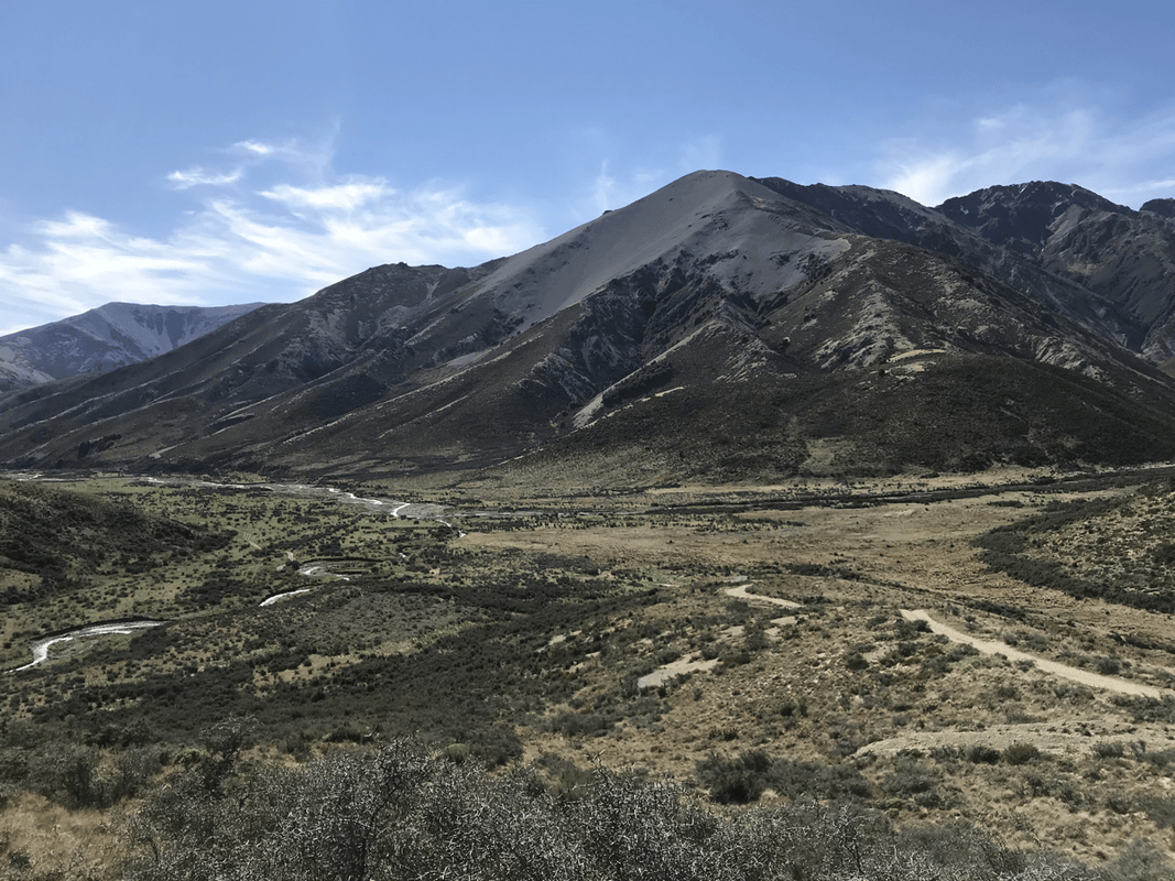
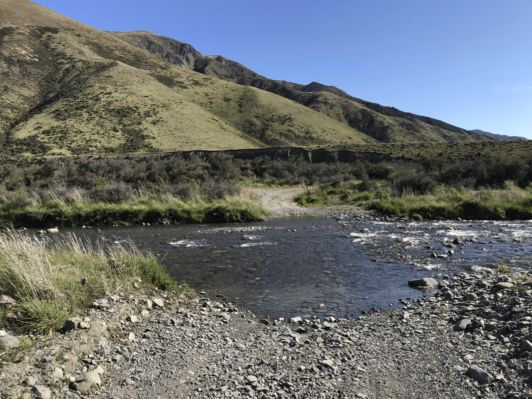
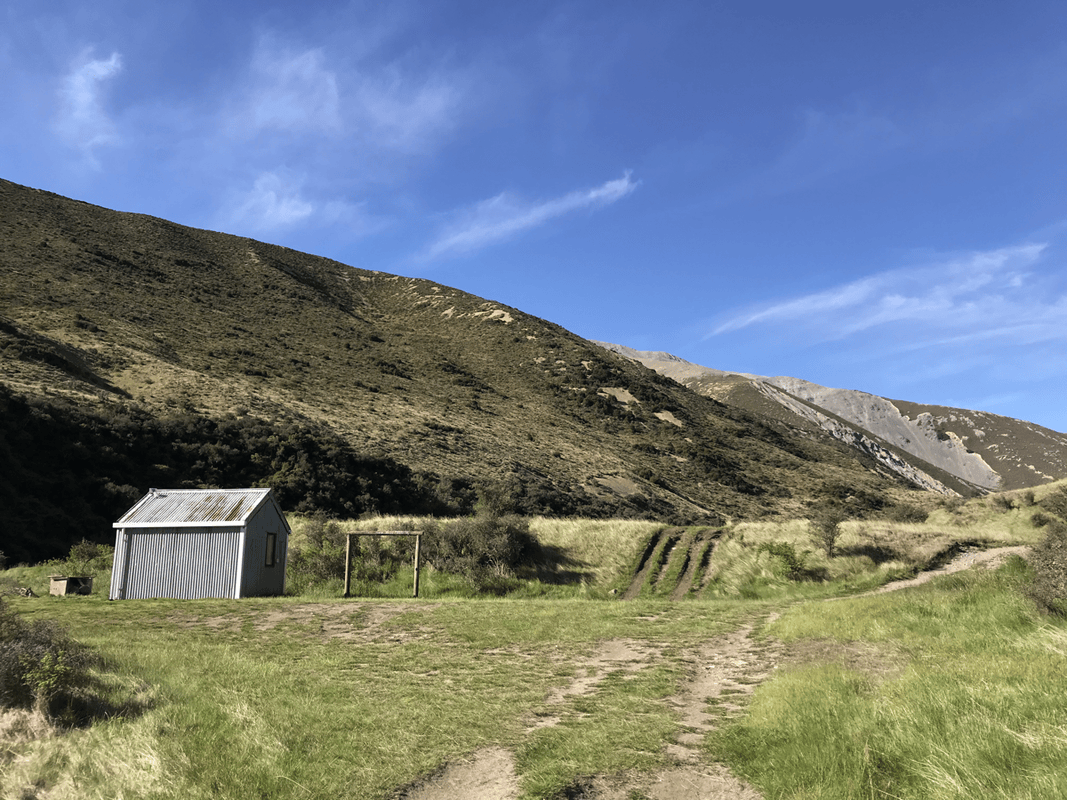
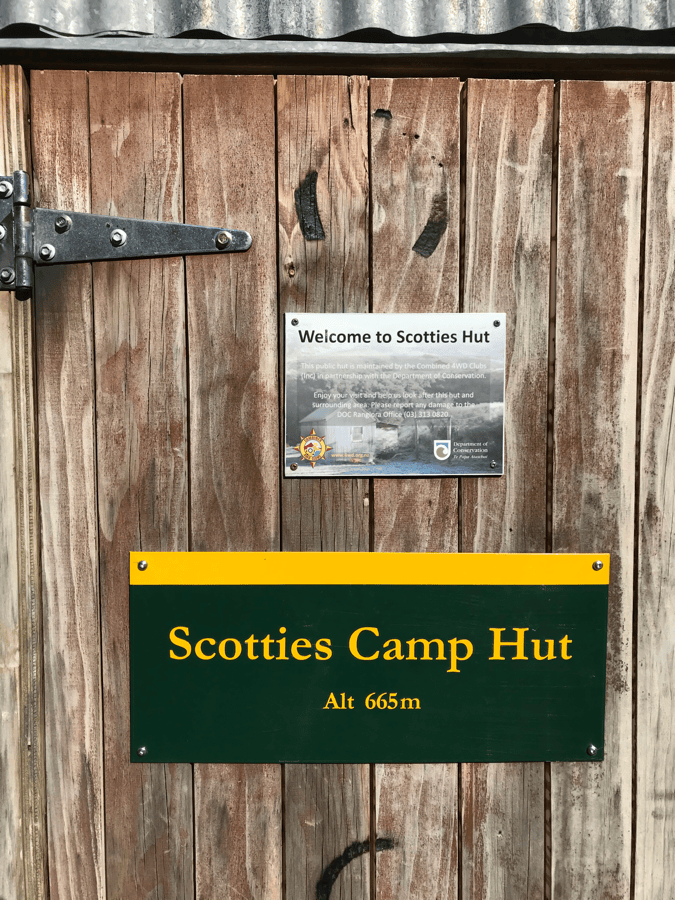
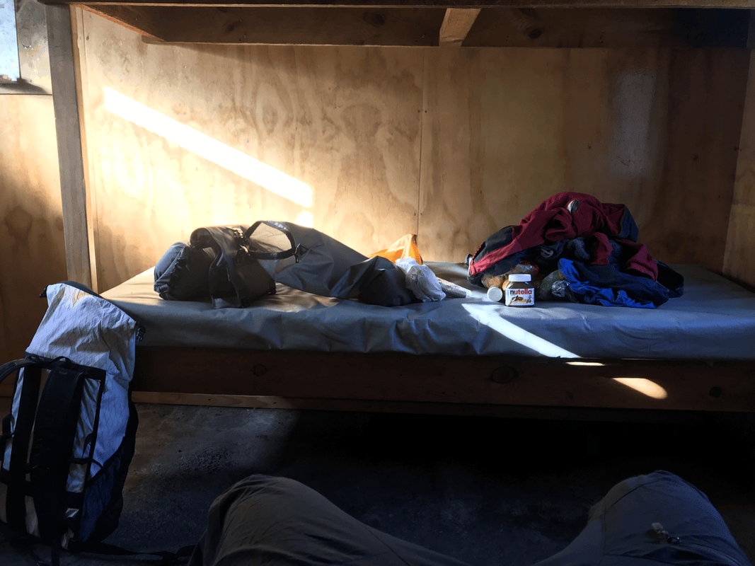
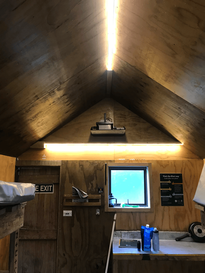
Basic though it was, this hut gave me everything I needed. A stream was a short walk away for collecting water. Inside were four bunks, apparently all mine for the night.
There was even an LED light bright enough to illuminate the whole room. I guessed its power came from solar panels. I was impressed. Charging facilities and an internet connection would have made it perfect, but expecting those in the mountains was asking rather a lot.
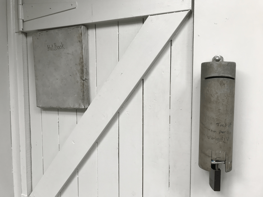
I looked through the visitors’ book. The entries I saw used Western names, and I was the first in that book to sign in Chinese. I wondered whether I might be the first Chinese-speaking visitor to sign that year.
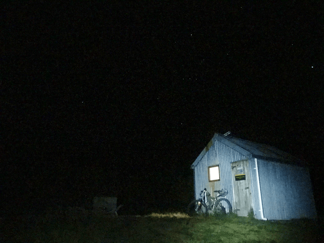
The stars that night were beautiful. Apart from my own light, there was nothing to interrupt the darkness. I was glad to have a camera.
Day 2: Scotties Hut to Lake Guyon
My alarm woke me at seven. Even inside the hut, I could feel the chill of a backcountry morning. Long sleeves and trousers seemed a good idea.
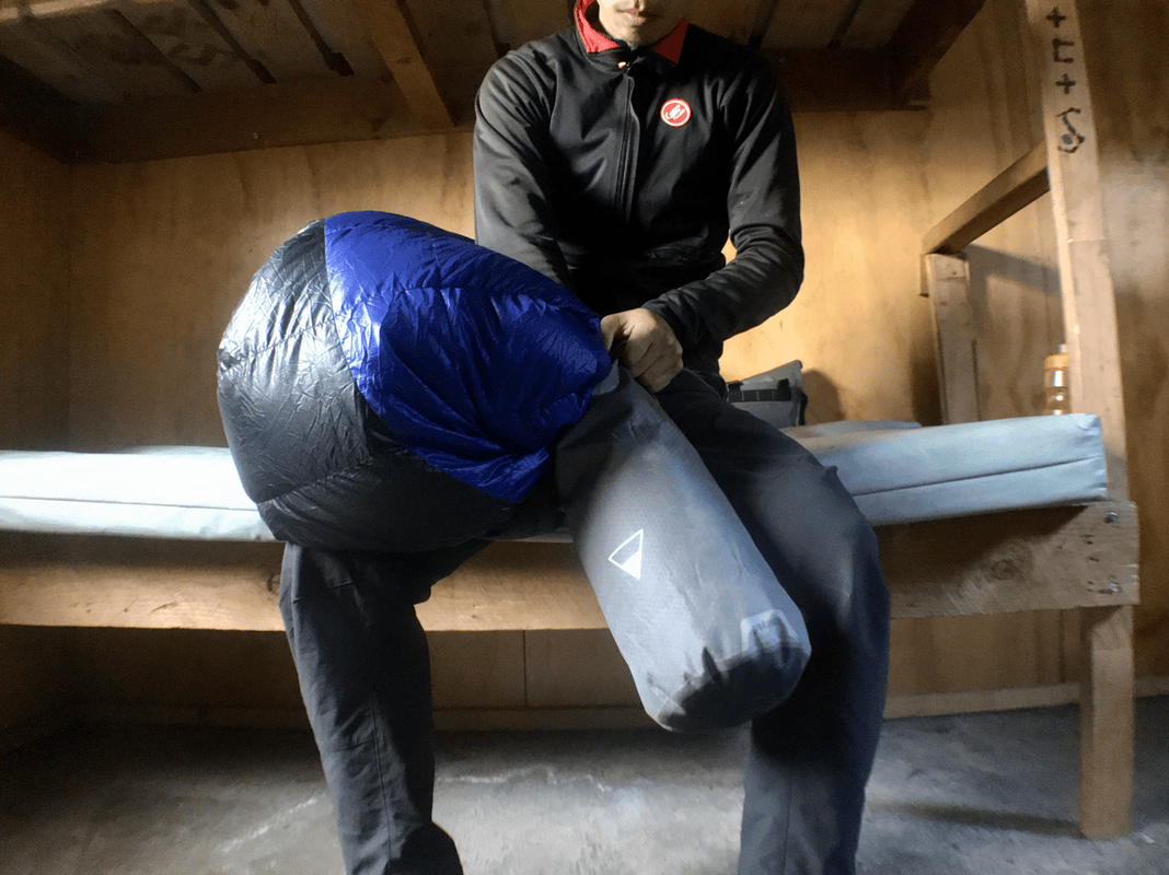
One advantage of a hut was not having to pack a tent. After putting away my sleeping bag and mat, I set off.
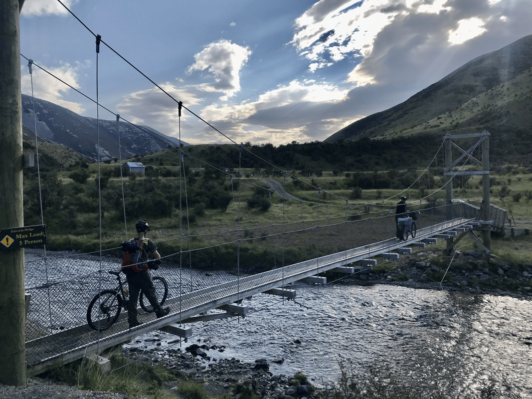
Almost immediately, I spotted two cyclists coming the other way. Delighted to see people, I waved. We spoke after crossing the river.
When I said I was heading to Lake Guyon, one replied that it was a long way and that they had not completed it. Their location seemed to suggest they were nearly finished, so perhaps I misunderstood.
He kindly asked how many days I had planned, whether I had enough food, and whether I carried insect repellent. Clearly, I was not alone in disliking sandflies. New Zealand was wonderful, but those tiny biting insects could be maddening.
Two Climbs and Two Valleys
We said goodbye and continued in opposite directions. The “long way” ahead was roughly 28 kilometers. I knew progress would be slow, but with so much daylight, surely twelve hours would be enough?
Almost as soon as I thought that, a steep slope forced me off the bike. These climbs were no joke. If someone could ride all the way up without pushing, I would have liked to see it.
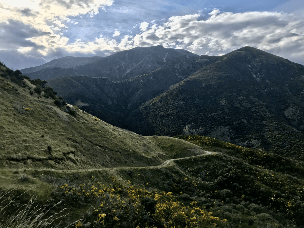
Fortunately, the first climb was not especially long. After about thirty or forty minutes of pushing, I reached the top. A short traverse along the mountainside led into the next valley.
My descents had become faster over the previous few days, not because I had suddenly become more skilled, but because I knew how slowly I climbed. I concentrated carefully on each descent, trying to make steady progress without rushing beyond my ability.
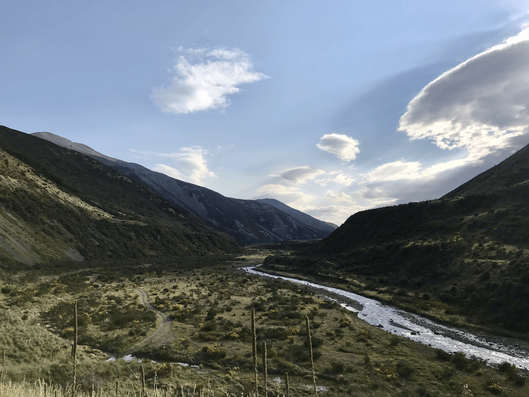
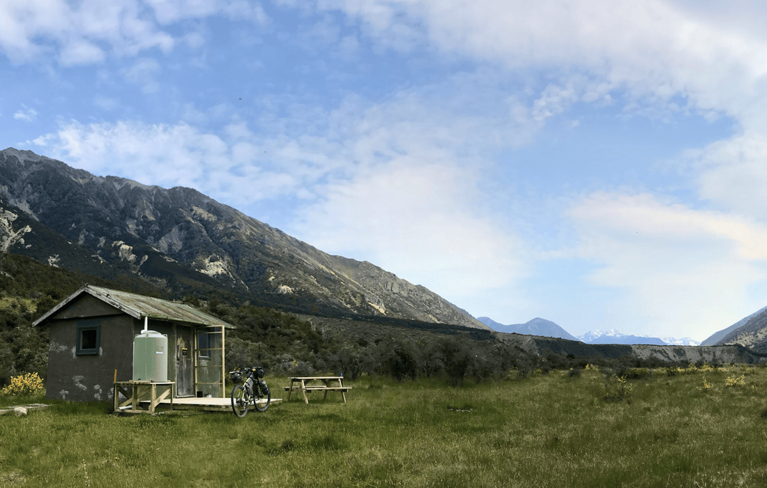
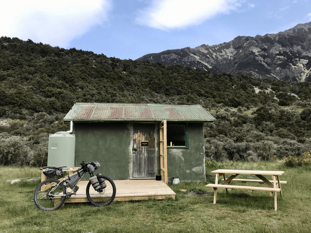
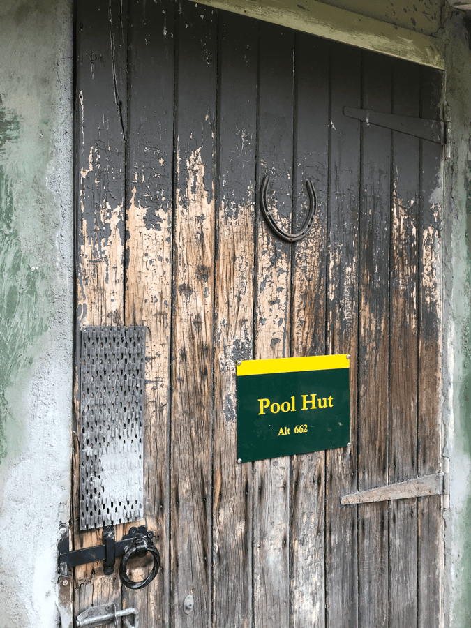
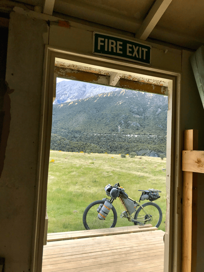
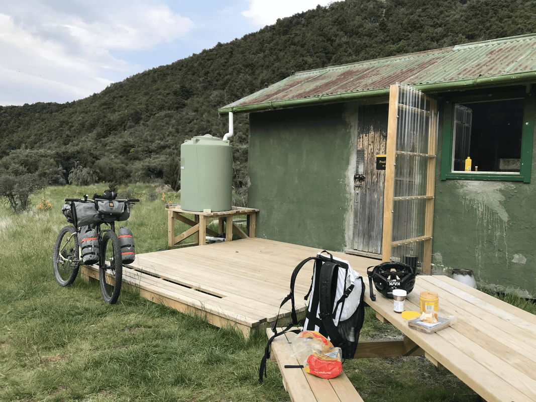
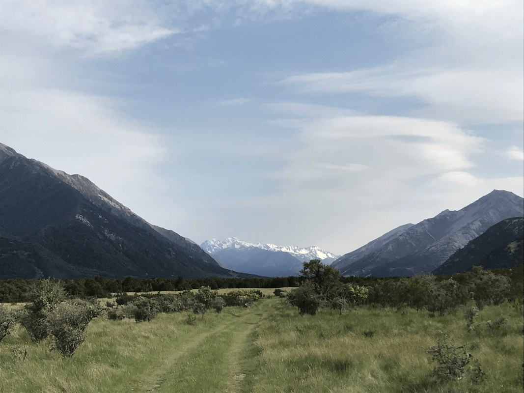
The day could be summed up as two hills and two river valleys. The first valley was shorter and contained Pool Hut, another possible overnight stop. It looked better equipped than the previous night’s hut, with a water container beside it and snowy mountains right in front.
It was too early in the day for me to stop, so I rested, ate a snack and continued. At that point, seven kilometers had taken around an hour and forty minutes. Slow, yes, but I was not yet worried about finishing before dark.
A Hard Push with a Wonderful Reward
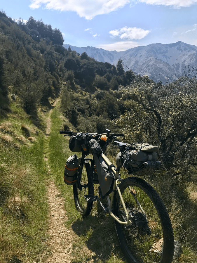
Behind the hut came the steepest climb of the day. It felt like a hiking path on which someone had decided to take a bicycle, or rather, push one.
Often I could manage only three steps before stopping for breath. For me, this was simply not rideable.
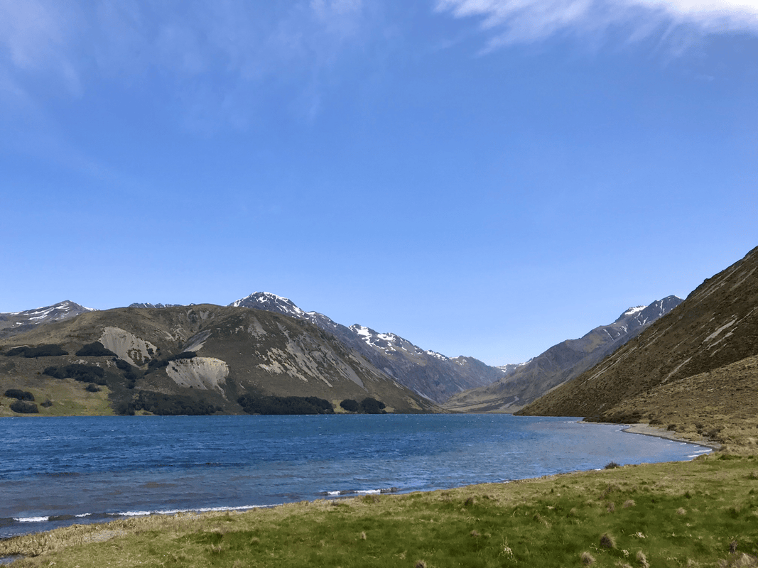
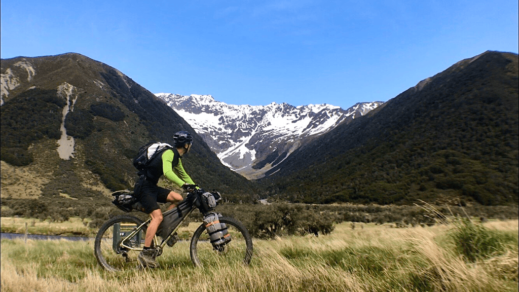
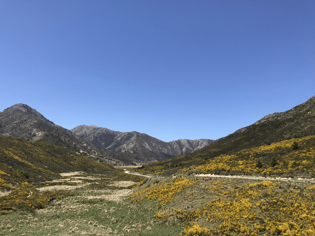
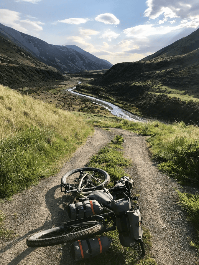
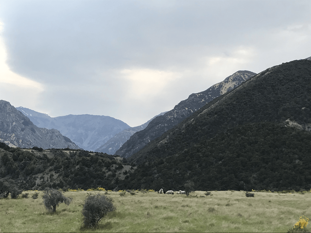
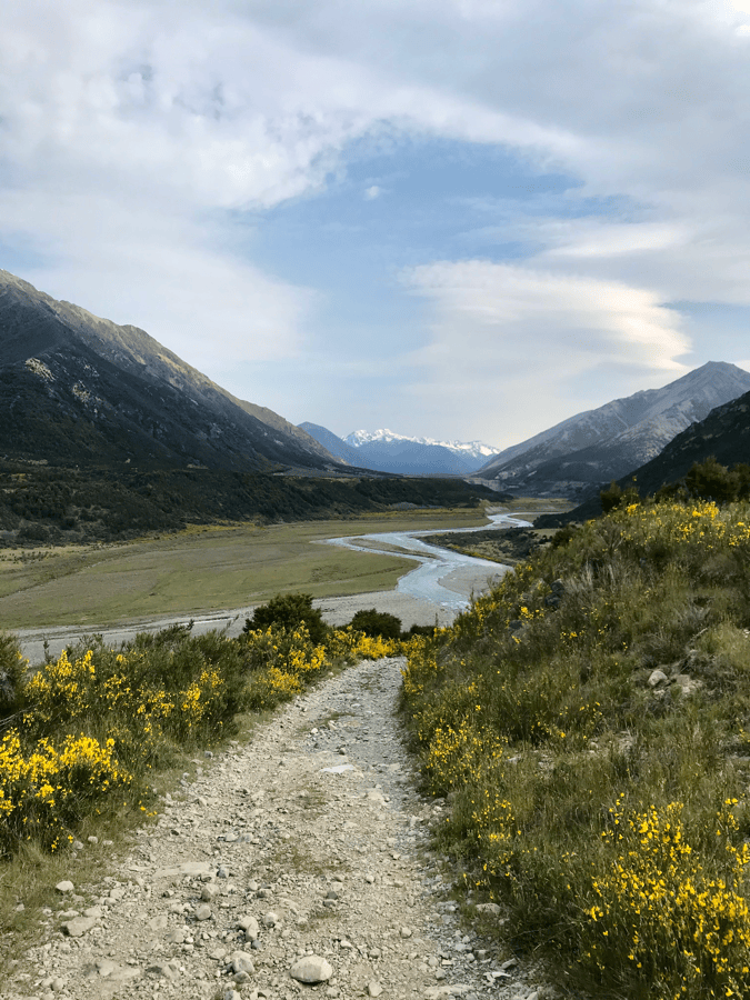
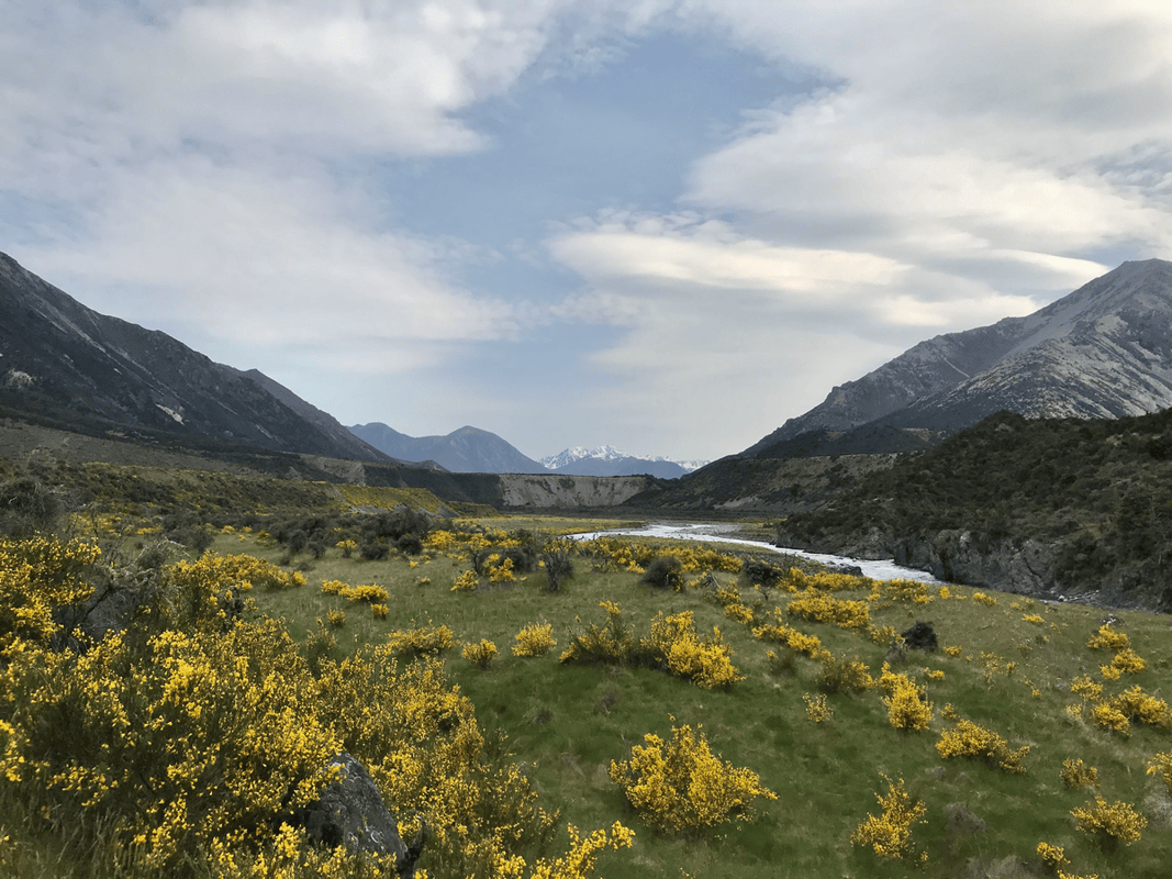
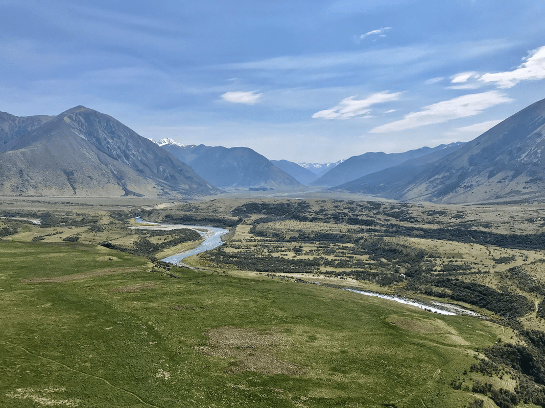
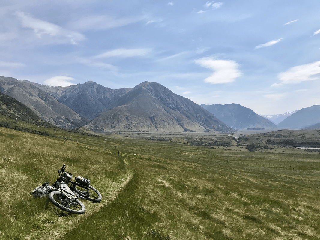
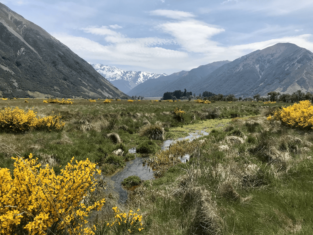
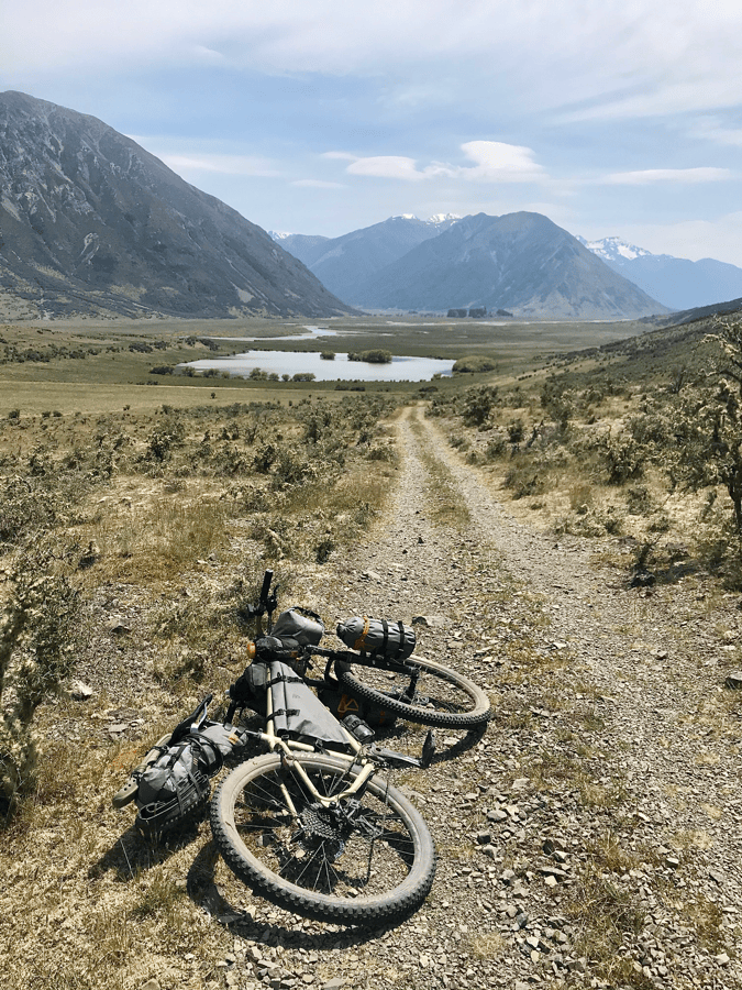
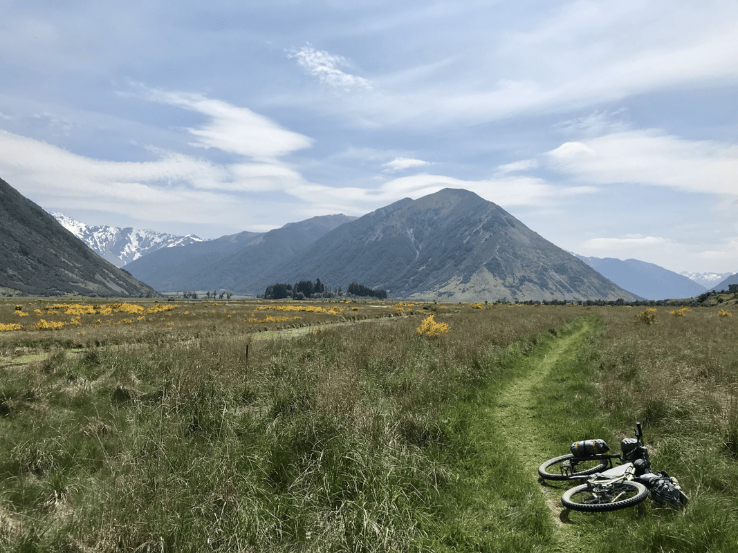
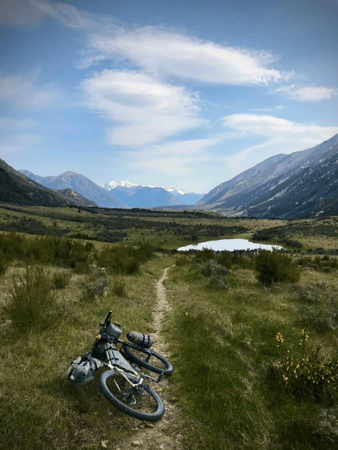
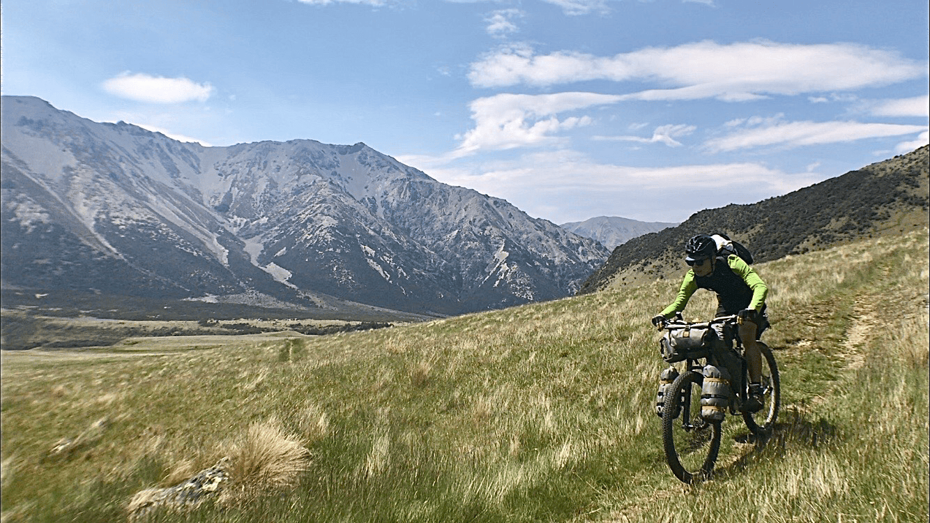
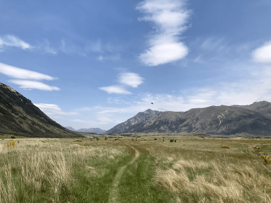
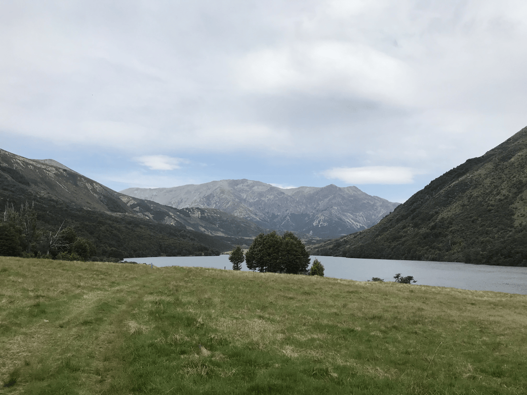
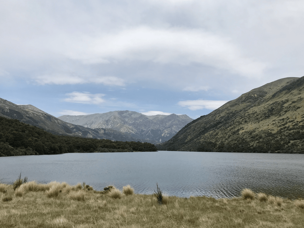
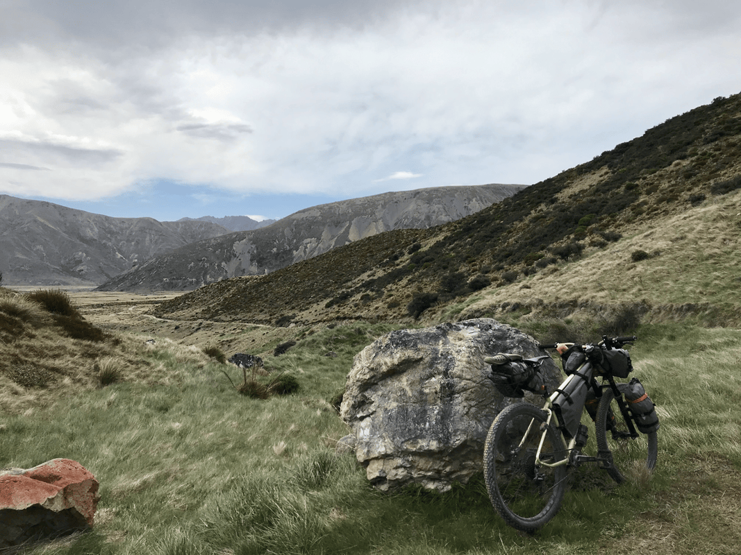
But the effort had its reward. The view from the top was the finest of the trip so far: a river cutting through open grassland, patches of forest and lakes scattered across the valley, and magnificent mountains beyond.
I imagined that earlier people encountering this landscape must have felt something similar, perhaps even more strongly.
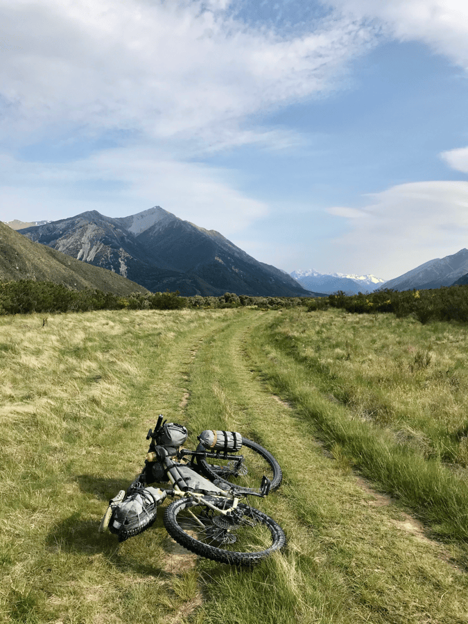
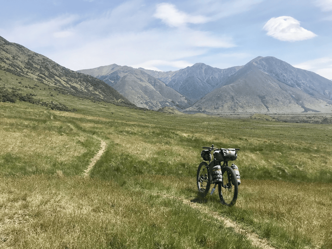
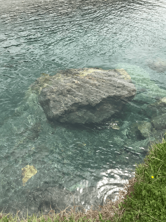
Beyond the high point, the next open valley was much easier. I followed the river, with only occasional rises and dips. Streams, lakes and snow-covered peaks accompanied me. Soon I saw the Lake Guyon turnoff. It was only half past two when I arrived.
The Romance of a Tent
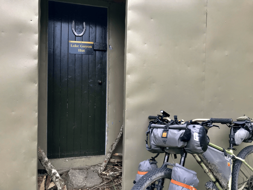
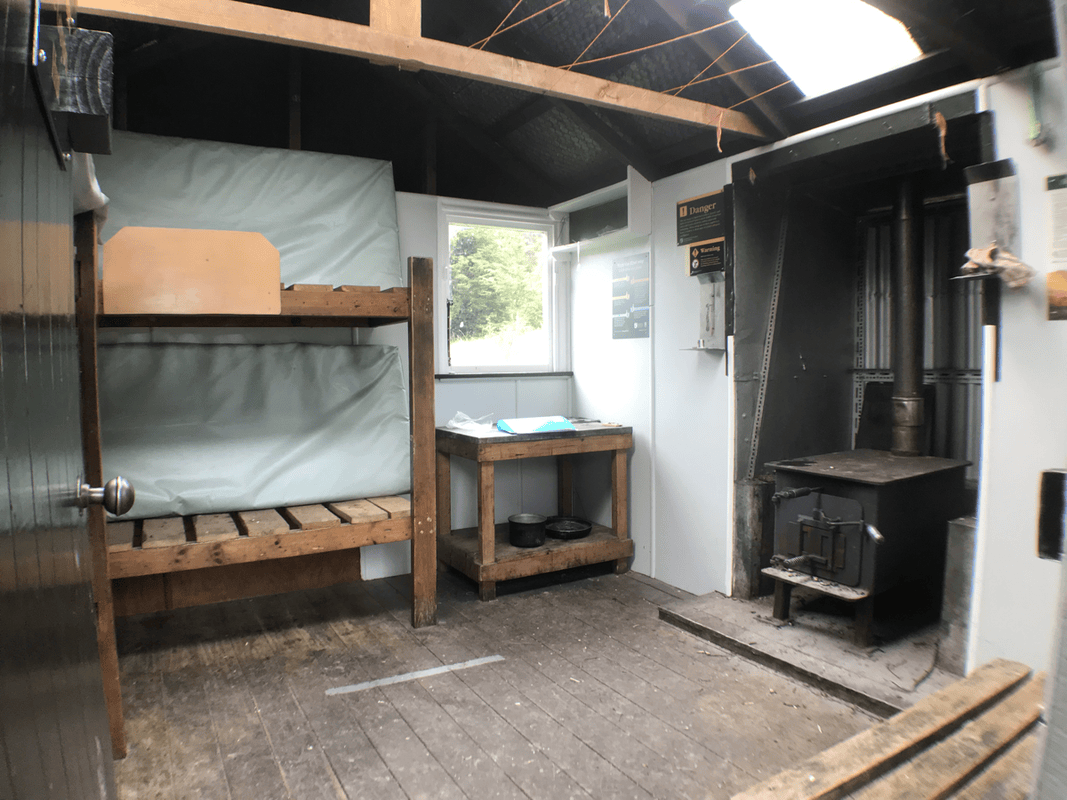
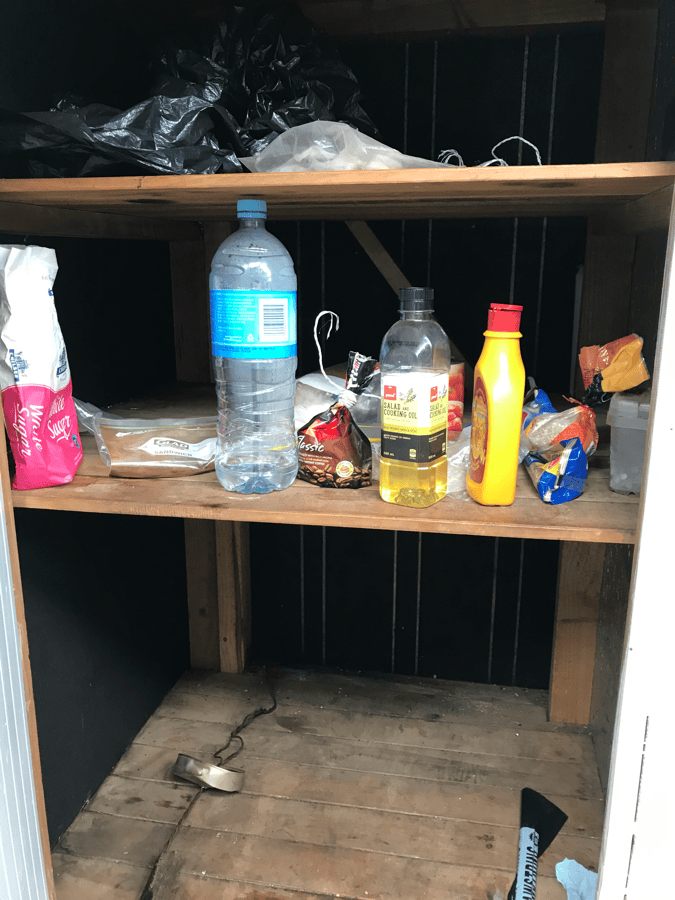
The hut at Lake Guyon belonged to a paid category. Payment used hut tickets rather than cash, which left me uncertain about the process. I went inside to look.
It did not seem much better equipped than Scotties Hut. There was no remarkable LED light or water container, just a stove that I did not need in that weather.
With plenty of time remaining, I unloaded and took a nap. I woke after four, with the afternoon still bright. Long daylight hours made everything feel wonderfully unhurried.
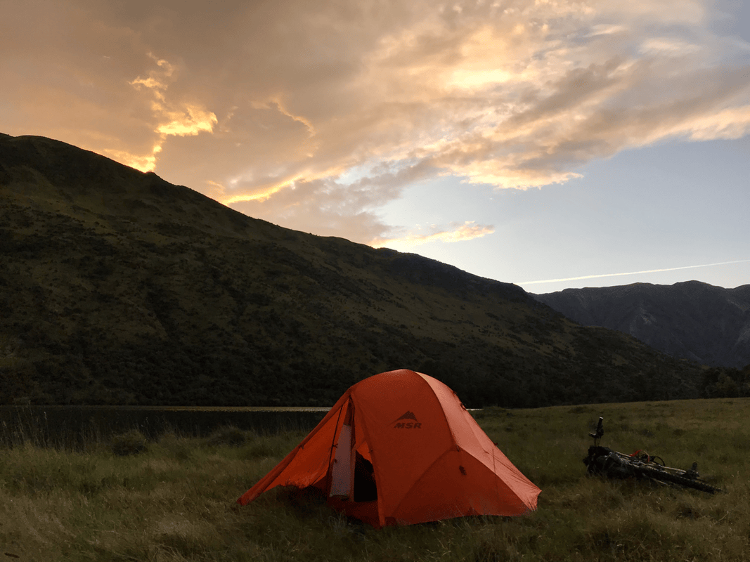
Walking outside, I thought it would be a shame not to pitch a tent in such a beautiful place. It might even be more comfortable than a hut full of insects and possibly mice.
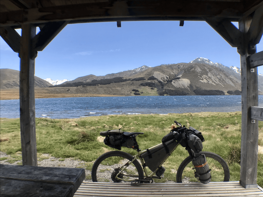
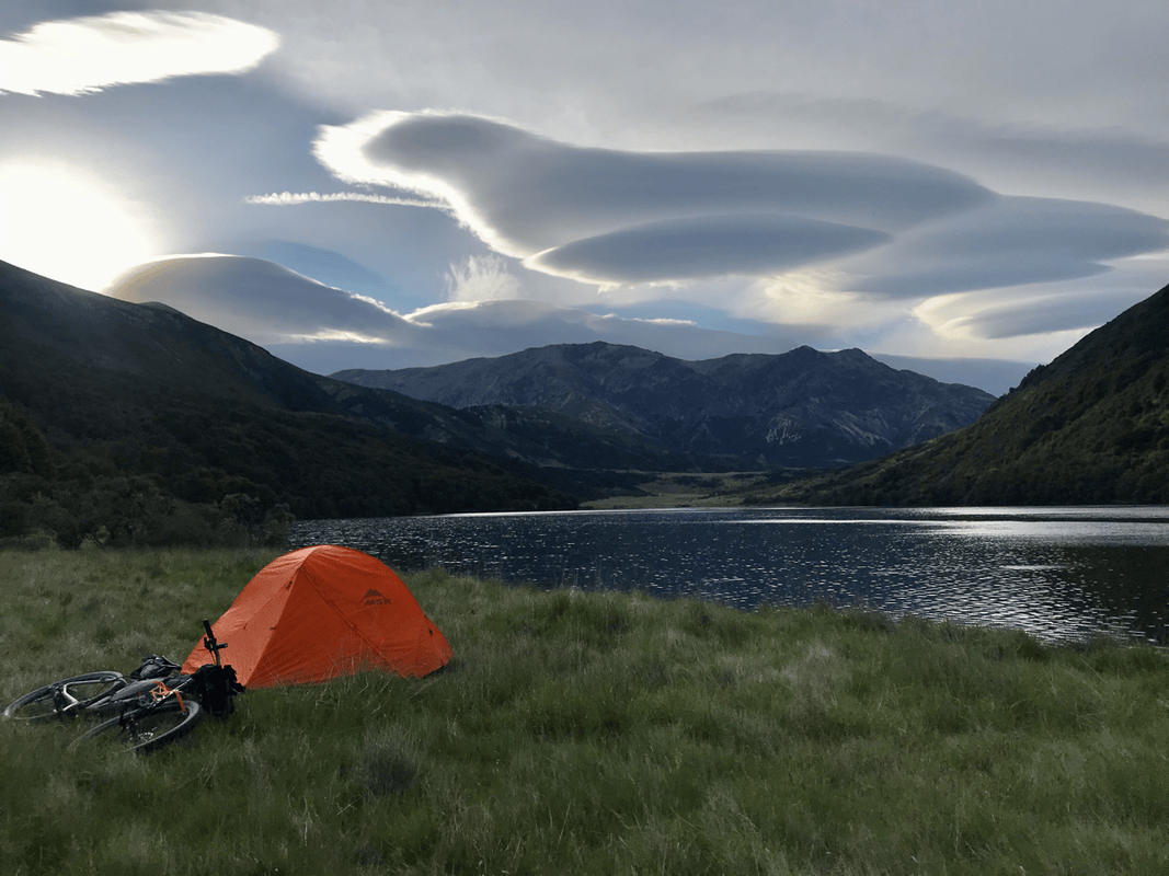
After so much time traveling, putting up my familiar little home took only fifteen minutes or so. I chose a spot and settled in. Through one door I could see snowy mountains; through the other, mountains without snow.
This was why I loved sleeping in a tent while bikepacking. A tent was part of the romance.
Day 3: Lake Guyon to Hanmer Springs
I woke to clouds shaped like flying saucers resting above the peaks. The valley was green, and birds called across the lake. Everything felt peaceful.
I stretched and could not help letting out a shout toward the sky. I felt like Zhou Botong, the carefree character from martial-arts fiction, with this valley as my own secluded Hundred Flowers Valley.
For a moment, staying here as a hermit seemed an excellent idea. But I was not quite ready to cut my ties with the outside world. After breakfast, I climbed onto the bike and left, carrying away only the mud stuck to my tires.
One Last Climb
To leave the valley, I expected a final climb gaining roughly 600–700 meters. On a road, that would not have worried me much. After the previous days’ mountain-bike climbs, I was no longer taking any gradient lightly.
I tried not to stop for too many photographs, keeping a steady pace so I could reach the final push early. Fortunately, there was little climbing on this opening section, and I reached the foot of the ascent around ten.
With so much time available, I decided to enjoy brunch before starting.
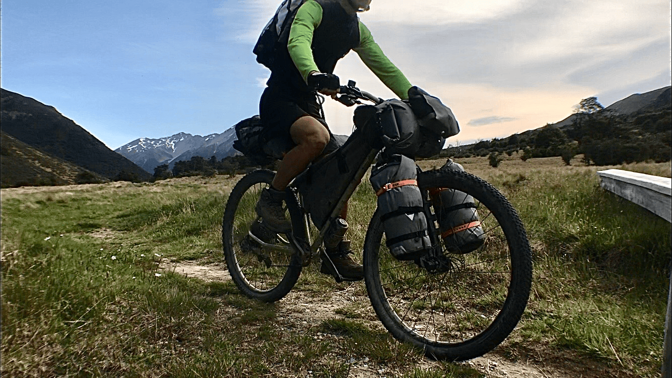
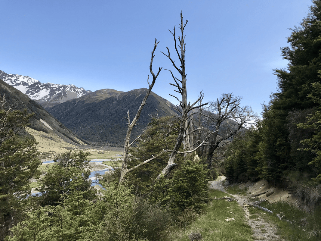
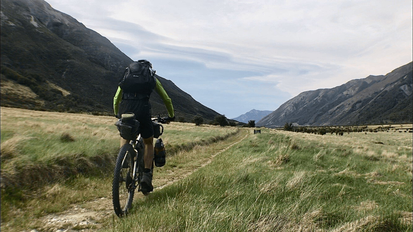
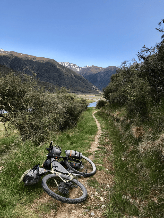
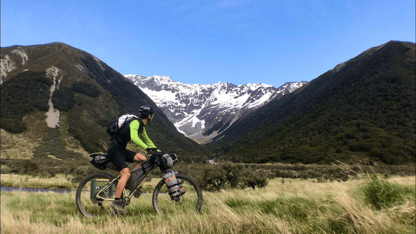
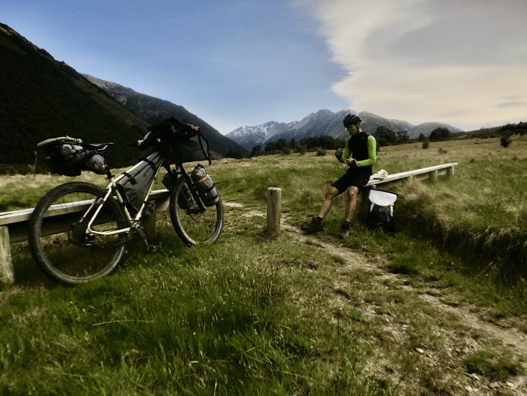
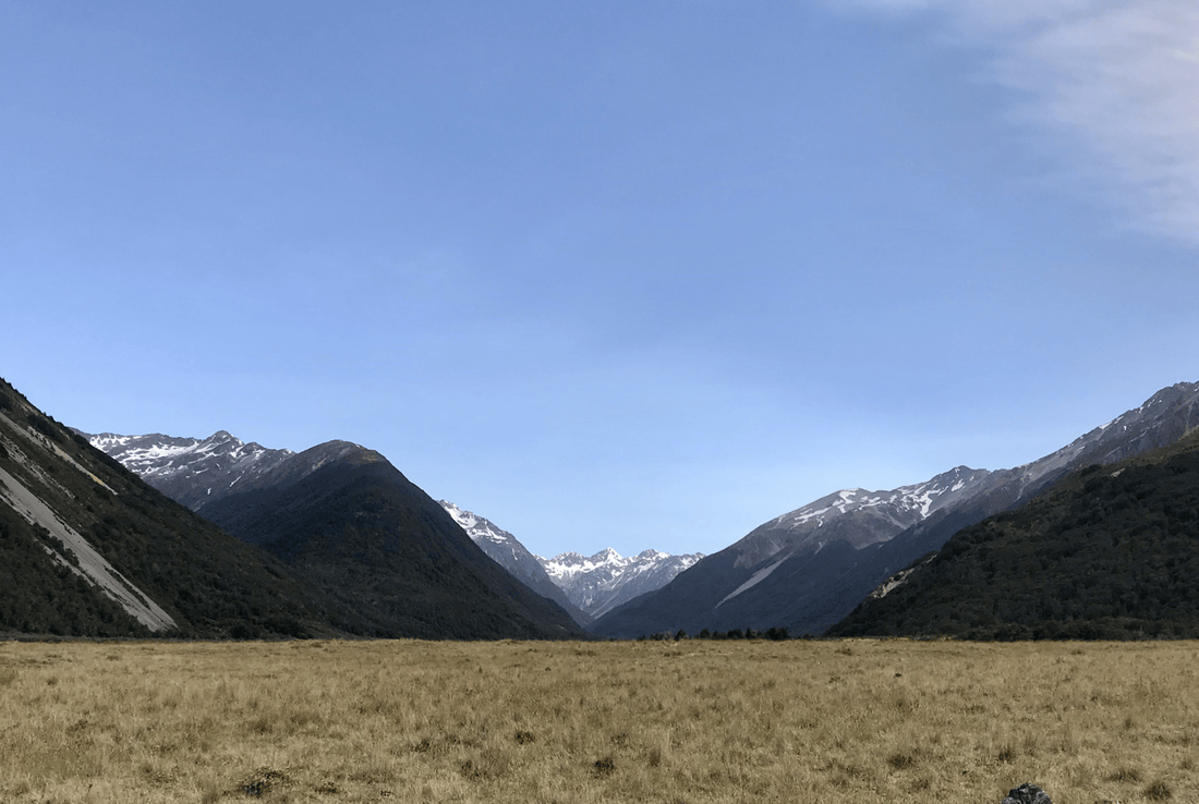
It was a leisurely meal, and the longer I lingered, the less I wanted to leave. But every feast ends. Eventually, the bread was gone and it was time to move.
I pedaled slowly toward the mountains, thinking I could already identify the gap I would cross. Soon the track steepened. I was not surprised and immediately dismounted.
My mountain-bike skills might not have improved dramatically, but my pushing skills had reached master level. When one arm tired, I changed hands or moved to the other side of the bike. I kept shifting position to spread the effort through different muscles.
Because I was traveling opposite the usual direction, most riders would descend this section. Perhaps that would have been easier, but the repeated slow-down signs suggested otherwise to me. I suspected I would have walked much of it even downhill.
In truth, pushing slowly while admiring the scenery was pleasant enough. The higher I climbed, the more of the valley opened below.
Too Much Wind at Lake Tennyson
Then the wind began to strengthen. By the saddle, I could barely stand comfortably. I started worrying about that night’s destination. On my map, the lake appeared to sit right in the wind’s path.
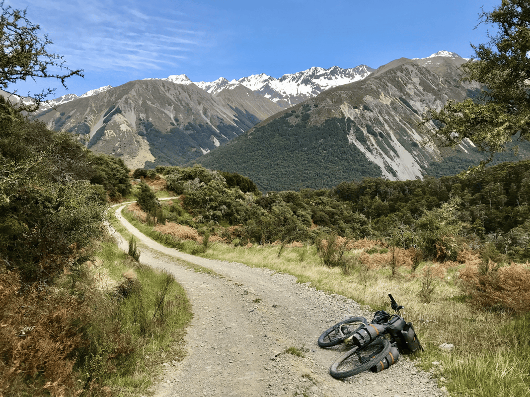
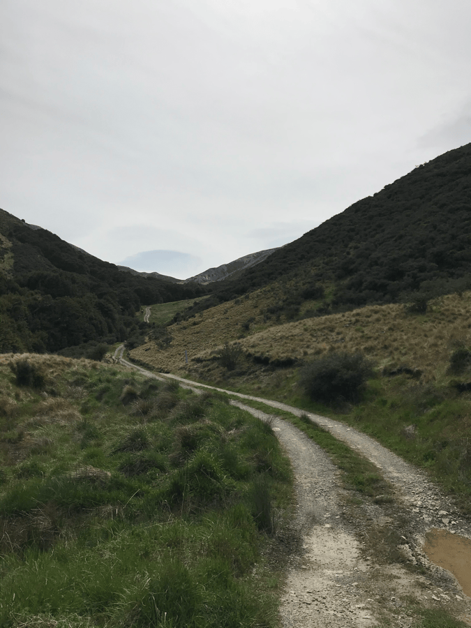
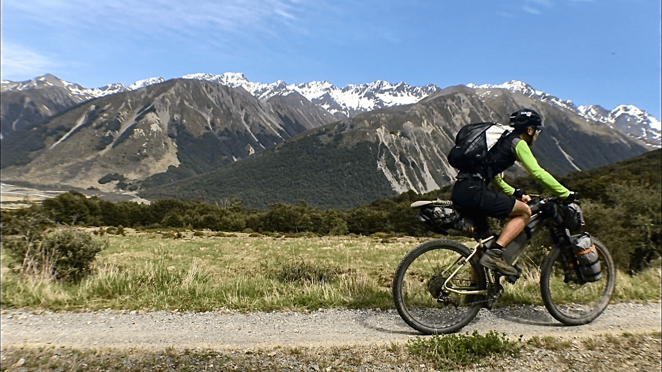
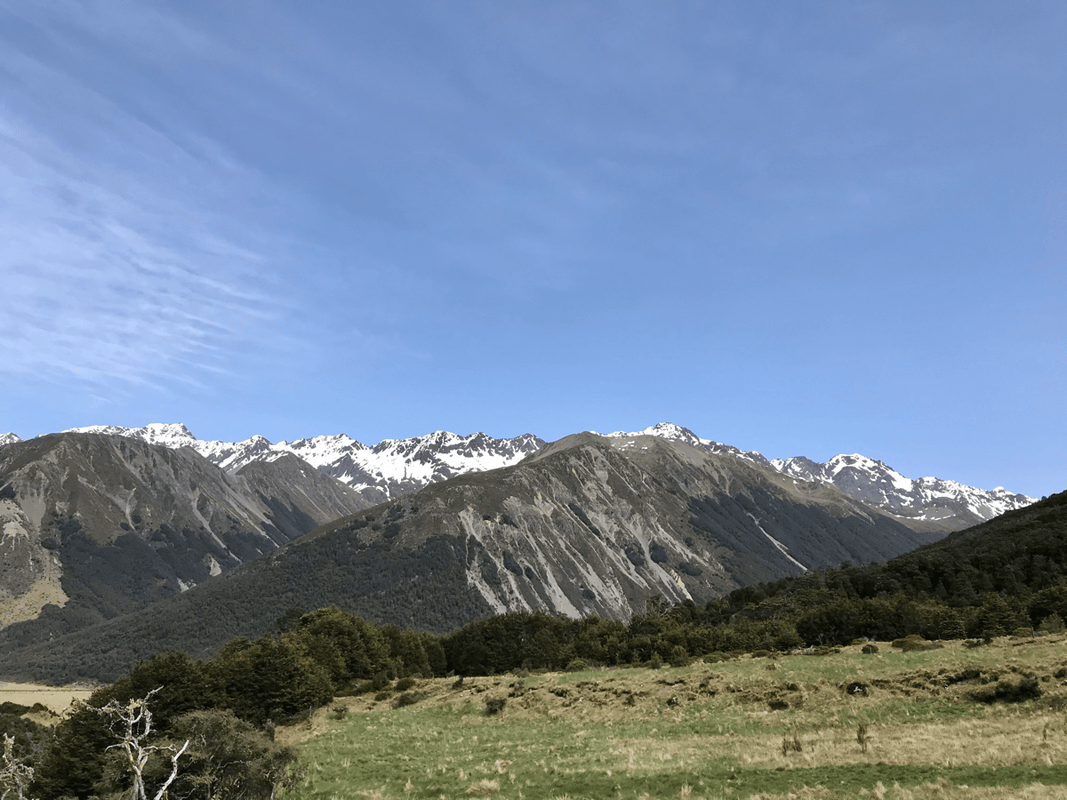
Lake Tennyson, beside the Rainbow route near the St James trail access, was my planned overnight stop. The original information put it at roughly 1,100 meters above sea level, with a very basic DOC campsite: essentially a toilet and little else.
I had read of earlier Māori presence in the area and wanted to spend a night looking across a landscape with that longer human history.
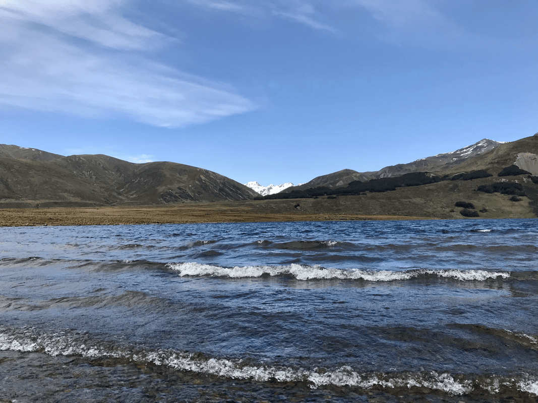
But my bad feeling proved accurate. At the lake, wind drove waves across the water, and the air coming from the snowy mountains chilled me.
I thought my tent might withstand it, but I also knew I would probably spend the night worrying rather than sleeping. This was not the night to stay there.
Turning Back toward Town
Back on the gravel road, I considered the choices. One direction led toward Lake Sedgemere, where I had intended to go the following day. The other returned to Hanmer Springs.
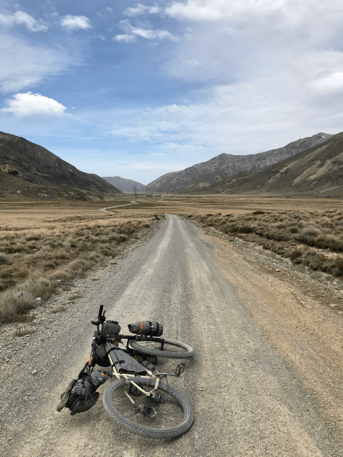
When I first arrived in New Zealand, gravel roads like these had thrilled me. After St James, they felt a little less exciting.
I looked again at the road continuing into the headwind. Then I decided: better to return.
With the strong wind behind me, I rode toward town at more than 30 kilometers per hour in places. A route I had expected to spend six days exploring had become a three-day outing.
St James had made me push my bike more than any trail in my life, but it had also left an unforgettable impression.
If I returned, I would not leave so quickly. I would explore more side routes, take my time and properly savor the first mountain-bike trail that had shown me this kind of riding.
Resources from the Original Article
These are the planning links supplied in the original account. Check current official guidance rather than relying solely on the historical descriptions above.
- The author’s notes on flying to New Zealand with a bicycle
- The author strongly recommended repellent suitable for sandflies.
- Original equipment list
- New Zealand Cycle Trail map
- Department of Conservation: St James Cycle Trail
- DOC trail map and brochure
- Great Rides app information. The author had not used it during the trip, but later found its route, supply and accommodation information promising for planning.
- MetService weather information. The author had heard favorable reports but had not used it on this trip.
Bikepacking diary: Instagram · YouTube