Qingshi Road across from Guanwu | Bikepacking toward Syakaro
Translated from Bikepacking diary’s original Qingshi Road across from Guanwu article, published on November 29, 2016, and republished by arrangement with the author. Photographs are linked directly from the original website.
Editor’s note: This historical personal account is not a current route, accommodation or trail-access guide. Confirm road and trail status, permitted activities, water availability and overnight arrangements with the relevant managers and communities. The source describes crossing a closure barrier; that action is retained as part of the narrative, not endorsed. Respect every closure and turn back at barriers. Not seeing a landslide does not establish that a closed trail is safe. A resident’s warning about bears is reported as a conversation from 2016, not a verified current sighting or wildlife assessment. The overnight stay below took place with the household’s express permission; it does not imply that other private yards or roadside areas are open for camping.
The Road across the Valley
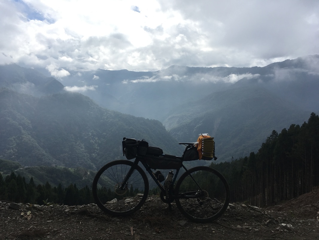
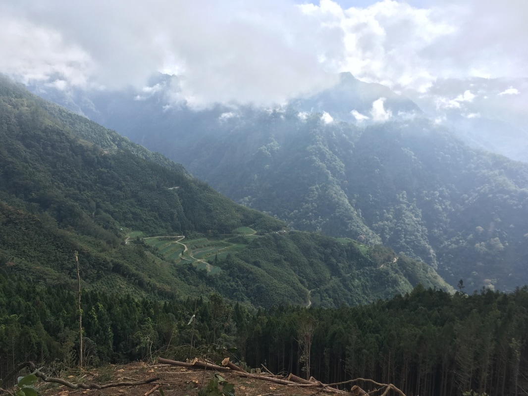
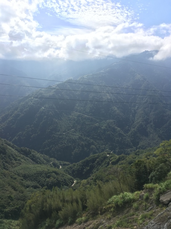
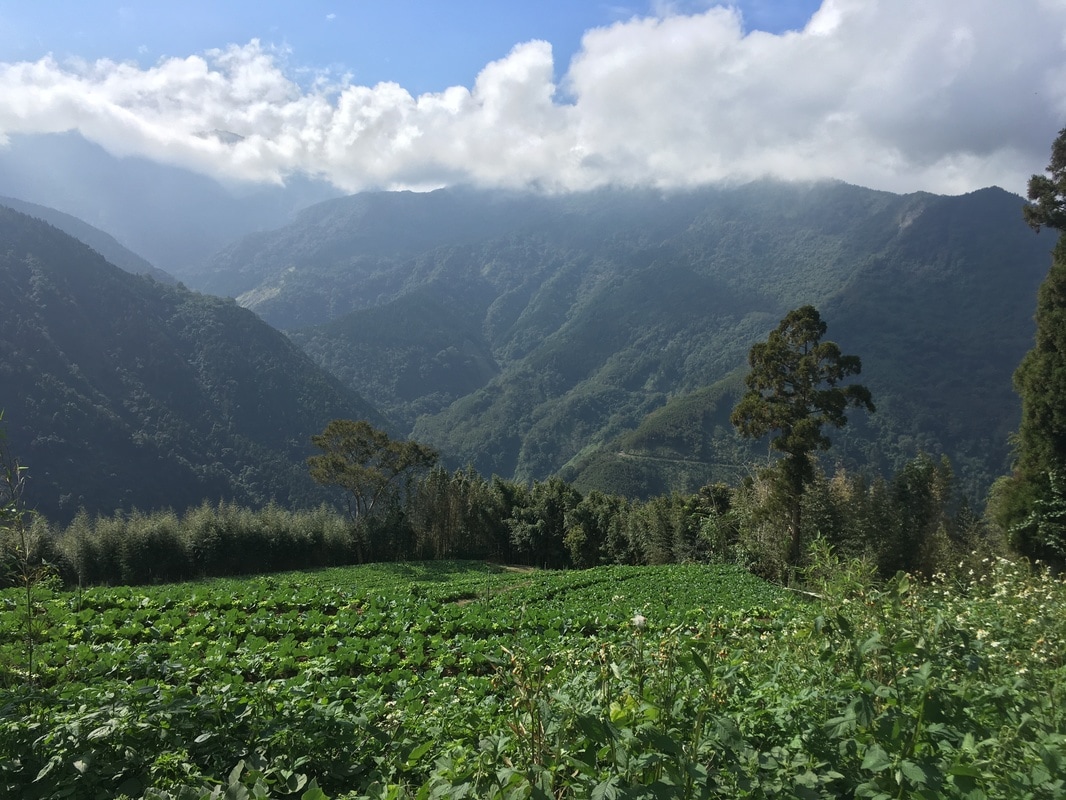
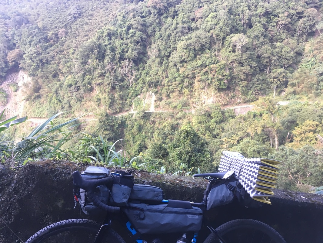
I had lost count of how many times I had noticed Qingshi Road across the valley while traveling toward Guanwu.
I always wondered how to reach it.
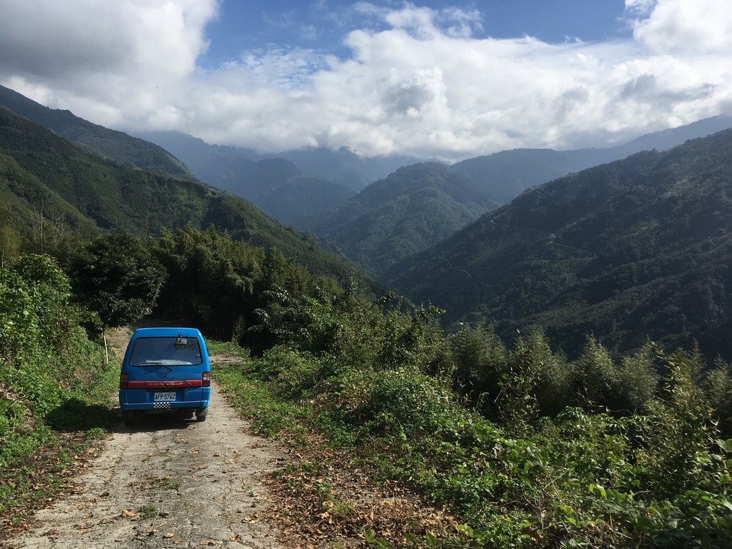
Once, I had even explored it by car. The road was so steep and broken that I turned back after about a kilometer.
At the time, I thought it was no place for a bicycle.
Those were the days before I began bikepacking.
A Hundred Kilometers before the Main Course
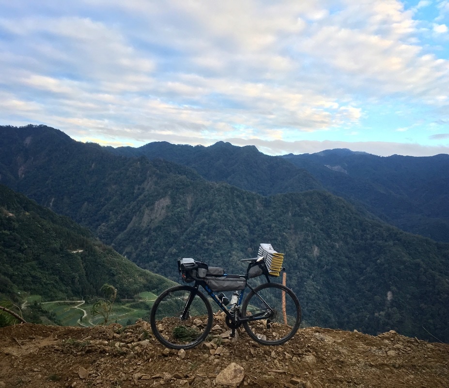
Recently, searching Google Maps for somewhere to wander reminded me that this road existed.
I left Taipei at seven in the morning and settled into Provincial Highway 3. For some reason, I seemed to have ridden it often lately. The unexciting stretch passed steadily beneath the wheels.
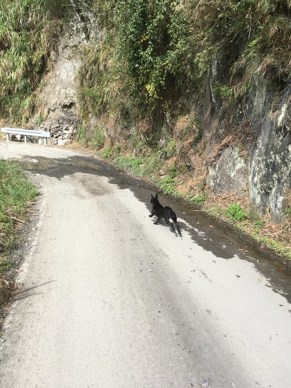
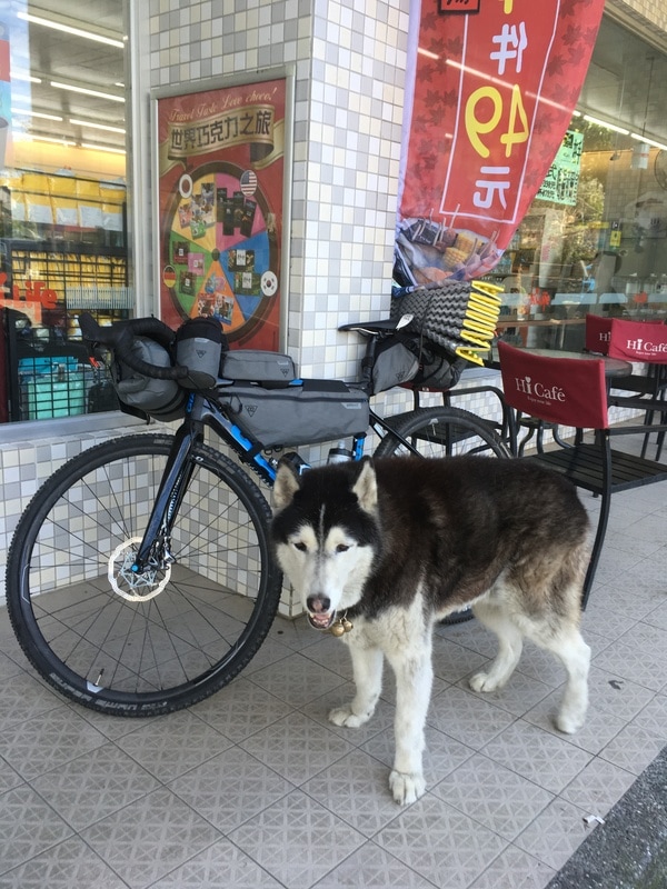
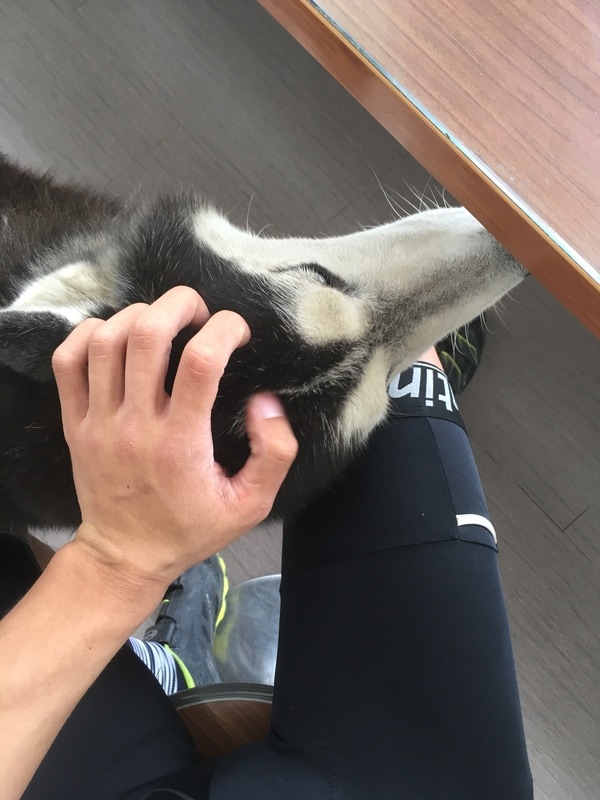
At the Hi-Life with the husky, I stopped for supplies and spent rather too long playing with the dog. It was already one in the afternoon when I set off again.
I was not concerned. Only 26 kilometers remained. It seemed practically effortless.
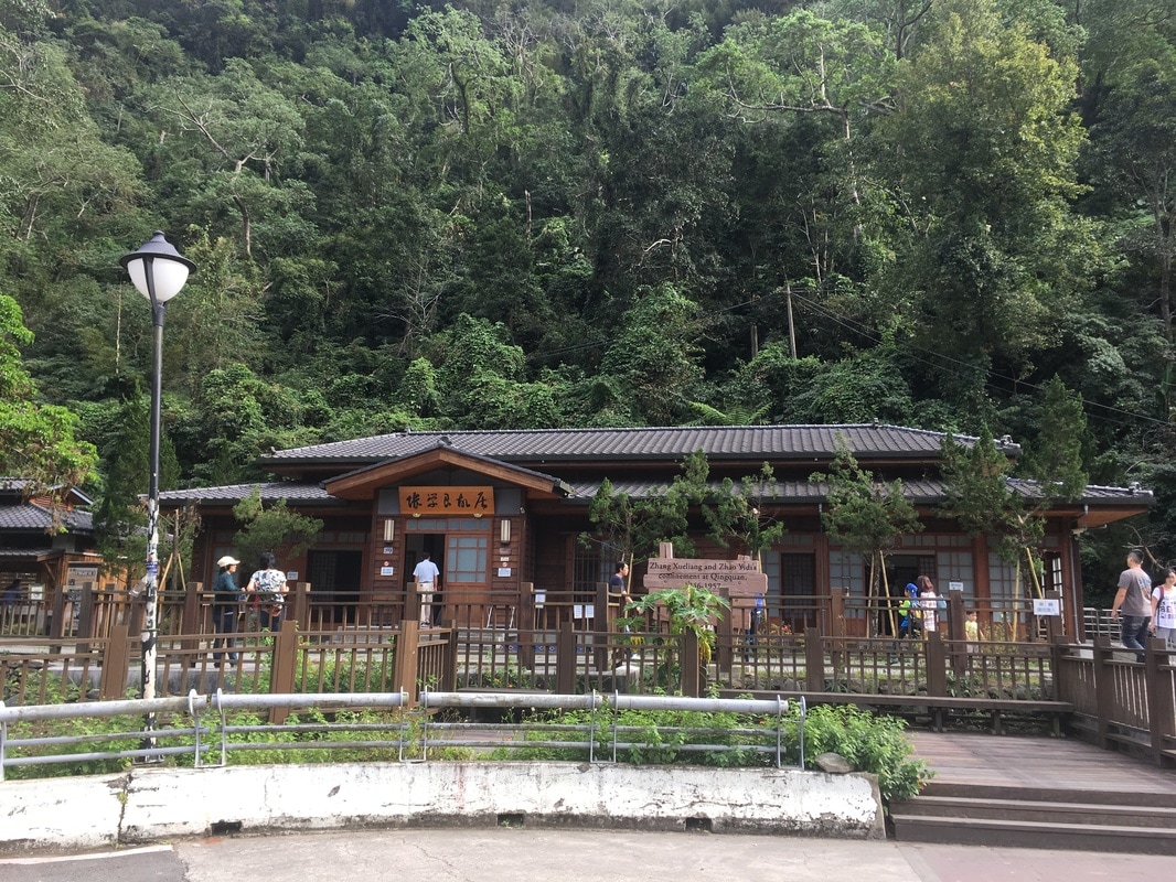
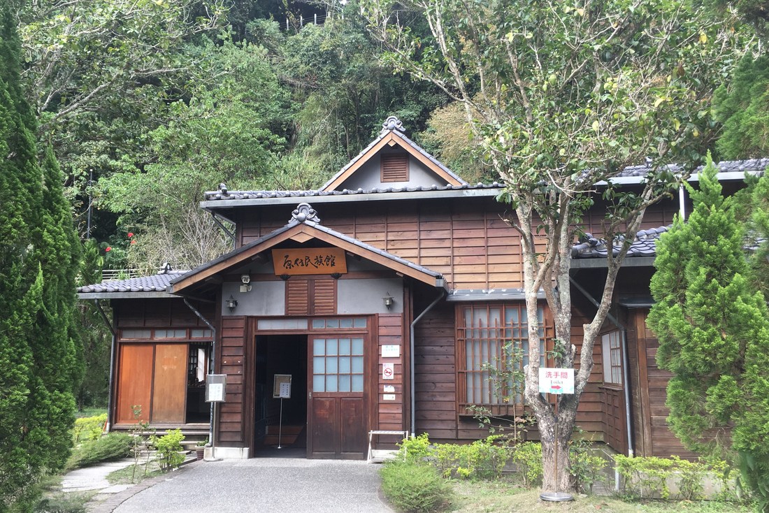
I continued slowly to Qingquan and used the toilet beside what I remembered as Zhang Xueliang’s former residence.
Looking back, I found that the Japanese-style building had become an Indigenous cultural museum. To me, that use of the building felt incongruous.
The newly built Zhang Xueliang residence was also Japanese in style, and I wondered whether the historical building had really looked that way. That was my question, not a researched conclusion.
Nearby, slope-maintenance work had left the Qingquan footbath area looking, to my disappointed eyes, like a ruin.
The more I looked, the more irritated I became. I decided to buy water and get into the mountains.
I could not find a grocery shop in the scenic area, so I bought five 600 mL bottles at a restaurant. I thought that should be enough for my own plans.
Later, in my bad mood, I joked that perhaps a scenic area that seemed to have lost its scenery should not be expected to have a grocery shop either. These were my impressions on that visit, not a description of Qingquan today.

Thirteen Kilometers Was Not the Whole Story
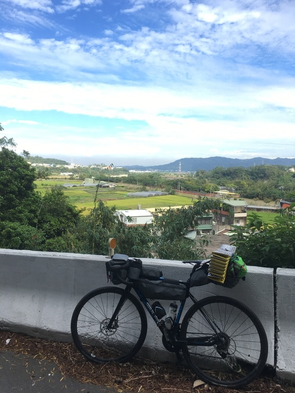
The cycle computer showed exactly 100 kilometers from Taipei to Qingquan.
After that hundred-kilometer warm-up, it was finally time for the day’s main course: Qingshi Road.
From Qingquan to the Syakaro Historic Trail entrance was about 13 kilometers.
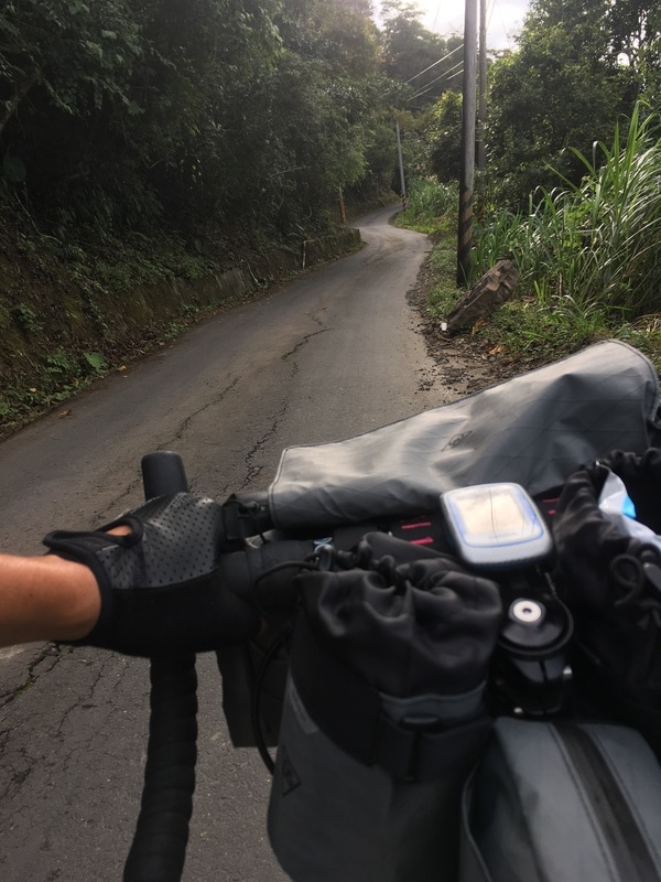
The climbing began immediately. I had expected that and promptly dismounted to push.
People encouraged me and gave me thumbs-up signs. Some offered a lift. One person even invited me directly to their campsite.
I appreciated every kindness, but joked to myself that accepting a lift for a mere 13 kilometers would be an insult to my pride.
So I walked the steep parts and got back on whenever my strength returned.
Gradually, something began to feel wrong. Why did the climb never end? And why was it all so steep?
I opened the map and checked the trailhead elevation.
About 1,700 meters.
Qingquan was only a little above 500 meters. By my rough reckoning, these 13 kilometers gained nearly 1,200 meters, an average gradient approaching ten percent.
I hardly knew whether to laugh or cry.
It was not dark yet, but it was already four, and I still had about five kilometers to go.
I began looking for possible overnight places beside the road. If I had reached neither the end nor a place to sleep by five, I would turn back.
Fortunately, I spotted somewhere that looked like a possible fallback. With that option in mind, I felt reassured enough to continue. Appearance alone, however, did not establish permission or suitability.
Forest Road, Then a Warning
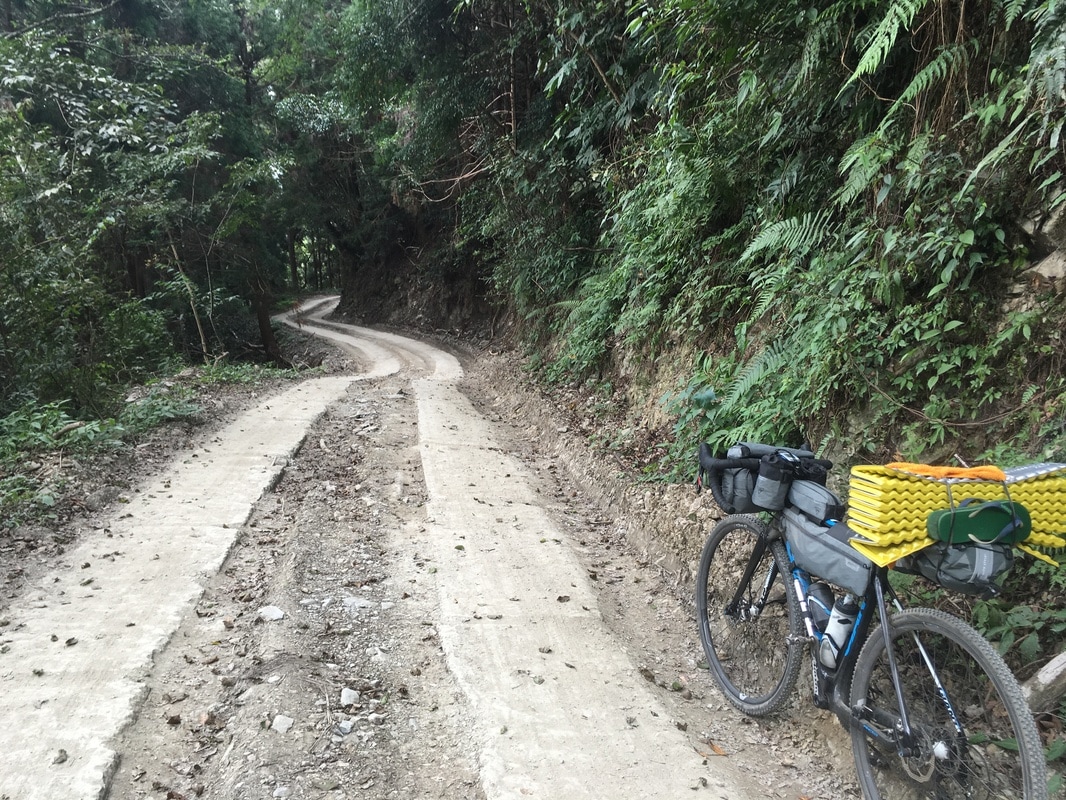
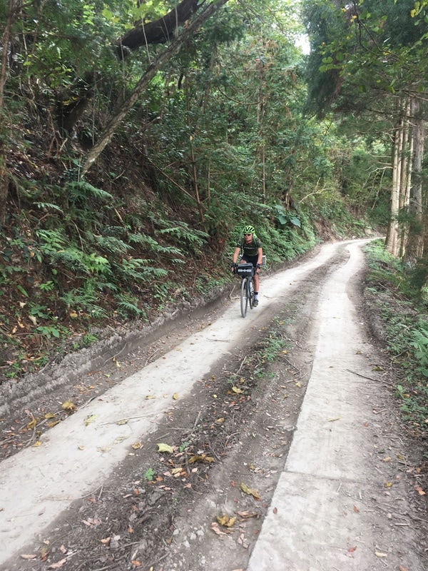
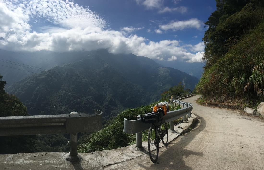
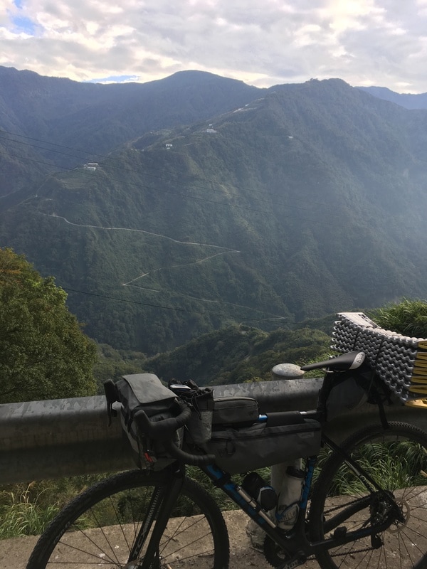
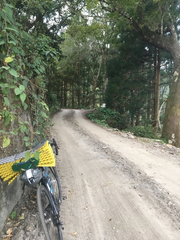
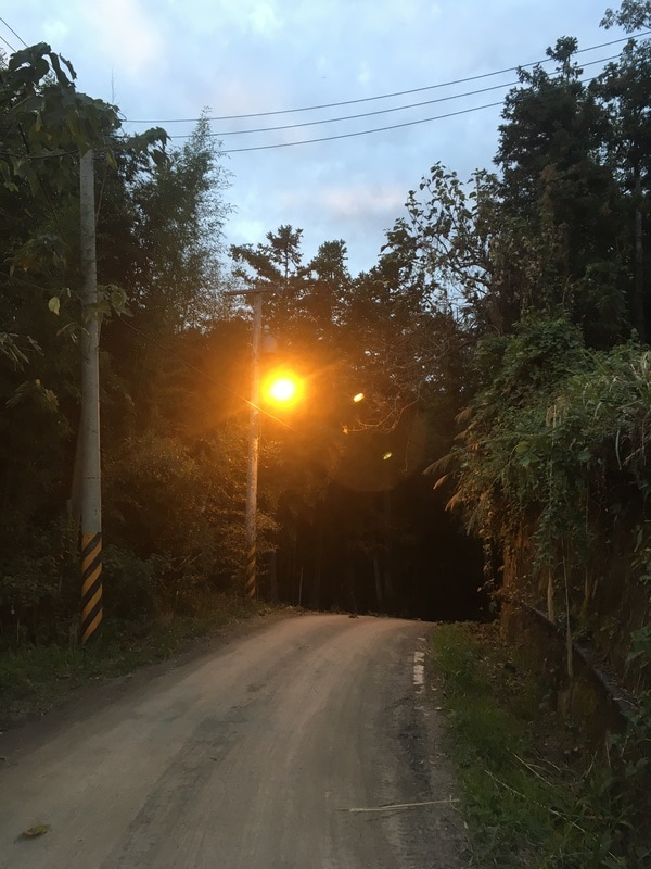
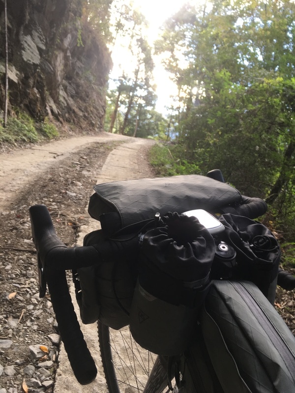
At about the 12-kilometer point, beyond Shilu community, the surface changed.
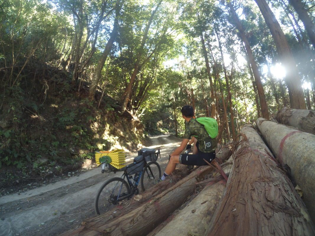
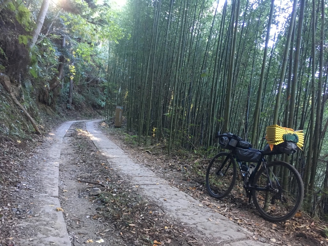
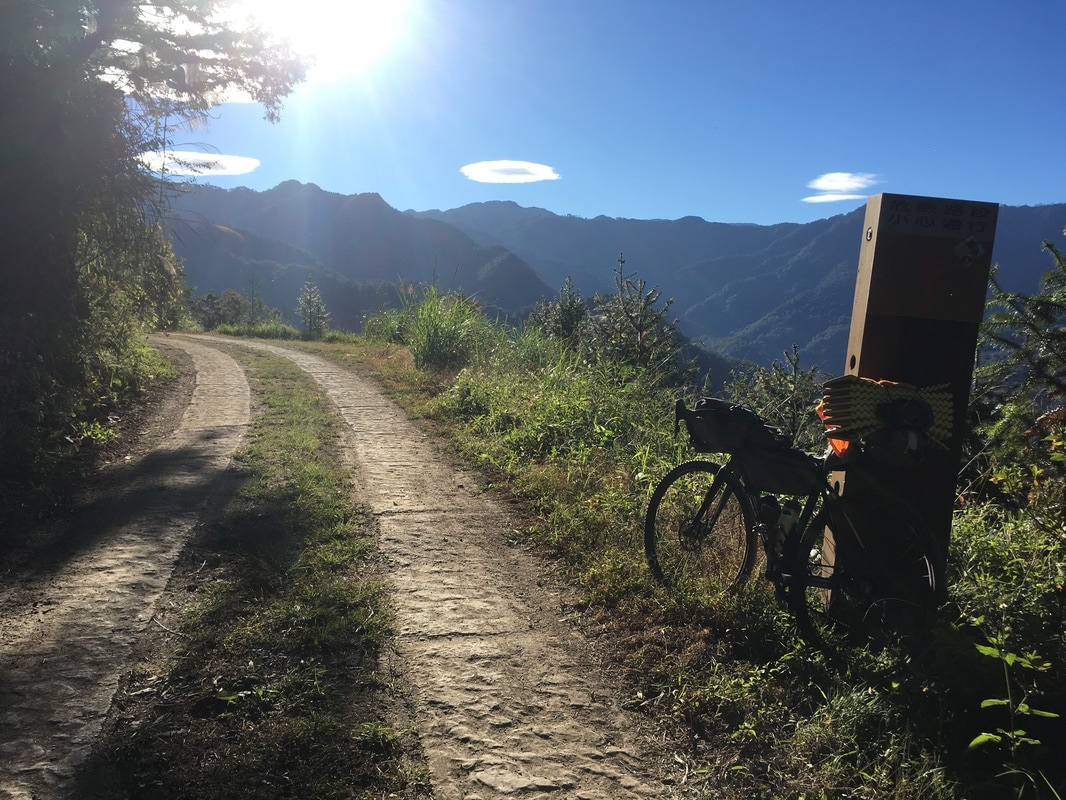
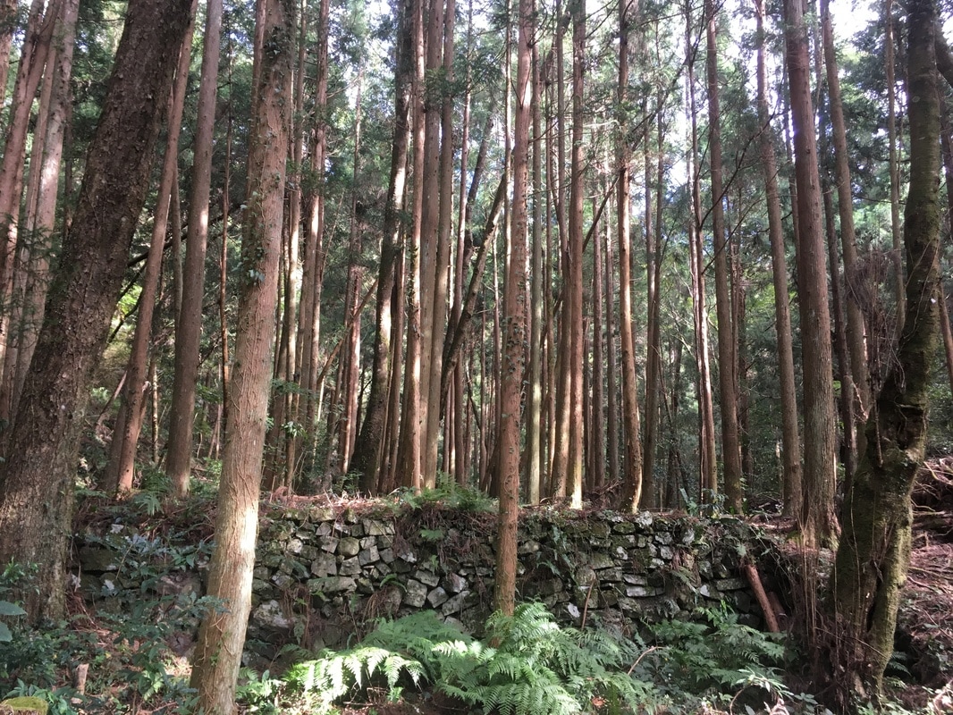
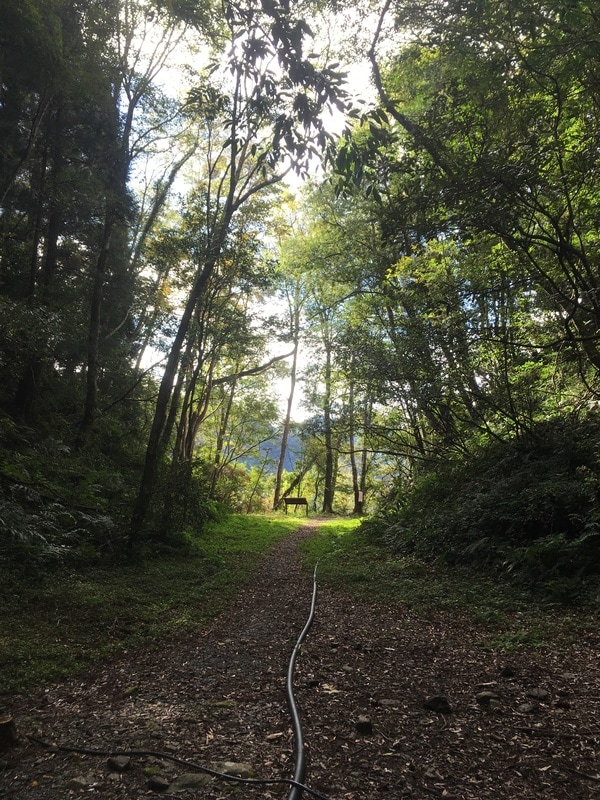
Asphalt and concrete gave way to an earthy forest road with stone slabs.
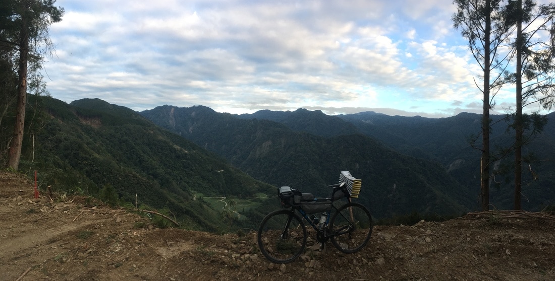
This was what I had come to ride.
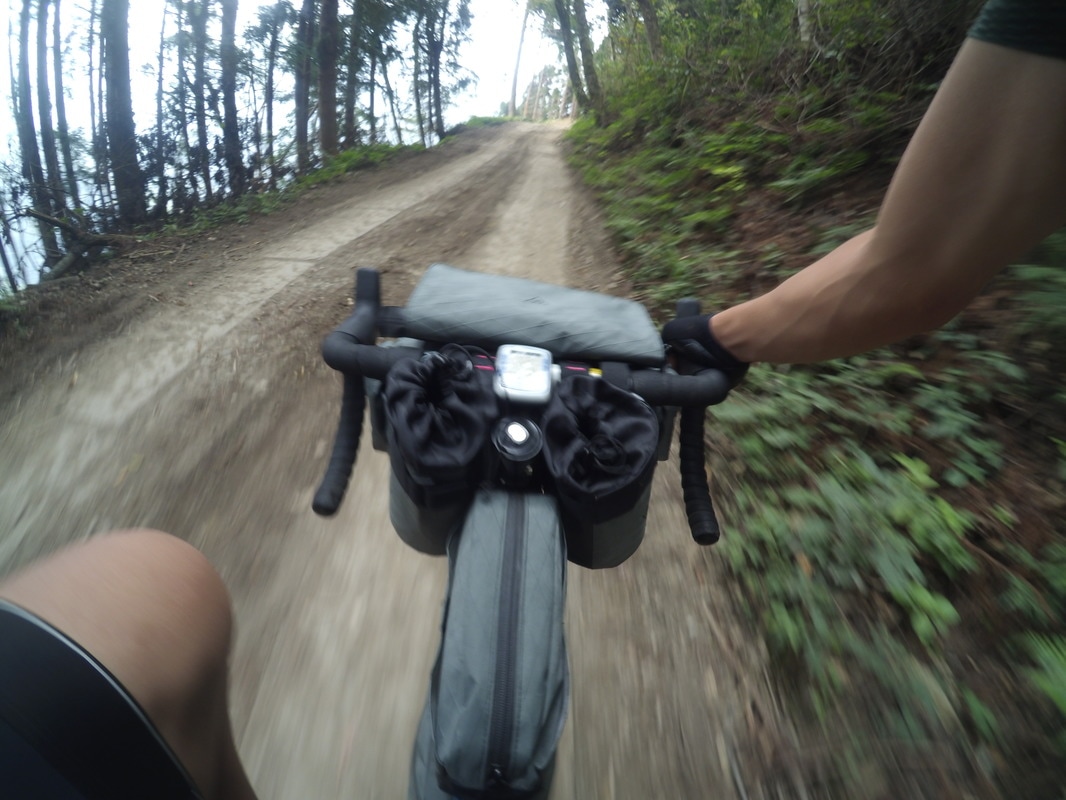
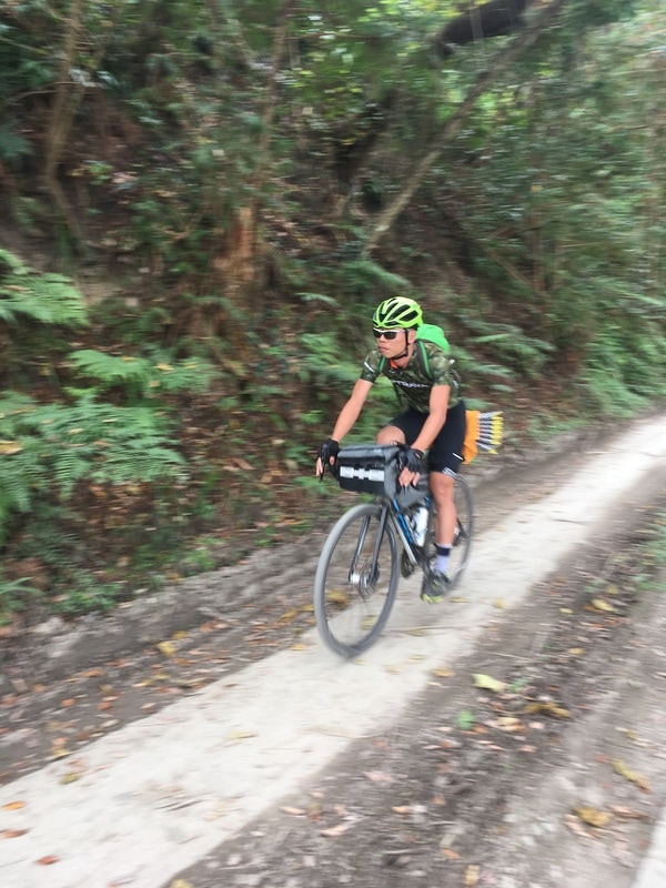
All the earlier fatigue suddenly seemed imaginary. My pedaling felt light again as I happily continued uphill.
A Delica van came down from the mountain. As we passed, an Indigenous man inside asked where I was going.
I smiled innocently and said I hoped to find somewhere to pitch the tent near the Syakaro trailhead.
He immediately advised against it. There were bears inside, he said.
My feelings became complicated.
Earlier in my life, I had wrongly imagined that Taiwan no longer had bears. Now I found myself having to think about them in planning my own night.
I decided I would have to turn back in time and pay for a campsite, joking to myself that it was protection money.
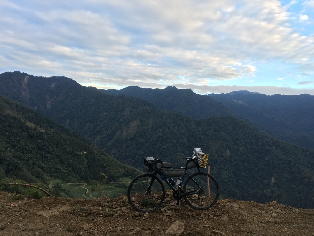
What made the decision harder was finding, not much farther on, what looked to me like an excellent spot: level ground, soft earth, an open view and an apparent easterly outlook.
I imagined a comfortable night and a spectacular sunrise.
But I was afraid, so I turned back. Neither the appealing site nor the conversation established an actual wildlife assessment or permission to camp.
A Welcome I Had Not Planned
The campsite was about four kilometers away. That meant another substantial climb the following morning just to regain the place where I was turning back.
I began regretting not having started directly from Qingquan.
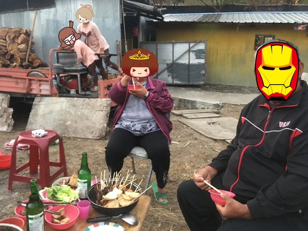
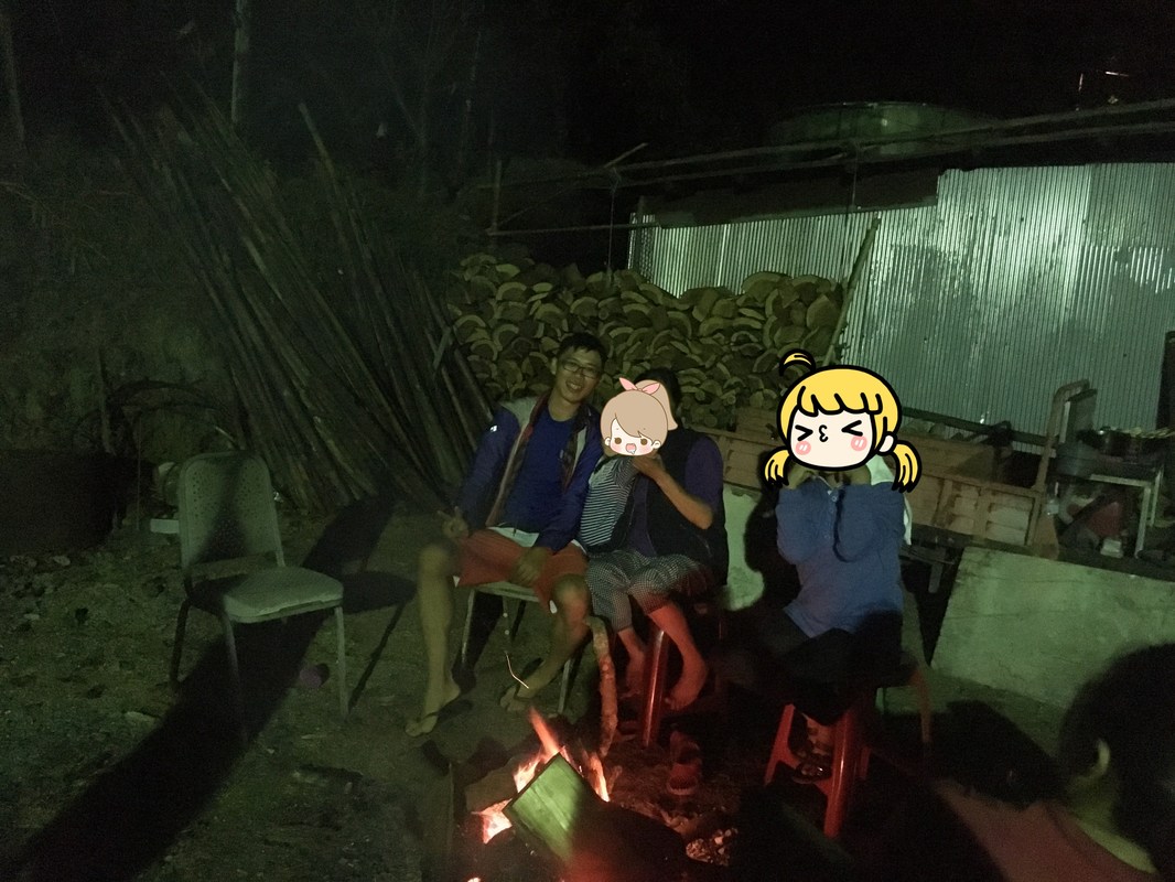
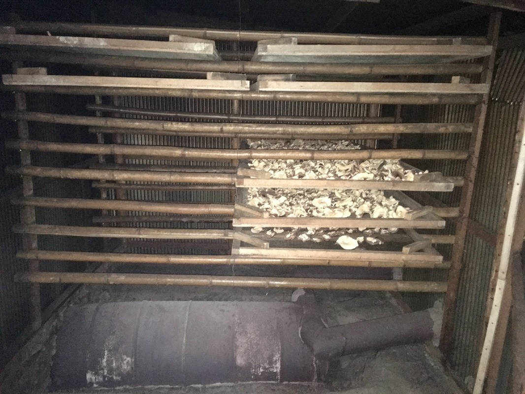
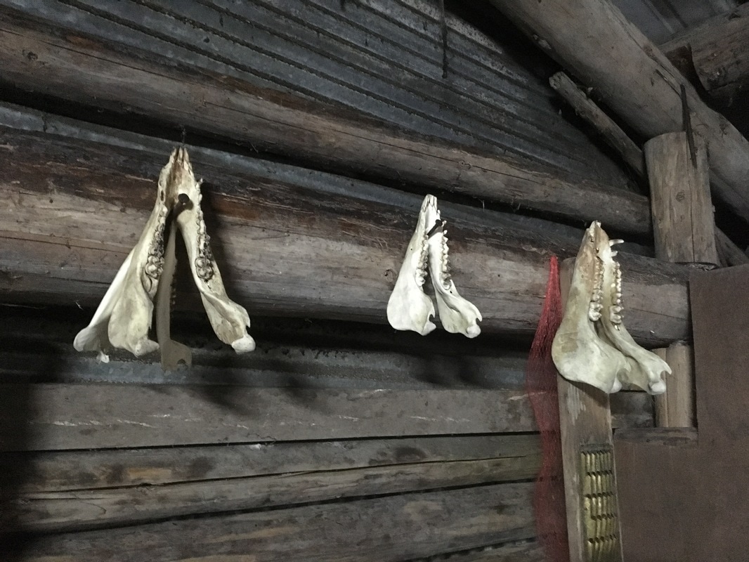
Descending slowly with those thoughts, I noticed a pleasant yard outside an Indigenous household. The family and their companions were having a barbecue there.
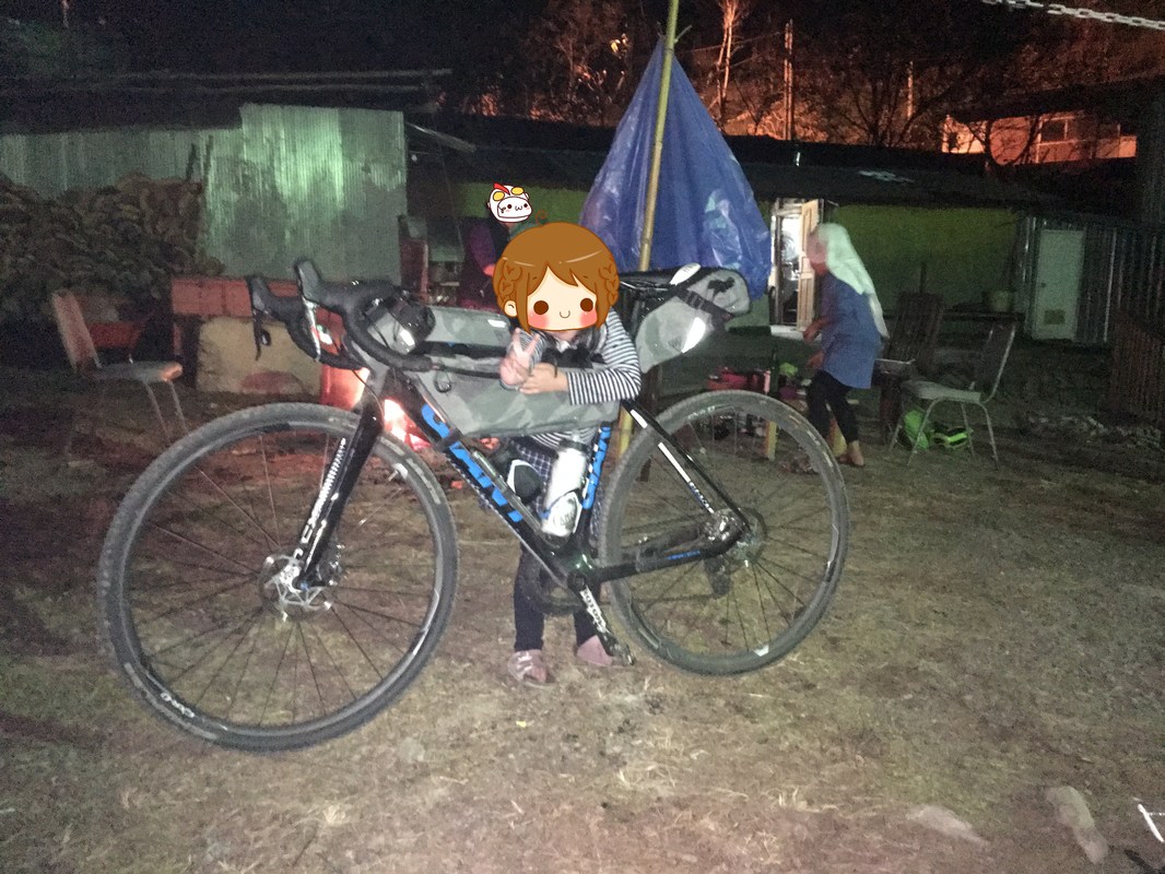
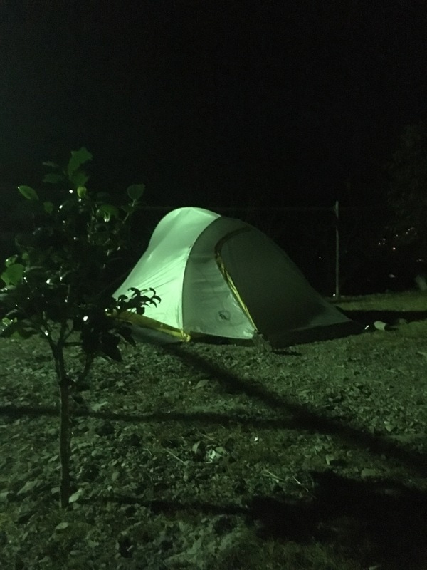
After hesitating, I decided to ask whether I might pitch my tent for the night.
Everyone present smiled and said yes immediately. There hardly seemed to be any discussion.
The warmth of that welcome overwhelmed my worries.
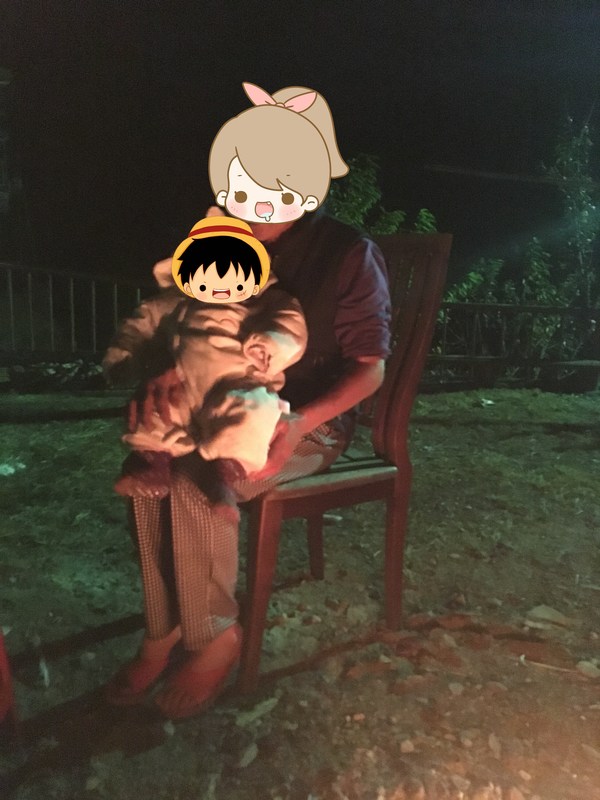
With their generous hospitality, I enjoyed a barbecue feast and passed a peaceful night.
Back to the Unfinished Climb
I woke at half past five, packed the tent and resumed the journey I had left unfinished.
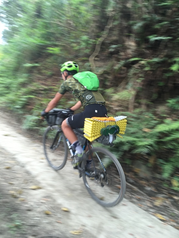
A good night’s sleep had restored much of my strength. I rode steadily back to the forest road.
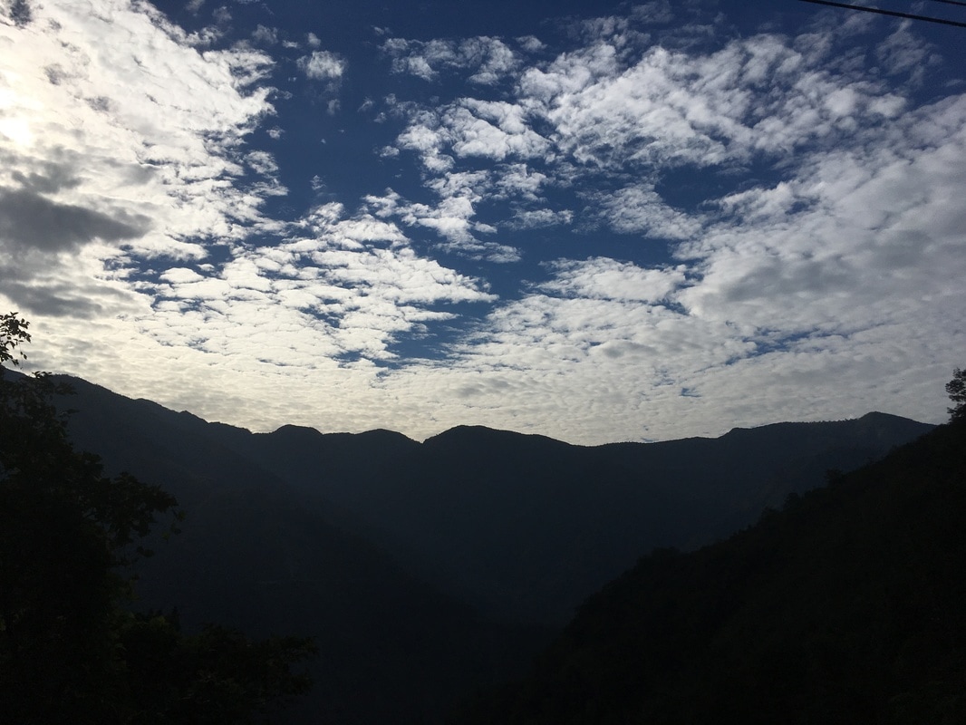
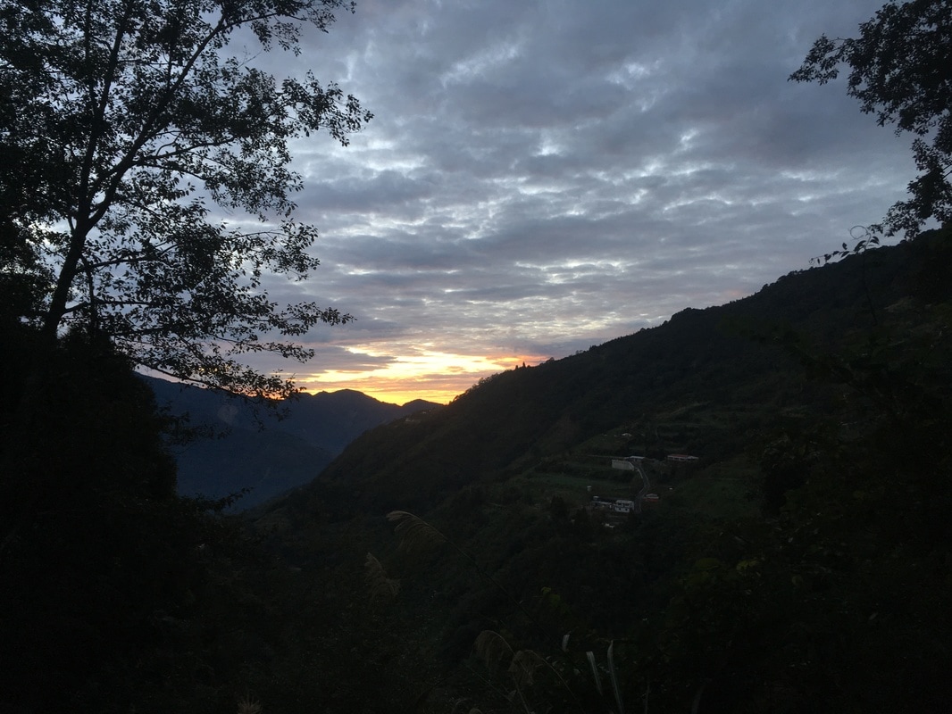
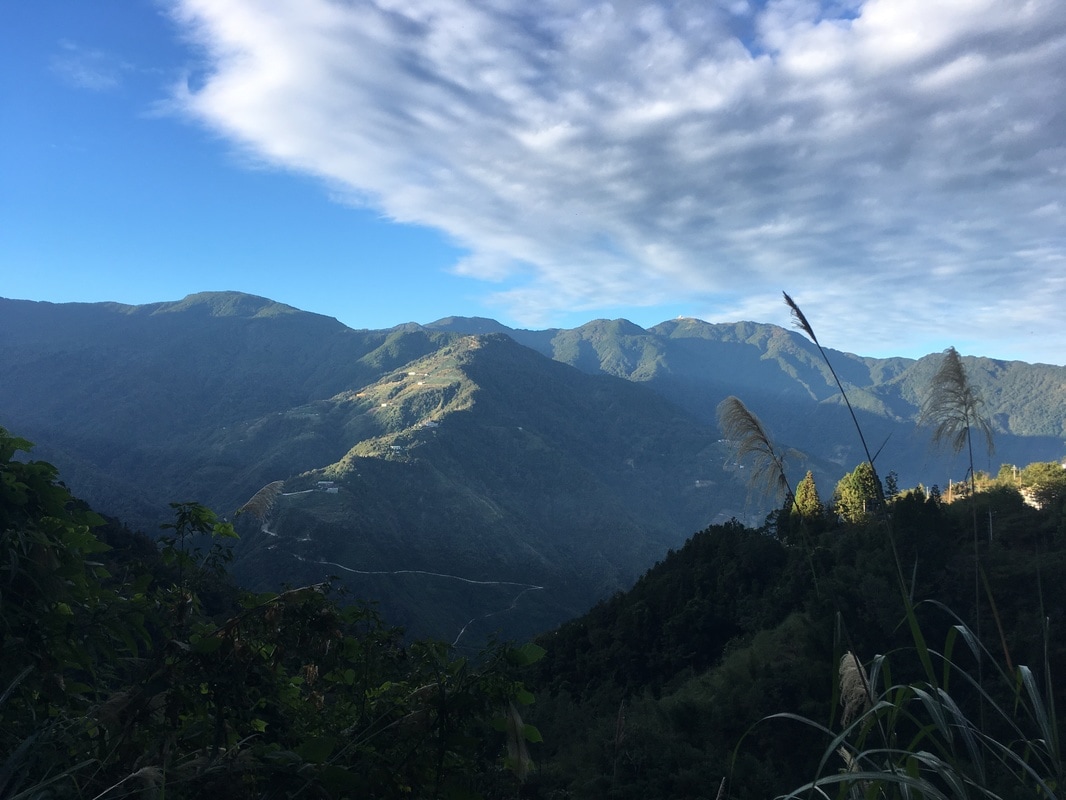
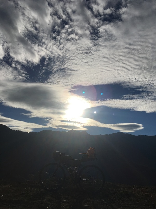
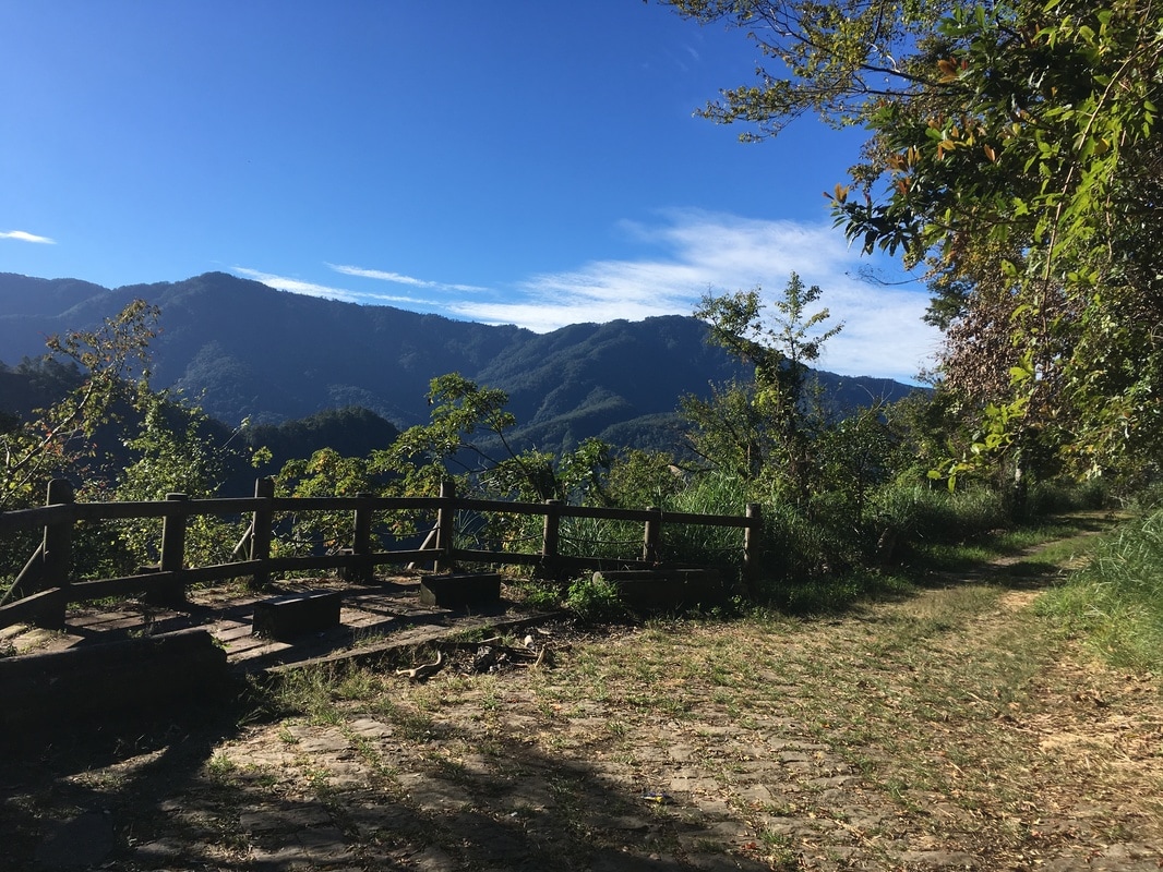
The morning scenery was beautiful.
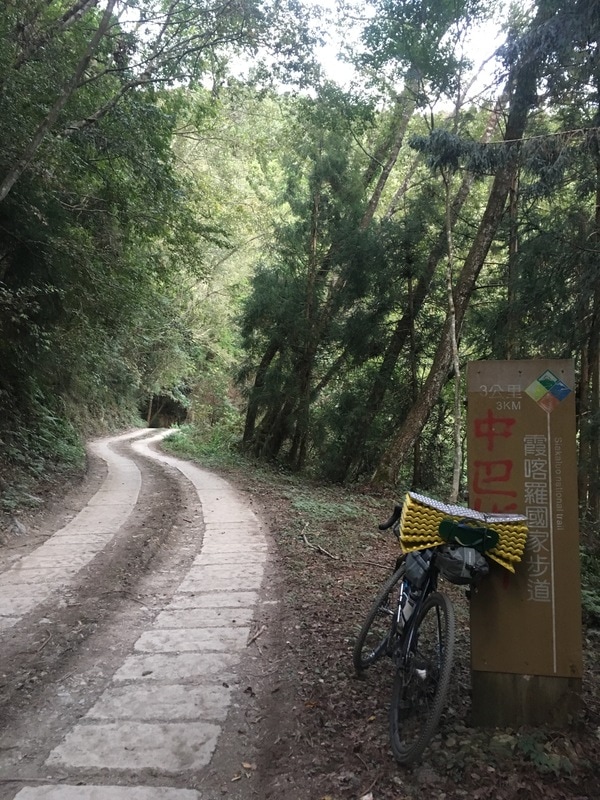
Approaching the Syakaro entrance, I passed several bamboo groves that reminded me of the trail’s Yanglao side.
At the trailhead, I met a man who had passed me on the road. He had driven up to walk the historic trail.
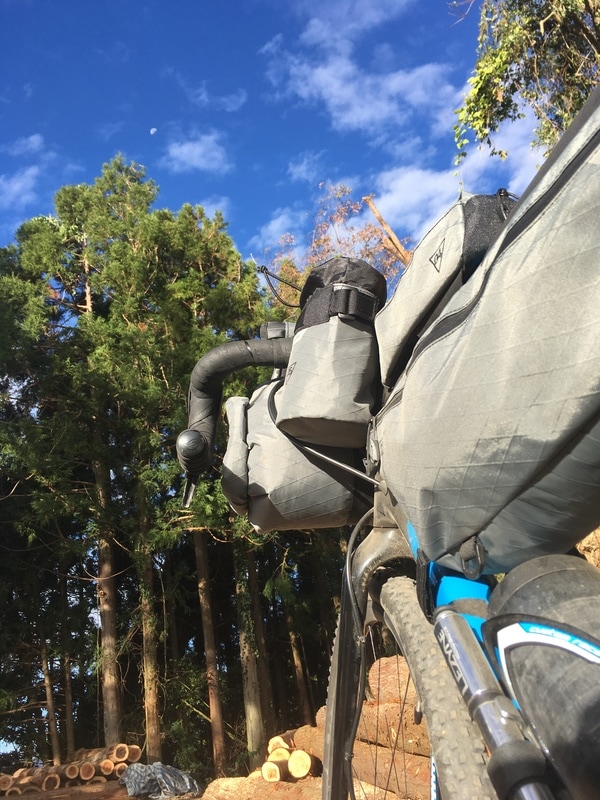
I looked around and felt comfortable leaving the bicycle there, then joined him for a walk. That was my judgment at the time, not a guarantee of secure parking.
As we talked, he said the road had been so rough that he had nearly turned around. Then he had seen me cycling ahead and thought: if someone could get up here by bicycle, how could he fail to finish the drive?
A Closure the Original Journey Did Not Respect
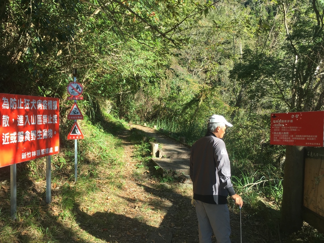
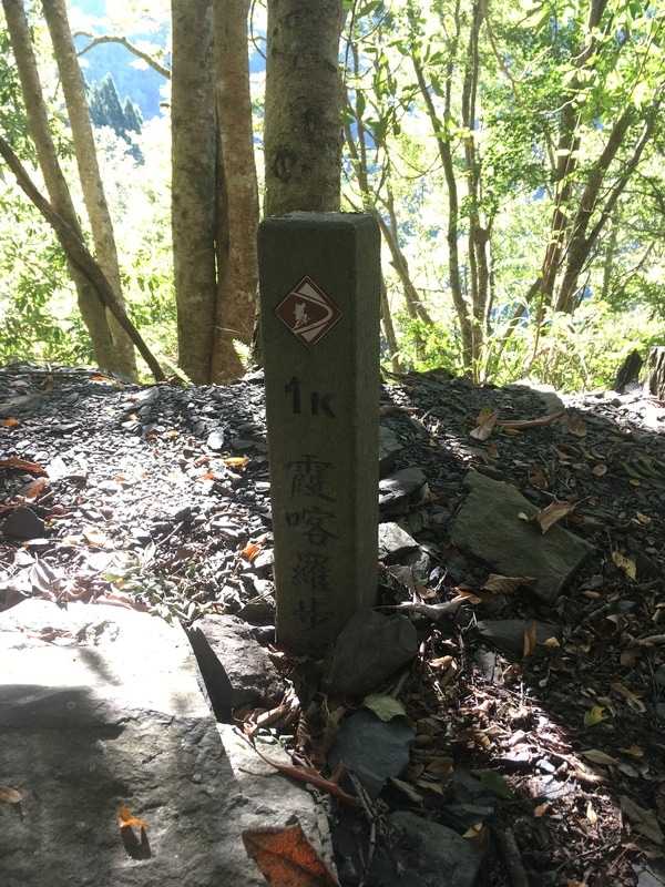
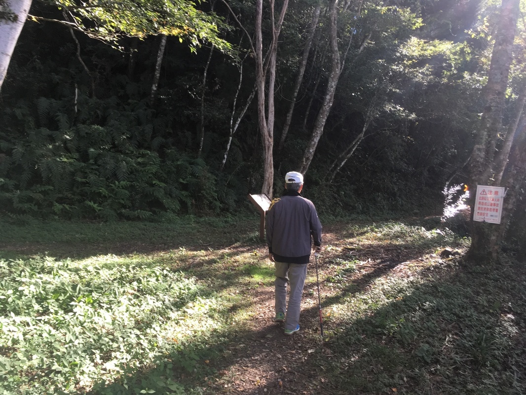
A notice at the entrance said that typhoon damage limited access to 1.2 kilometers.
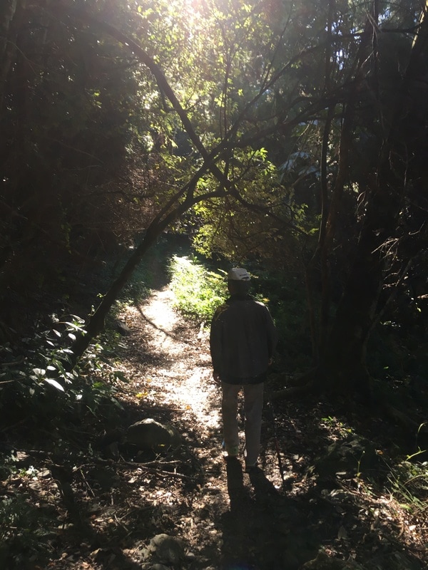
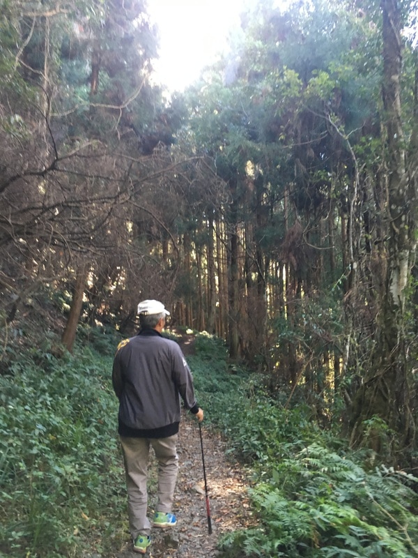
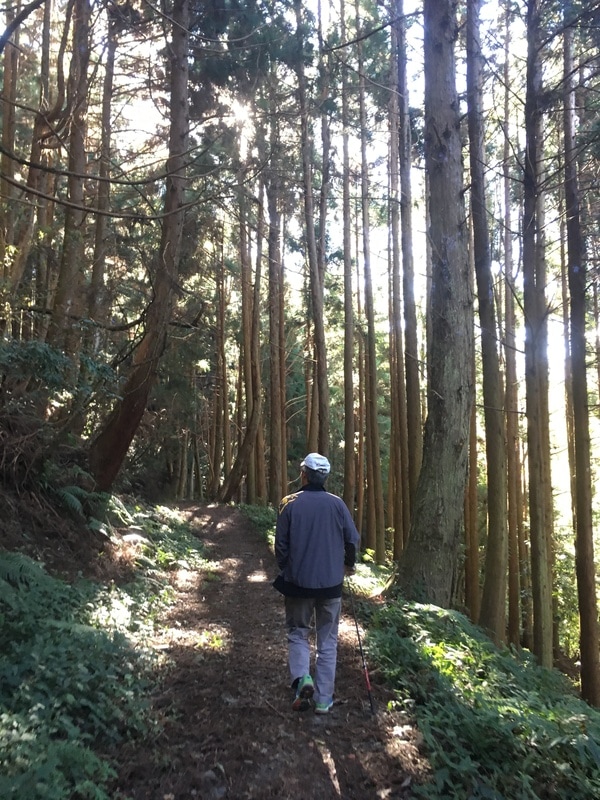
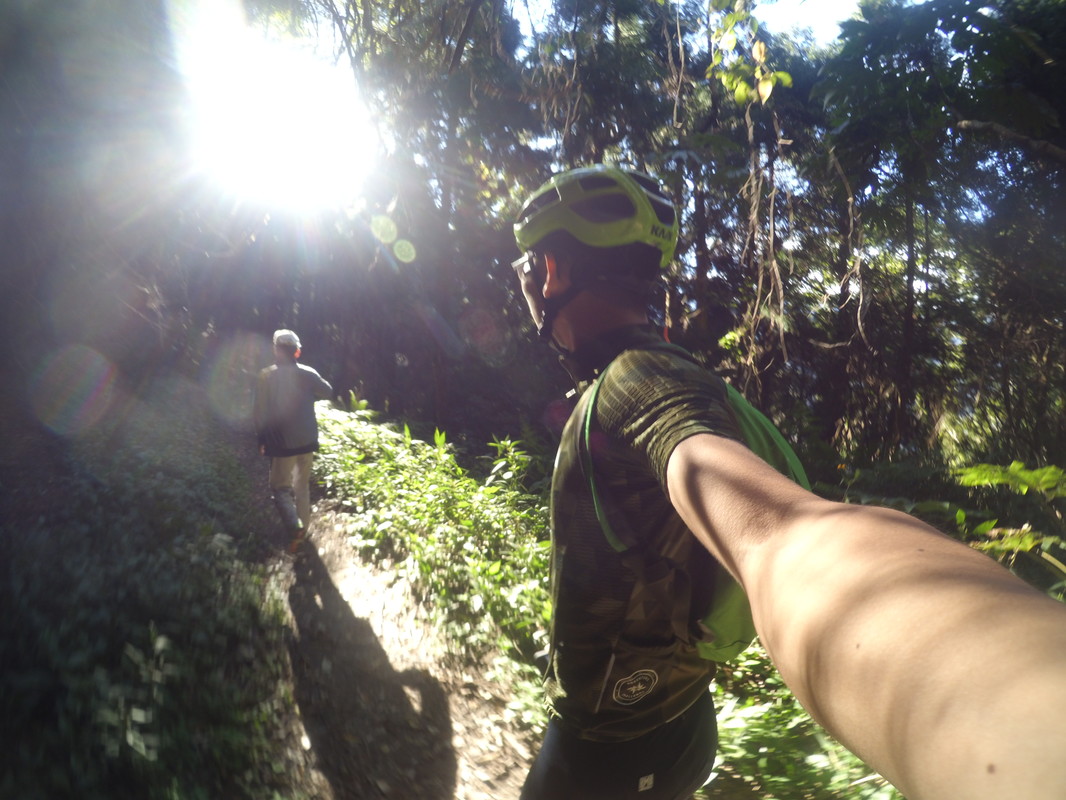
In the original journey, we crossed the barrier and walked to around the two-kilometer point without seeing the landslide.
Crossing that closure was not appropriate. A hazard need not be visible for a closure to matter; visitors should stop at barriers and follow current official instructions.
At that point the trail began to climb. My companion did not want to continue, so I turned back with him.
Along the way, we met three people wearing motorcycle-riding gear. They too had been surprised by the bicycle at the trailhead.
After a little conversation and an introduction to bikepacking, we each continued in our own direction.
No Feast Lasts Forever
Back at the trailhead, I said goodbye to my walking companion and took out the steamed buns I had originally brought for dinner.
I ate slowly in the mountains, trying to fix the scene in my memory.
No gathering lasts forever, and no steamed bun remains unfinished forever either.
When I had eaten the last of them, I climbed onto the bicycle and began the slow descent.
The scenery slipped past me.
The weekend was ending.
Original route record: The author’s historical activity on Strava. This records the old journey, not current access permission or conditions.
Bikepacking diary: Facebook