Molesworth Muster Trail | Four Days of Bikepacking in New Zealand
Translated from Bikepacking diary’s original Molesworth Muster Trail article, published on March 7, 2020, and republished by arrangement with the author. Photographs are linked directly from the original website.
Editor’s note: This is a historical travel account, not a current route or safety guide. Distances, grades, prices, transport policies, access and campsite arrangements reflect the author’s trip and sources at the time. Check current official guidance before departure, obtain required permissions and carry suitable navigation, emergency communication, food reserves and water-treatment equipment. The water quantities and river-crossing experiences below are personal observations, not safe minimums or instructions to copy. Equipment comments describe the author’s experience, not independent performance guarantees.
Why New Zealand?
Before leaving for Japan, I had heard stories from more experienced bikepackers who had ridden in New Zealand. Later, at Thunderbird, Fujie-san, the owner, spoke highly of it too. For someone who had previously associated New Zealand mainly with sheep, those conversations made an impression.
The previous summer, passport problems had disrupted Fujie-san’s planned Nepal trip, so he visited New Zealand again instead. The cycling magazine he brought back became my main planning reference.
It contained routes across both islands: easy and difficult, paved and off-road, single-day outings and multiday journeys. Similar information could be found through the cycling map and Great Rides app links at the end of this article.
Choosing Molesworth Muster
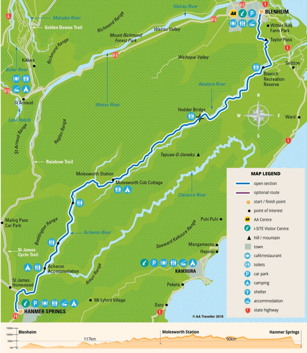
My reason for choosing Molesworth Muster was simple. The magazine used four difficulty categories, and this route sat in the hardest. It ran about 207 kilometers from Blenheim to Hanmer Springs, with almost no resupply in between.
The information I had suggested a small number of accommodation options and several camping areas. I needed camping equipment, all my food and a water filter. My original equipment list shows what I took.
The recommended riding time I found was three to five days. From the finish, I could connect with two other routes in the same highest category. It sounded exactly like the bikepacking adventure I wanted.
I planned three days and took four. It was harder than expected, though not beyond what I could manage by slowing down. My impression was that fitness, camping experience, enough food and extra time mattered more than trying to meet a fixed schedule. That was my experience, not a guarantee for every rider or set of conditions.
My Itinerary
- Day 0: Christchurch to Blenheim by bus.
- Day 1: Blenheim to Camden Cook Shop, about 70 kilometers.
- Day 2: Camden Cook Shop to Molesworth Cob Cottage Campground, about 55 kilometers.
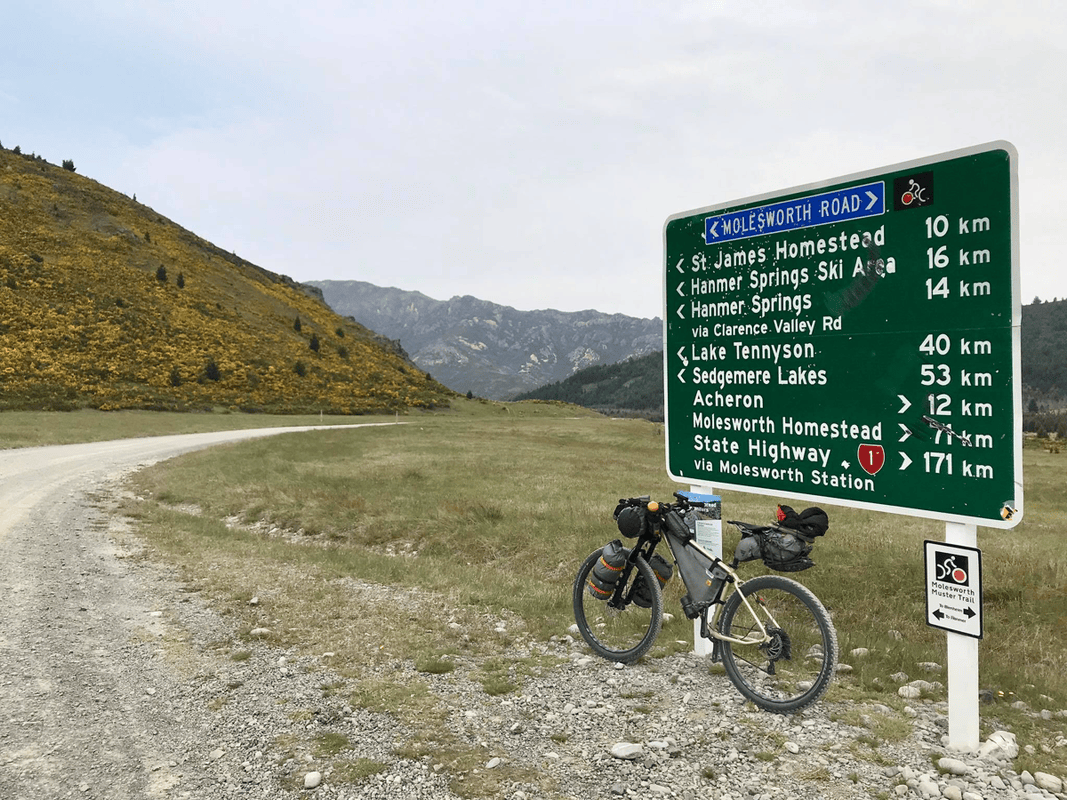
- Day 3: Molesworth Cob Cottage Campground to the Acheron accommodation-house campsite, about 58 kilometers.
- Day 4: Acheron to Hanmer Springs, about 23 kilometers.
Day 0: Christchurch to Blenheim
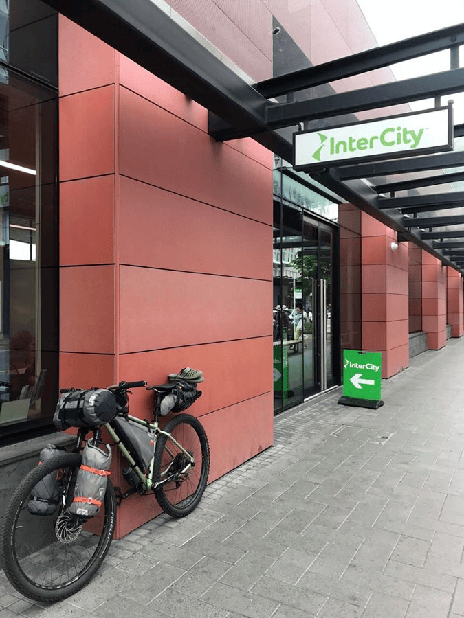
This was a straightforward bus day. I traveled from Christchurch to Blenheim with InterCity, a journey of roughly five and a half hours.
At the time, I understood that many services could carry bicycles for an extra NZD 10, paid to the driver. I paid the fee even though my bike was fully packed. The instructions I had required the wheels to be removed and the chain covered. I also noted the bicycle when booking so space could be allowed. Anyone repeating the journey should confirm the current service-specific policy rather than rely on those old arrangements.
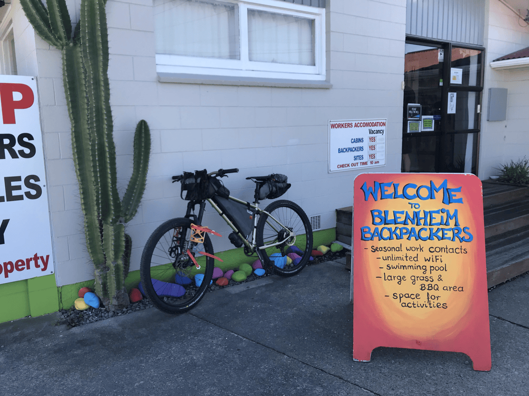
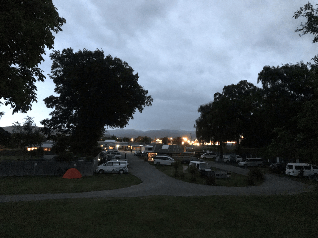
In Blenheim, I stayed at Blenheim Backpackers and Motor Camp. It had a large site, with rooms as well as camping. Reception closed early, around five or six, as I remember.
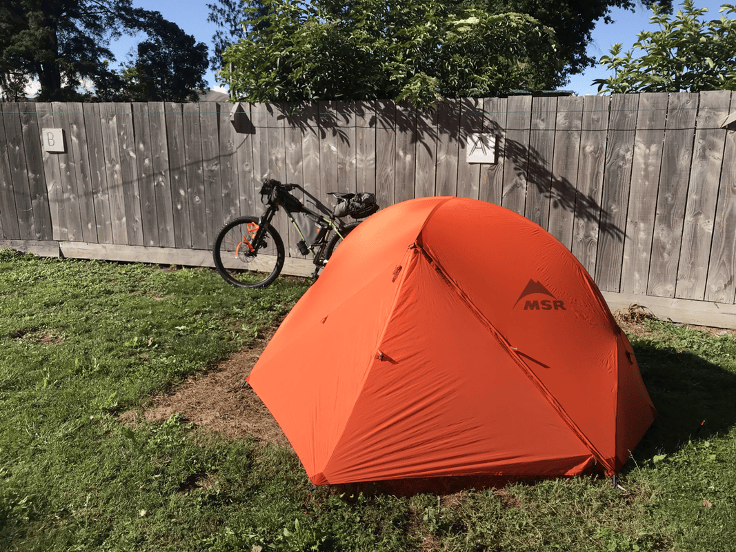
My bus left Christchurch at midday, so the office was already locked when I arrived. I entered through the open campground gate and asked someone for help. Another guest kindly showed me where I could pitch, where the toilets and kitchen were, and suggested paying the next morning.
I had seen online complaints about cleanliness, but this felt more like a partly self-service backpackers’ place than a conventional hotel. For me, NZD 20 for a pitch, hot water, a kitchen and somewhere to charge devices was excellent. I did not find it especially dirty, and the manager was friendly when I paid the following morning. This was how my particular late arrival worked out, not permission for visitors to arrive or camp without making arrangements.
Day 1: Blenheim to Camden Cook Shop
The day’s 70 kilometers crossed Taylor Pass into the Awatere Valley, then followed the valley inland.
The magazine described gravel, but the limited Street View imagery I found showed little of it. I wondered whether the route would turn out to be mostly paved. Once riding, I soon found the gravel.
Line choice mattered. Loose patches could make the rear wheel spin.
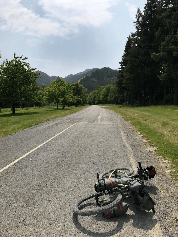
After Taylor Pass, I descended into the Awatere Valley and briefly returned to asphalt. With little gravel experience, I could not help thinking how wonderfully easy the paved road felt. Clearly, my bikepacking skills still had room to grow.
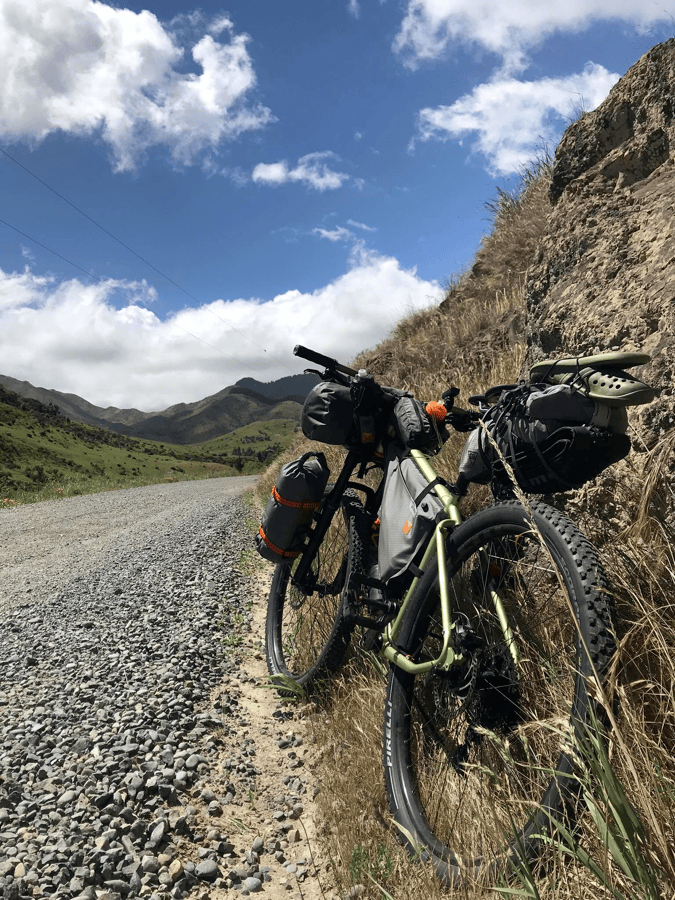
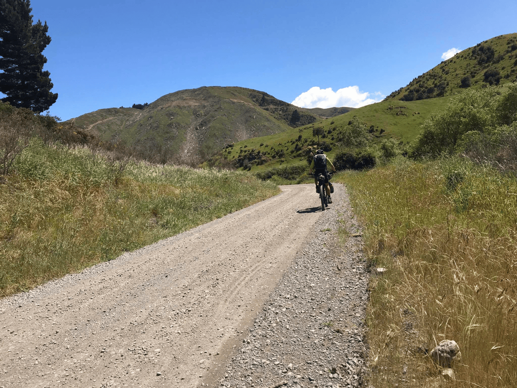
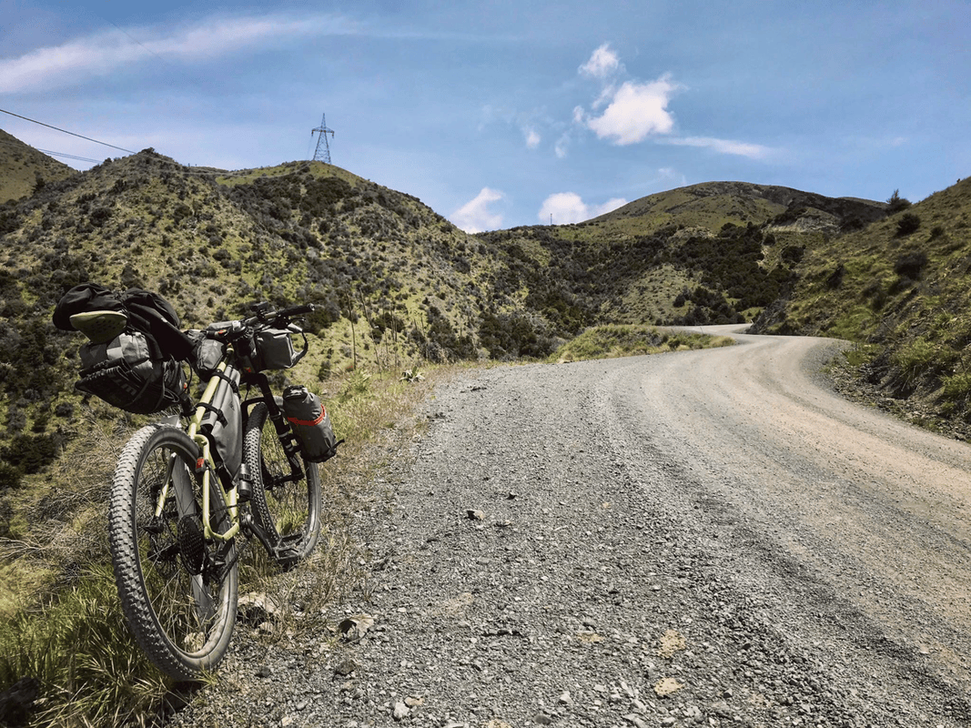
Before long, gravel returned to provide more practice. I kept wondering whether another paved section would appear, especially on such a broad road. It did not. Instead came endless gravel and roughly five steep climbs.
Good. This was why I had brought a mountain bike.
An Empty Valley and a Bed for the Night
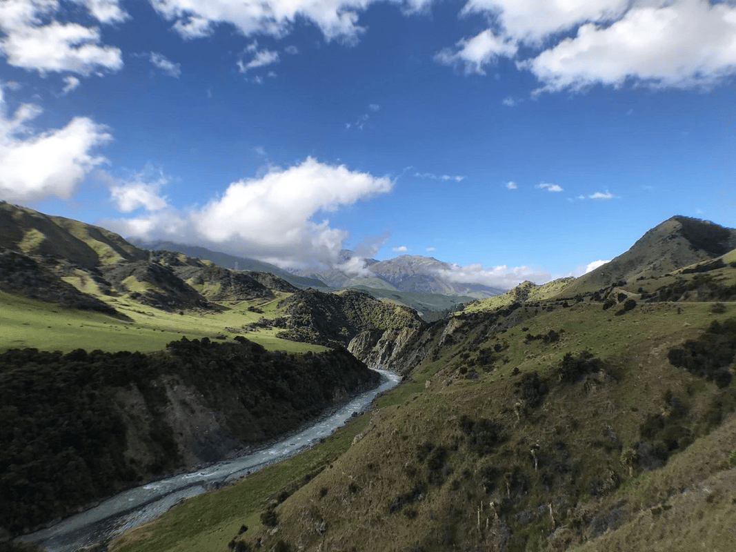
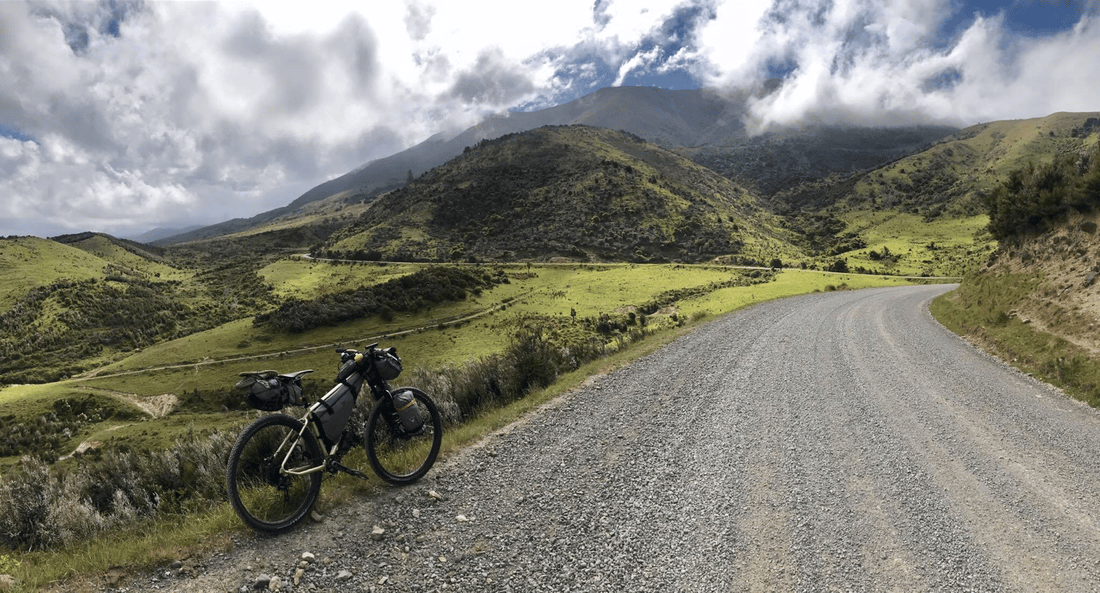
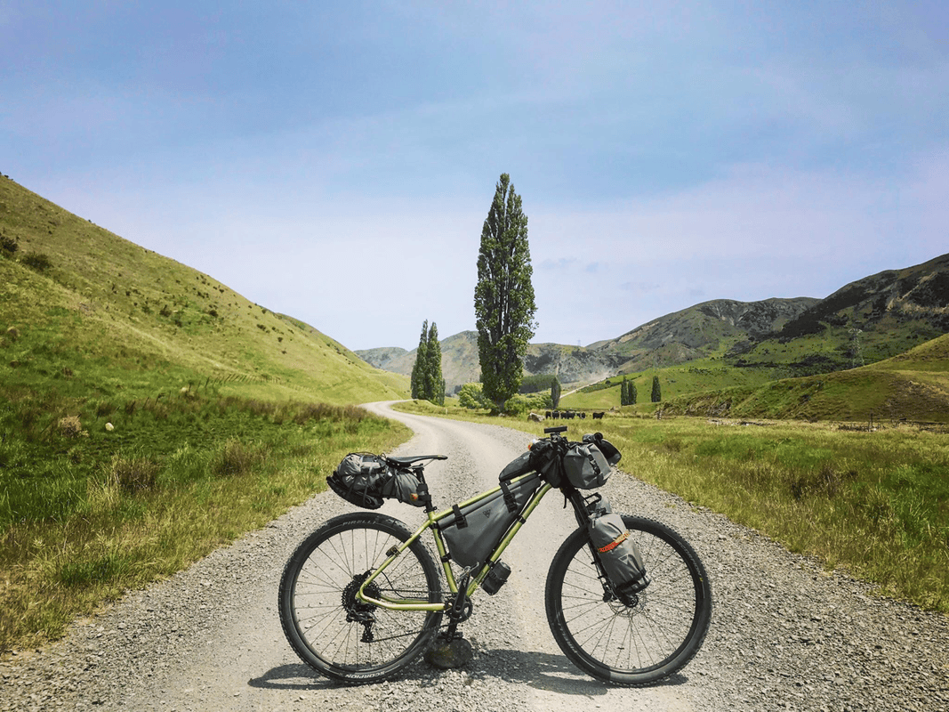
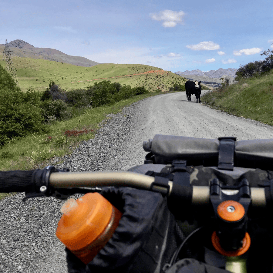
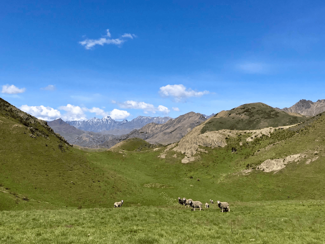
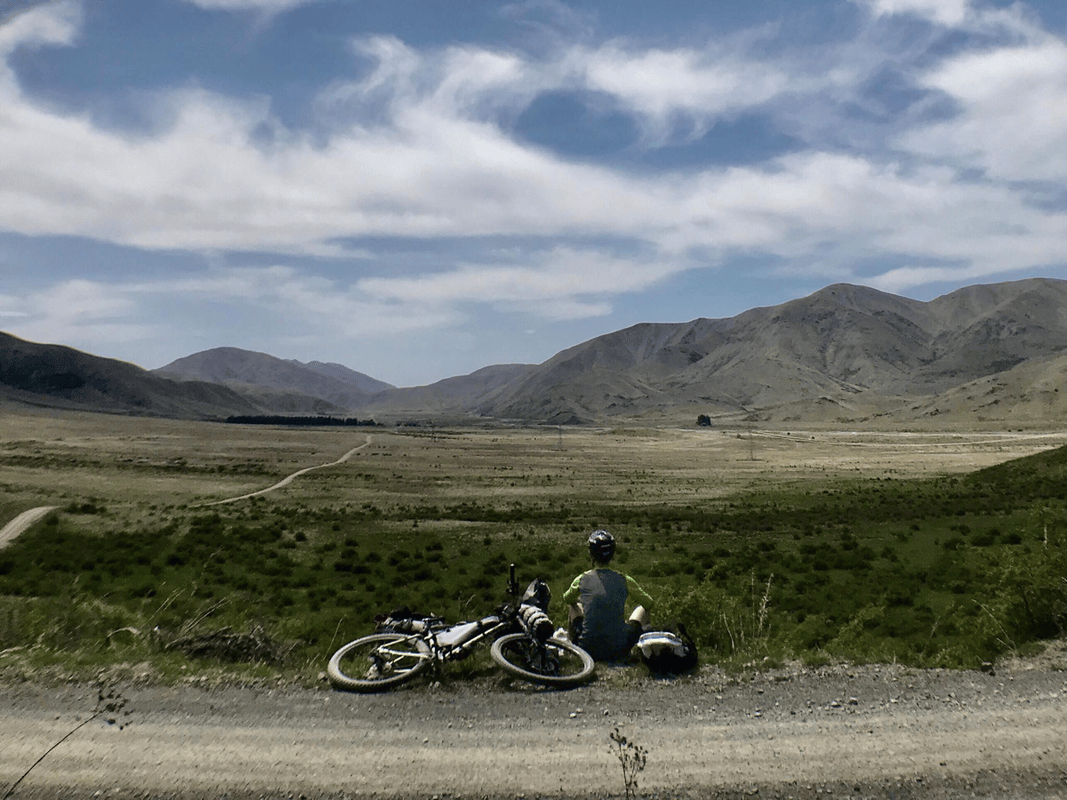
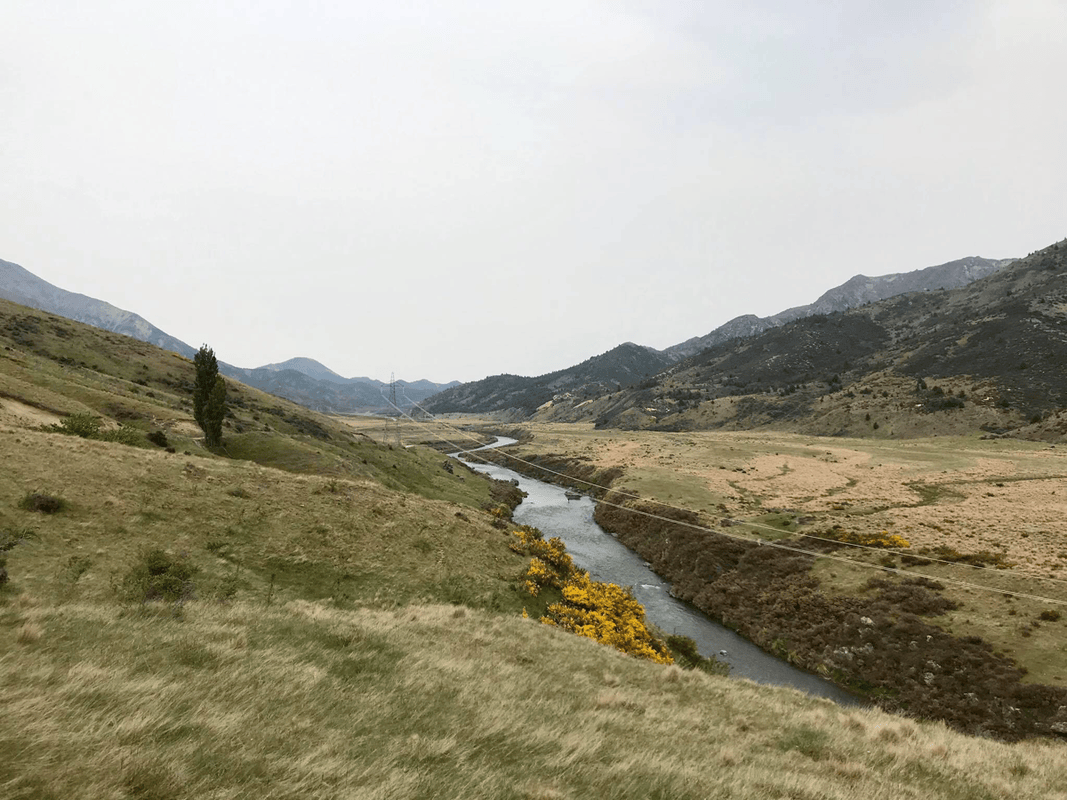
Awatere Valley Road rose and fell beside the river, passing grassland, hillsides, sheep and cattle. Apart from a few cars and two shepherds, I saw almost nobody. I had come to the right place.
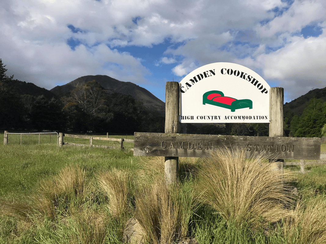
As the kilometers passed, I grew more comfortable on gravel, but my fatigue approached its limit. Just as I began thinking about stopping wherever I could, the Camden Cook Shop sign appeared beside the empty road.
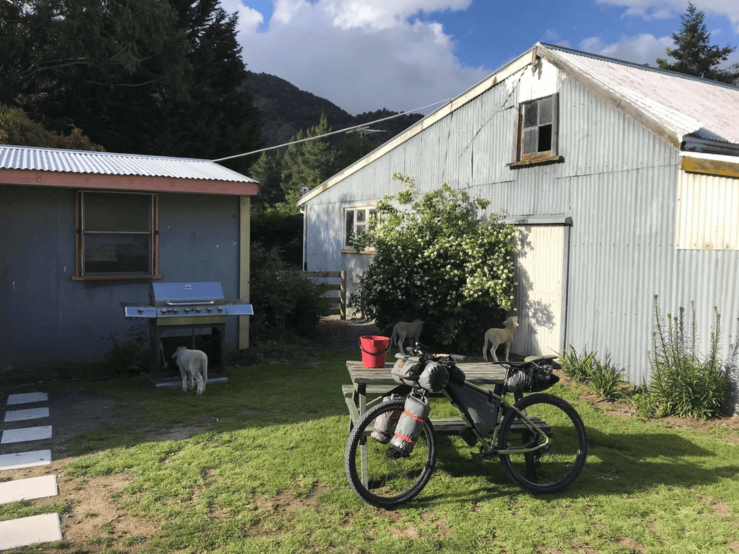
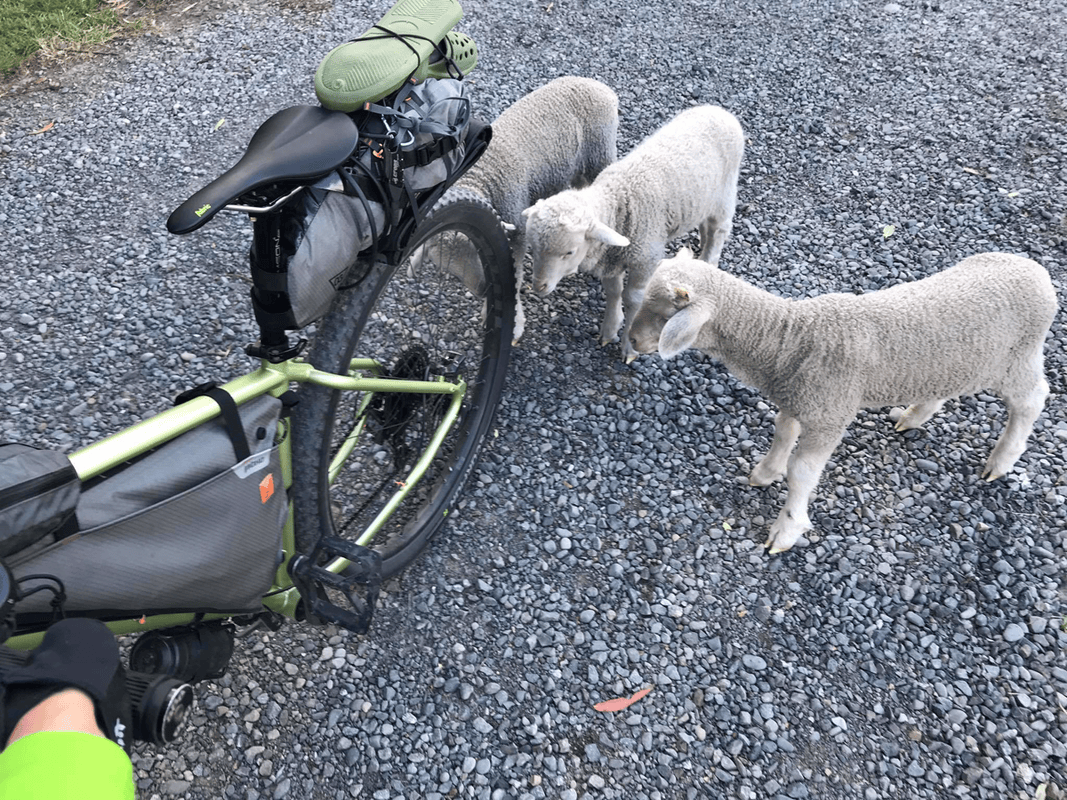
I opened the farm gate and rode slowly toward a building that looked like a farmhouse. My tentative calls of “hello” brought only a few lambs. They sniffed the bike with great curiosity but could not tell me whether I could stay.
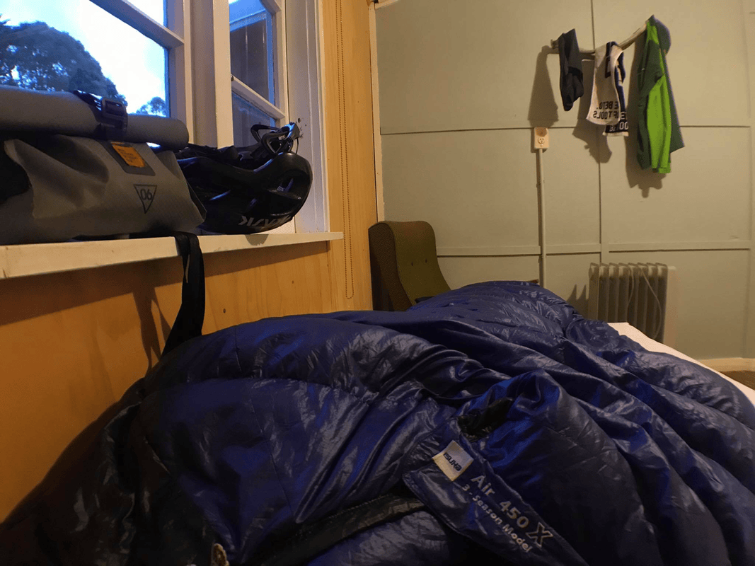
About half an hour later, the owner arrived. A single room was NZD 30; camping was NZD 22. The extra eight dollars for a bed seemed worthwhile.
I made dinner in the kitchen, showered and fell asleep almost immediately. It had been the longest gravel ride of my bikepacking life.
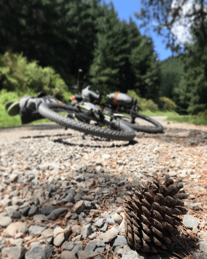
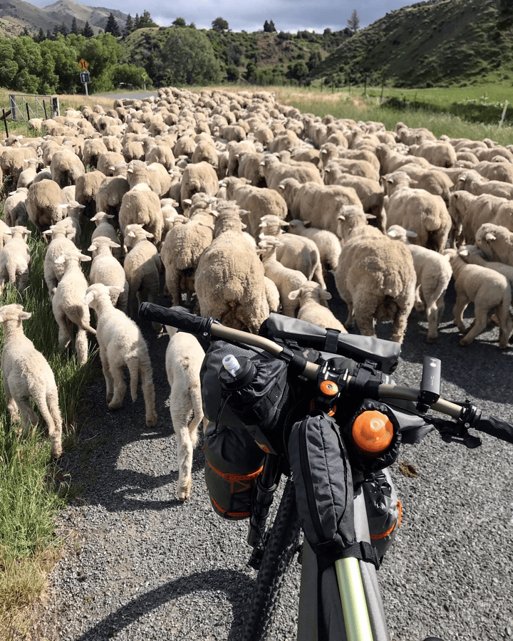
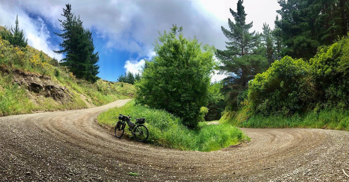
Day 2: Camden Cook Shop to Molesworth Cob Cottage
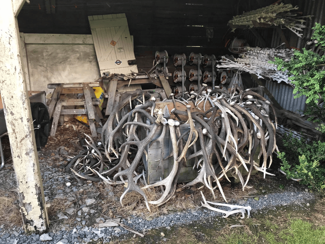
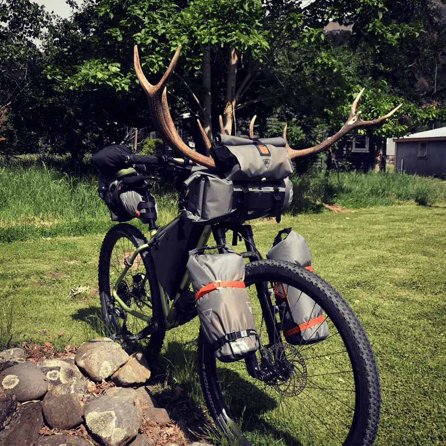
The time difference had shifted my sleeping hours, and I woke at nine again. After playing around with some antlers on the farm and giving the bike a druid-like appearance, I discovered it was already past half past ten.
That was a late start. I hoped there would not be too much climbing. How could a route along a river valley contain so many steep hills?
My legs felt surprisingly good despite the previous day’s effort. The heavy backpack had left my lower back tired and aching, but that too had mostly recovered.
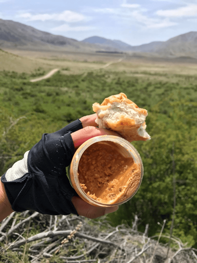
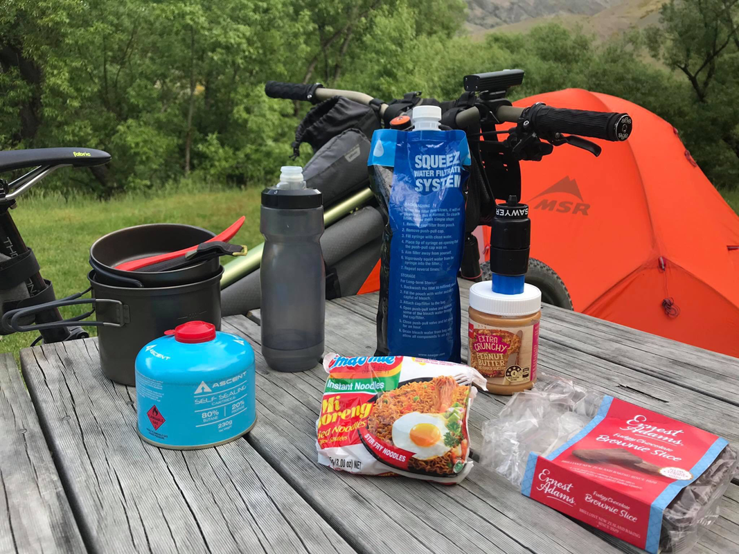
With some food already eaten, I rearranged the load. The unsweetened peanut butter I had been grumbling about and the chocolate brownies went into the handlebar bag. The Sawyer water pouch moved into the frame bag. That left five packets of instant noodles, toilet paper, an iPad and a power bank in the backpack.
The difference was substantial. This trip taught me how much I preferred riding without a heavy load on my back.
Every Climb Has Another Climb Behind It
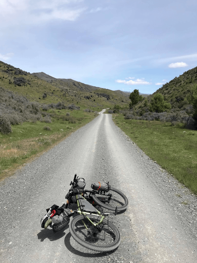
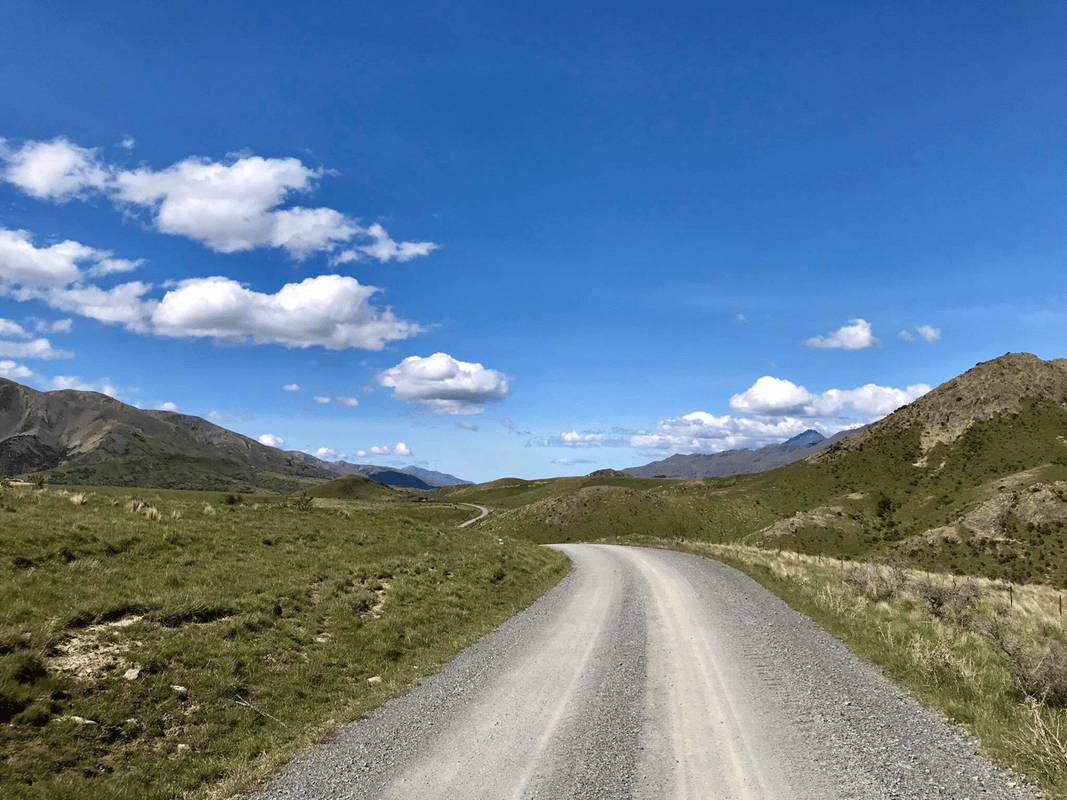
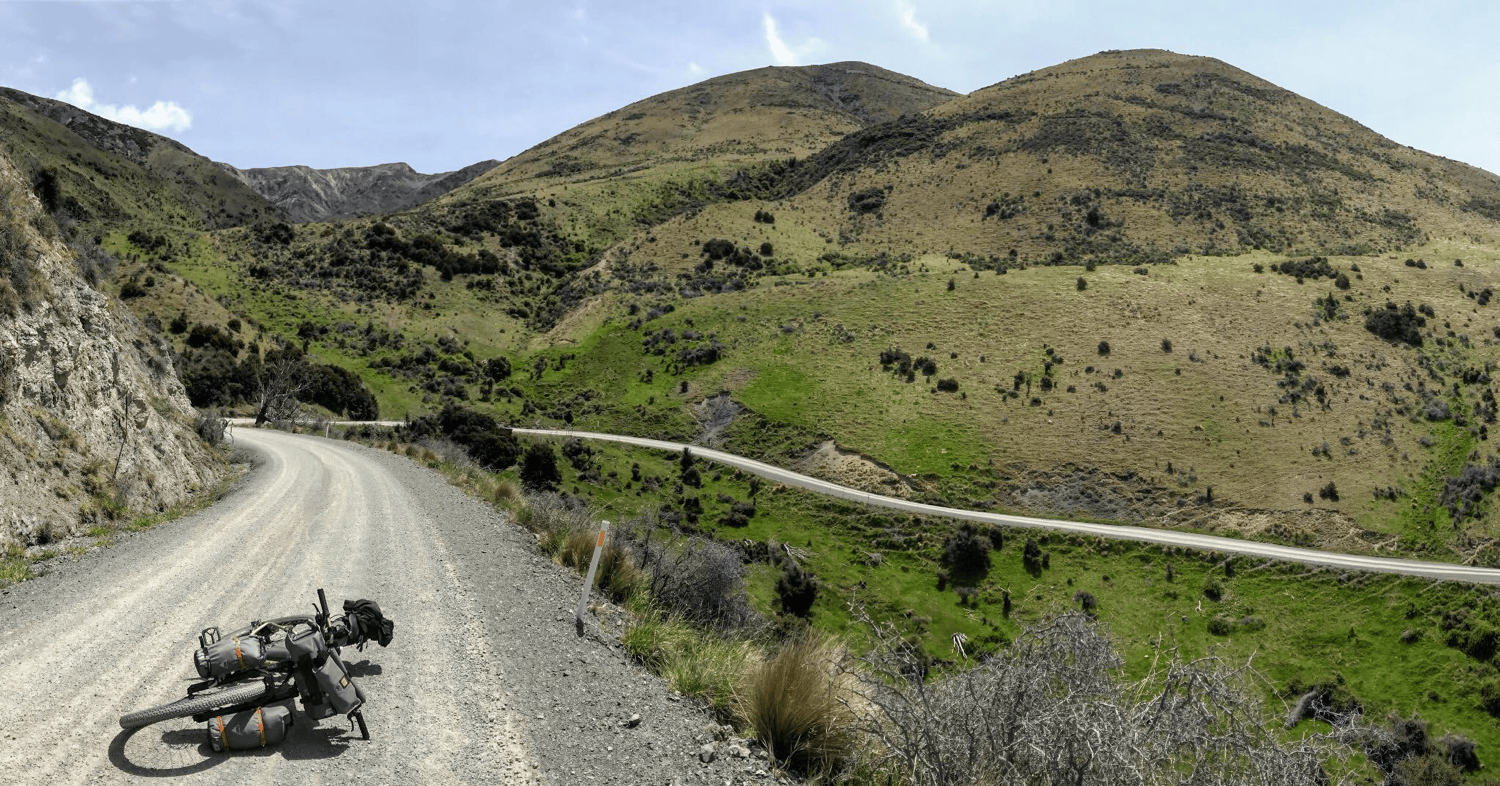
The road continued rising and falling along the river. I was beginning to understand its rhythm: climb a hill, descend immediately, then discover another climb.
Perhaps the fourth or fifth was so long and steep that even with my low gearing I dismounted once or twice to push. Reaching the top revealed a huge descent, ready to erase all that hard-earned elevation.
Such is life.
There were more vehicles than the previous day, though still only a handful, apart from a group of about fifteen off-road motorcycles with three support vehicles, one at the front, one in the middle and one behind.
I envied their speed as they swept past on the gravel. Would I rather have been on a motorbike? No. As long as my legs could carry me, I wanted to keep traveling by bicycle.
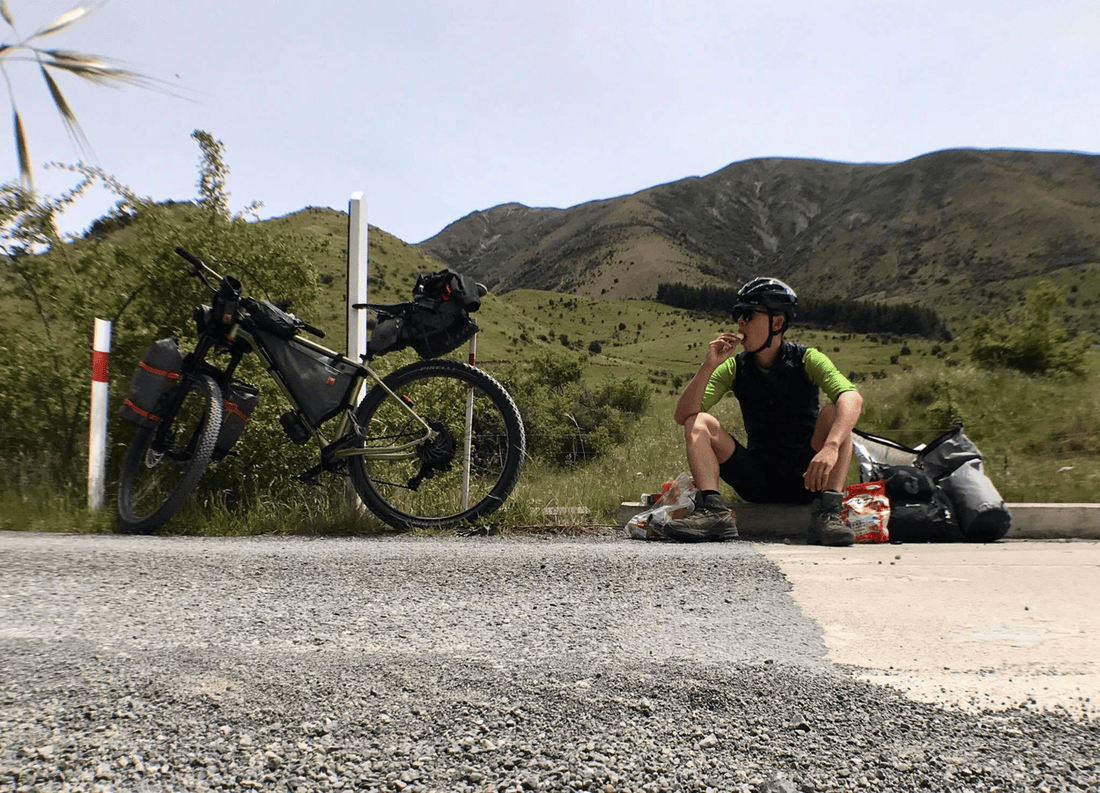
Despite appearing in a cycling magazine, the route’s highest difficulty rating and 200-plus-kilometer length probably discouraged many riders. Perhaps the weekdays also explained why I had seen no other cyclists.
Entering Molesworth
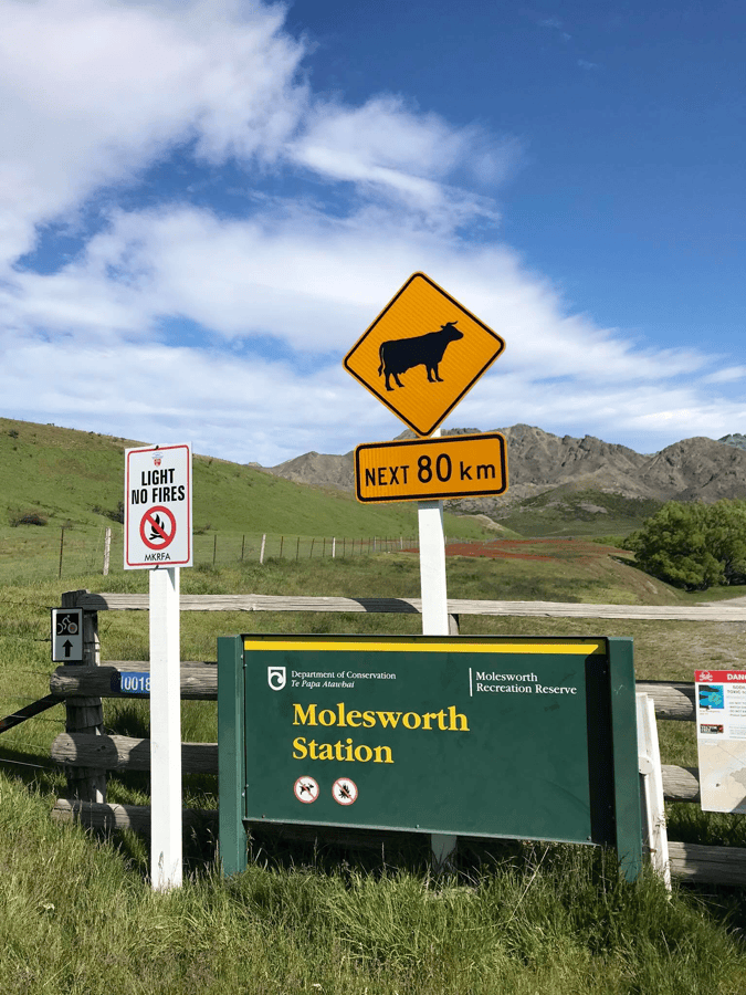
A white gate appeared ahead. Beyond it lay Molesworth Station, described in my information as New Zealand’s largest farm. About 80 kilometers of the route passed through it.
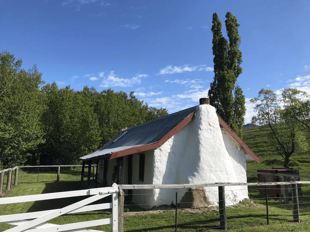
I thought my camping destination was another ten kilometers away, but just after entering I found a designated campsite charging NZD 8.
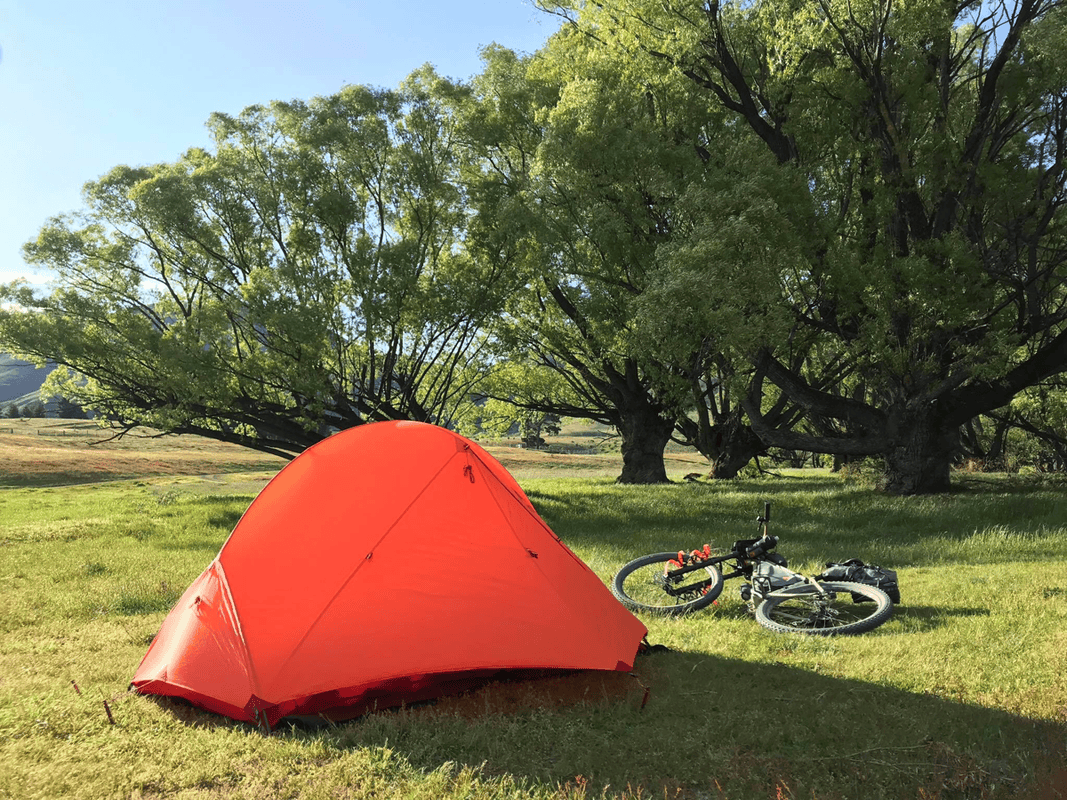
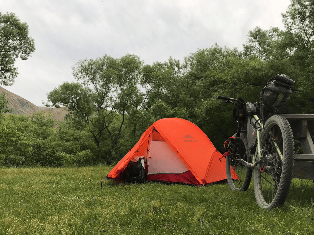
Whatever assumptions I had about the land’s ownership, I wanted to respect the site’s access and camping rules. I was tired anyway. I chose a spot near a table and began setting up.
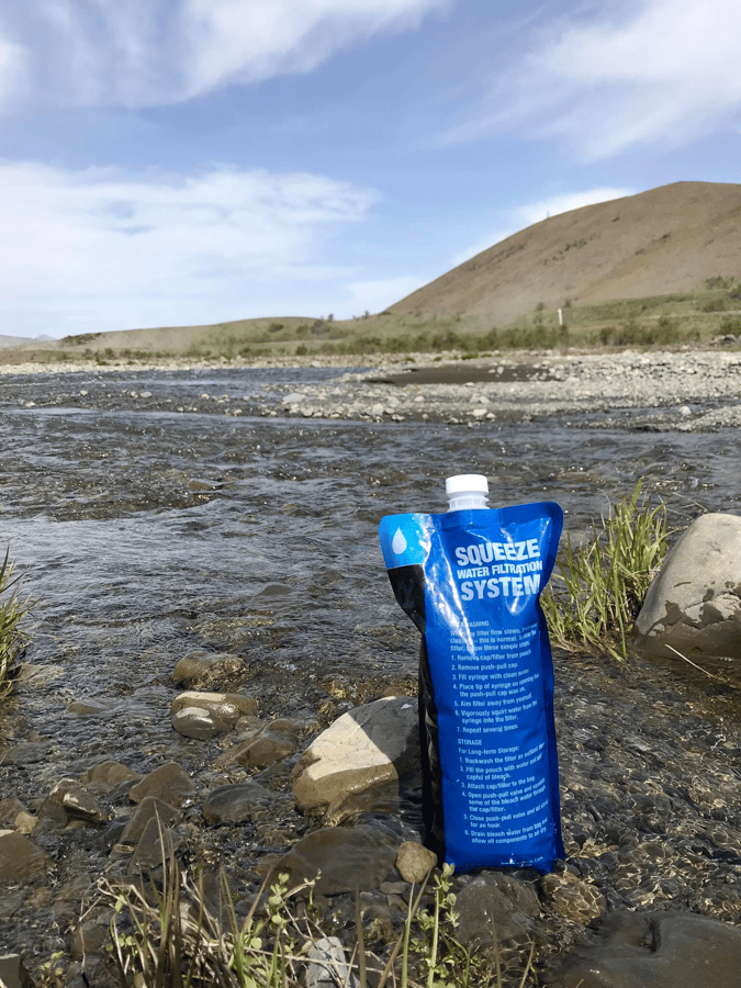
By then, I was ravenous. As soon as the tent was ready, I collected and filtered water using the Sawyer system, then cooked noodles.
As the magazine had warned, there was no mobile connection. That gave me a good reason to sleep early. Tomorrow would bring another hard day.
Day 3: Molesworth Cob Cottage to Acheron
I had been so tired that I dozed after dinner at seven, went to bed at ten, then slept until my seven o’clock alarm. I switched it off and slept until almost eight.
The bright sun finally encouraged me to move. My original three-day plan would have meant completing more than 80 remaining kilometers that day. After the previous two days, that seemed unwise, especially with the route’s highest pass ahead.
I decided to ride only to the campsite at the far end of the station, at Acheron Accommodation House, about 58 kilometers away.
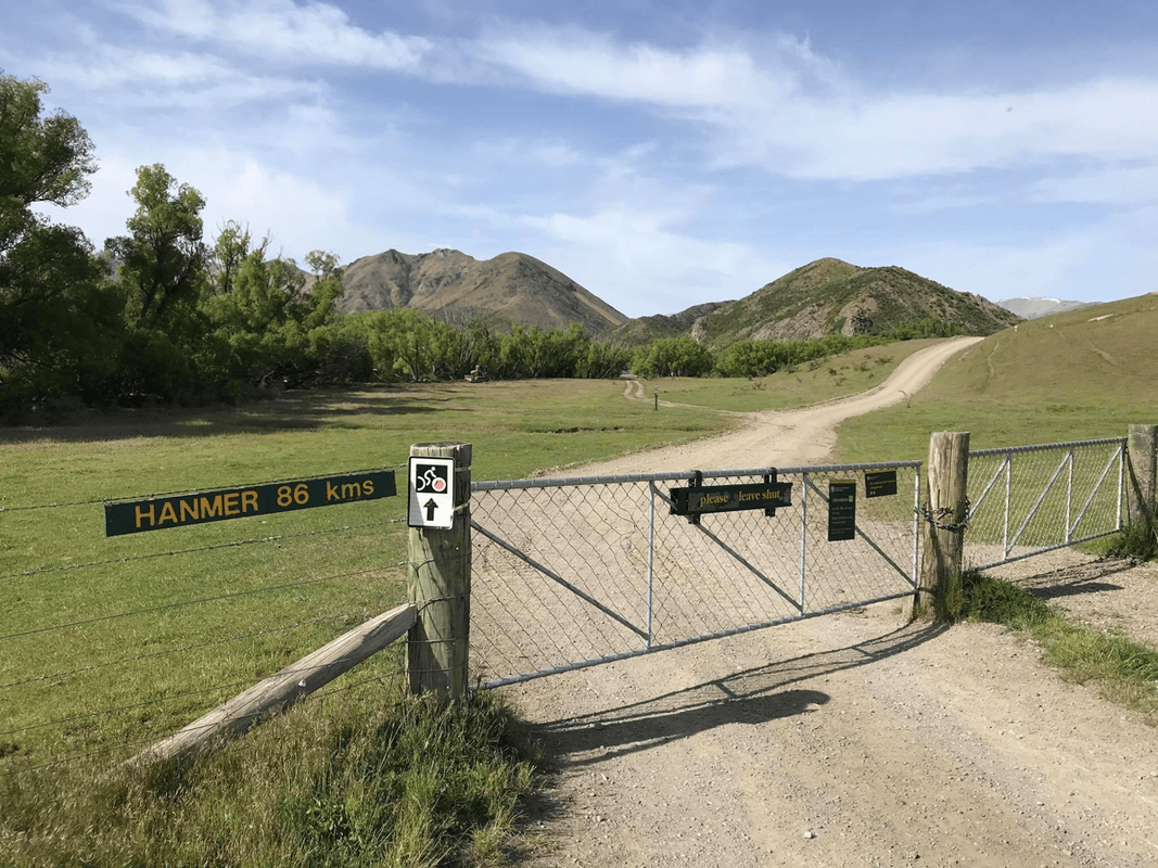
The first gate carried a clear instruction: no camping or overnight stops before the next designated campsite. I was traveling through managed land and intended to follow the rules. The NZD 8 camping charge seemed very reasonable to me, especially considering the work needed to maintain such a lightly traveled road.
Wards Pass
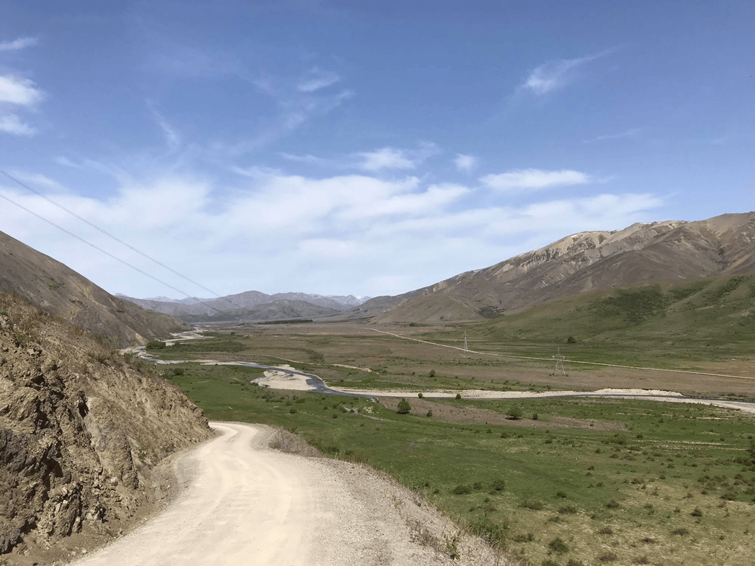
Soon the road moved away from the river. I suspected climbing was about to begin.
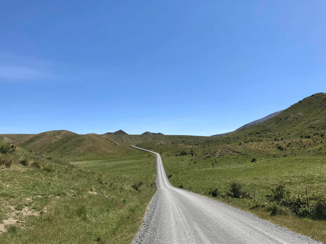
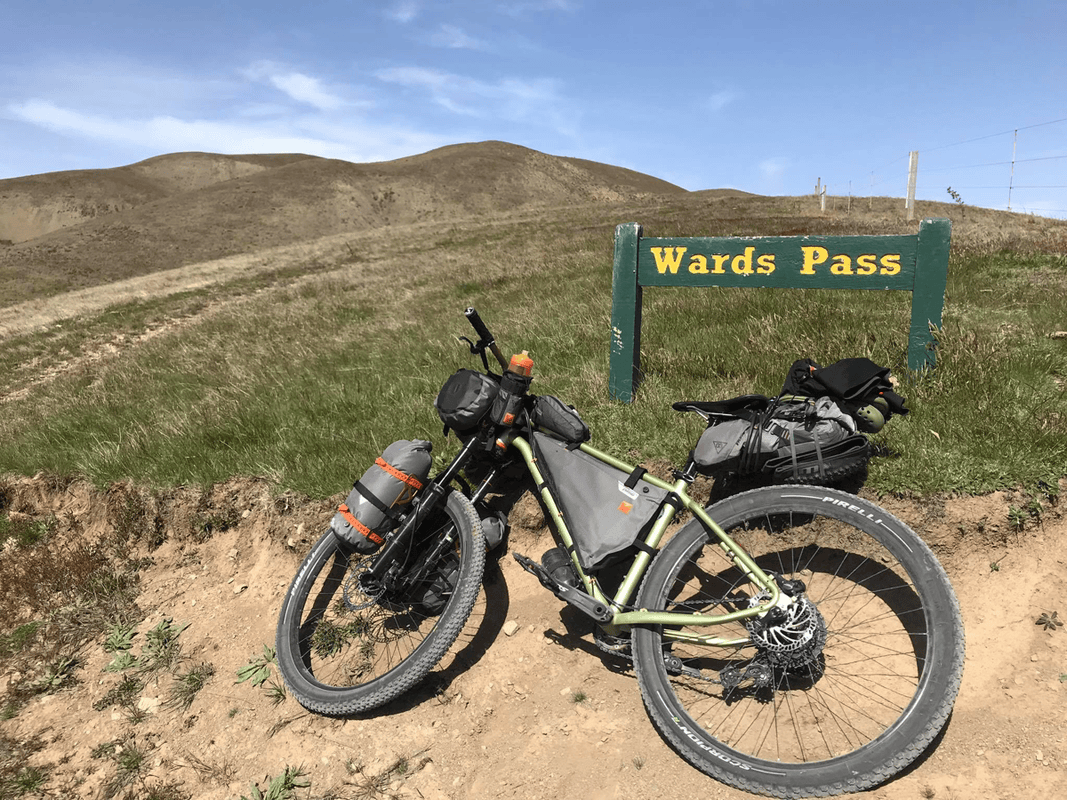
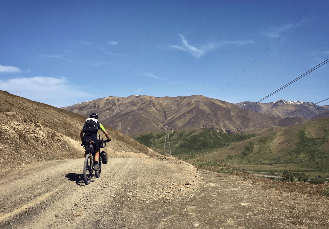
Sure enough, I entered a valley with the track tracing its way toward the high ground. Strong wind and steep gradients soon had me pushing. Bit by bit, I reached Wards Pass.
At roughly 1,100 meters, it was not an especially high pass, but gravel made the climb harder. Standing on the pedals tended to make the rear tire slip.
I descended cautiously. A straight, flatter section followed, but the wind had turned against me the previous afternoon, so even that was slow.
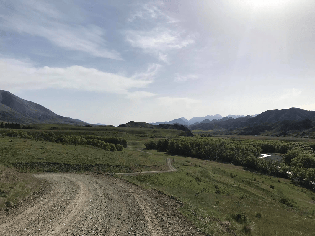
Then came more rises and falls. Side routes branched away, offering walking or riding on tracks associated with earlier settlement and land use. With extra time, I would have liked to explore the surrounding hills on foot.
Heat, Water and More Hills
There was little shade. Several days of strong sunshine had me drinking constantly.
I saw streams beside the road, though some were closer to small drainage channels. With livestock in the surrounding country, untreated water was not something I wanted to drink. I carried treatment equipment.
I usually drank relatively little and had often carried about a liter at a time. Beyond Wards Pass, water sources became fewer. Under the hot sun, with climb after climb, I drank more than three liters that day.
At the time, I suggested keeping around two liters available, but that was a personal reflection, not a reliable planning minimum. Actual needs and carrying capacity must account for temperature, exertion, treatment and the distance between dependable sources.
For a route supposedly following a river valley, it seemed remarkably determined to leave the river and climb around obstacles. Perhaps bridges would have cost too much. Below, I could see old tracks going straight into the water. The crossings looked deep, and I stayed with the road.
Eventually, after what felt like endless climbing and descending, a wooden campsite sign appeared. It was around four, a comfortable time to stop. I washed at the campsite tap, pitched the tent and settled down early.
Day 4: Acheron to Hanmer Springs
The plan was simple: descend toward the hot-spring town and finish the Molesworth Muster Trail.
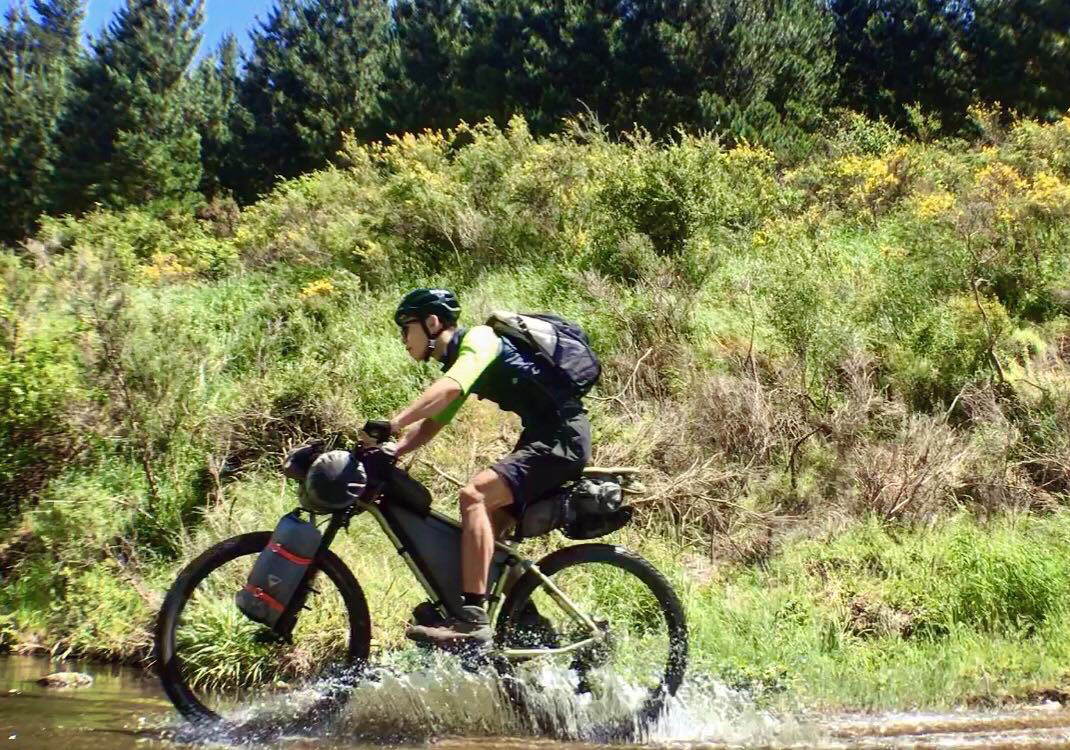
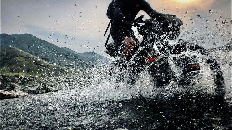
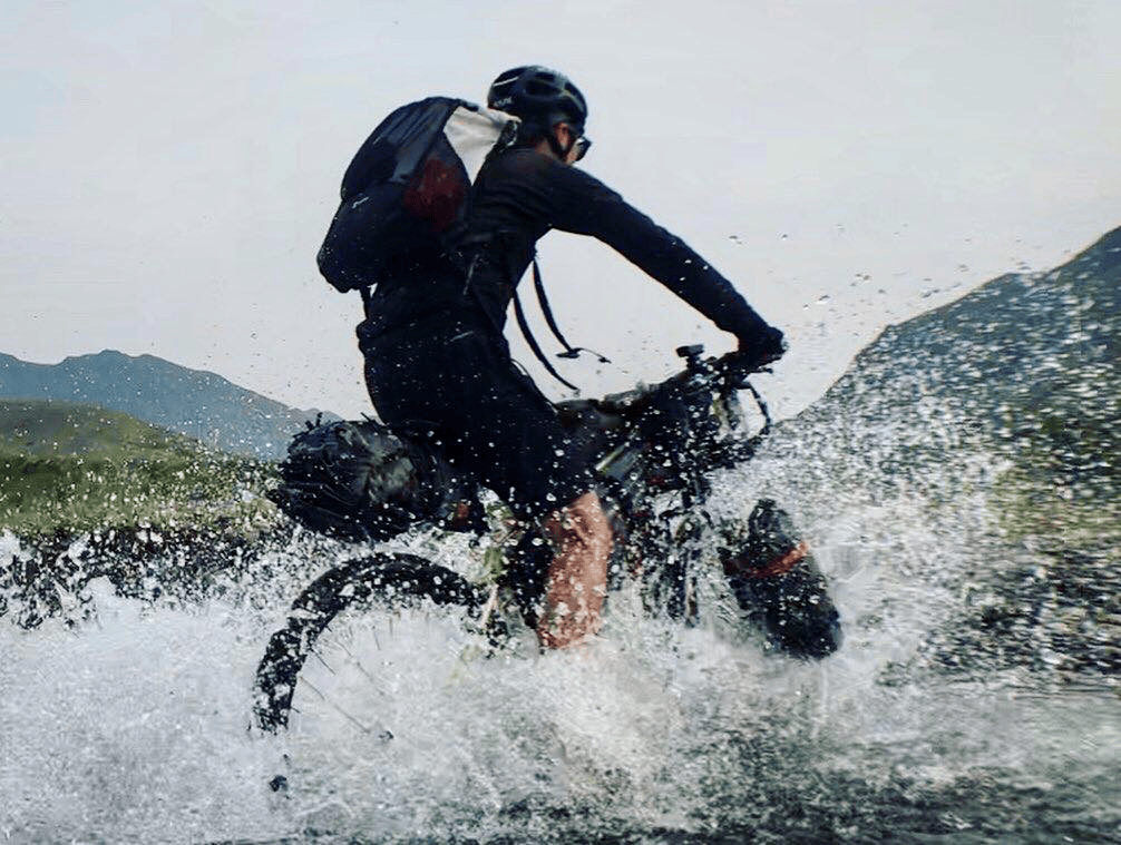
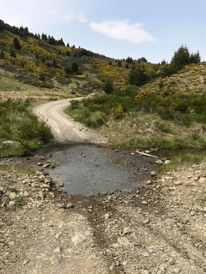
The opening terrain was gentler, with several stream crossings that added variety after days of repeated gravel climbs. Four-wheel-drive vehicles also used these sections.
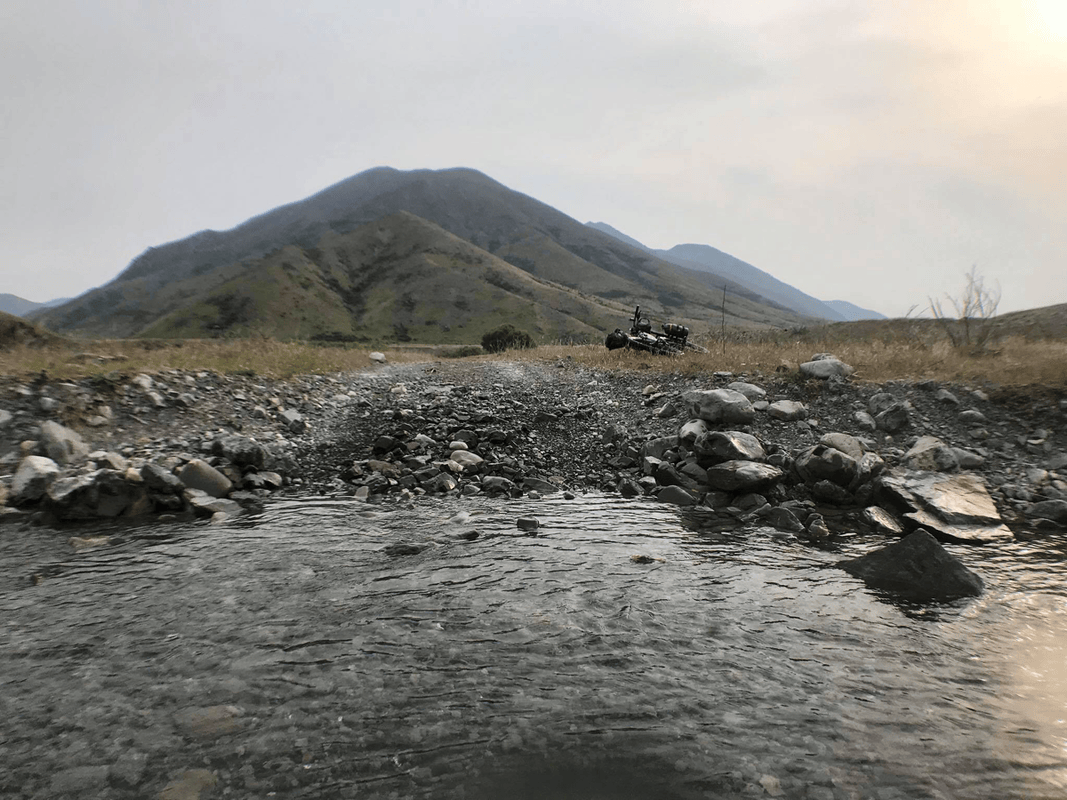
On my visit, some crossings felt manageable and shallow enough that my shoes did not become completely soaked; at others, I changed footwear. That description should not be taken as guidance to ride through water. Depth, current and the underlying surface can change, and a previous vehicle crossing does not establish safety.
What the Equipment Taught Me
A trip like this tested the gear as well as the rider. Since beginning bikepacking, I had tried clothing beyond traditional cycling brands.
The Patagonia cycling shorts I wore felt flexible and comfortable. Side adjustments made it easy to change the fit without feeling restricted. The angled zip pocket on the left seemed well suited to a phone, holding it securely while keeping it accessible.
The phone did not fall out during the crossings, of course, because I had put it on the riverbank to film.
I often used my 30-liter Hanchor TUFF pack for day hikes. This was its first cycling trip, and a heavy load put strain on my lower back. My personal conclusion was to keep a cycling backpack under about three kilograms, though comfort and load limits vary by rider and equipment.
The WOHO bags were familiar companions. This was the first time I had taken them through stream crossings, but they had already accompanied me through prolonged heavy rain. Based on that experience, I felt confident about brief splashes. That was my own experience with this setup, not a guarantee of waterproofness under every condition.
The Old Crow and Jollies Pass
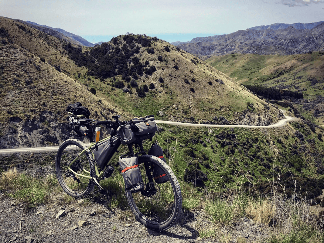
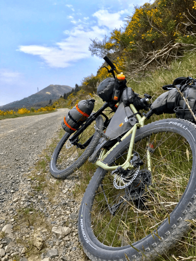
This was my first bikepacking trip on a mountain bike. Given the route’s gravel and the magazine’s difficulty rating, it felt like the right choice.
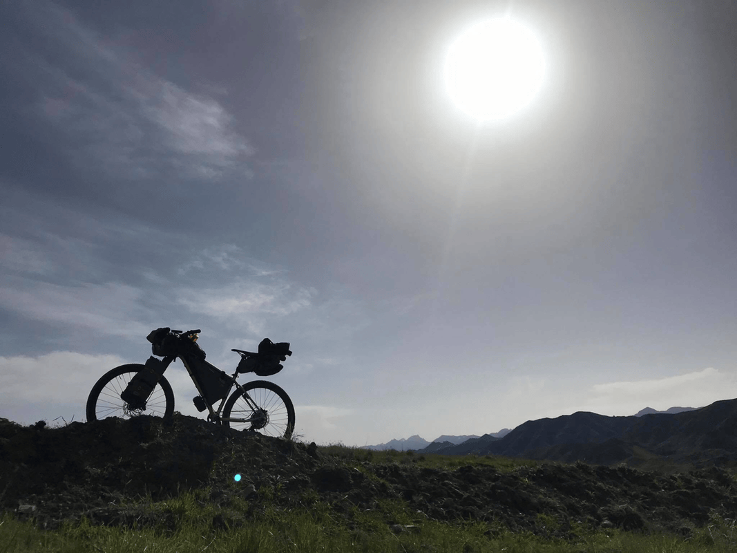
I thought a rigid bike might also manage the route, but expected it would be harder on my hands. Before departure, a friend had built up WOHO’s Old Crow, and I had cheekily asked to borrow it for New Zealand.
With limited mountain-bike experience, I appreciated how stable it felt. On gravel, particularly downhill, the broad tires gave me confidence.
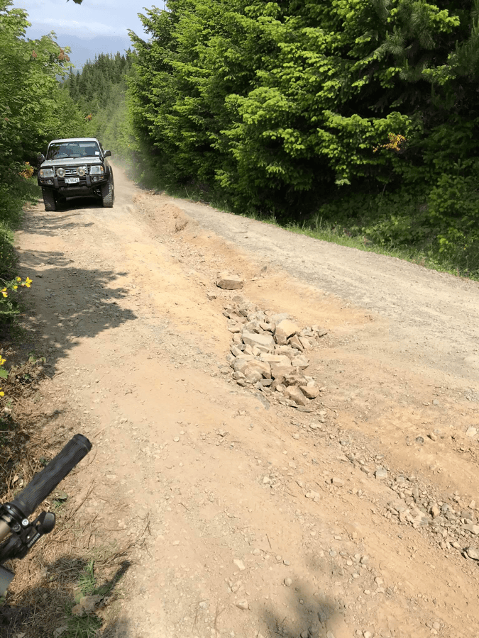
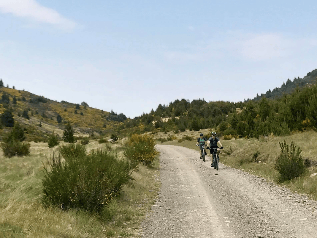
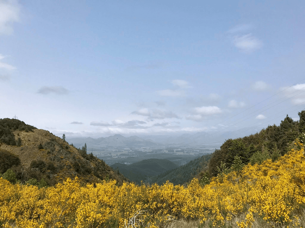
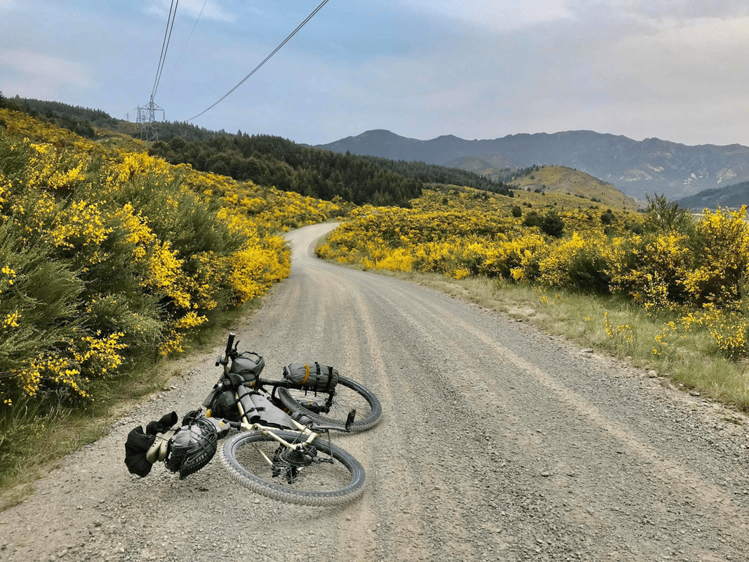
By Jollies Pass, I was especially grateful to my friend. Early on, the route passed yellow flowers and enjoyable crossings. Then its character changed: steep gradients, rough ground and larger rocks made the final descent a serious challenge for me.
I concentrated, used the limited skills I had and descended carefully. There were moments of sliding and movement that kept me alert, but I reached Hanmer Springs without incident.
That brought four days of Molesworth Muster bikepacking to an end.
Resources from the Original Article
These links accompanied the original account. Use current official information to check seasonal access, route conditions, services and requirements.
- Flying to New Zealand with a bicycle: the author’s airport notes
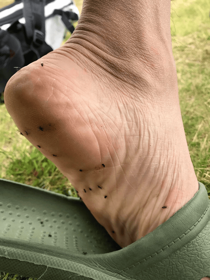
- The author strongly recommended repellent suitable for sandflies.
- Original equipment list
- New Zealand cycling map
- New Zealand Cycle Trail: Molesworth Muster Trail
- Route map linked in the original article, 2018 edition
- Great Rides app information. The author had not used it during this trip but later found its planning information promising.
- MetService weather information. The author had heard favorable reports but had not used it on the trip.
Bikepacking diary: Instagram · YouTube